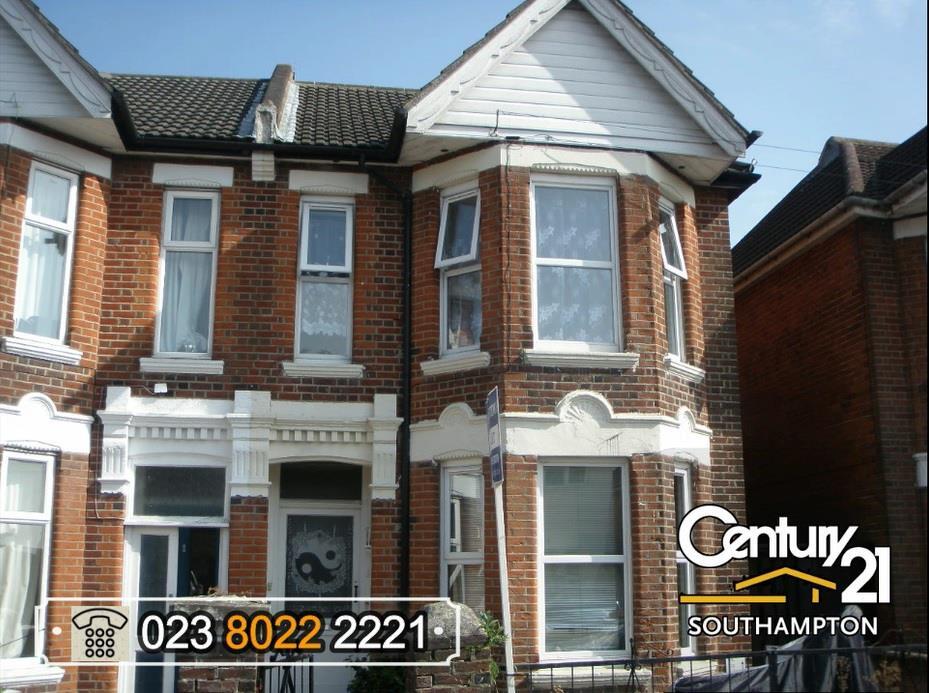

|Ref. R152454|, Cedar Road, Southampton, SO14 6TH
By Century21 Southampton
£ 875
Century21 Southampton says ..
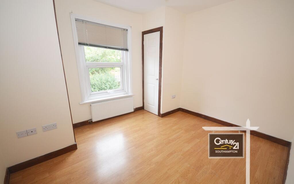
| *** AVAILABLE NOW *** | *** FIRST FLOOR *** | *** UNFURNISHED *** | *** COUNCIL TAX BAND: A *** | *** EPC BAND: D *** |
- Bedrooms
- 1
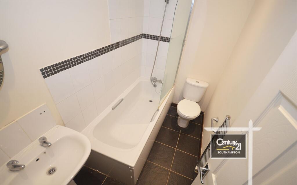
- Bathrooms
- 1
The heatmap indicates the level of crime in the area. The color of the heatmap indicates the crime severity and recency.
Metrics Year-on-Year
- Average area value
- 278,177.00 £Increased by 15.61 %
- Average area rental value
- 1,174.00 £/moIncreased by 8.60 %
- Est rental Yield
- 5.06 %Decreased by 6.12 %
- Crime Rate
- 5.00 %Unchanged by 0.00 %
from 240,625.00 £
from 1,081.00 £/mo
from 5.39 %
from 5.00 %
Agent Activity
Century21 Southampton created the listing.
Nearby Schools
| Name | Type | Ofsted | Distance |
|---|---|---|---|
| Bevois Town Primary School | Foundation School | Good | 0.12 KM |
| Portswood Sure Start Childrens Centre | Children's Centre | 0.55 KM | |
| The Gregg Preparatory School | Other Independent School | 0.60 KM | |
| Mount Pleasant Junior School | Foundation School | Requires improvement | 0.80 KM |
| St Anne'S Catholic School | Academy Converter | Outstanding | 0.89 KM |
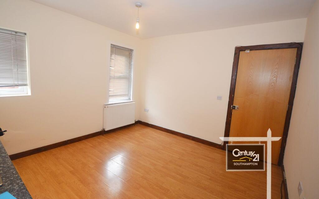
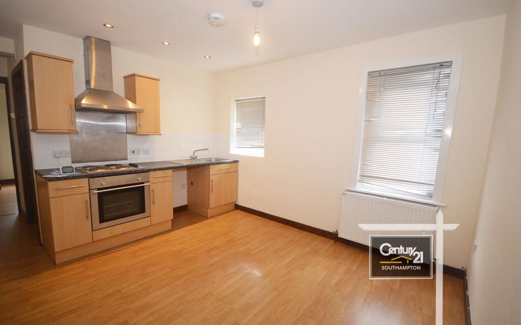
Images
Nearby Streets
| Name | Average Price | Average Sqft | Distance |
|---|---|---|---|
| Russell Place | £ 0 | 0 | 0.00 KM |
| Raven Road | £ 0 | 0 | 0.00 KM |
| Grosvenor Square | £ 0 | 0 | 0.00 KM |
| St Andrews Road | £ 0 | 0 | 0.00 KM |
| Kingsway | £ 329,950 | 0 | 0.00 KM |
Nearby Transport
| Name | NLC | TLC | Distance |
|---|---|---|---|
| St Denys | 5914 | SDN | 1.32 KM |
| Southampton Central | 5932 | SOU | 2.08 KM |
| Bitterne | 5945 | BTE | 2.49 KM |
| Woolston | 5925 | WLS | 3.39 KM |
| Swaythling | 5933 | SWG | 3.48 KM |
Nearby Listings
| Address | Price | Type | Score | Distance |
|---|---|---|---|---|
| |Ref. R152606|, Cedar Road, Southampton, SO14 6TH | £ 700 | RENT | Unknown | 0.00 KM |
| |Ref. R152454|, Cedar Road, Southampton, SO14 6TH | £ 875 | RENT | Unknown | 0.00 KM |
| 94 Cedar Road | £ 792 | RENT | Unknown | 0.01 KM |
| 92 Cedar Road | £ 750 | RENT | Unknown | 0.01 KM |
| Lodge Road, | £ 1,300 | RENT | Unknown | 0.04 KM |
Nearby Properties
| Address | Price | Distance |
|---|---|---|
| 64a Lodge Road | £ 128,000 | 0.04 KM |
| 74 Lodge Road | £ 55,000 | 0.04 KM |
| 70 Lodge Road | £ 175,000 | 0.04 KM |
| 72 Lodge Road | £ 80,000 | 0.04 KM |
| 76 Lodge Road | £ 240,000 | 0.04 KM |