
HA
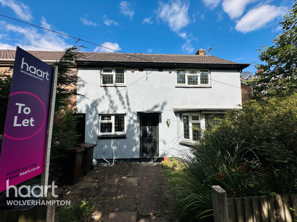
Northdale, Wolverhampton
By haart
£ 1,300
haart says ..
**NO DEPOSIT OPTION AVAILABLE**
- Bedrooms
- 3
- Bathrooms
- 1
The heatmap indicates the level of crime in the area. The color of the heatmap indicates the crime severity and recency.
Metrics Year-on-Year
- Average area value
- 272,500.00 £Decreased by 25.92 %
- Average area rental value
- 1,810.00 £/moIncreased by 29.19 %
- Est rental Yield
- 7.97 %Increased by 74.40 %
- Crime Rate
- 18.00 %Unchanged by 0.00 %
from 367,859.00 £
from 1,401.00 £/mo
from 4.57 %
from 18.00 %
Agent Activity
haart created the listing.
Nearby Schools
| Name | Type | Ofsted | Distance |
|---|---|---|---|
| Christ Church (Church Of England) Junior School | Voluntary Controlled School | Good | 0.28 KM |
| Tettenhall Wood School | Community Special School | Good | 0.42 KM |
| The King'S Church Of England School | Academy Sponsor Led | 0.55 KM | |
| Christ Church (Church Of England) Infant And Nursery School | Voluntary Controlled School | Good | 0.80 KM |
| Woodthorne Primary School | Academy Converter | 0.84 KM |
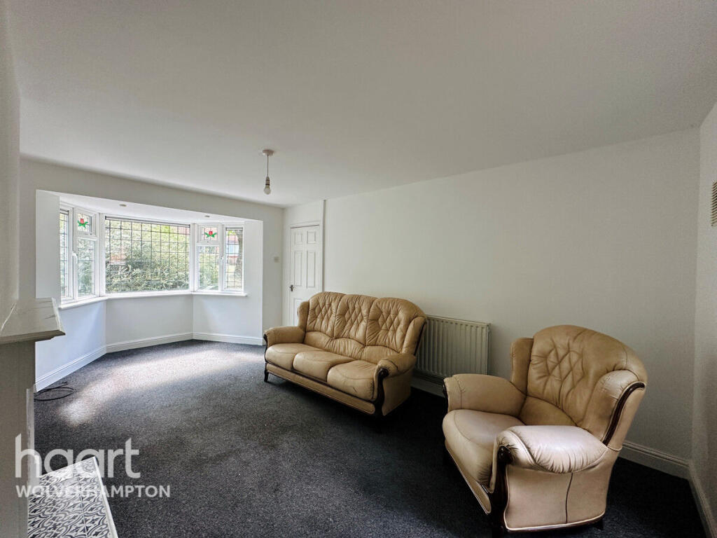
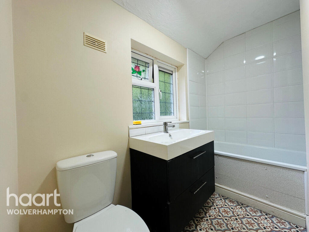
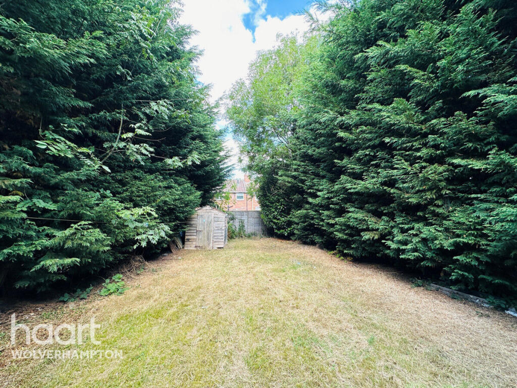
Images


Nearby Streets
| Name | Average Price | Average Sqft | Distance |
|---|---|---|---|
| Regis Road | £ 279,950 | 0 | 0.00 KM |
| Davenport Road | £ 0 | 0 | 0.00 KM |
| Long Lake Avenue | £ 0 | 0 | 0.00 KM |
| Kirstead Gardens | £ 0 | 0 | 0.00 KM |
| path | £ 0 | 0 | 0.00 KM |
Nearby Transport
| Name | NLC | TLC | Distance |
|---|---|---|---|
| Bilbrook | 4618 | BBK | 3.19 KM |
| Codsall | 4616 | CSL | 4.28 KM |
| Wolverhampton | 1218 | WVH | 6.68 KM |
Nearby Listings
| Address | Price | Type | Score | Distance |
|---|---|---|---|---|
| Northdale, Wolverhampton | £ 1,300 | RENT | Unknown | 0.00 KM |
| Northdale, Tettenhall Wood, Wolverhampton | £ 1,250 | RENT | Unknown | 0.02 KM |
| Northdale, Tettenhall, Wolverhampton, West Midlands, WV6 | £ 1,195 | RENT | Unknown | 0.11 KM |
| Cornwall Road, Wolverhampton, WV6 | £ 1,100 | RENT | Unknown | 0.18 KM |
| Woodhouse Road, Tettenhall Wood WV6 | £ 800 | RENT | Unknown | 0.22 KM |
Nearby Properties
| Address | Price | Distance |
|---|---|---|
| 3 Northdale | £ 125,000 | 0.02 KM |
| 16 Northdale | £ 120,000 | 0.02 KM |
| 7 Northdale | £ 121,000 | 0.02 KM |
| 10 Northdale | £ 109,000 | 0.02 KM |
| 13 Northdale | £ 205,000 | 0.02 KM |