HA
Moorgate Avenue, Leicester
By haart
£ 1,200
haart says ..
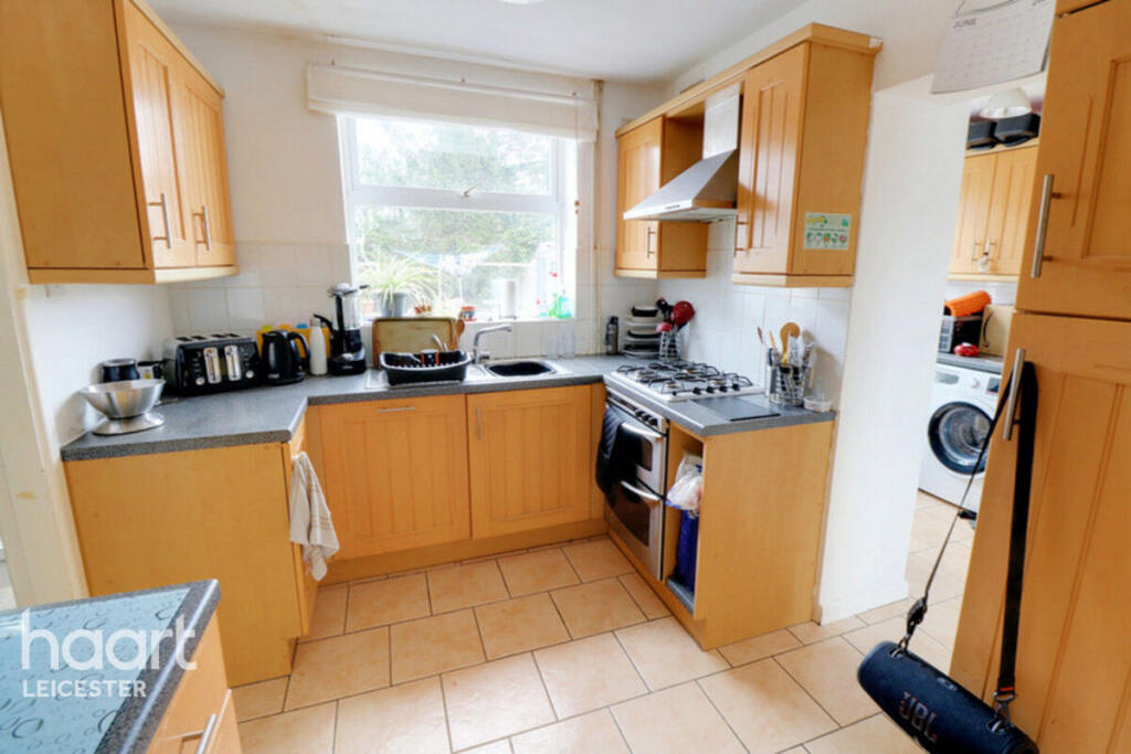
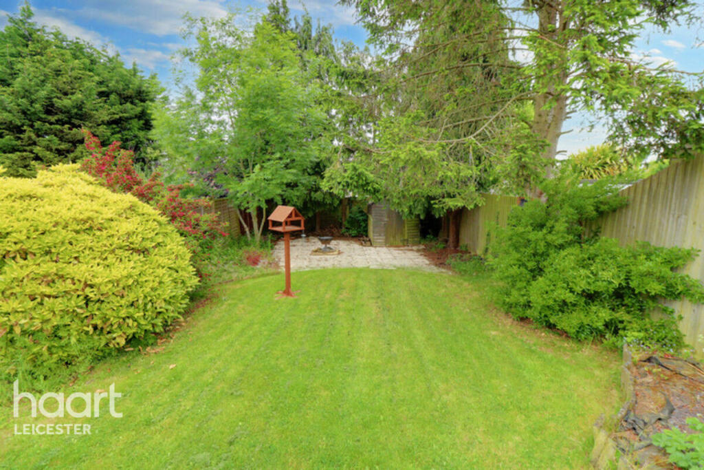
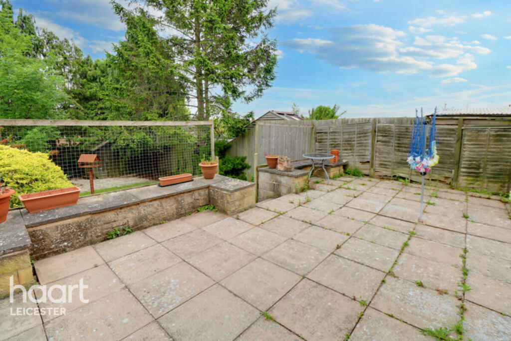
Birstall family home to enjoy
- Bedrooms
- 3
- Bathrooms
- 1
The heatmap indicates the level of crime in the area. The color of the heatmap indicates the crime severity and recency.
Metrics Year-on-Year
- Average area value
- 607,500.00 £Increased by 4.15 %
- Average area rental value
- 1,328.00 £/moDecreased by 13.15 %
- Est rental Yield
- 2.62 %Decreased by 16.83 %
- Crime Rate
- 7.00 %Unchanged by 0.00 %
from 583,319.00 £
from 1,529.00 £/mo
from 3.15 %
from 7.00 %
Agent Activity
haart created the listing.
Nearby Schools
| Name | Type | Ofsted | Distance |
|---|---|---|---|
| Hallam Fields, Birstall | Free Schools | 0.49 KM | |
| Highcliffe Primary School And Community Centre | Academy Converter | Good | 0.50 KM |
| The Cedars Academy | Academy Converter | Good | 1.49 KM |
| Alp Leicester | Other Independent Special School | Good | 1.49 KM |
| Glebelands Primary School | Community School | Good | 1.81 KM |
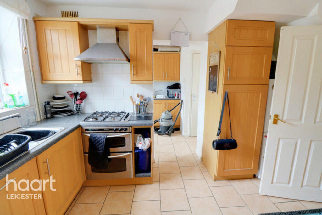
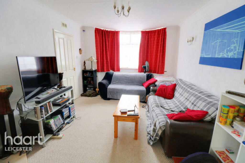
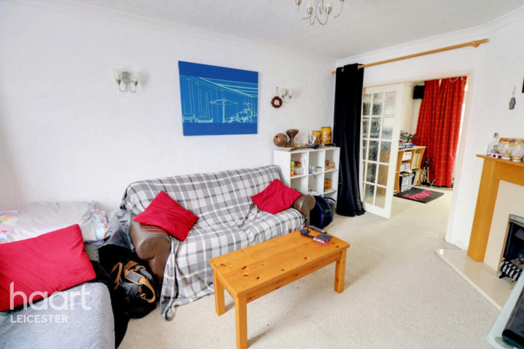
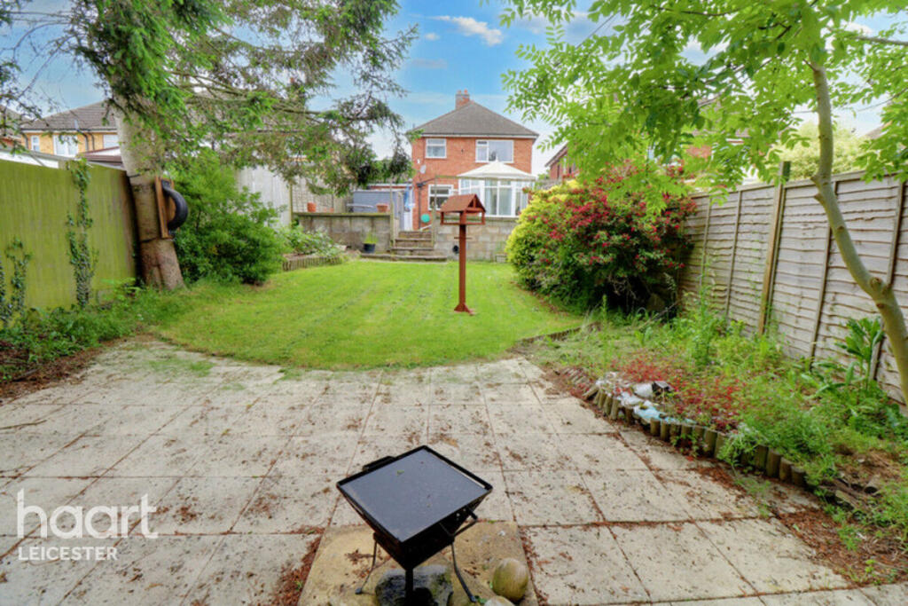
Images

Nearby Streets
| Name | Average Price | Average Sqft | Distance |
|---|---|---|---|
| Cliffwood Avenue Extension | £ 0 | 0 | 0.00 KM |
| The Drive | £ 0 | 0 | 0.00 KM |
| Tempest Road | £ 0 | 0 | 0.00 KM |
| Butler Lane | £ 0 | 0 | 0.00 KM |
| Broadway | £ 0 | 0 | 0.00 KM |
Nearby Transport
| Name | NLC | TLC | Distance |
|---|---|---|---|
| Syston | 1900 | SYS | 5.82 KM |
| Sileby | 1902 | SIL | 5.91 KM |
| Leicester | 1947 | LEI | 5.95 KM |
| Barrow-Upon-Soar | 1903 | BWS | 7.35 KM |
Nearby Listings
| Address | Price | Type | Score | Distance |
|---|---|---|---|---|
| Moorgate Avenue, Leicester | £ 1,200 | RENT | Unknown | 0.00 KM |
| Moorgate Avenue, Birstall, LEICESTER | £ 1,200 | RENT | Unknown | 0.14 KM |
| Mansfield Close, Birstall, LE4 3NW | £ 1,100 | RENT | Unknown | 0.21 KM |
| Westgate Avenue, Birstall, Leicester, LE4 3JZ | £ 1,350 | RENT | Unknown | 0.28 KM |
| Barngate Close, Birstall, Leicester | £ 1,380 | RENT | Unknown | 0.32 KM |
Nearby Properties
| Address | Price | Distance |
|---|---|---|
| 113 Harrowgate Drive | £ 195,000 | 0.08 KM |
| 117 Harrowgate Drive | £ 230,000 | 0.08 KM |
| 115 Harrowgate Drive | £ 175,000 | 0.08 KM |
| 141 Harrowgate Drive | £ 219,950 | 0.08 KM |
| 143 Harrowgate Drive | £ 215,000 | 0.08 KM |