HA
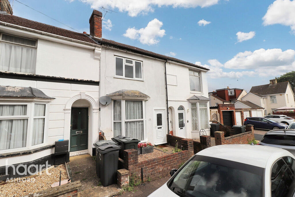
Pemberton Road, ASHFORD
By haart
£ 1,400
haart says ..
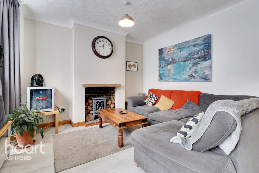
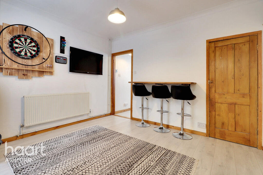
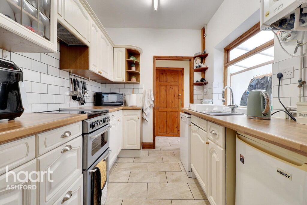
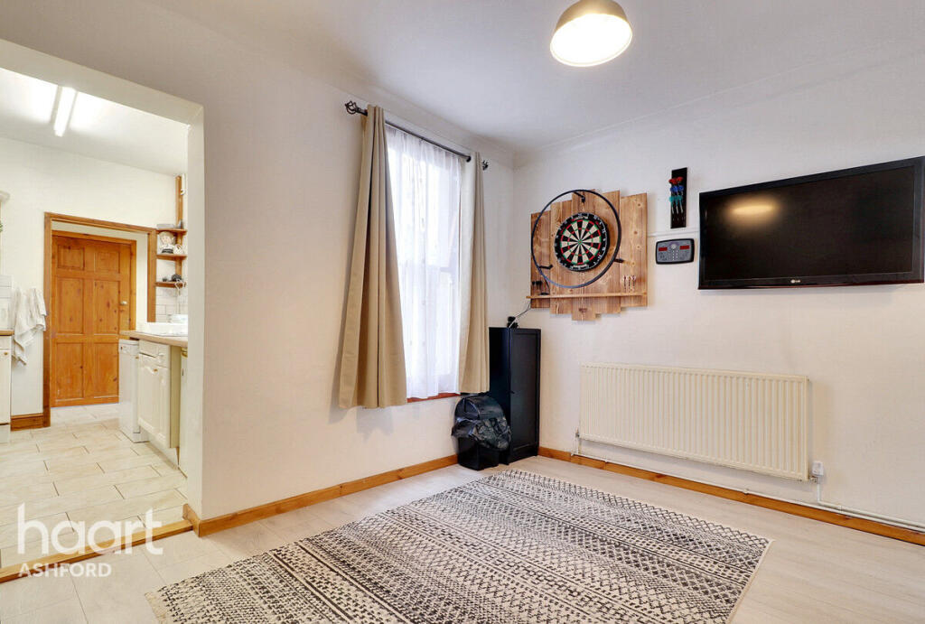
Spacious 3-Bedroom Terraced Home Close To Train Station and Town Centre
- Bedrooms
- 3
- Bathrooms
- 1
The heatmap indicates the level of crime in the area. The color of the heatmap indicates the crime severity and recency.
Metrics Year-on-Year
- Average area value
- 257,097.00 £Decreased by 8.25 %
- Average area rental value
- 956.00 £/moIncreased by 1.92 %
- Est rental Yield
- 4.46 %Increased by 10.95 %
- Crime Rate
- 13.00 %Unchanged by 0.00 %
from 280,201.00 £
from 938.00 £/mo
from 4.02 %
from 13.00 %
Agent Activity
haart created the listing.
Nearby Schools
| Name | Type | Ofsted | Distance |
|---|---|---|---|
| Ashford School | Other Independent School | 0.51 KM | |
| The North School | Academy Converter | 0.54 KM | |
| Cornfields School | Other Independent Special School | Good | 0.70 KM |
| The Norton Knatchbull School | Academy Converter | Good | 0.90 KM |
| Waterside Children'S Centre | Children's Centre | 1.42 KM |
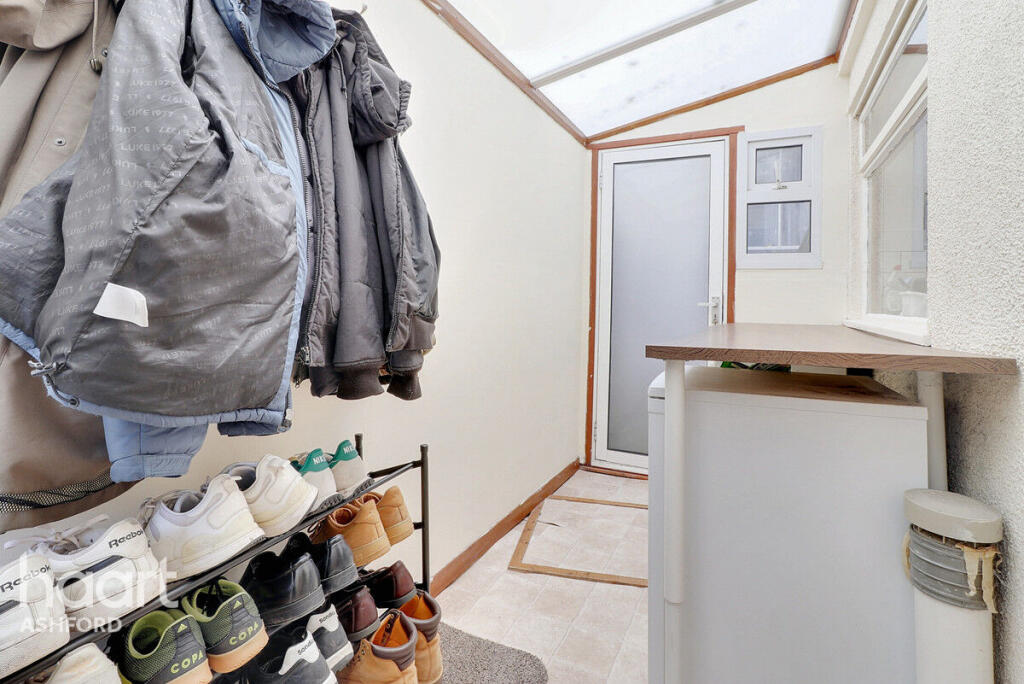
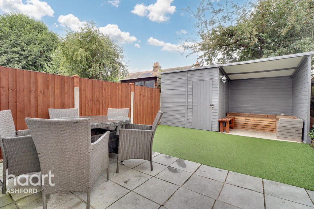
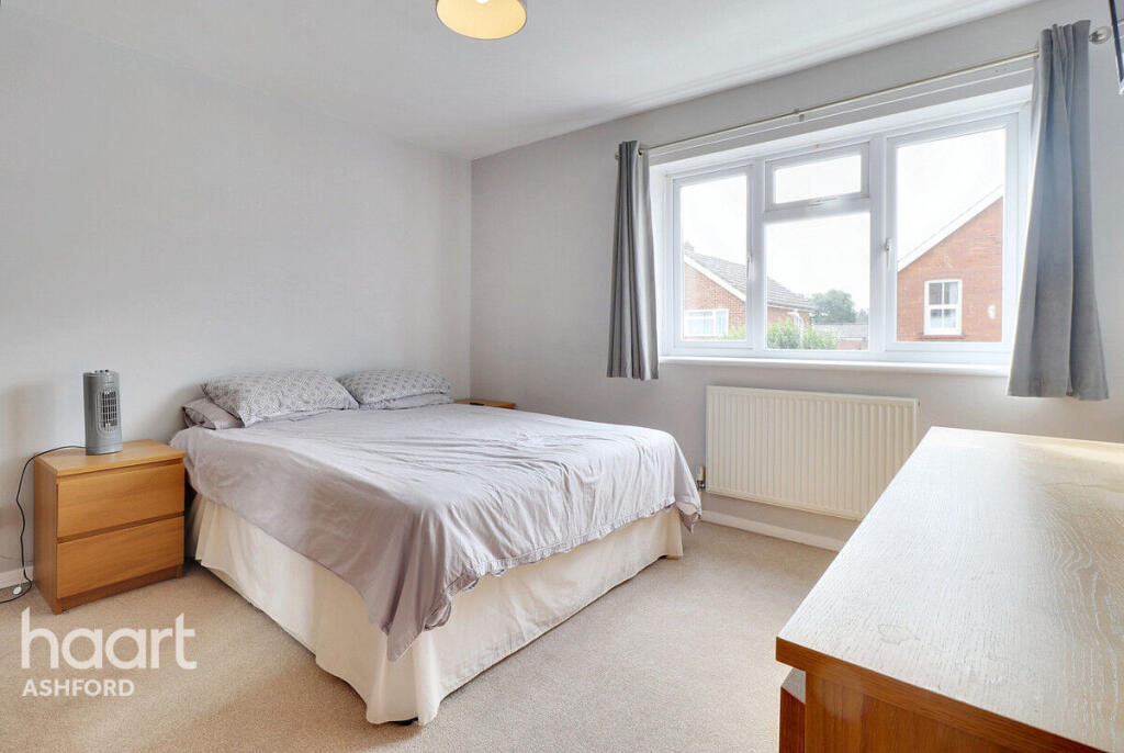
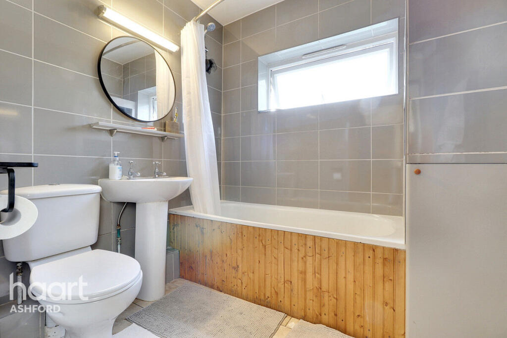
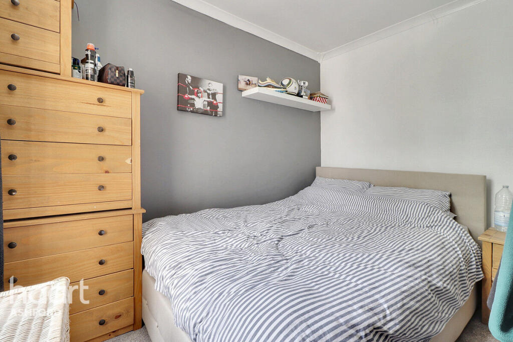
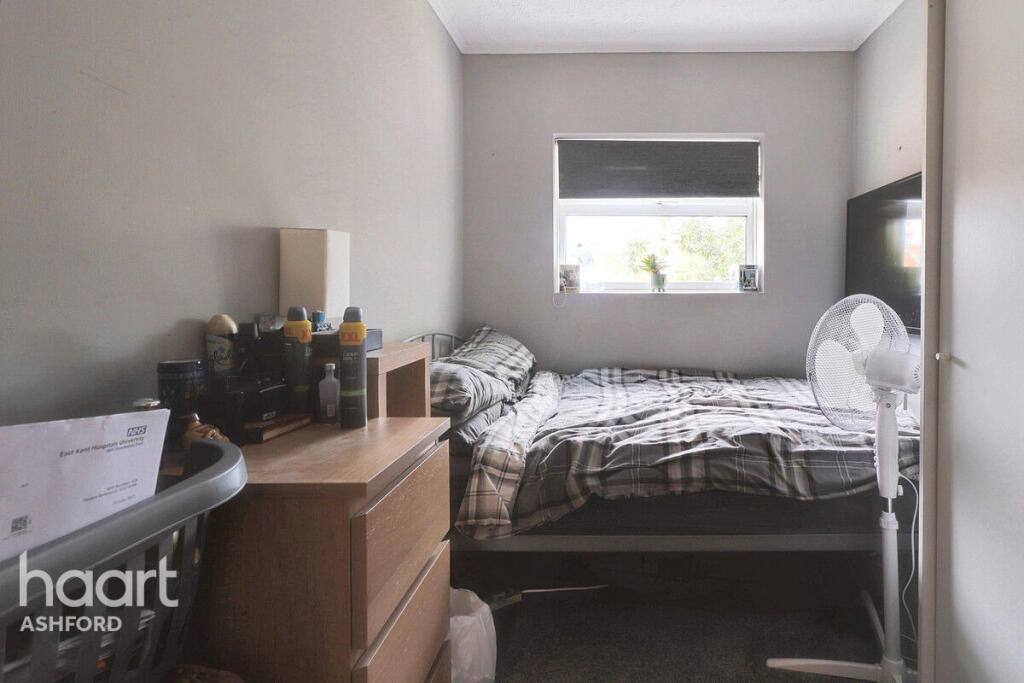
Images
Nearby Streets
| Name | Average Price | Average Sqft | Distance |
|---|---|---|---|
| Mill Court | £ 0 | 0 | 0.00 KM |
| Tannery Lane | £ 0 | 0 | 0.00 KM |
| Woodlea | £ 0 | 0 | 0.00 KM |
| Newtown Road | £ 0 | 0 | 0.00 KM |
| M20 | £ 0 | 0 | 0.00 KM |
Nearby Transport
| Name | NLC | TLC | Distance |
|---|---|---|---|
| Ashford International | 5004 | AFK | 0.82 KM |
| Wye | 5031 | WYE | 6.65 KM |
| Ham Street | 5037 | HMT | 9.34 KM |
Nearby Listings
| Address | Price | Type | Score | Distance |
|---|---|---|---|---|
| Pemberton Road, ASHFORD | £ 1,400 | RENT | Unknown | 0.00 KM |
| Pemberton Road, Ashford, TN24 | £ 1,300 | RENT | Unknown | 0.01 KM |
| Dering Road, Ashford | £ 900 | RENT | Unknown | 0.04 KM |
| Croft Road, Ashford | £ 1,150 | RENT | Unknown | 0.09 KM |
| Dering Road,Ashford,TN24 | £ 850 | RENT | Unknown | 0.18 KM |
Nearby Properties
| Address | Price | Distance |
|---|---|---|
| 13 Pemberton Road | £ 245,000 | 0.02 KM |
| 8 Pemberton Road | £ 135,000 | 0.02 KM |
| 19 Pemberton Road | £ 49,500 | 0.02 KM |
| 9 Pemberton Road | £ 237,000 | 0.02 KM |
| Pemberton Villa | £ 377,000 | 0.02 KM |