
HO
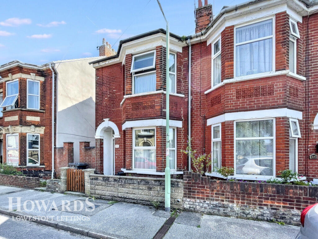
Beresford Road, LOWESTOFT
By Howards Lettings
£ 950
Howards Lettings says ..
Hop to it, this 3 bedroom home wont hang around
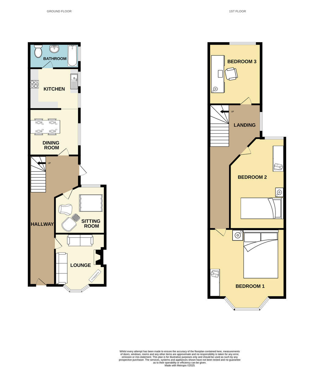
- Bedrooms
- 3
- Bathrooms
- 1
The heatmap indicates the level of crime in the area. The color of the heatmap indicates the crime severity and recency.
Metrics Year-on-Year
- Average area value
- 160,000.00 £Decreased by 7.61 %
- Average area rental value
- 777.00 £/moDecreased by 4.31 %
- Est rental Yield
- 5.83 %Increased by 3.55 %
- Crime Rate
- 6.00 %Unchanged by 0.00 %
from 173,185.00 £
from 812.00 £/mo
from 5.63 %
from 6.00 %
Agent Activity
Howards Lettings created the listing.
Nearby Schools
| Name | Type | Ofsted | Distance |
|---|---|---|---|
| Ark Children'S Centre | Children's Centre | 0.33 KM | |
| Learning Support, Northern Area Education Office | Miscellaneous | 0.45 KM | |
| St Margaret'S Primary Academy | Academy Sponsor Led | Requires improvement | 0.48 KM |
| East Coast College | Further Education | Good | 0.52 KM |
| Ness Point School | Other Independent Special School | 0.54 KM |
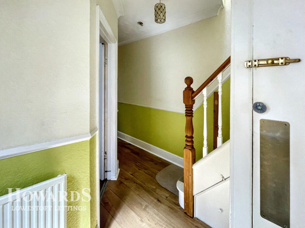
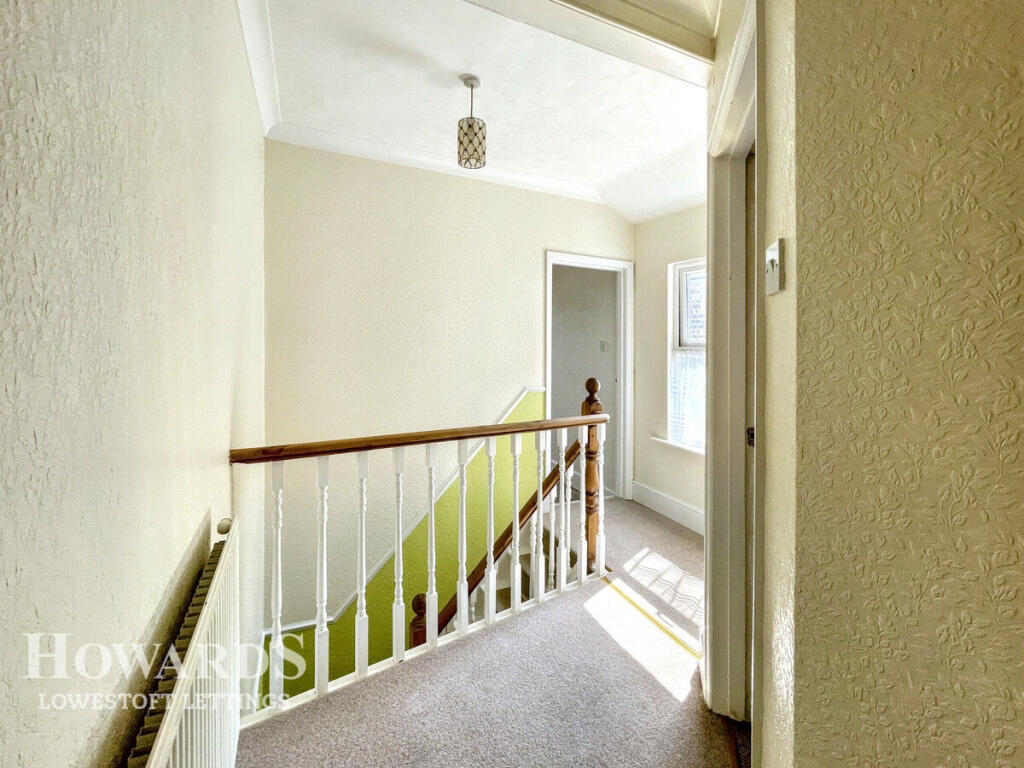
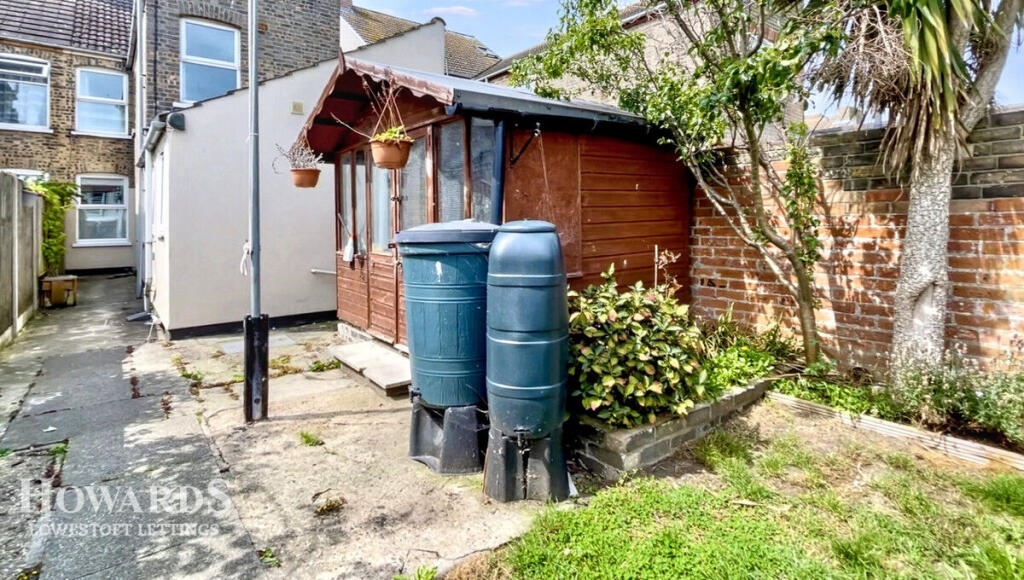
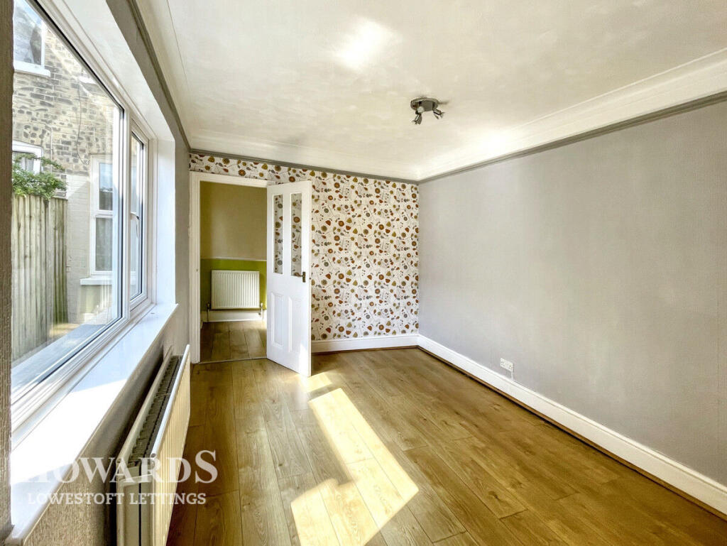
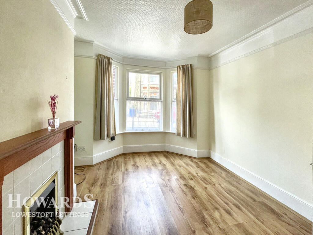
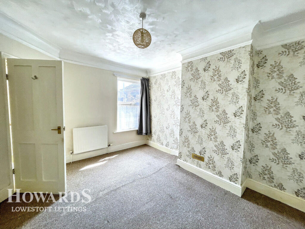
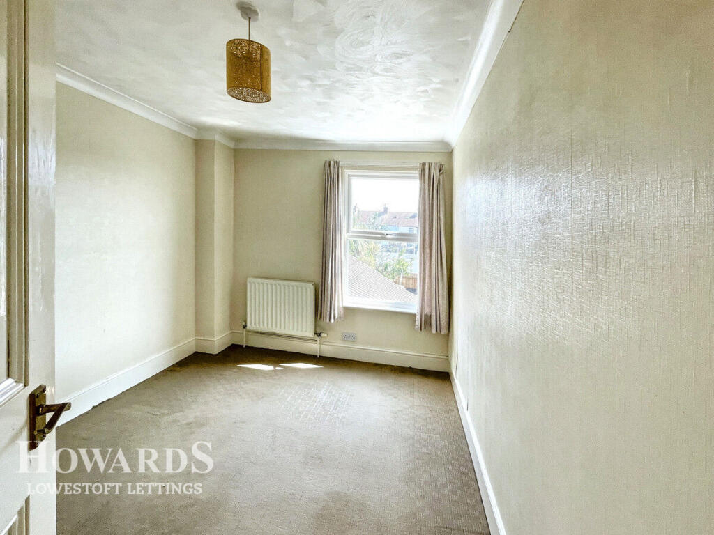
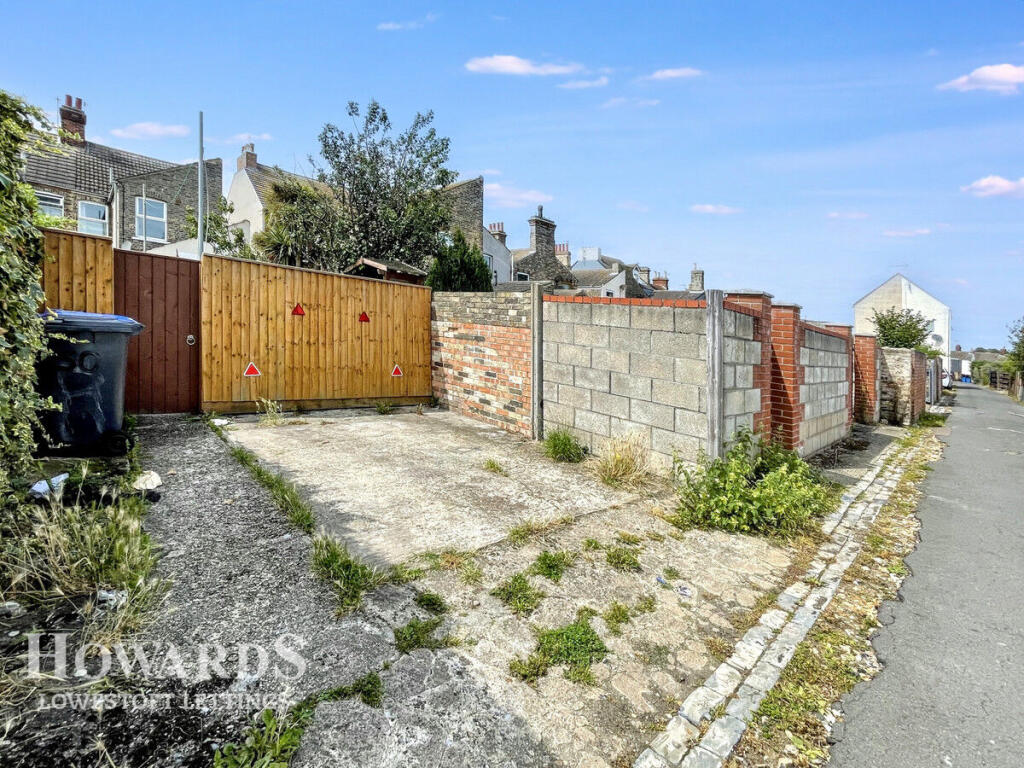
Images


Nearby Streets
| Name | Average Price | Average Sqft | Distance |
|---|---|---|---|
| Camp Road | £ 140,000 | 0 | 0.00 KM |
| Godfrey's Court | £ 0 | 0 | 0.00 KM |
| Marina | £ 0 | 0 | 0.00 KM |
| Bon Marche | £ 0 | 0 | 0.00 KM |
| Station Square | £ 0 | 0 | 0.00 KM |
Nearby Transport
| Name | NLC | TLC | Distance |
|---|---|---|---|
| Lowestoft | 7268 | LWT | 0.79 KM |
| Oulton Broad North | 7273 | OUN | 3.62 KM |
| Oulton Broad South | 7274 | OUS | 4.67 KM |
Nearby Listings
| Address | Price | Type | Score | Distance |
|---|---|---|---|---|
| Beresford Road, LOWESTOFT | £ 950 | RENT | Unknown | 0.00 KM |
| Beresford Road, Lowestoft, Suffolk, NR32 | £ 900 | RENT | Unknown | 0.02 KM |
| Flat 1, 54 Beresford Road | £ 675 | RENT | Unknown | 0.02 KM |
| Raglan Street, Lowestoft, NR32 | £ 750 | RENT | Unknown | 0.16 KM |
| Raglan Street, NR32 | £ 825 | RENT | Unknown | 0.17 KM |
Nearby Properties
| Address | Price | Distance |
|---|---|---|
| 104 Beresford Road | £ 35,000 | 0.02 KM |
| 74 Beresford Road | £ 115,000 | 0.02 KM |
| 90 Beresford Road | £ 182,500 | 0.02 KM |
| 94 Beresford Road | £ 108,000 | 0.02 KM |
| 34 Beresford Road | £ 38,000 | 0.02 KM |