MA
Simpson Way, IP29
By Map Letting & Property Management
£ 1,395
Map Letting & Property Management says ..
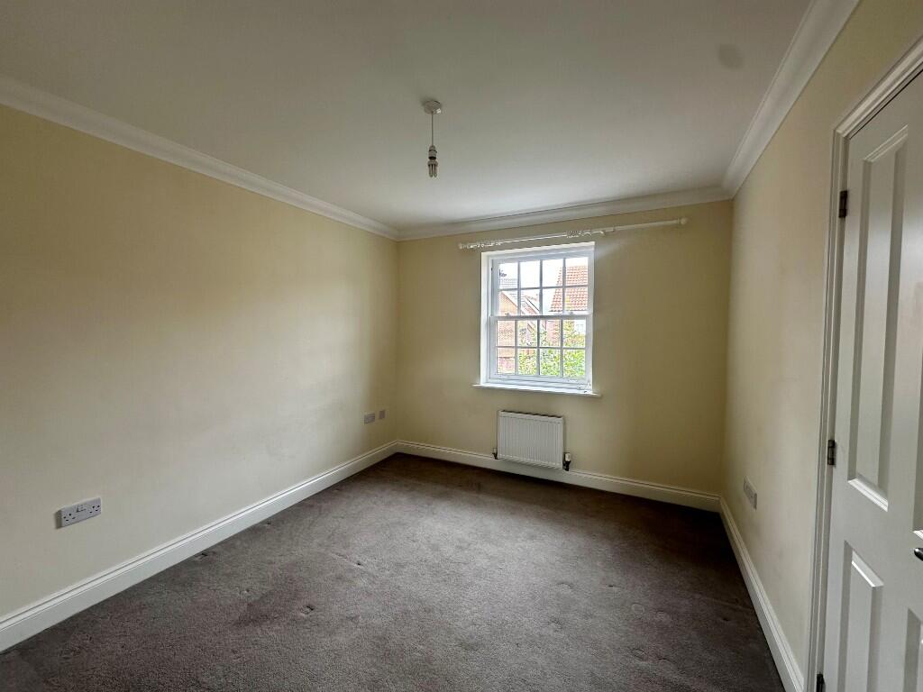
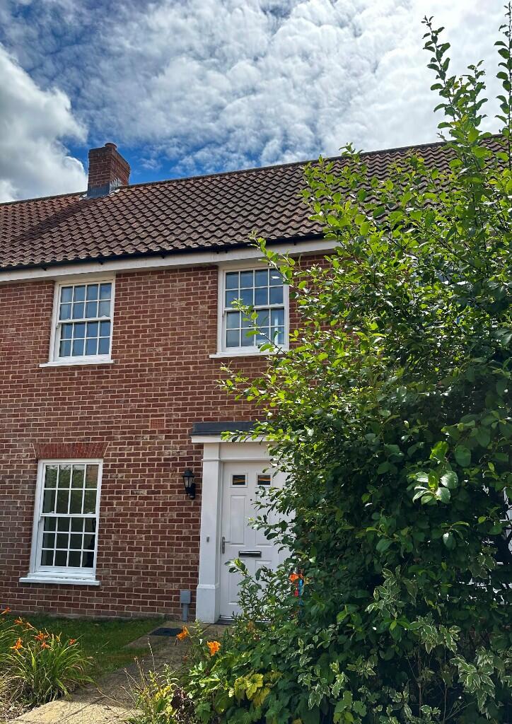
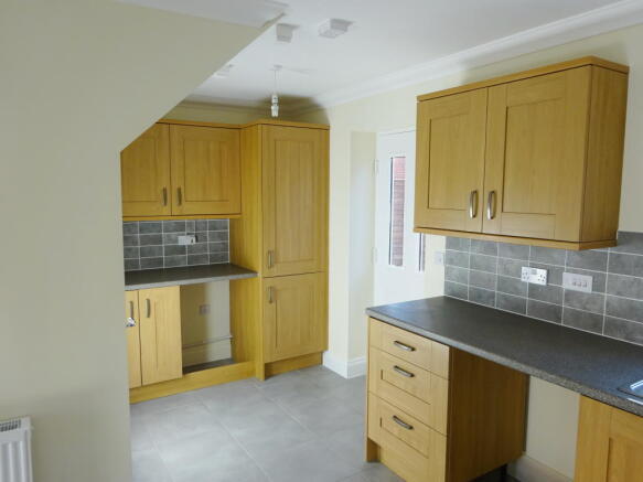
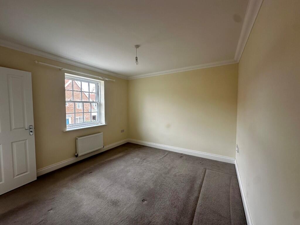
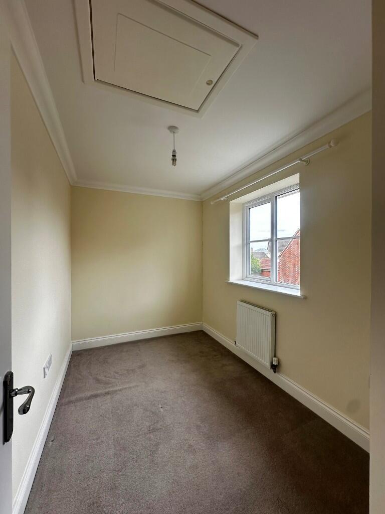
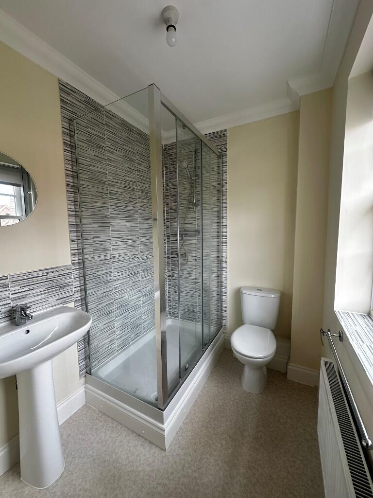
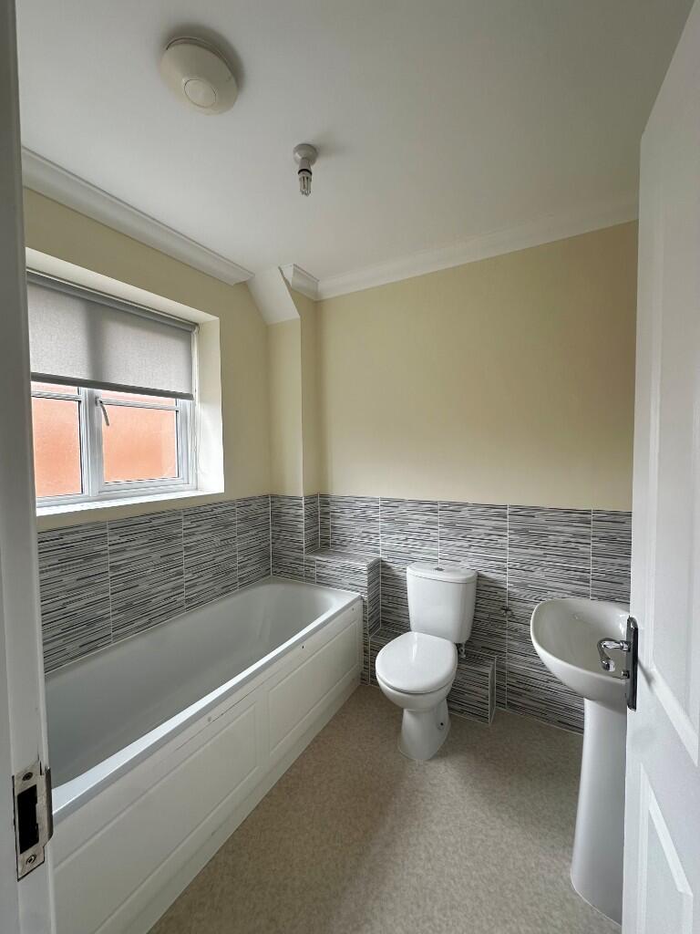
MAP Lettings are delighted to present this three bedroom terraced property located in the well served village of Barrow.
- Bedrooms
- 3
- Bathrooms
- 2
The heatmap indicates the level of crime in the area. The color of the heatmap indicates the crime severity and recency.
Metrics Year-on-Year
- Average area value
- 223,188.00 £Decreased by 13.36 %
- Average area rental value
- 1,283.00 £/moIncreased by 2.15 %
- Est rental Yield
- 6.90 %Increased by 17.95 %
- Crime Rate
- 60.00 %Unchanged by 0.00 %
from 257,594.00 £
from 1,256.00 £/mo
from 5.85 %
from 60.00 %
Agent Activity
Map Letting & Property Management created the listing.
Nearby Schools
| Name | Type | Ofsted | Distance |
|---|---|---|---|
| Barrow Church Of England Voluntary Controlled Primary School | Voluntary Controlled School | Outstanding | 1.21 KM |
| Risby Church Of England Voluntary Controlled Primary School | Voluntary Controlled School | Outstanding | 6.30 KM |
| Brookes Uk | Other Independent School | 6.41 KM | |
| Wickhambrook Primary Academy | Academy Converter | 8.63 KM | |
| Ickworth Park Primary School | Community School | Good | 9.93 KM |
Images

Nearby Streets
| Name | Average Price | Average Sqft | Distance |
|---|---|---|---|
| Lylles Field | £ 0 | 0 | 0.00 KM |
| The Green | £ 635,000 | 0 | 0.00 KM |
| Orchard Way | £ 300,000 | 0 | 0.00 KM |
Nearby Listings
| Address | Price | Type | Score | Distance |
|---|---|---|---|---|
| Simpson Way, IP29 | £ 1,450 | RENT | Unknown | 0.00 KM |
| Simpson Way, Barrow | £ 1,450 | RENT | Unknown | 0.00 KM |
| Simpson Way, IP29 | £ 1,395 | RENT | Unknown | 0.00 KM |
| Barrow Hill, Barrow, BURY ST. EDMUNDS | £ 2,850 | RENT | Unknown | 0.15 KM |
| Johnson Road, Barrow, Bury St. Edmunds | £ 1,100 | RENT | Unknown | 0.17 KM |
Nearby Properties
| Address | Price | Distance |
|---|---|---|
| 9 Simpson Way | £ 294,995 | 0.00 KM |
| 5 Simpson Way | £ 228,950 | 0.00 KM |
| 12 Simpson Way | £ 295,000 | 0.00 KM |
| 65 Simpson Way | £ 499,995 | 0.00 KM |
| 2 Simpson Way | £ 499,995 | 0.00 KM |