RE
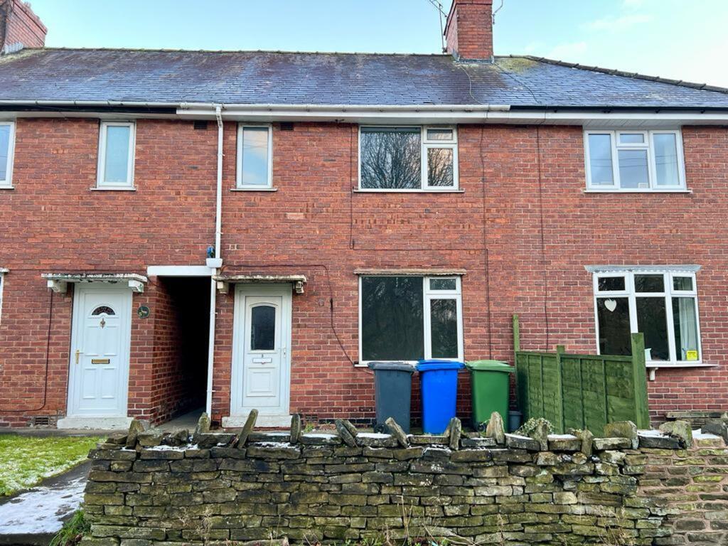
Hasland Road, Chesterfield, S41
By Redbrik
£ 715
Redbrik says ..
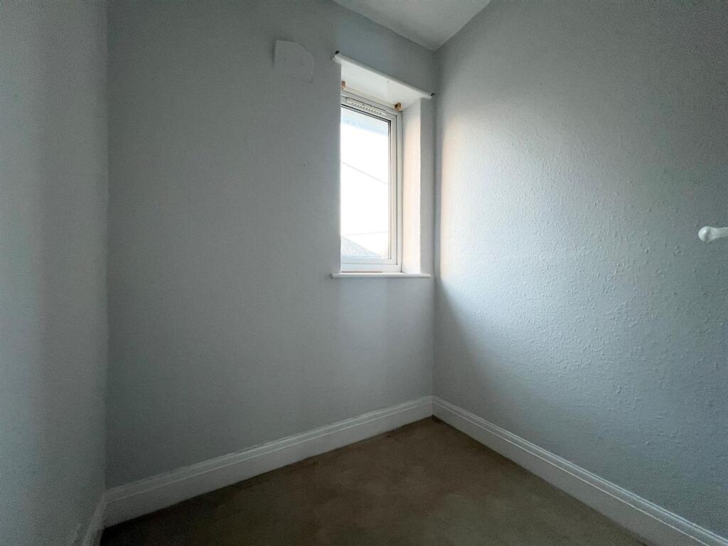
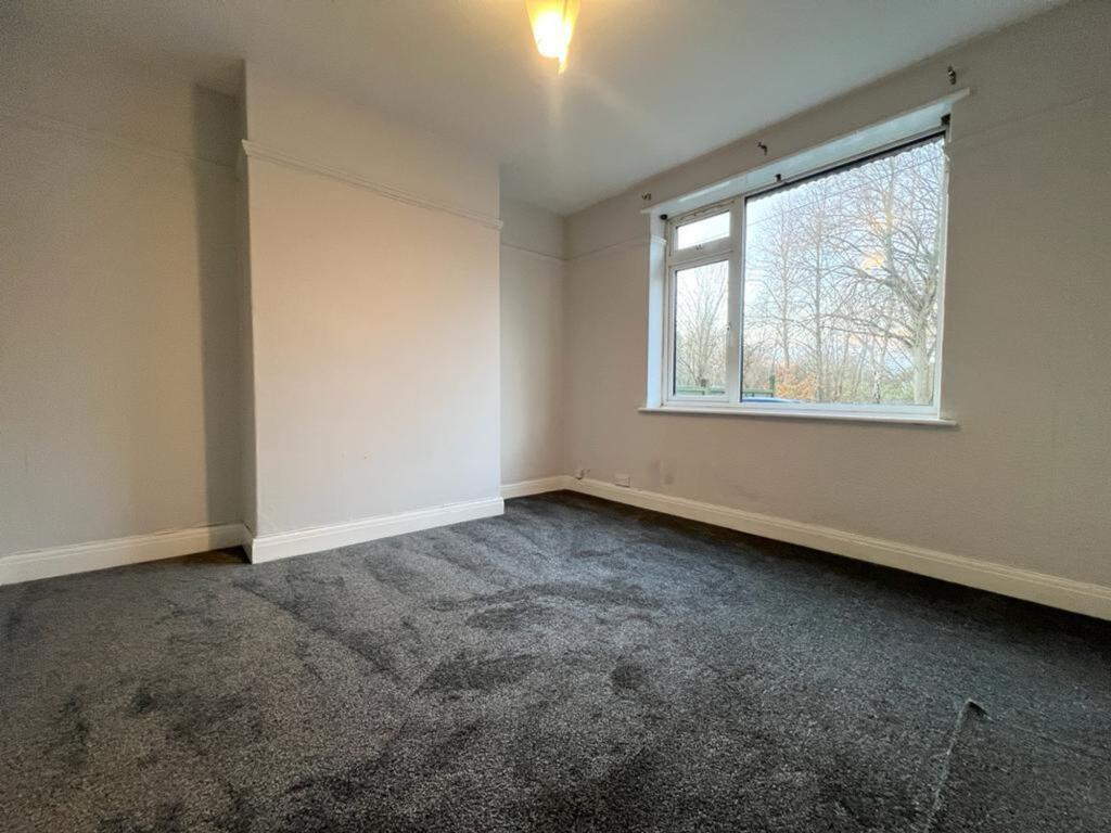
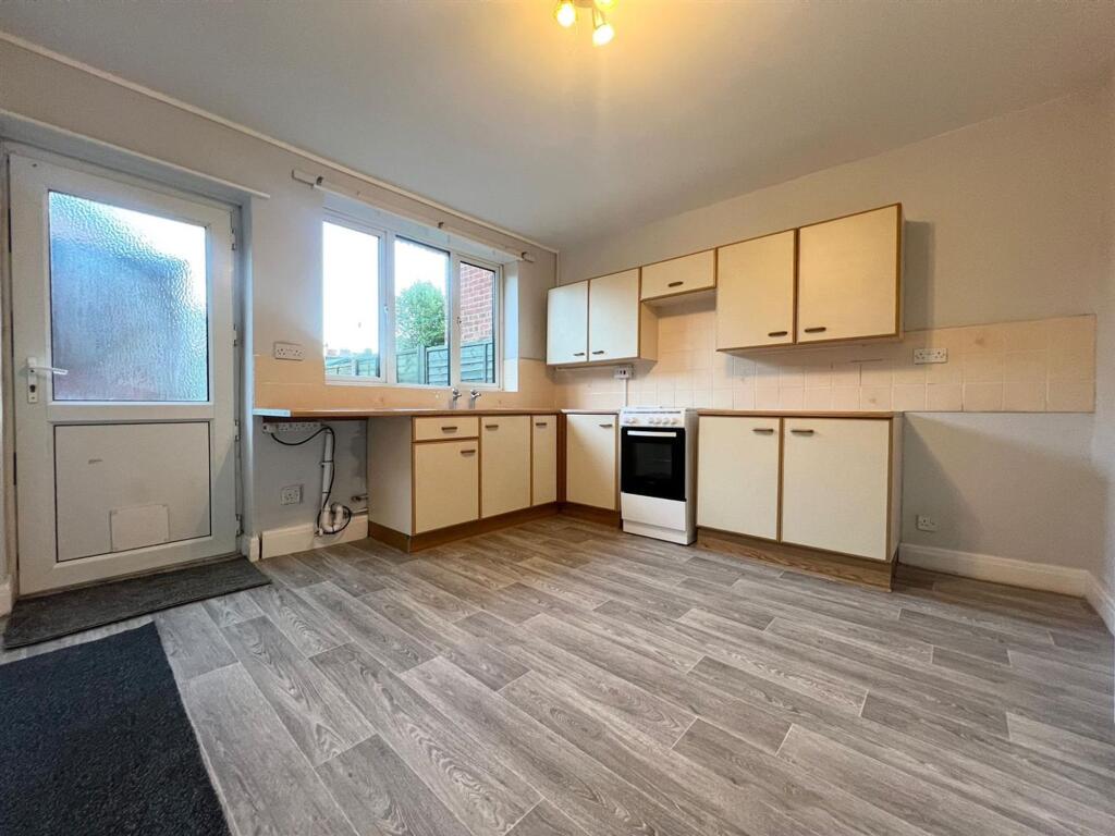
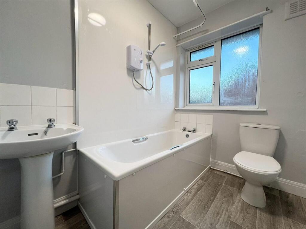
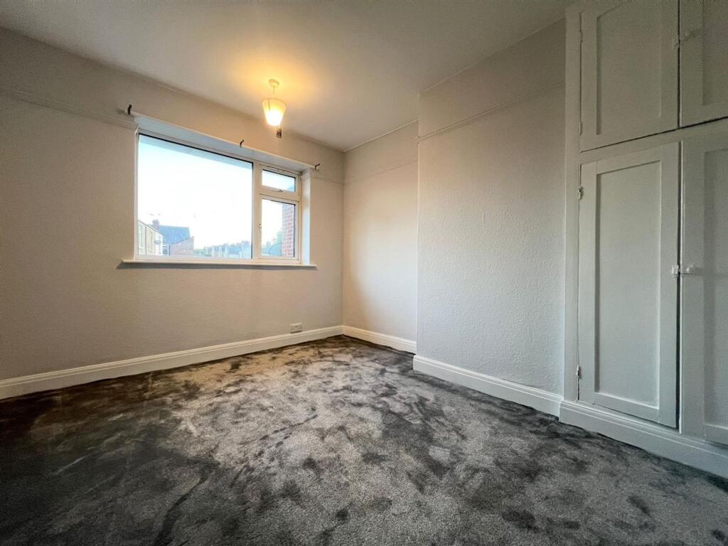
2-bed mid-terraced house with fitted kitchen, dining area, lounge. 2 double bedrooms, family bathroom.
- Bedrooms
- 2
- Bathrooms
- 1
The heatmap indicates the level of crime in the area. The color of the heatmap indicates the crime severity and recency.
Metrics Year-on-Year
- Average area value
- 487,285.00 £Decreased by 7.65 %
- Average area rental value
- 1,920.00 £/moIncreased by 13.27 %
- Est rental Yield
- 4.73 %Increased by 22.86 %
- Crime Rate
- 4.00 %Unchanged by 0.00 %
from 527,656.00 £
from 1,695.00 £/mo
from 3.85 %
from 4.00 %
Agent Activity
Redbrik created the listing.
Nearby Schools
| Name | Type | Ofsted | Distance |
|---|---|---|---|
| Hasland Infant School | Community School | Good | 1.03 KM |
| Spire Junior School | Community School | Good | 1.14 KM |
| Hady Primary School | Community School | Good | 1.36 KM |
| Spire Nursery And Infant School | Community School | Good | 1.39 KM |
| St Peter & St Paul School | Other Independent School | 1.40 KM |
Images

Nearby Streets
| Name | Average Price | Average Sqft | Distance |
|---|---|---|---|
| Park Drive | £ 0 | 0 | 0.00 KM |
| Penmore Lane | £ 0 | 0 | 0.00 KM |
| St. Giles Close | £ 350,000 | 0 | 0.00 KM |
| Dixon's Road | £ 0 | 0 | 0.00 KM |
| Bridge Street | £ 0 | 0 | 0.00 KM |
Nearby Transport
| Name | NLC | TLC | Distance |
|---|---|---|---|
| Chesterfield | 6615 | CHD | 1.03 KM |
| Dronfield | 6616 | DRO | 9.77 KM |
Nearby Listings
| Address | Price | Type | Score | Distance |
|---|---|---|---|---|
| Hasland Road, Chesterfield, S41 | £ 715 | RENT | Unknown | 0.00 KM |
| Whitehouses, Hasland | £ 715 | RENT | Unknown | 0.01 KM |
| Rose Cottages, Hasland Road, Chesterfield | £ 750 | RENT | Unknown | 0.03 KM |
| Rose Cottages, Hasland Road, Chesterfield | £ 750 | RENT | Unknown | 0.03 KM |
| 29B Mill House, Spital Lane, Spital, Chesterfield S41 0EX | £ 615 | RENT | Unknown | 0.26 KM |
Nearby Properties
| Address | Price | Distance |
|---|---|---|
| 24 Hasland Road | £ 160,000 | 0.04 KM |
| 18 Hasland Road | £ 195,000 | 0.05 KM |
| 18a Hasland Road | £ 45,000 | 0.05 KM |
| 26 Hasland Road | £ 165,000 | 0.05 KM |
| 12 Warner Street | £ 76,000 | 0.09 KM |