
Burnage Lane, Burnage, Manchester, M19
By Julian Wadden
£ 1,450
Julian Wadden says ..
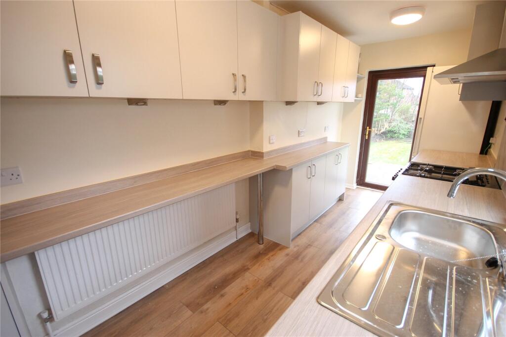
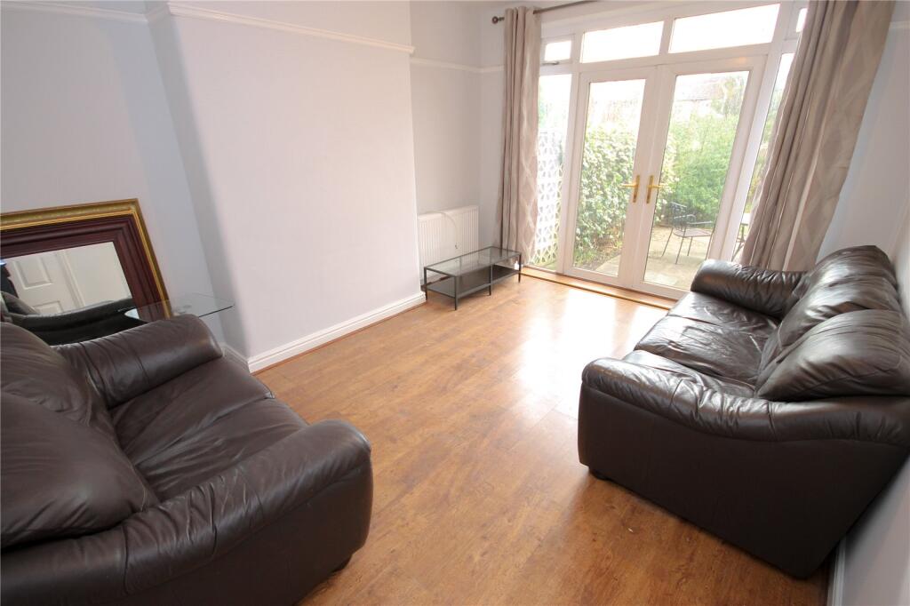
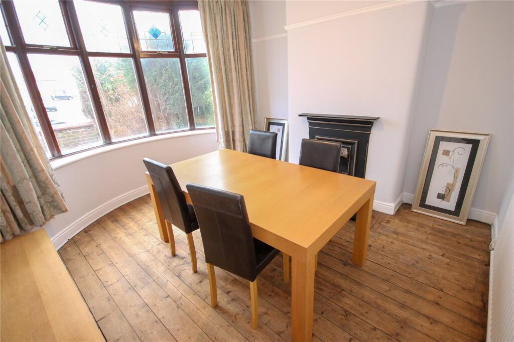
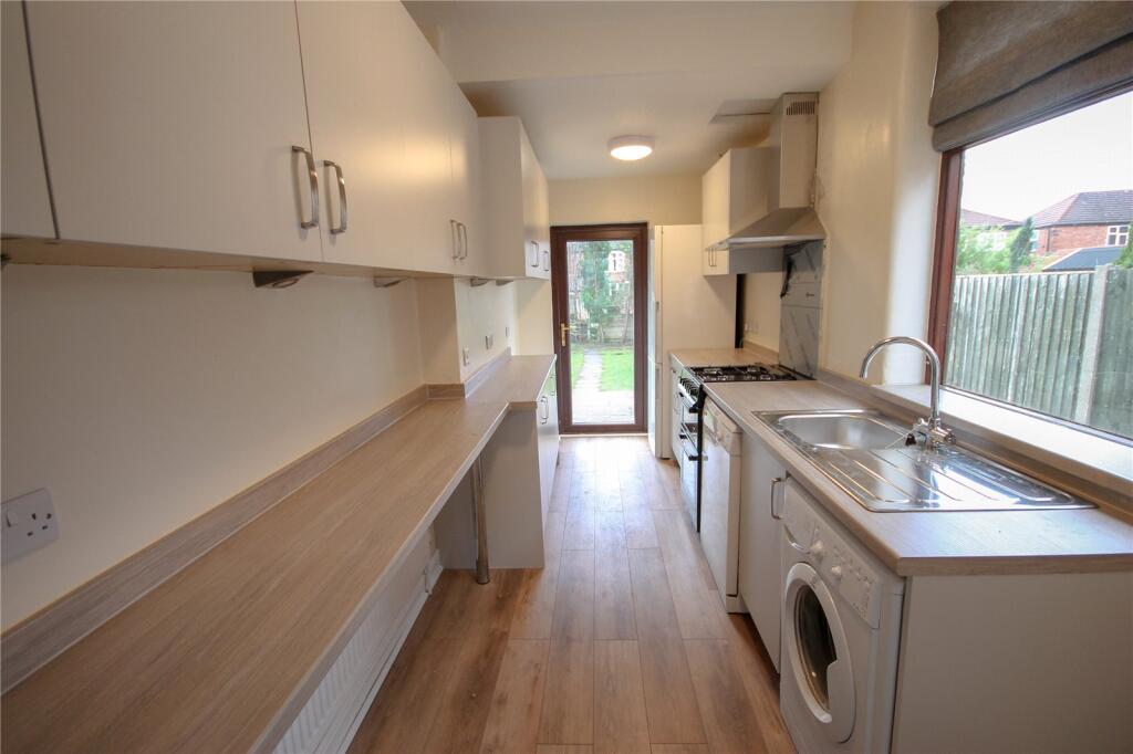
Available end of August 2025 Located in the heart of Burnage, this well-presented 3-bedroom semi-detached home offers a perfect blend of comfort, space, and convenience—ideal for families, In brief the property offers accommodation over two floors, Driveway to the fron...
- Bedrooms
- 3
- Bathrooms
- 1
The heatmap indicates the level of crime in the area. The color of the heatmap indicates the crime severity and recency.
Metrics Year-on-Year
- Average area value
- 320,833.00 £Increased by 5.35 %
- Average area rental value
- 1,380.00 £/moDecreased by 15.49 %
- Est rental Yield
- 5.16 %Decreased by 19.75 %
- Crime Rate
- 0.00 %
from 304,545.00 £
from 1,633.00 £/mo
from 6.43 %
from 0.00 %
Agent Activity
Julian Wadden created the listing.
Nearby Schools
| Name | Type | Ofsted | Distance |
|---|---|---|---|
| The Barlow Rc High School And Specialist Science College | Voluntary Aided School | Good | 0.72 KM |
| St Catherine'S Rc Primary School | Voluntary Aided School | Outstanding | 0.96 KM |
| Stella Maris School | Other Independent School | Good | 0.98 KM |
| St John'S Church Of England Primary School | Voluntary Controlled School | Good | 1.11 KM |
| Parrs Wood High School | Academy Converter | Good | 1.32 KM |
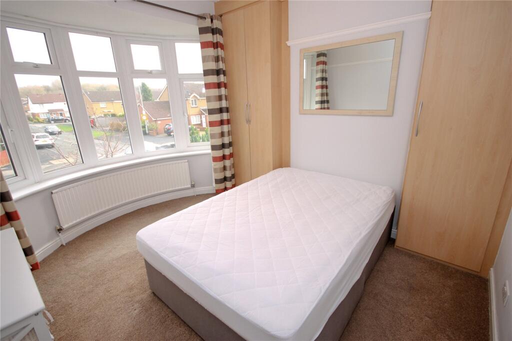
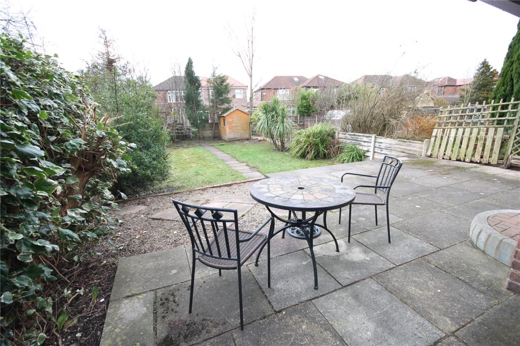
Images


Nearby Streets
| Name | Average Price | Average Sqft | Distance |
|---|---|---|---|
| Albury Drive | £ 0 | 0 | 0.00 KM |
| Swinly Crescent | £ 0 | 0 | 0.00 KM |
| Parrs Wood View | £ 0 | 0 | 0.00 KM |
| Adria Avenue | £ 250,000 | 0 | 0.00 KM |
| Mere Avenue | £ 0 | 0 | 0.00 KM |
Nearby Transport
| Name | NLC | TLC | Distance |
|---|---|---|---|
| Burnage | 2945 | BNA | 0.43 KM |
| East Didsbury | 2949 | EDY | 1.28 KM |
| Mauldeth Road | 2867 | MAU | 1.79 KM |
| Gatley | 2953 | GTY | 3.35 KM |
| Levenshulme | 2862 | LVM | 3.77 KM |
Nearby Listings
| Address | Price | Type | Score | Distance |
|---|---|---|---|---|
| Burnage Lane, Burnage, Manchester, M19 | £ 1,450 | RENT | Unknown | 0.00 KM |
| Burnage Lane, Manchester, Greater Manchester, M19 | £ 1,200 | RENT | Unknown | 0.07 KM |
| Burnage Lane, Didsbury, Manchester, M19 | £ 1,600 | RENT | Unknown | 0.08 KM |
| Kingsway, Burnage, Manchester, M19 | £ 1,475 | RENT | Unknown | 0.20 KM |
| Kentstone Avenue, Stockport, SK4 | £ 1,150 | RENT | Unknown | 0.23 KM |
Nearby Properties
| Address | Price | Distance |
|---|---|---|
| 878 Burnage Lane | £ 326,750 | 0.07 KM |
| 842 Burnage Lane | £ 127,500 | 0.07 KM |
| 822 Burnage Lane | £ 73,500 | 0.07 KM |
| 872 Burnage Lane | £ 182,000 | 0.07 KM |
| 834 Burnage Lane | £ 128,500 | 0.07 KM |