
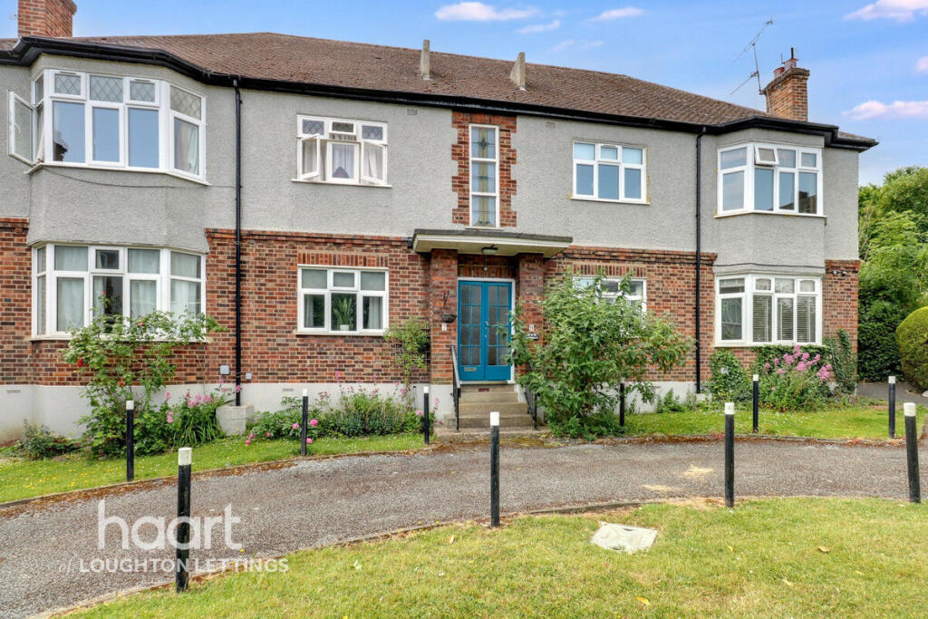
Palmerston Road, BUCKHURST HILL
By haart
£ 1,750
haart says ..
**NO DEPOSIT OPTION AVAILABLE**
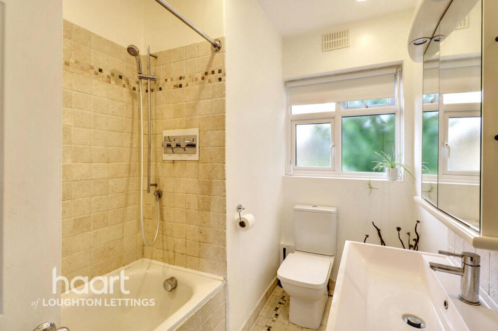
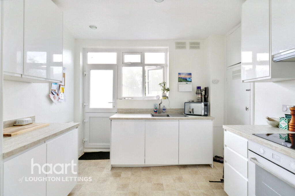
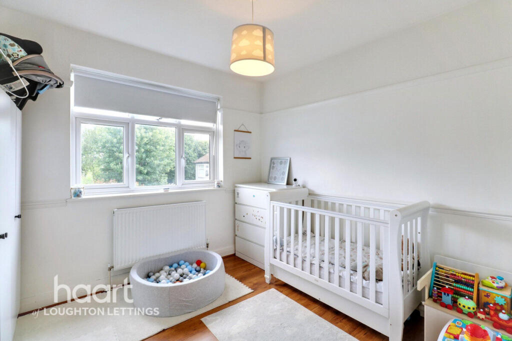
- Bedrooms
- 2
- Bathrooms
- 1
The heatmap indicates the level of crime in the area. The color of the heatmap indicates the crime severity and recency.
Metrics Year-on-Year
- Average area value
- 931,250.00 £Increased by 32.36 %
- Average area rental value
- 1,725.00 £/moDecreased by 11.45 %
- Est rental Yield
- 2.22 %Decreased by 33.13 %
- Crime Rate
- 9.00 %Unchanged by 0.00 %
from 703,572.00 £
from 1,948.00 £/mo
from 3.32 %
from 9.00 %
Agent Activity
haart created the listing.
Nearby Schools
| Name | Type | Ofsted | Distance |
|---|---|---|---|
| The Daiglen School | Other Independent School | 0.35 KM | |
| Loyola Preparatory School | Other Independent School | 0.50 KM | |
| Braeside School | Other Independent School | 0.74 KM | |
| St John'S Church Of England Voluntary Controlled Primary School, Buckhurst Hill | Academy Converter | 0.81 KM | |
| Buckhurst Hill Community Primary School | Academy Converter | 1.36 KM |
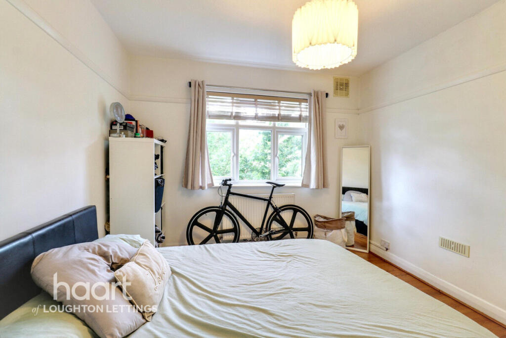
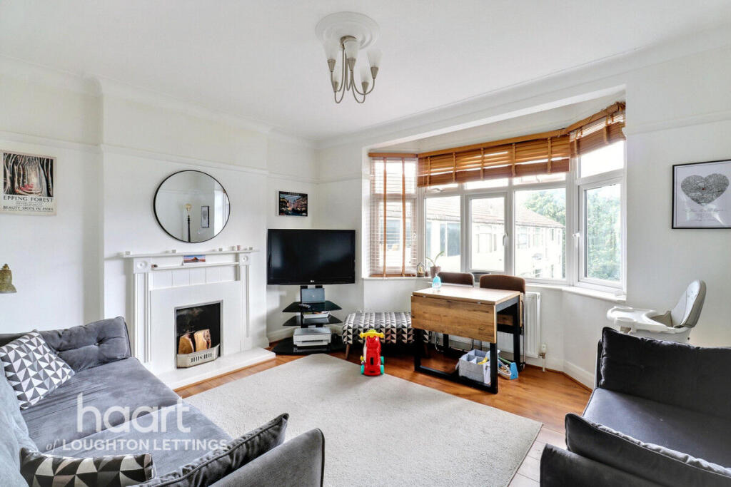
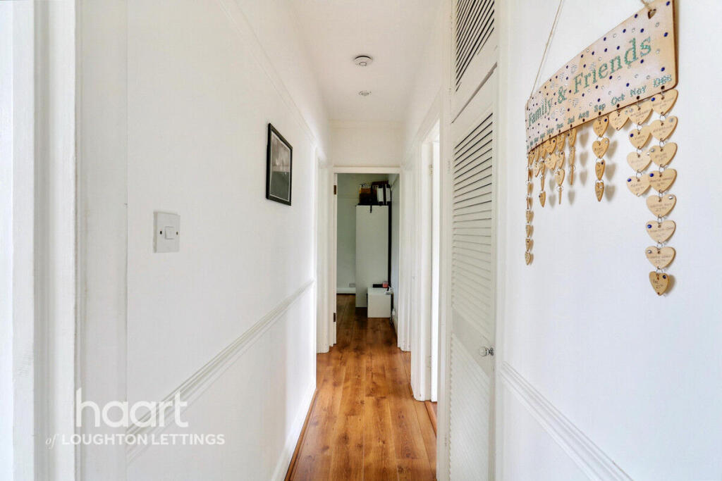
Images
Nearby Streets
| Name | Average Price | Average Sqft | Distance |
|---|---|---|---|
| Back Lane | £ 0 | 0 | 0.00 KM |
| St John's Court | £ 595,000 | 0 | 0.00 KM |
| Lower Queen's Road | £ 385,833 | 0 | 0.00 KM |
| Yew Close | £ 0 | 0 | 0.00 KM |
| Field Close | £ 0 | 0 | 0.00 KM |
Nearby Transport
| Name | NLC | TLC | Distance |
|---|---|---|---|
| Chingford | 6914 | CHI | 3.44 KM |
| Highams Park | 6919 | HIP | 4.94 KM |
| Wood Street | 6954 | WST | 6.51 KM |
| Leytonstone High Road | 7403 | LER | 7.87 KM |
| Ilford | 6881 | IFD | 8.20 KM |
Nearby Listings
| Address | Price | Type | Score | Distance |
|---|---|---|---|---|
| Palmerston Road, BUCKHURST HILL | £ 1,750 | RENT | Unknown | 0.00 KM |
| Buckhurst Hill, IG9 | £ 1,750 | RENT | Unknown | 0.02 KM |
| Palmerston Road, Buckhurst Hill, IG9 | £ 1,500 | RENT | Unknown | 0.06 KM |
| Palmerston Road, Buckhurst Hill, IG9 | £ 1,850 | RENT | Unknown | 0.07 KM |
| Palmerston Road, Buckhurst Hill, IG9 | £ 1,200 | RENT | Unknown | 0.07 KM |
Nearby Properties
| Address | Price | Distance |
|---|---|---|
| 9 Andrews Close | £ 600,000 | 0.08 KM |
| 10 Andrews Close | £ 587,500 | 0.08 KM |
| 4 Andrews Close | £ 575,000 | 0.08 KM |
| 8 Andrews Close | £ 449,000 | 0.08 KM |
| 75 Westbury Lane | £ 149,000 | 0.08 KM |