HA
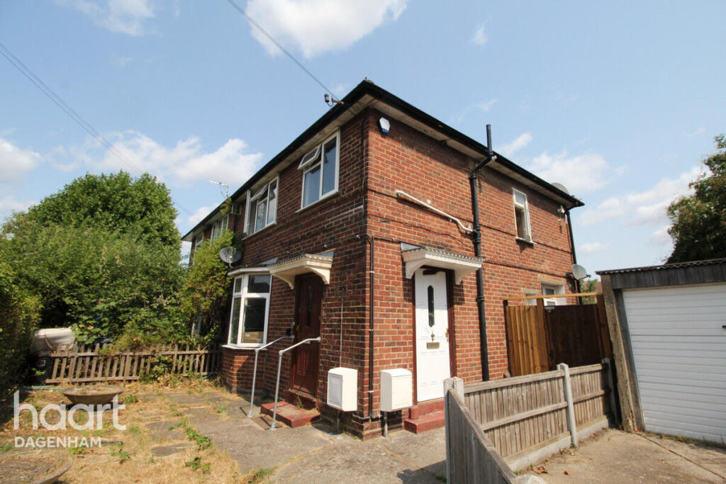
Oxlow Lane, Dagenham
By haart
£ 1,450
haart says ..
**NO DEPOSIT OPTION AVAILABLE**
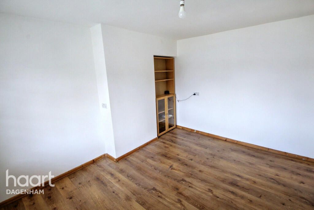
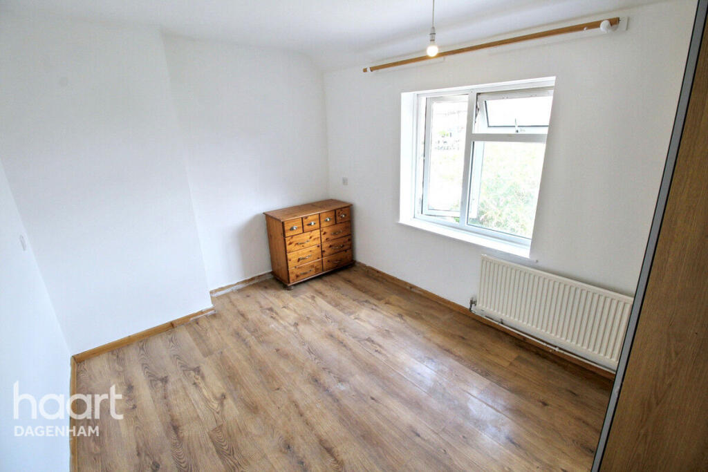
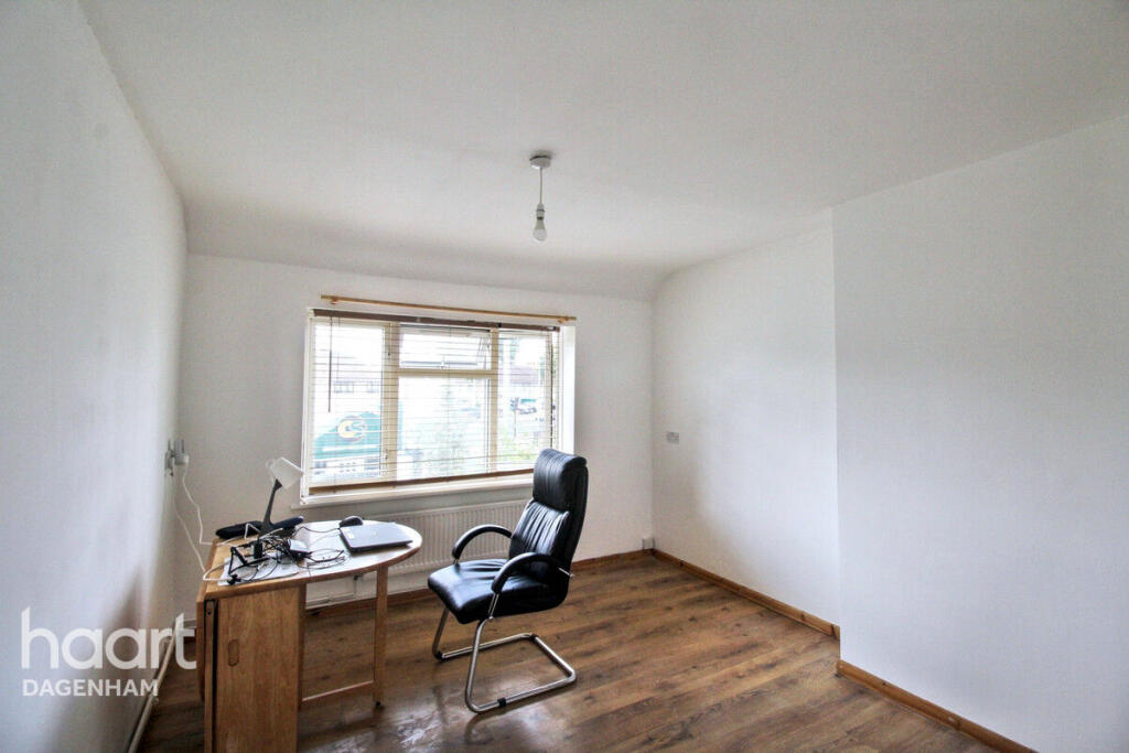
- Bedrooms
- 1
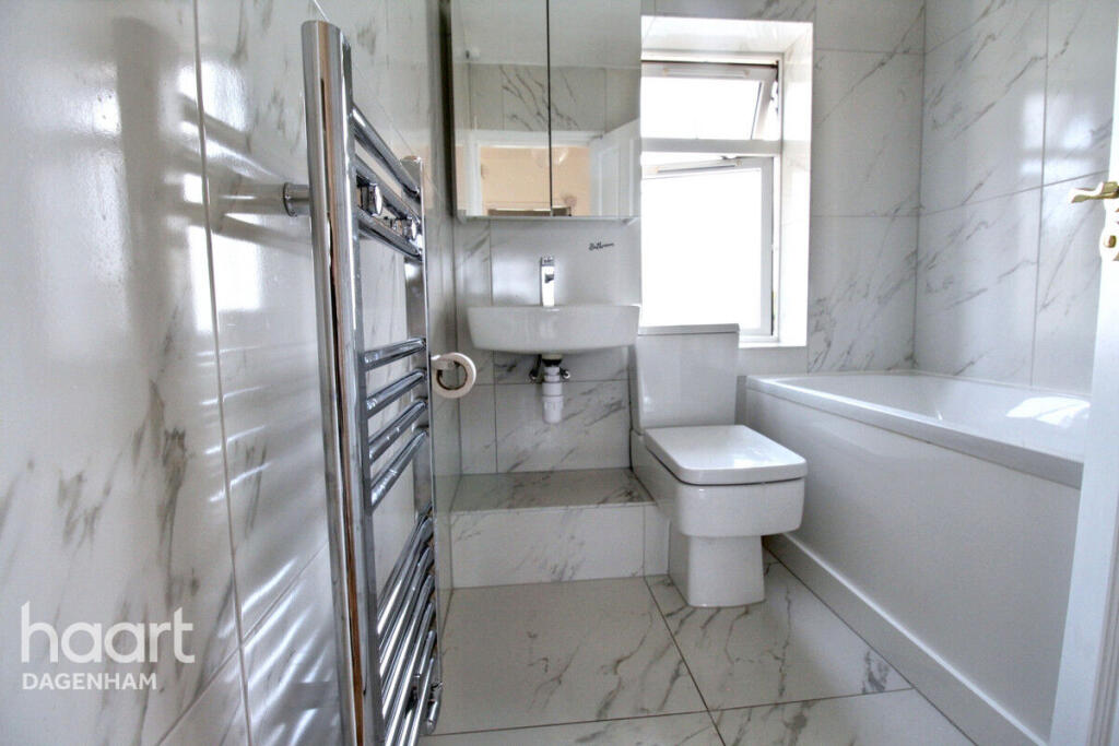
- Bathrooms
- 1
The heatmap indicates the level of crime in the area. The color of the heatmap indicates the crime severity and recency.
Metrics Year-on-Year
- Average area value
- 357,100.00 £Increased by 23.76 %
- Average area rental value
- 1,263.00 £/moIncreased by 26.30 %
- Est rental Yield
- 4.24 %Increased by 1.92 %
- Crime Rate
- 6.00 %Unchanged by 0.00 %
from 288,549.00 £
from 1,000.00 £/mo
from 4.16 %
from 6.00 %
Agent Activity
haart created the listing.
Nearby Schools
| Name | Type | Ofsted | Distance |
|---|---|---|---|
| Trinity School | Community Special School | Outstanding | 0.25 KM |
| Richard Alibon Primary School With Arp For Cognitive And Learning Difficulties : Sen Base | Community School | Good | 0.37 KM |
| Five Elms Primary School | Community School | Good | 0.69 KM |
| St Joseph'S Catholic Primary School | Academy Converter | 0.72 KM | |
| Hunters Hall Primary School | Community School | Good | 0.76 KM |
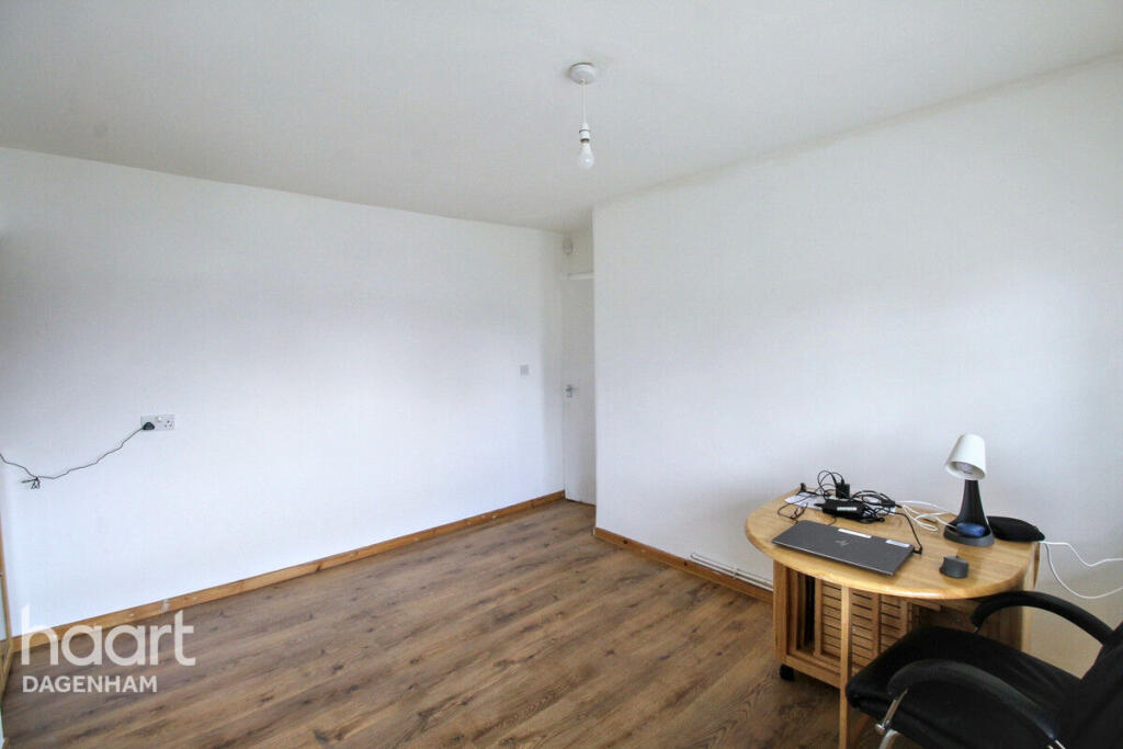
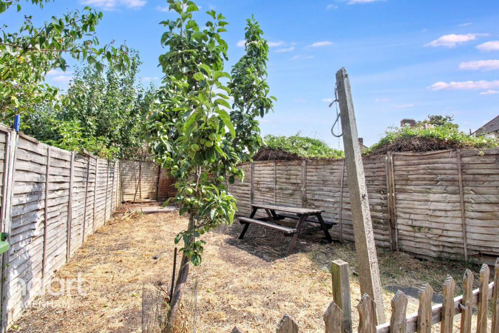
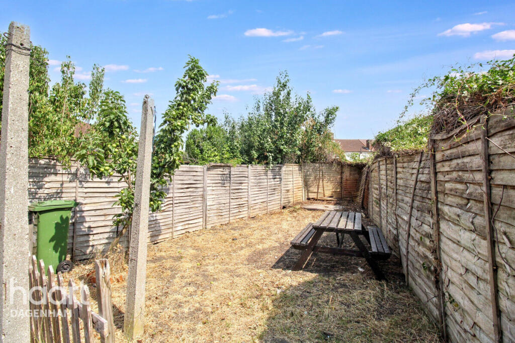
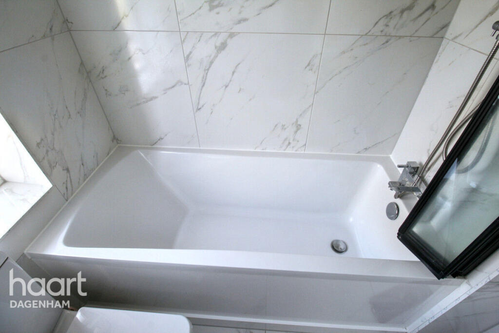
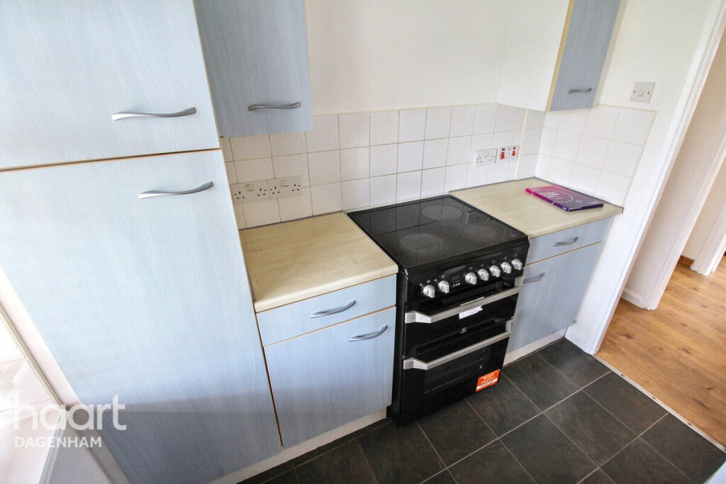
Images

Nearby Streets
| Name | Average Price | Average Sqft | Distance |
|---|---|---|---|
| Heathway | £ 460,000 | 0 | 0.00 KM |
| Osborne Road | £ 0 | 0 | 0.00 KM |
| Northfield Road | £ 0 | 0 | 0.00 KM |
| Berry Close | £ 0 | 0 | 0.00 KM |
| Jacobs Close | £ 0 | 0 | 0.00 KM |
Nearby Transport
| Name | NLC | TLC | Distance |
|---|---|---|---|
| Dagenham Dock | 7440 | DDK | 2.85 KM |
| Chadwell Heath | 6874 | CTH | 3.01 KM |
| Romford | 6886 | RMF | 4.48 KM |
| Goodmayes | 6878 | GMY | 4.65 KM |
| Rainham (Essex) | 7454 | RNM | 5.89 KM |
Nearby Listings
| Address | Price | Type | Score | Distance |
|---|---|---|---|---|
| Oxlow Lane, Dagenham | £ 1,450 | RENT | Unknown | 0.00 KM |
| Hunters Square Dagenham | £ 1,450 | RENT | Unknown | 0.17 KM |
| Oxlow Lane, Dagenham, London, RM10 | £ 1,299 | RENT | Unknown | 0.19 KM |
| MARSTON AVENUE, Dagenham, RM10 | £ 1,050 | RENT | Unknown | 0.20 KM |
| Oxlow Lane, Dagenham, RM10 | £ 1,300 | RENT | Unknown | 0.28 KM |
Nearby Properties
| Address | Price | Distance |
|---|---|---|
| 155 Oxlow Lane | £ 129,995 | 0.05 KM |
| 185 Oxlow Lane | £ 160,000 | 0.05 KM |
| 187 Oxlow Lane | £ 550,000 | 0.05 KM |
| 183 Oxlow Lane | £ 330,000 | 0.07 KM |
| 173 Oxlow Lane | £ 350,000 | 0.07 KM |