HA
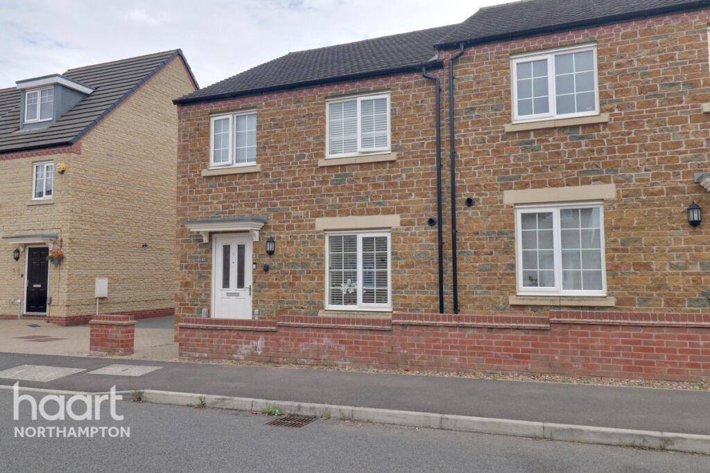
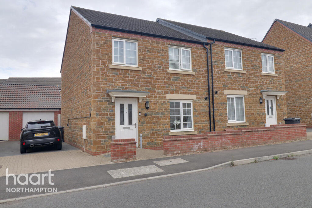
Mayfly Road, Northampton
By haart
£ 1,700
haart says ..
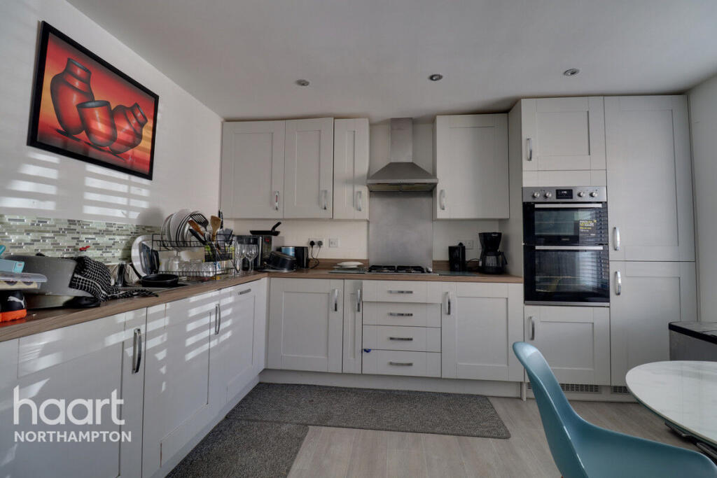
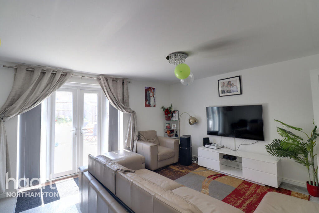
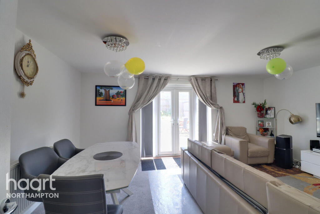
Executive Family Home
- Bedrooms
- 4
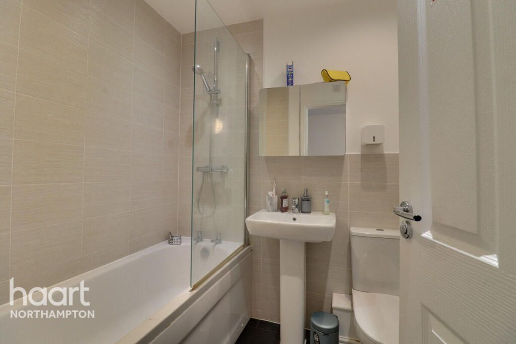
- Bathrooms
- 1
The heatmap indicates the level of crime in the area. The color of the heatmap indicates the crime severity and recency.
Metrics Year-on-Year
- Average area value
- 305,313.00 £Increased by 8.33 %
- Average area rental value
- 1,049.00 £/moDecreased by 12.95 %
- Est rental Yield
- 4.12 %Decreased by 19.69 %
- Crime Rate
- 35.00 %Unchanged by 0.00 %
from 281,832.00 £
from 1,205.00 £/mo
from 5.13 %
from 35.00 %
Agent Activity
haart created the listing.
Nearby Schools
| Name | Type | Ofsted | Distance |
|---|---|---|---|
| Pineham Barns Primary School | Free Schools | 0.12 KM | |
| Upton Meadows Children'S Centre | Children's Centre | 1.45 KM | |
| Quinton House School | Other Independent School | 1.49 KM | |
| Upton Meadows Primary School | Academy Converter | 1.62 KM | |
| St Luke'S Church Of England Primary School | Academy Converter | Good | 2.07 KM |
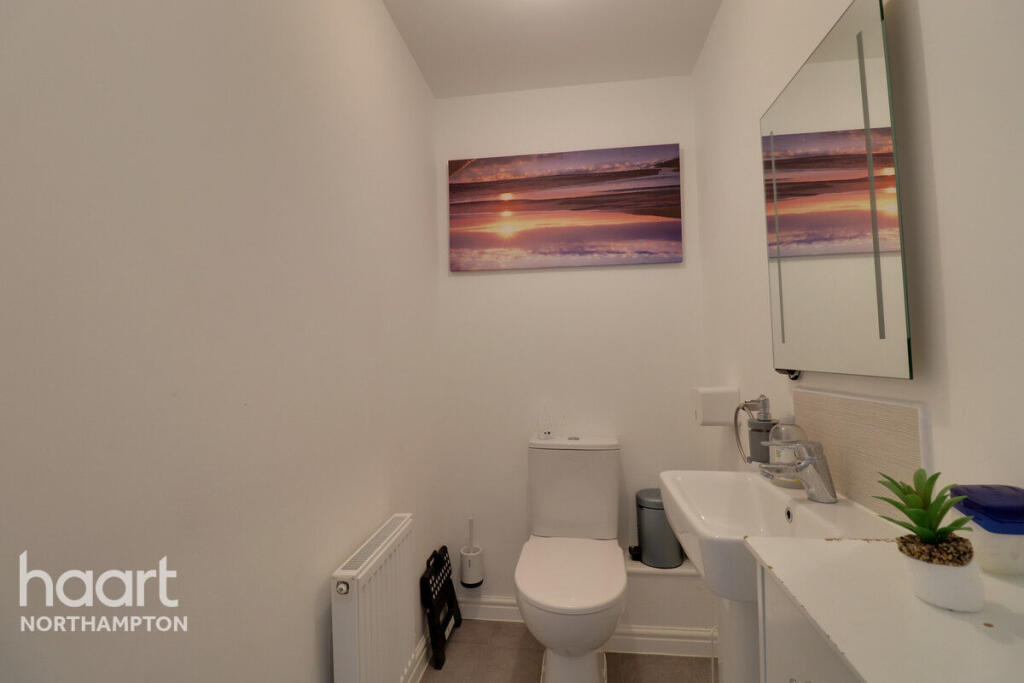
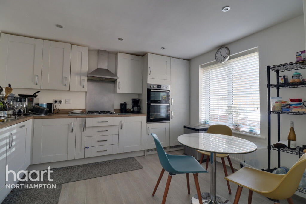
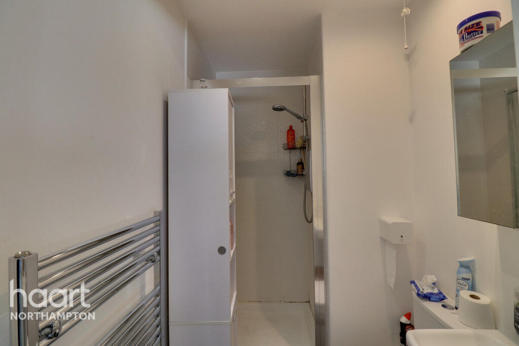
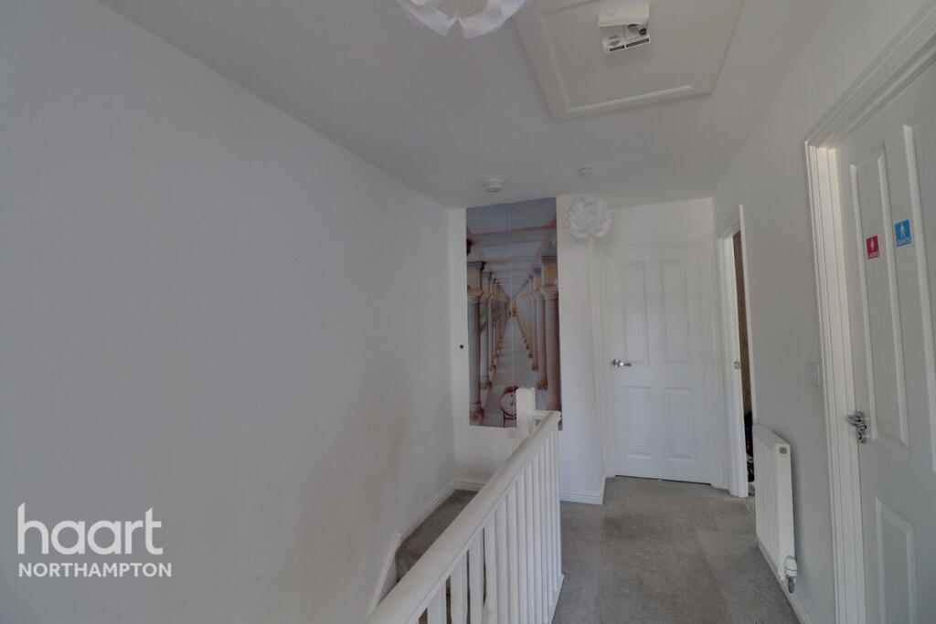
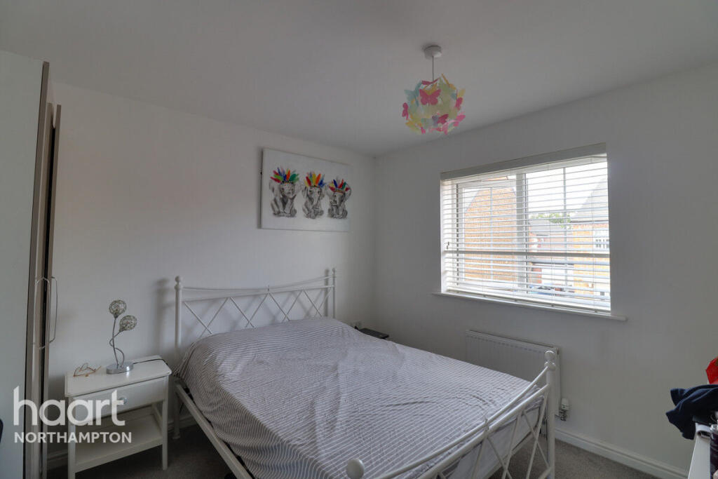
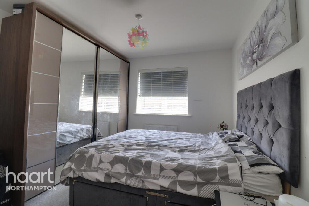
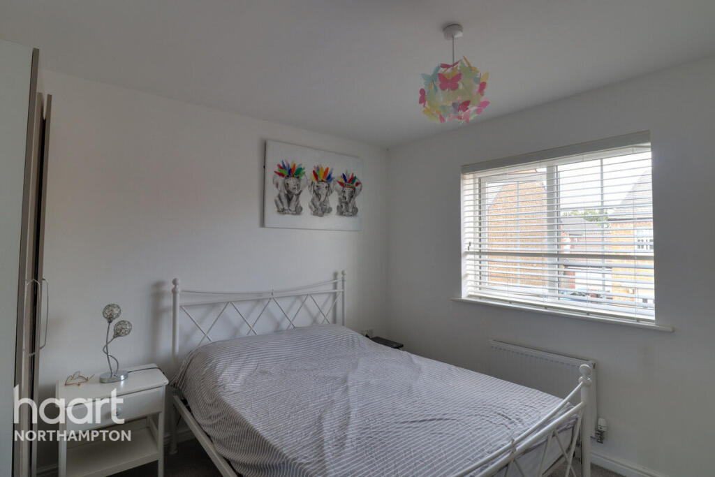
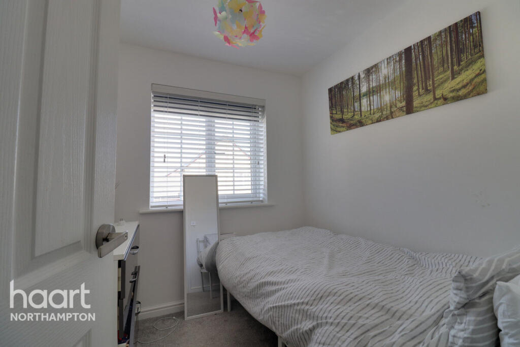
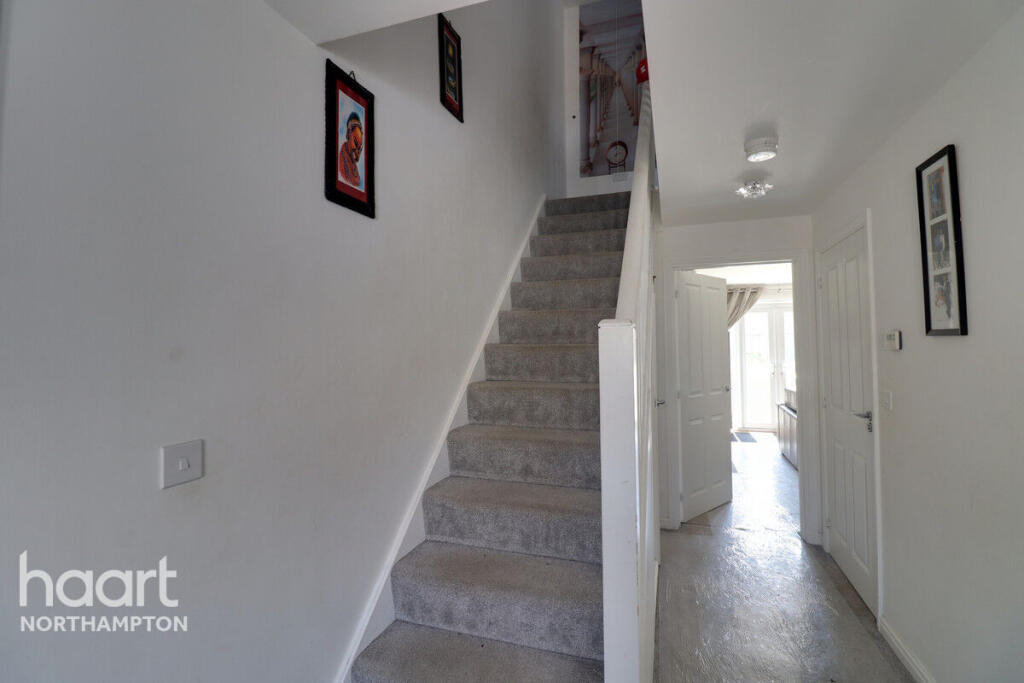
Images


Nearby Streets
| Name | Average Price | Average Sqft | Distance |
|---|---|---|---|
| Upton Lawn Grove | £ 0 | 0 | 0.00 KM |
| Sir Thomas Court | £ 0 | 0 | 0.00 KM |
| The Crown Close | £ 0 | 0 | 0.00 KM |
| Wild Deer Court | £ 369,750 | 0 | 0.00 KM |
| Strobel Mews | £ 175,000 | 0 | 0.00 KM |
Nearby Transport
| Name | NLC | TLC | Distance |
|---|---|---|---|
| Northampton | 1069 | NMP | 5.24 KM |
Nearby Listings
| Address | Price | Type | Score | Distance |
|---|---|---|---|---|
| Mayfly Road, Northampton | £ 1,700 | RENT | Unknown | 0.00 KM |
| Damselfly Road, Northampton | £ 1,595 | RENT | Unknown | 0.10 KM |
| Damselfly Road, Northampton | £ 1,595 | RENT | Unknown | 0.11 KM |
| Damselfly Road, Northampton, NN4 9ET | £ 1,595 | RENT | Unknown | 0.22 KM |
| Hawker Way, Northampton, NN4 9EW | £ 1,300 | RENT | Unknown | 0.29 KM |
Nearby Properties
| Address | Price | Distance |
|---|---|---|
| 12 Mayfly Road | £ 275,000 | 0.03 KM |
| 26 Mayfly Road | £ 359,995 | 0.03 KM |
| 28 Mayfly Road | £ 345,000 | 0.03 KM |
| 18 Mayfly Road | £ 256,000 | 0.03 KM |
| 25 Dragonfly Way | £ 245,000 | 0.11 KM |