HA
Crowther Road, Bristol
By haart
£ 700
haart says ..
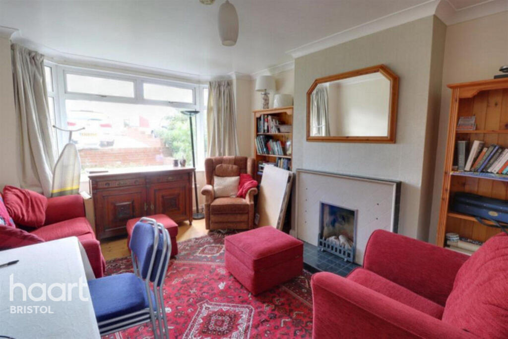
A great sized double room in a shared house in Horfield
- Bedrooms
- 1
- Bathrooms
- 1
The heatmap indicates the level of crime in the area. The color of the heatmap indicates the crime severity and recency.
Metrics Year-on-Year
- Average area value
- 308,695.00 £Decreased by 14.98 %
- Average area rental value
- 2,053.00 £/moIncreased by 3.06 %
- Est rental Yield
- 7.98 %Increased by 21.28 %
- Crime Rate
- 2.00 %Unchanged by 0.00 %
from 363,095.00 £
from 1,992.00 £/mo
from 6.58 %
from 2.00 %
Agent Activity
haart created the listing.
Nearby Schools
| Name | Type | Ofsted | Distance |
|---|---|---|---|
| Fairfield High School | Academy Converter | Good | 0.55 KM |
| Glenfrome Primary School | Community School | Good | 0.97 KM |
| St Werburghs Park Nursery School | Local Authority Nursery School | Good | 1.00 KM |
| St Werburgh'S Primary School | Academy Converter | 1.06 KM | |
| Trinity Academy | Free Schools | 1.15 KM |
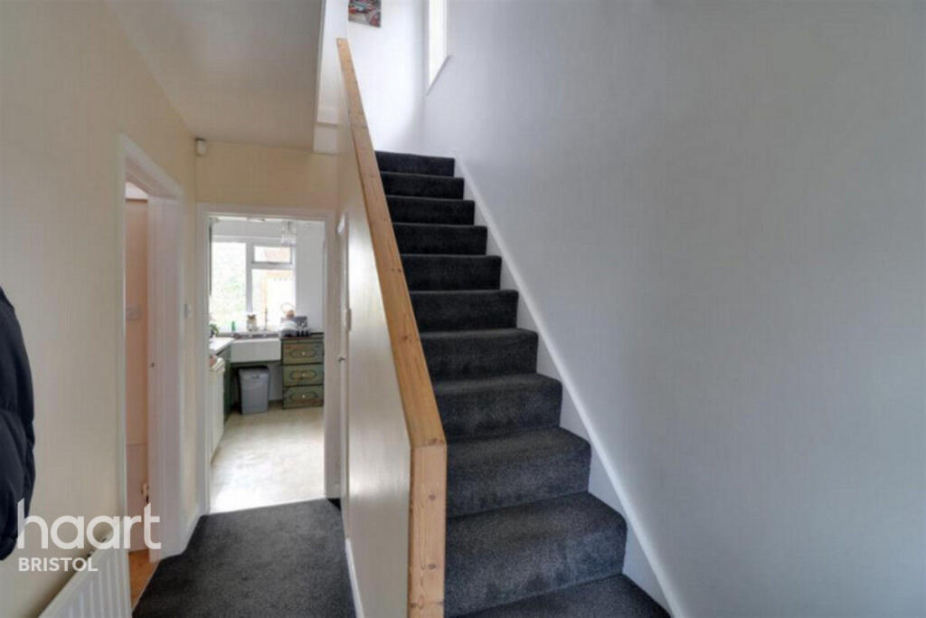
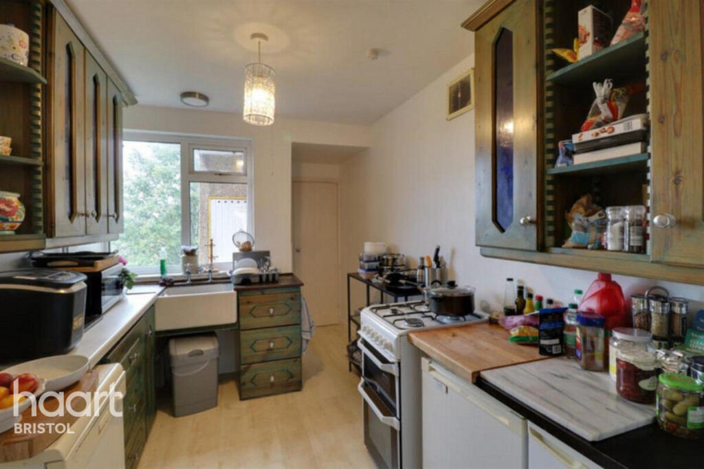
Images


Nearby Streets
| Name | Average Price | Average Sqft | Distance |
|---|---|---|---|
| Brent Road | £ 541,667 | 0 | 0.00 KM |
| Concorde Way | £ 0 | 0 | 0.00 KM |
| Heath Road | £ 420,000 | 0 | 0.00 KM |
| Mercia Drive | £ 337,500 | 0 | 0.00 KM |
| Seddon Road | £ 550,000 | 0 | 0.00 KM |
Nearby Transport
| Name | NLC | TLC | Distance |
|---|---|---|---|
| Stapleton Road | 3250 | SRD | 1.56 KM |
| Montpelier | 3203 | MTP | 2.26 KM |
| Lawrence Hill | 3225 | LWH | 2.61 KM |
| Filton Abbey Wood | 3235 | FIT | 2.95 KM |
| Redland | 3247 | RDA | 3.26 KM |
Nearby Listings
| Address | Price | Type | Score | Distance |
|---|---|---|---|---|
| Crowther Road, Bristol | £ 700 | RENT | Unknown | 0.00 KM |
| Lindsay Road, Horfield, BS7 9NP | £ 4,350 | RENT | Unknown | 0.07 KM |
| Crowther Road, Bristol | £ 1,750 | RENT | Unknown | 0.12 KM |
| Shaldon Road, Horfield, Bristol | £ 1,100 | RENT | Unknown | 0.13 KM |
| Romney Avenue, Bristol, BS7 | £ 1,600 | RENT | Unknown | 0.27 KM |
Nearby Properties
| Address | Price | Distance |
|---|---|---|
| 15 Crowther Road | £ 93,000 | 0.04 KM |
| 2 Crowther Road | £ 436,000 | 0.04 KM |
| 33 Crowther Road | £ 200,000 | 0.04 KM |
| 31 Crowther Road | £ 280,000 | 0.04 KM |
| 37 Crowther Road | £ 335,000 | 0.04 KM |