PA
Abergavenny
By Parrys
£ 700
Parrys says ..
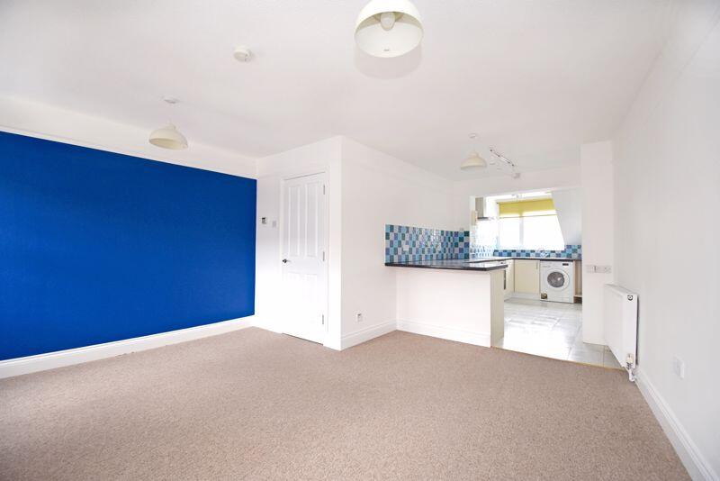
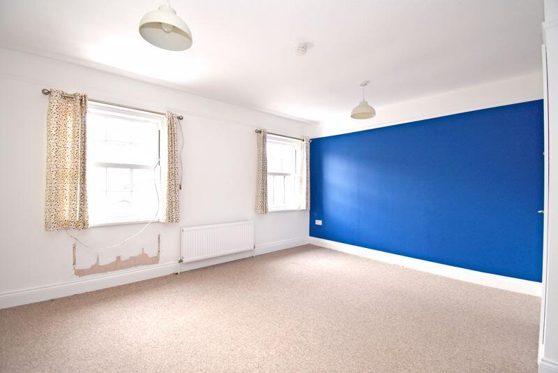
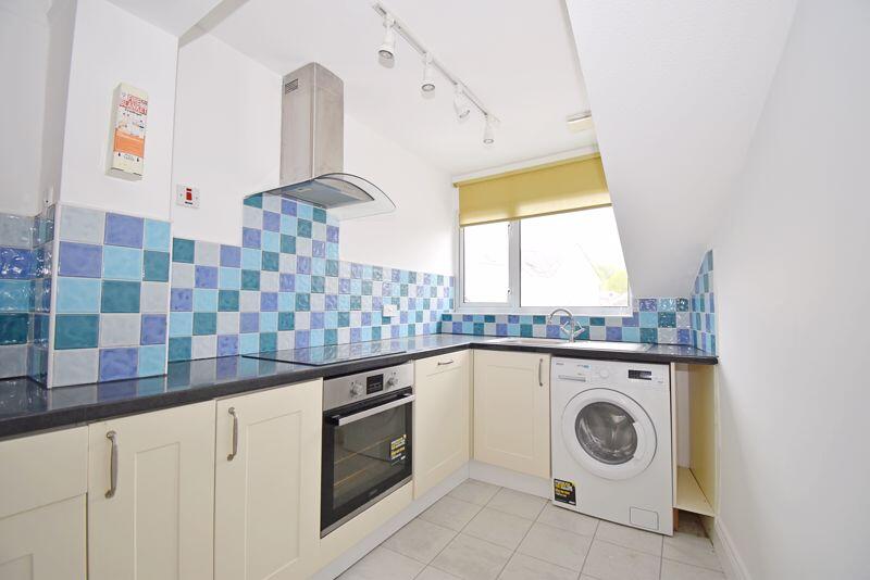
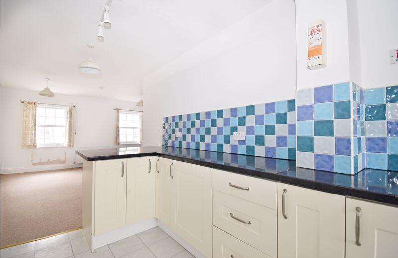
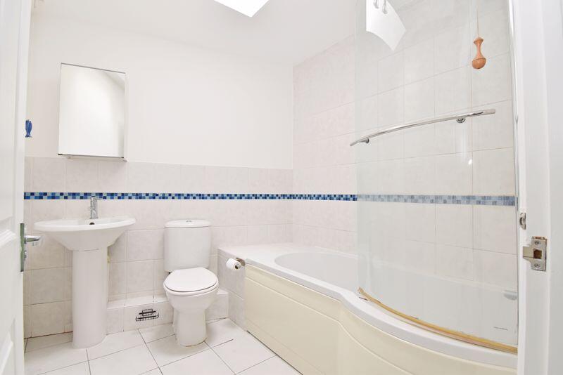
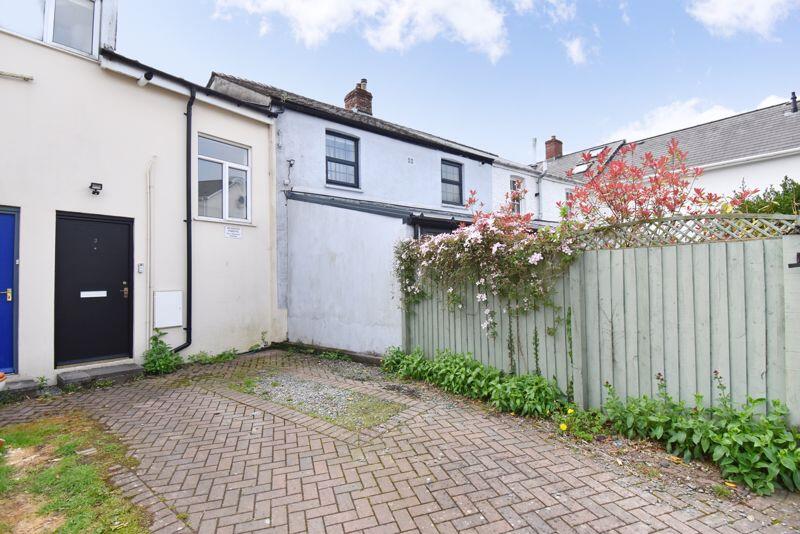
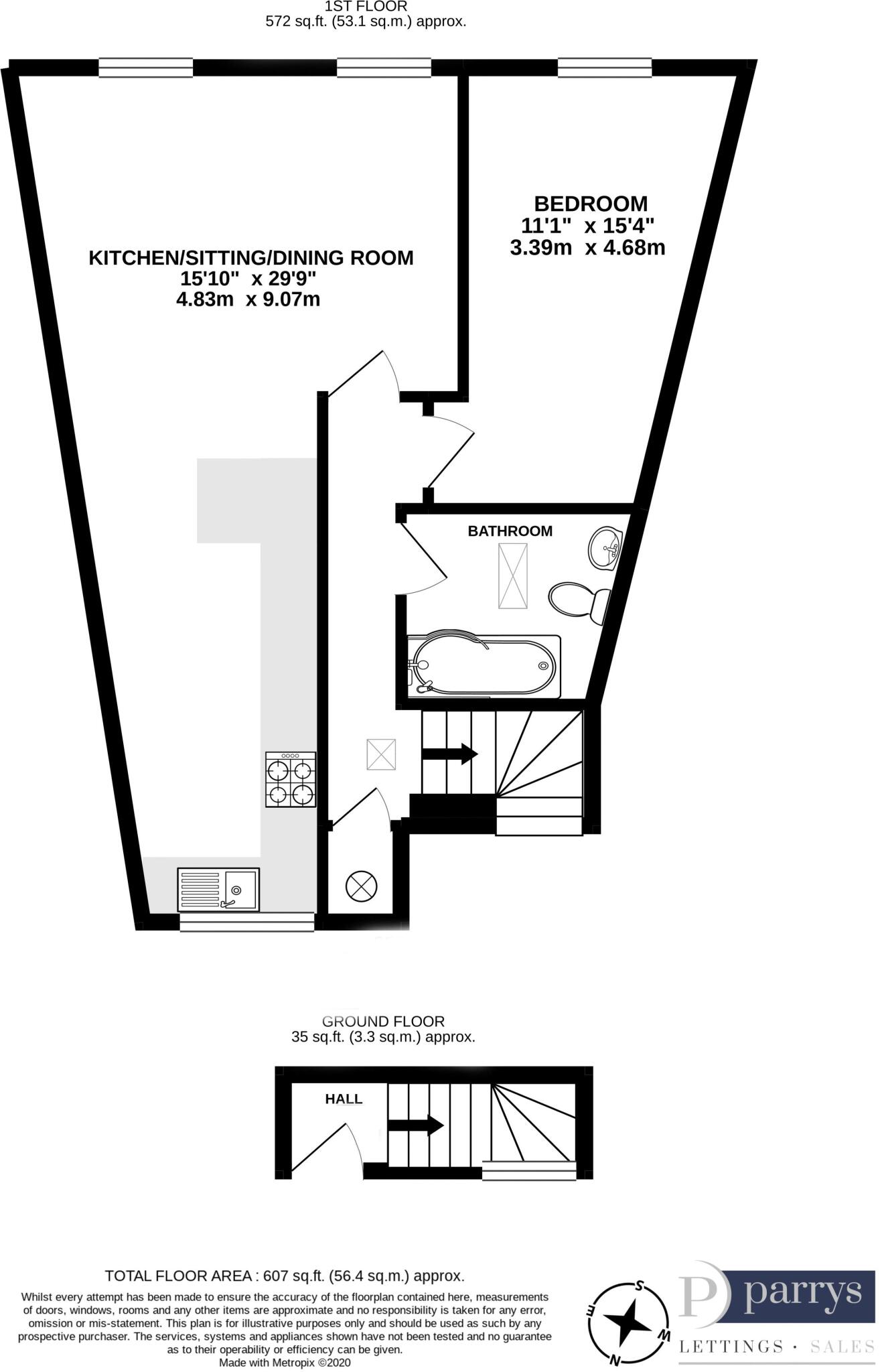
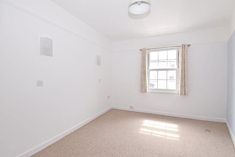
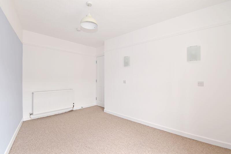
Situated on the outskirts of Abergavenny town centre, a well-presented one bedroom first floor flat with allocated parking space.
- Bedrooms
- 1
- Bathrooms
- 1
The heatmap indicates the level of crime in the area. The color of the heatmap indicates the crime severity and recency.
Metrics Year-on-Year
- Average area value
- 287,293.00 £Decreased by 0.23 %
- Average area rental value
- 1,083.00 £/moIncreased by 11.42 %
- Est rental Yield
- 4.52 %Increased by 11.60 %
- Crime Rate
- 24.00 %Unchanged by 0.00 %
from 287,944.00 £
from 972.00 £/mo
from 4.05 %
from 24.00 %
Agent Activity
Parrys created the listing.
Nearby Schools
| Name | Type | Ofsted | Distance |
|---|---|---|---|
| Our Lady & St Michael'S School | Welsh Establishment | 0.19 KM | |
| Cantref Primary | Welsh Establishment | 0.46 KM | |
| Ysgol Gymraeg Y Fenni | Welsh Establishment | 0.58 KM | |
| King Henry Viii Comprehensive School | Welsh Establishment | 0.94 KM | |
| Deri View Primary | Welsh Establishment | 1.44 KM |
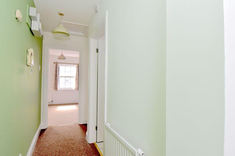
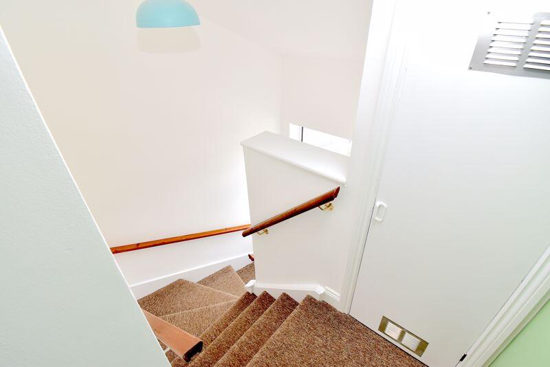
Images

Nearby Streets
| Name | Average Price | Average Sqft | Distance |
|---|---|---|---|
| St Michael's Road | £ 0 | 0 | 0.00 KM |
| Radstock Court | £ 0 | 0 | 0.00 KM |
| Frogmore Street | £ 225,000 | 0 | 0.00 KM |
| Park Crescent | £ 250,000 | 0 | 0.00 KM |
| Park Road | £ 0 | 0 | 0.00 KM |
Nearby Transport
| Name | NLC | TLC | Distance |
|---|---|---|---|
| Abergavenny | 3602 | AGV | 1.77 KM |
Nearby Listings
| Address | Price | Type | Score | Distance |
|---|---|---|---|---|
| St. Michaels Road, Abergavenny | £ 825 | RENT | Unknown | 0.05 KM |
| Brecon Road, Abergavenny, NP7 | £ 695 | RENT | Unknown | 0.07 KM |
| Frogmore Street, Abergavenny | £ 950 | RENT | Unknown | 0.19 KM |
| Victoria Street, Abergavenny, NP7 | £ 1,150 | RENT | Unknown | 0.25 KM |
| Avenue Road, Avenue Court Avenue Road, NP7 | £ 1,050 | RENT | Unknown | 0.25 KM |
Nearby Properties
| Address | Price | Distance |
|---|---|---|
| 5 St Michaels Road | £ 206,000 | 0.06 KM |
| 8 St Michaels Road | £ 204,000 | 0.06 KM |
| 7 St Michaels Road | £ 125,000 | 0.06 KM |
| Wilberton House | £ 215,000 | 0.13 KM |
| 28 Frogmore Street | £ 145,000 | 0.13 KM |