
UP
Brooksbys Walk, E9 6DB
By Upper Class Estates
£ 1,850
Upper Class Estates says ..
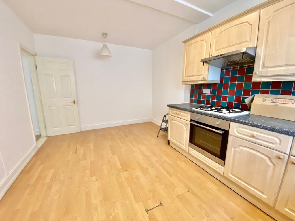
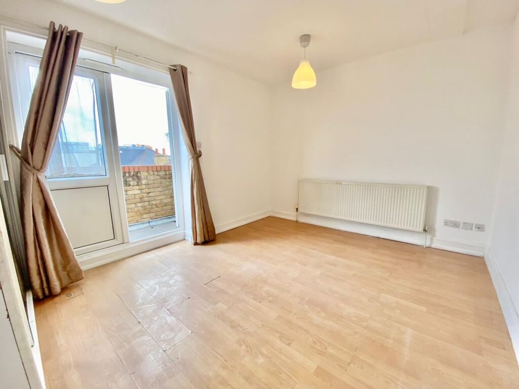
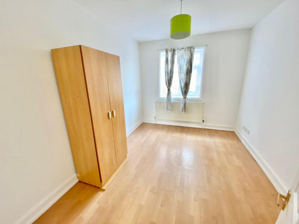
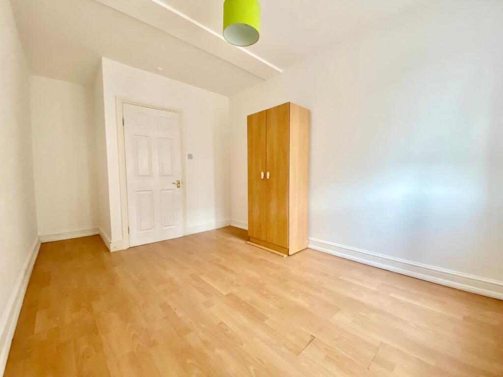
Spacious 2 bedroom flat property next to Homerton Hospital
- Bedrooms
- 2
- Bathrooms
- 1
The heatmap indicates the level of crime in the area. The color of the heatmap indicates the crime severity and recency.
Metrics Year-on-Year
- Average area value
- 786,667.00 £Decreased by 0.96 %
- Average area rental value
- 2,720.00 £/moDecreased by 8.48 %
- Est rental Yield
- 4.15 %Decreased by 7.57 %
- Crime Rate
- 7.00 %Unchanged by 0.00 %
from 794,286.00 £
from 2,972.00 £/mo
from 4.49 %
from 7.00 %
Agent Activity
Upper Class Estates created the listing.
Nearby Schools
| Name | Type | Ofsted | Distance |
|---|---|---|---|
| Berger Primary School | Community School | Good | 0.58 KM |
| Daubeney Primary School | Community School | Requires improvement | 0.61 KM |
| Daubeney Children'S Centre | Children's Centre | 0.62 KM | |
| Rushmore Primary School | Community School | Good | 0.62 KM |
| The City Academy, Hackney | Academy Sponsor Led | Outstanding | 0.63 KM |
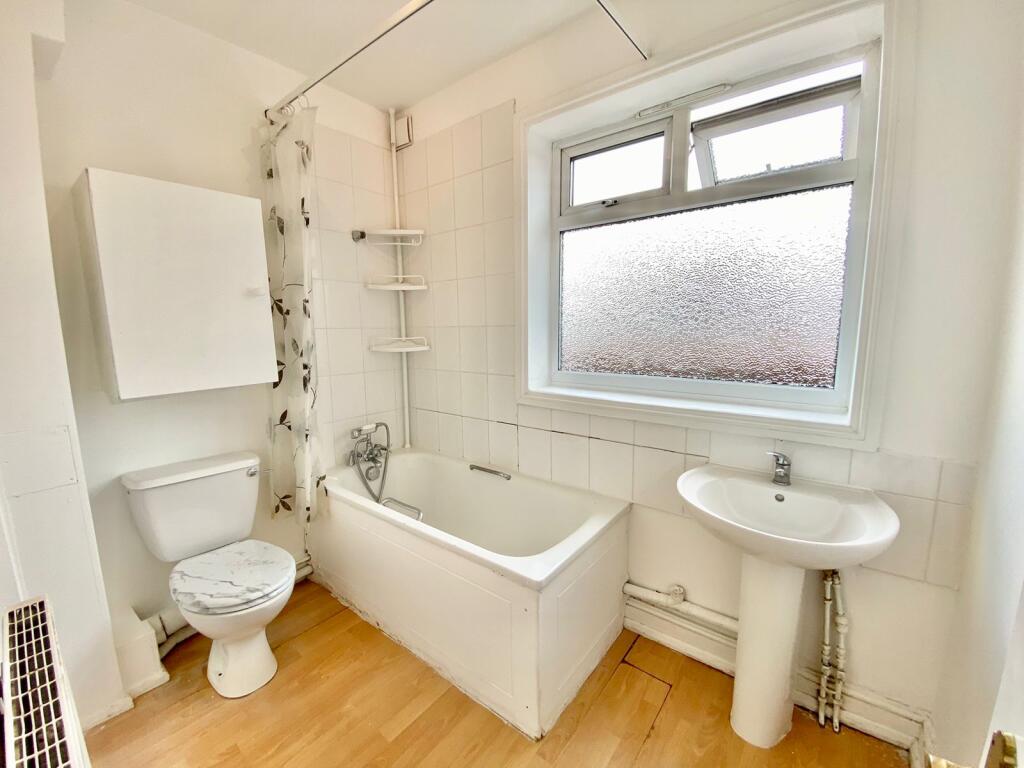
Images


Nearby Streets
| Name | Average Price | Average Sqft | Distance |
|---|---|---|---|
| Fisher Close | £ 0 | 0 | 0.00 KM |
| Thyme Walk | £ 0 | 0 | 0.00 KM |
| Banister House | £ 415,000 | 0 | 0.00 KM |
| Crozier Terrace | £ 0 | 0 | 0.00 KM |
| Shepherd's Lane | £ 350,000 | 0 | 0.00 KM |
Nearby Transport
| Name | NLC | TLC | Distance |
|---|---|---|---|
| Homerton | 6979 | HMN | 0.46 KM |
| Hackney Central | 6977 | HKC | 1.48 KM |
| Lea Bridge | 6927 | LEB | 1.88 KM |
| Clapton | 6926 | CPT | 1.93 KM |
| London Fields | 6966 | LOF | 1.94 KM |
Nearby Listings
| Address | Price | Type | Score | Distance |
|---|---|---|---|---|
| Brooksbys Walk, E9 6DB | £ 1,850 | RENT | Unknown | 0.00 KM |
| Brooksbys Walk, E9 6DB | £ 1,950 | RENT | Unknown | 0.00 KM |
| Brooksby's Walk, Homerton | £ 1,845 | RENT | Unknown | 0.01 KM |
| Brooksby's Walk, London, E9 | £ 1,900 | RENT | Unknown | 0.05 KM |
| Brooksby's Walk, London, E9 | £ 1,895 | RENT | Unknown | 0.07 KM |
Nearby Properties
| Address | Price | Distance |
|---|---|---|
| 50a Brooksby's Walk | £ 650,000 | 0.03 KM |
| 74 Brooksby's Walk | £ 593,300 | 0.03 KM |
| 70 Brooksby's Walk | £ 395,000 | 0.03 KM |
| 54a Brooksby's Walk | £ 20,000 | 0.03 KM |
| 68 Brooksby's Walk | £ 169,995 | 0.03 KM |