NI
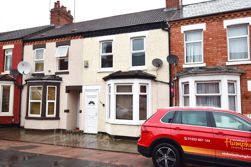
Euston Road, Far Cotton, Northampton, NN4
By Nicholas Humphreys
£ 540
Nicholas Humphreys says ..
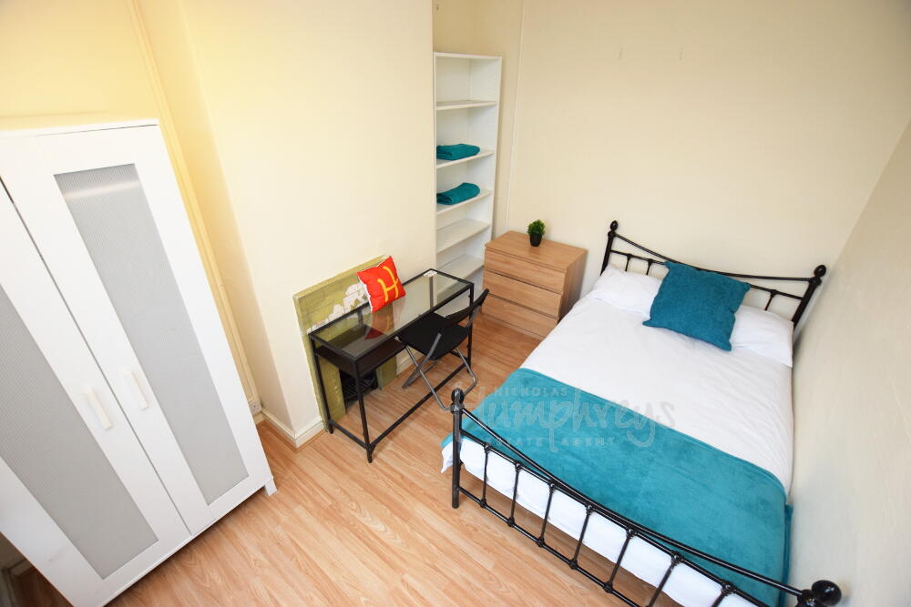
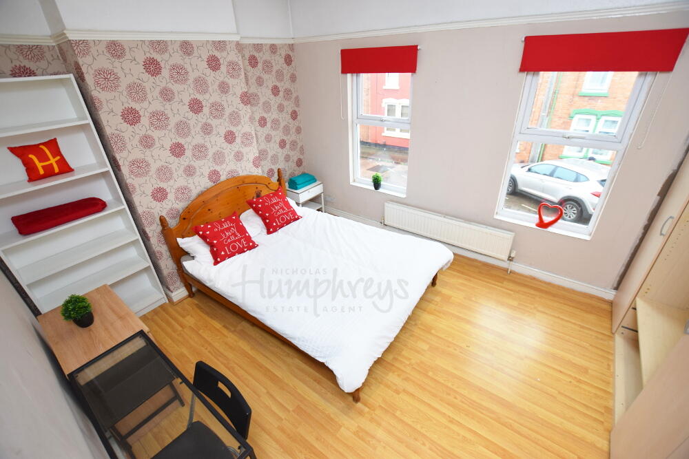
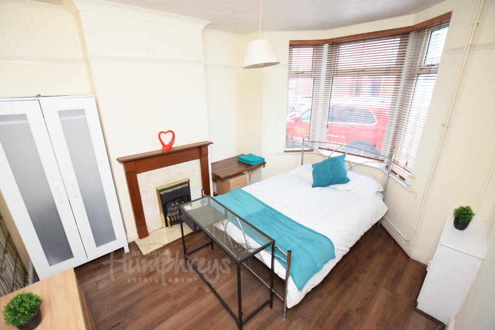
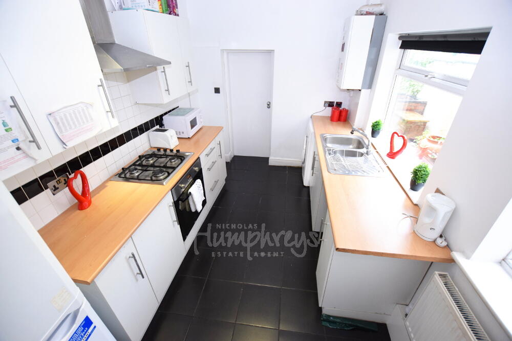
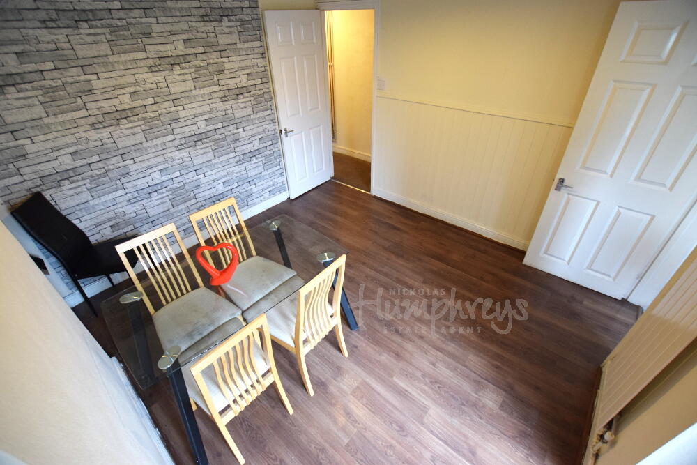
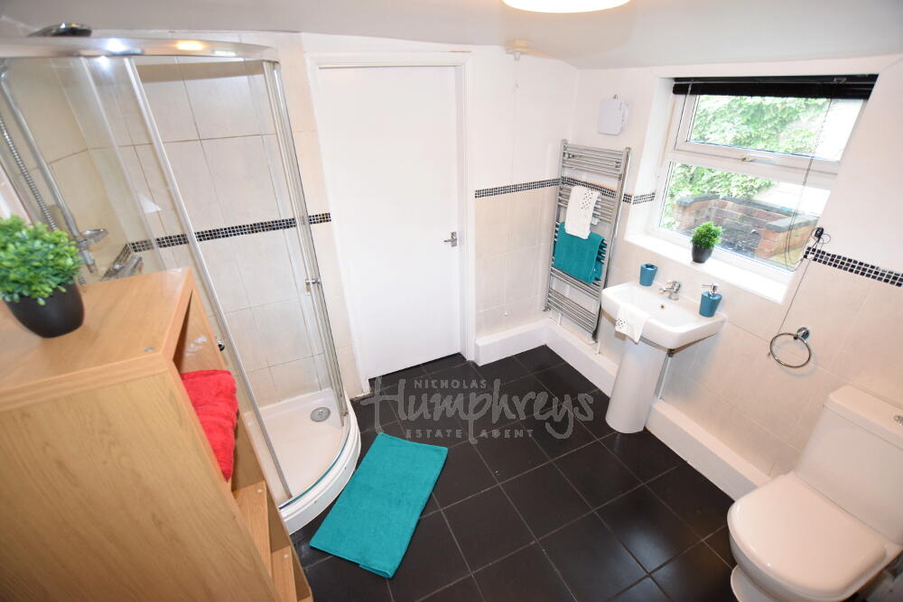
** 25/26 Academic Year Student Accommodation ** SHORT WALK to WATERSIDE ** Located in FAR COTTON ** Separate Lounge ** BILLS INCLUDED **
- Bedrooms
- 4
- Bathrooms
- 1
The heatmap indicates the level of crime in the area. The color of the heatmap indicates the crime severity and recency.
Metrics Year-on-Year
- Average area value
- 273,908.00 £Increased by 8.17 %
- Average area rental value
- 1,093.00 £/moIncreased by 13.85 %
- Est rental Yield
- 4.79 %Increased by 5.27 %
- Crime Rate
- 9.00 %Unchanged by 0.00 %
from 253,224.00 £
from 960.00 £/mo
from 4.55 %
from 9.00 %
Agent Activity
Nicholas Humphreys created the listing.
Nearby Schools
| Name | Type | Ofsted | Distance |
|---|---|---|---|
| Far Cotton Library And Children'S Centre | Children's Centre | 0.38 KM | |
| Queen Eleanor Primary Academy | Academy Sponsor Led | Good | 0.59 KM |
| Hospital And Outreach Education | Academy Alternative Provision Converter | 0.77 KM | |
| Delapre Primary School | Community School | Good | 0.87 KM |
| The Abbey Primary School | Academy Converter | 1.23 KM |
Images

Nearby Streets
| Name | Average Price | Average Sqft | Distance |
|---|---|---|---|
| Saw Mills Court | £ 171,250 | 0 | 0.00 KM |
| Parkfield Crescent | £ 0 | 0 | 0.00 KM |
| Kingswell Street | £ 152,500 | 0 | 0.00 KM |
| St Peters Street | £ 0 | 0 | 0.00 KM |
| Gloucester Close | £ 0 | 0 | 0.00 KM |
Nearby Transport
| Name | NLC | TLC | Distance |
|---|---|---|---|
| Northampton | 1069 | NMP | 1.30 KM |
Nearby Listings
| Address | Price | Type | Score | Distance |
|---|---|---|---|---|
| Euston Road, Far Cotton, Northampton, NN4 | £ 540 | RENT | Unknown | 0.00 KM |
| Euston Road, Northampton, Northamptonshire, NN4 | £ 1,200 | RENT | Unknown | 0.01 KM |
| Euston Road, Far Cotton, Northampton, NN4 | £ 1,300 | RENT | Unknown | 0.04 KM |
| Euston Road, Northampton, NN4 | £ 650 | RENT | Unknown | 0.04 KM |
| St. Leonards Road, NORTHAMPTON | £ 925 | RENT | Unknown | 0.04 KM |
Nearby Properties
| Address | Price | Distance |
|---|---|---|
| 86 Euston Road | £ 143,000 | 0.00 KM |
| 96 Euston Road | £ 155,000 | 0.00 KM |
| 62 Euston Road | £ 230,000 | 0.00 KM |
| 120 Euston Road | £ 200,000 | 0.00 KM |
| 98 Euston Road | £ 250,000 | 0.00 KM |