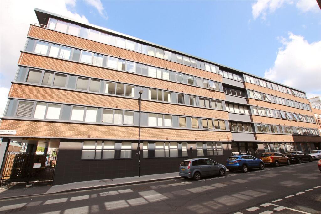

Ogle Road, Southampton, SO14
By Charters
£ 1,000
Charters says ..
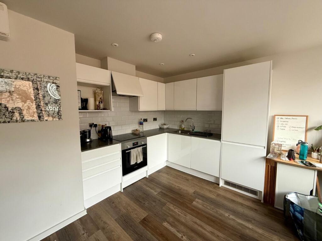
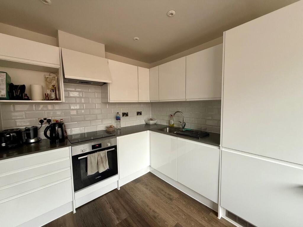
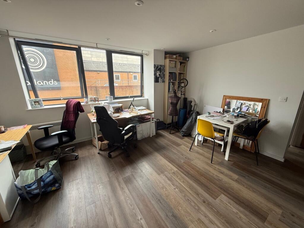
Modern one-bedroom apartment in the heart of Southampton.
- Bedrooms
- 1
- Bathrooms
- 1
The heatmap indicates the level of crime in the area. The color of the heatmap indicates the crime severity and recency.
Metrics Year-on-Year
- Average area value
- 222,098.00 £Decreased by 0.46 %
- Average area rental value
- 1,204.00 £/moDecreased by 7.81 %
- Est rental Yield
- 6.51 %Decreased by 7.26 %
- Crime Rate
- 23.00 %Unchanged by 0.00 %
from 223,118.00 £
from 1,306.00 £/mo
from 7.02 %
from 23.00 %
Agent Activity
Charters created the listing.
Nearby Schools
| Name | Type | Ofsted | Distance |
|---|---|---|---|
| Southampton Solent University | Higher Education Institutions | Good | 0.67 KM |
| St John'S Primary And Nursery School | Foundation School | Good | 0.82 KM |
| The Polygon School | Foundation Special School | Good | 0.96 KM |
| Hope Community School Southampton | Free Schools | 1.02 KM | |
| St Anne'S Catholic School | Academy Converter | Outstanding | 1.06 KM |
Images


Nearby Streets
| Name | Average Price | Average Sqft | Distance |
|---|---|---|---|
| Westquay Top Floor Dining Area | £ 0 | 0 | 0.00 KM |
| Windsor Terrace | £ 0 | 0 | 0.00 KM |
| West Quay Road | £ 0 | 0 | 0.00 KM |
| Hamtun Street | £ 0 | 0 | 0.00 KM |
| Simnel Street | £ 0 | 0 | 0.00 KM |
Nearby Transport
| Name | NLC | TLC | Distance |
|---|---|---|---|
| Southampton Central | 5932 | SOU | 0.90 KM |
| St Denys | 5914 | SDN | 2.73 KM |
| Millbrook (Hants) | 5909 | MBK | 3.18 KM |
| Woolston | 5925 | WLS | 3.25 KM |
| Bitterne | 5945 | BTE | 3.49 KM |
Nearby Listings
| Address | Price | Type | Score | Distance |
|---|---|---|---|---|
| Ogle Road, Southampton, SO14 | £ 1,000 | RENT | Unknown | 0.00 KM |
| Ogle Road, Southampton | £ 1,100 | RENT | Unknown | 0.02 KM |
| Ogle Road, Southampton SO14 | £ 1,050 | RENT | Unknown | 0.02 KM |
| Portland Place, 8 Ogle Road, Southampton | £ 1,025 | RENT | Unknown | 0.03 KM |
| Portland Street, City Central | £ 850 | RENT | Unknown | 0.08 KM |
Nearby Properties
| Address | Price | Distance |
|---|---|---|
| 8 Portland Street | £ 283,000 | 0.08 KM |
| 5 Forest View | £ 75,000 | 0.43 KM |
| 8 Forest View | £ 340,000 | 0.43 KM |
| 6 Forest View | £ 375,000 | 0.43 KM |
| 4 Forest View | £ 289,800 | 0.43 KM |