HA
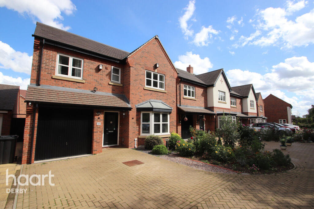
Longford Close, Derby
By haart
£ 1,600
haart says ..
Highfields Estate, Littleover
- Bedrooms
- 4
- Bathrooms
- 1
The heatmap indicates the level of crime in the area. The color of the heatmap indicates the crime severity and recency.
Metrics Year-on-Year
- Average area value
- 438,738.00 £Increased by 29.66 %
- Average area rental value
- 1,144.00 £/moIncreased by 5.63 %
- Est rental Yield
- 3.13 %Decreased by 18.49 %
- Crime Rate
- 9.00 %Unchanged by 0.00 %
from 338,377.00 £
from 1,083.00 £/mo
from 3.84 %
from 9.00 %
Agent Activity
haart created the listing.
Nearby Schools
| Name | Type | Ofsted | Distance |
|---|---|---|---|
| Derby Grammar School | Other Independent School | 0.77 KM | |
| Griffe Field Primary School | Academy Converter | 0.95 KM | |
| Highfields Spencer Academy | Free Schools | 0.95 KM | |
| Littleover Community School | Community School | Outstanding | 1.29 KM |
| Ivy House School | Academy Special Converter | 1.47 KM |
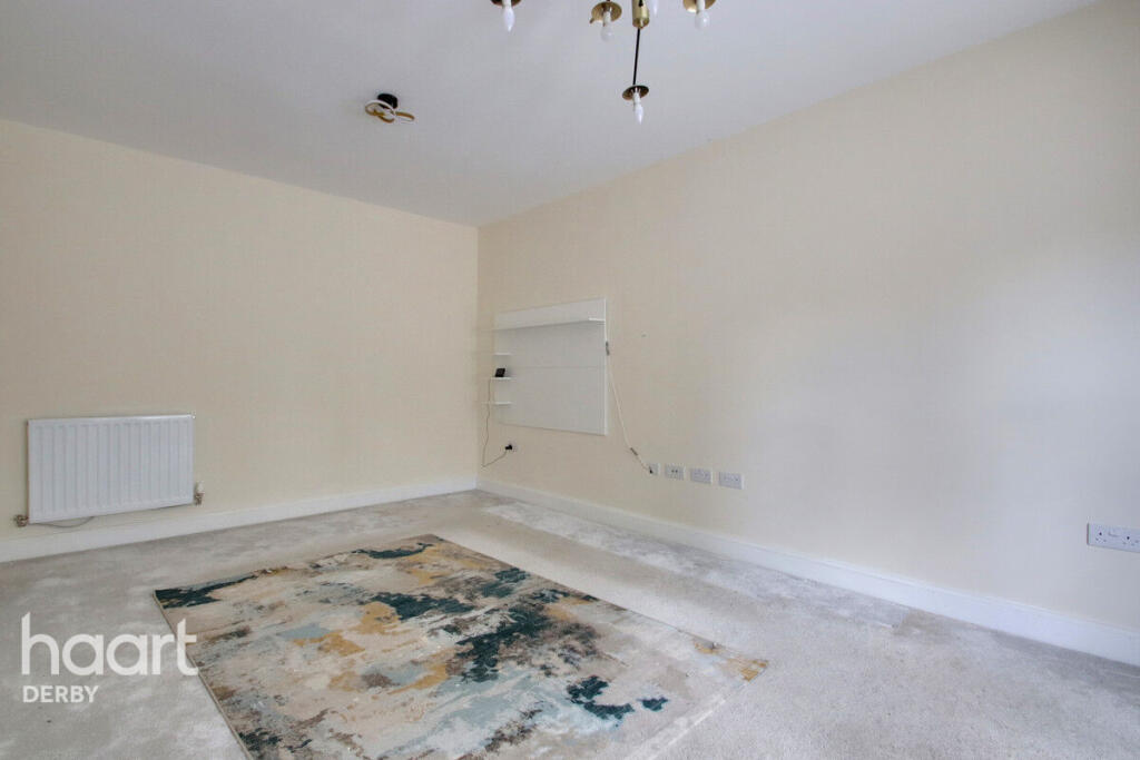
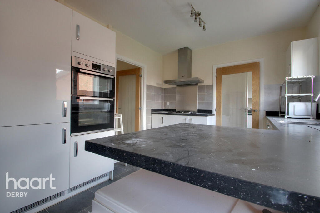
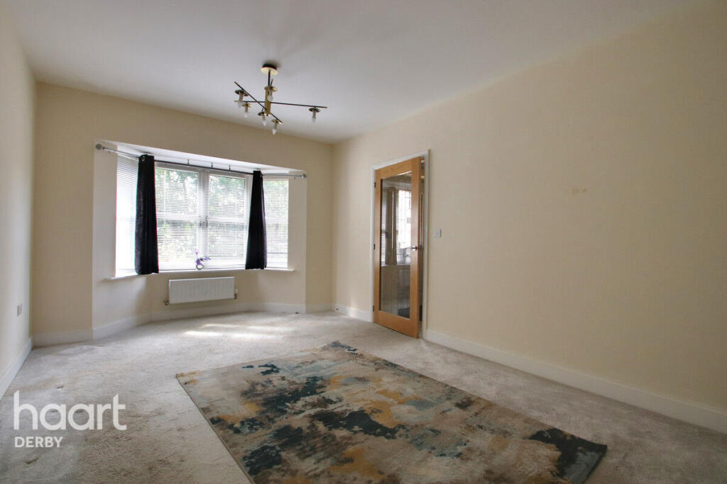
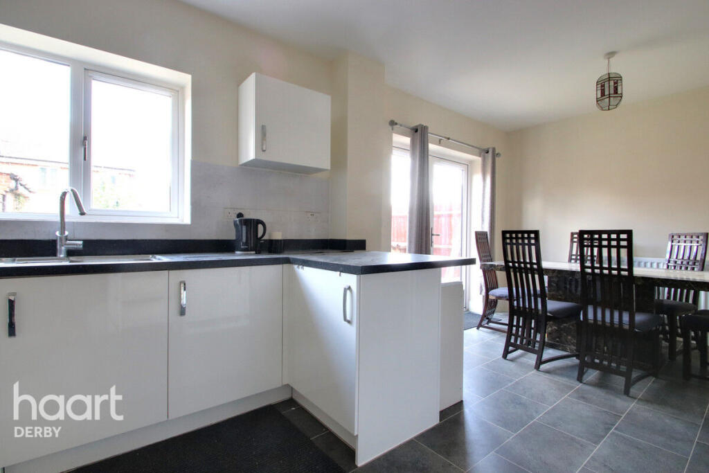
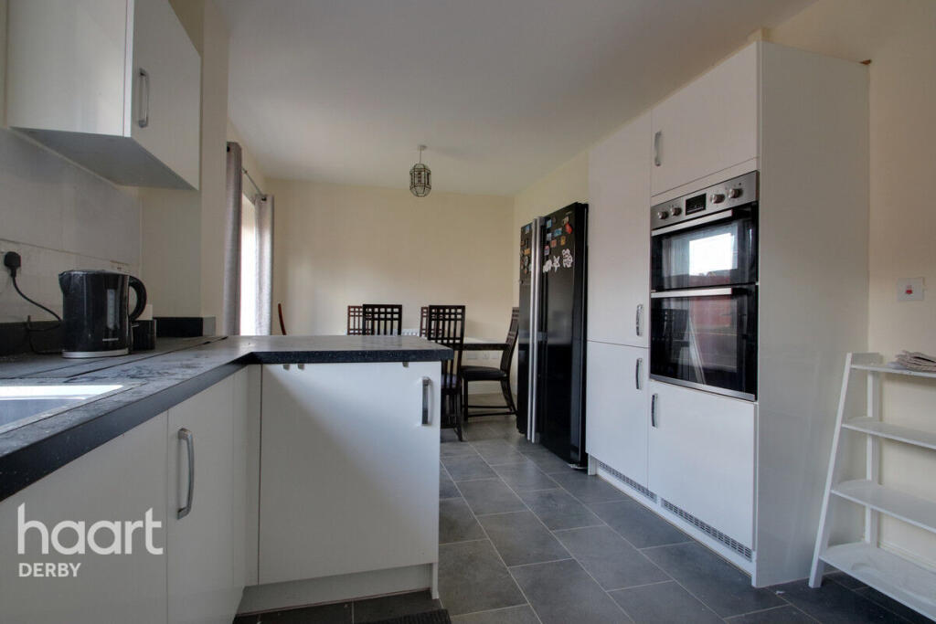
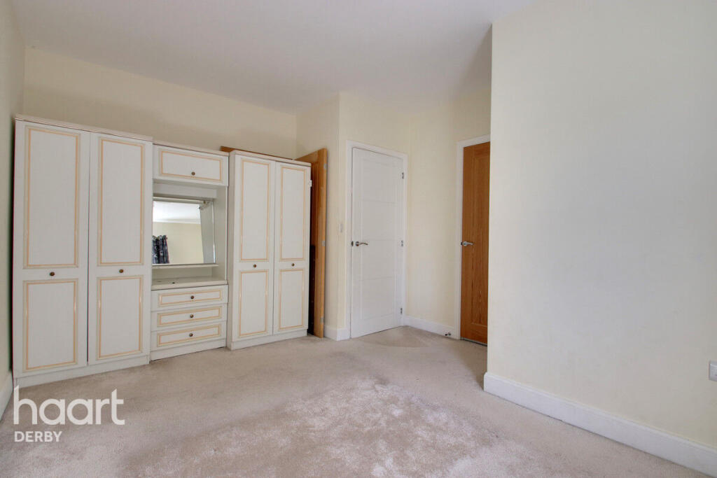
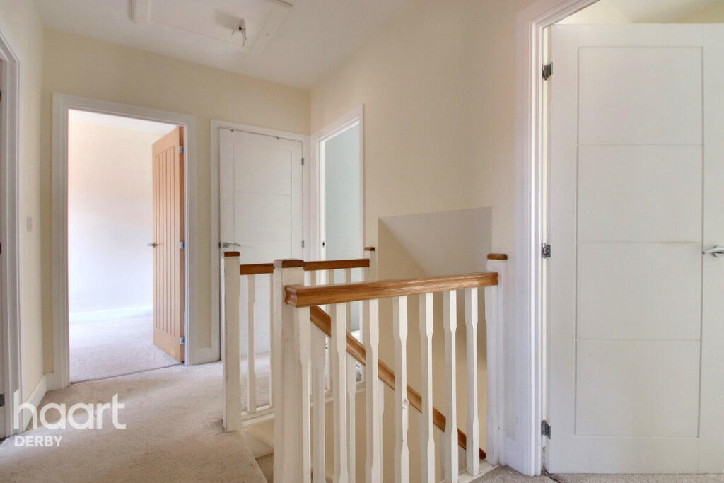
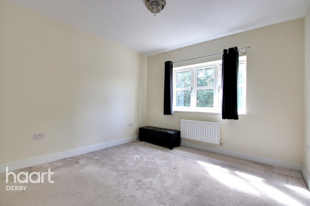
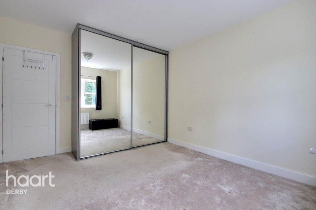
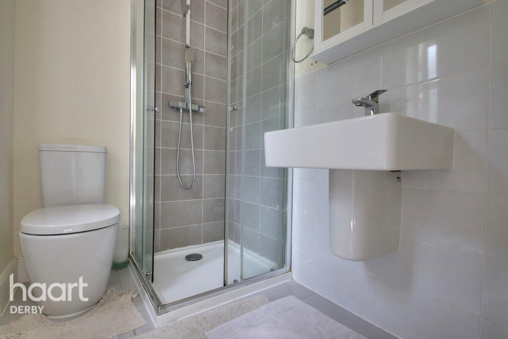
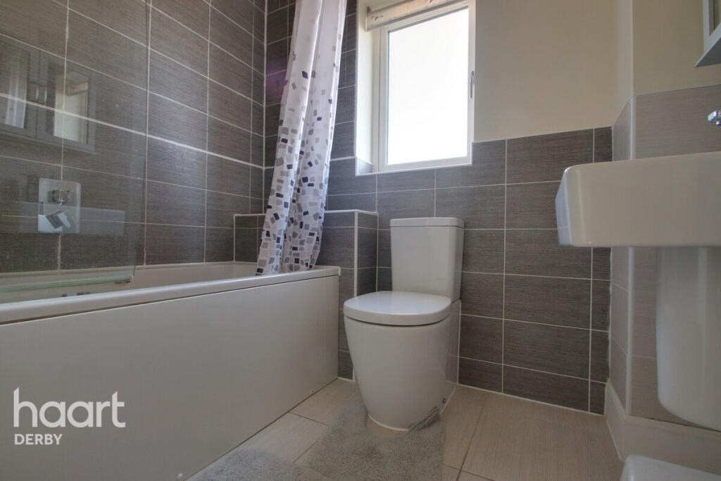
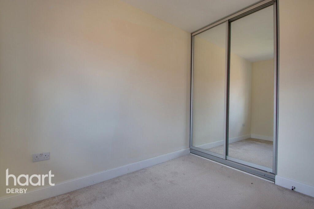
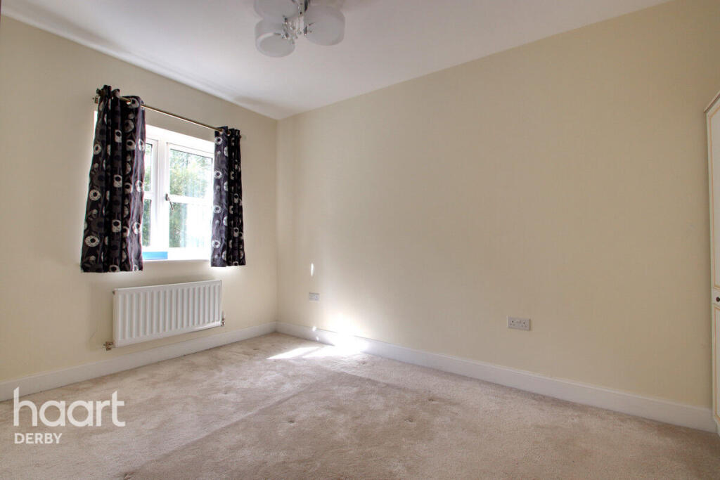
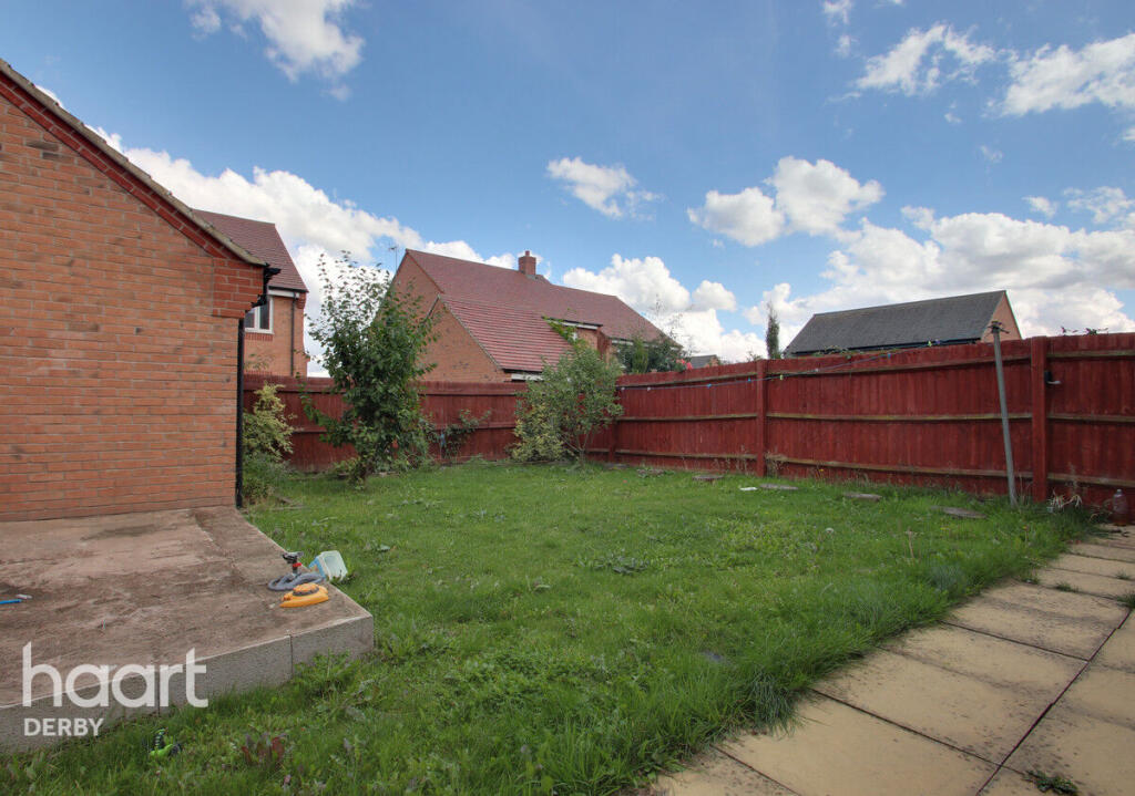
Images

Nearby Streets
| Name | Average Price | Average Sqft | Distance |
|---|---|---|---|
| Micklecroft Gardens | £ 550,000 | 0 | 0.00 KM |
| Fulbrook Road | £ 425,000 | 0 | 0.00 KM |
| West View Avenue | £ 0 | 0 | 0.00 KM |
| Elgin Avenue | £ 350,000 | 0 | 0.00 KM |
| Pipistrelle Place | £ 230,000 | 0 | 0.00 KM |
Nearby Transport
| Name | NLC | TLC | Distance |
|---|---|---|---|
| Willington | 1905 | WIL | 5.67 KM |
| Peartree | 1687 | PEA | 5.88 KM |
| Derby | 1823 | DBY | 7.57 KM |
Nearby Listings
| Address | Price | Type | Score | Distance |
|---|---|---|---|---|
| Longford Close, Derby | £ 1,600 | RENT | Unknown | 0.00 KM |
| Longford Close, Littleover | £ 1,600 | RENT | Unknown | 0.03 KM |
| Clifton Drive, Littleover, Derby | £ 1,250 | RENT | Unknown | 0.14 KM |
| Arundel Way, Littleover, Derby | £ 1,100 | RENT | Unknown | 0.19 KM |
| Arundel Way, Littleover DE23 3AY | £ 975 | RENT | Unknown | 0.25 KM |
Nearby Properties
| Address | Price | Distance |
|---|---|---|
| 6 Clifton Drive | £ 198,500 | 0.11 KM |
| 6 Mossvale Drive | £ 111,995 | 0.25 KM |
| 4 Mossvale Drive | £ 299,950 | 0.25 KM |
| 8 Mossvale Drive | £ 297,500 | 0.25 KM |
| 2 Mossvale Drive | £ 337,000 | 0.25 KM |