
NE
Wood Road, Treforest, Pontypridd
By NEXA South Wales
£ 400
NEXA South Wales says ..
No summary available.
- Bedrooms
- 1
- Bathrooms
- 1
The heatmap indicates the level of crime in the area. The color of the heatmap indicates the crime severity and recency.
Metrics Year-on-Year
- Average area value
- 127,800.00 £Decreased by 14.85 %
- Average area rental value
- 633.00 £/moDecreased by 13.99 %
- Est rental Yield
- 5.94 %Increased by 1.02 %
- Crime Rate
- 15.00 %Unchanged by 0.00 %
from 150,081.00 £
from 736.00 £/mo
from 5.88 %
from 15.00 %
Agent Activity
NEXA South Wales created the listing.
Nearby Schools
| Name | Type | Ofsted | Distance |
|---|---|---|---|
| Parclewis Primary School | Welsh Establishment | 0.21 KM | |
| St Michael'S R.C. Primary School | Welsh Establishment | 0.71 KM | |
| Coedpenmaen County Primary School | Welsh Establishment | 1.42 KM | |
| Trallwng Infants School | Welsh Establishment | 1.74 KM | |
| Y.G.G. Pont Sion Norton | Welsh Establishment | 1.97 KM |
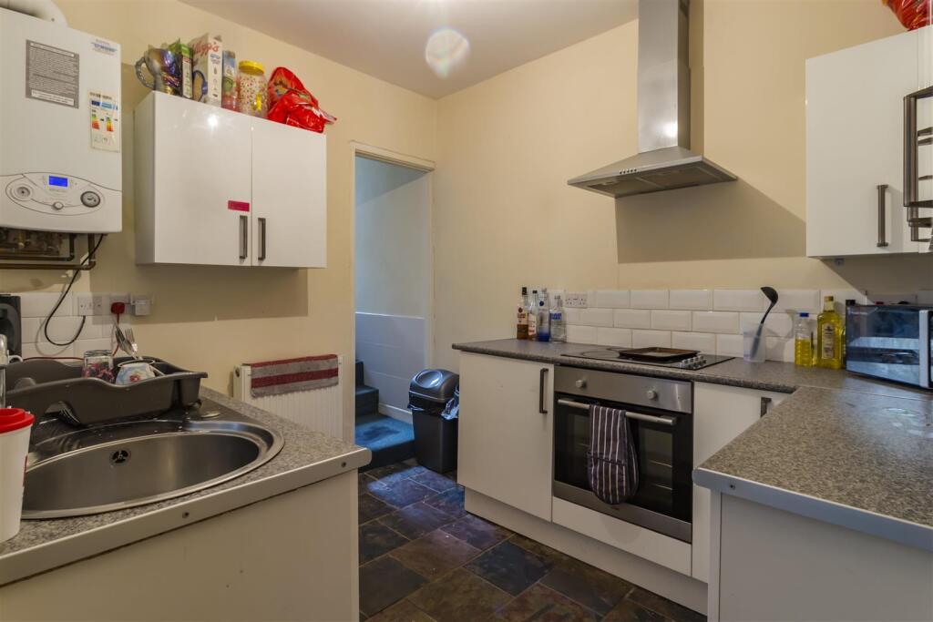
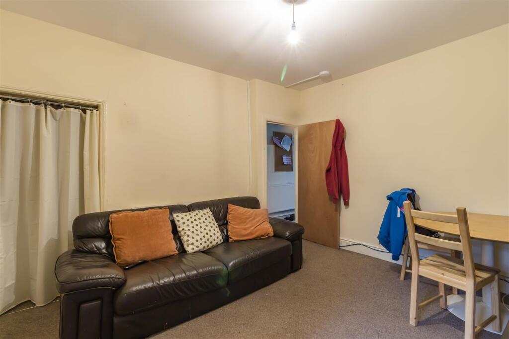
Images


Nearby Streets
| Name | Average Price | Average Sqft | Distance |
|---|---|---|---|
| Nile Street | £ 0 | 0 | 0.00 KM |
| Park Street | £ 0 | 0 | 0.00 KM |
| Nile Road | £ 115,000 | 0 | 0.00 KM |
| Rockingstone Terrace | £ 195,000 | 0 | 0.00 KM |
| Graig yr Helfa | £ 140,000 | 0 | 0.00 KM |
Nearby Transport
| Name | NLC | TLC | Distance |
|---|---|---|---|
| Trefforest | 3887 | TRF | 0.48 KM |
| Pontypridd | 3904 | PPD | 1.58 KM |
| Trefforest Estate | 3886 | TRE | 5.09 KM |
| Abercynon | 3801 | ACY | 5.54 KM |
| Trehafod | 3888 | TRH | 6.12 KM |
Nearby Listings
| Address | Price | Type | Score | Distance |
|---|---|---|---|---|
| Wood Road, Treforest, Pontypridd | £ 400 | RENT | Unknown | 0.00 KM |
| Wood Road, Treforest | £ 1,660 | RENT | Unknown | 0.02 KM |
| Princess Street, Pontypridd | £ 2,220 | RENT | Unknown | 0.06 KM |
| Wood Road, Treforest | £ 78 | RENT | Unknown | 0.07 KM |
| Cambrian Place, Treforest, Pontypridd | £ 85 | RENT | Unknown | 0.08 KM |
Nearby Properties
| Address | Price | Distance |
|---|---|---|
| 114 Wood Road | £ 95,000 | 0.07 KM |
| 84 Wood Road | £ 60,500 | 0.07 KM |
| 73 Wood Road | £ 75,000 | 0.07 KM |
| 75 Wood Road | £ 79,950 | 0.07 KM |
| 112 Wood Road | £ 110,000 | 0.07 KM |