
HA
Birmingham B17 9
By haart
£ 1,195
haart says ..
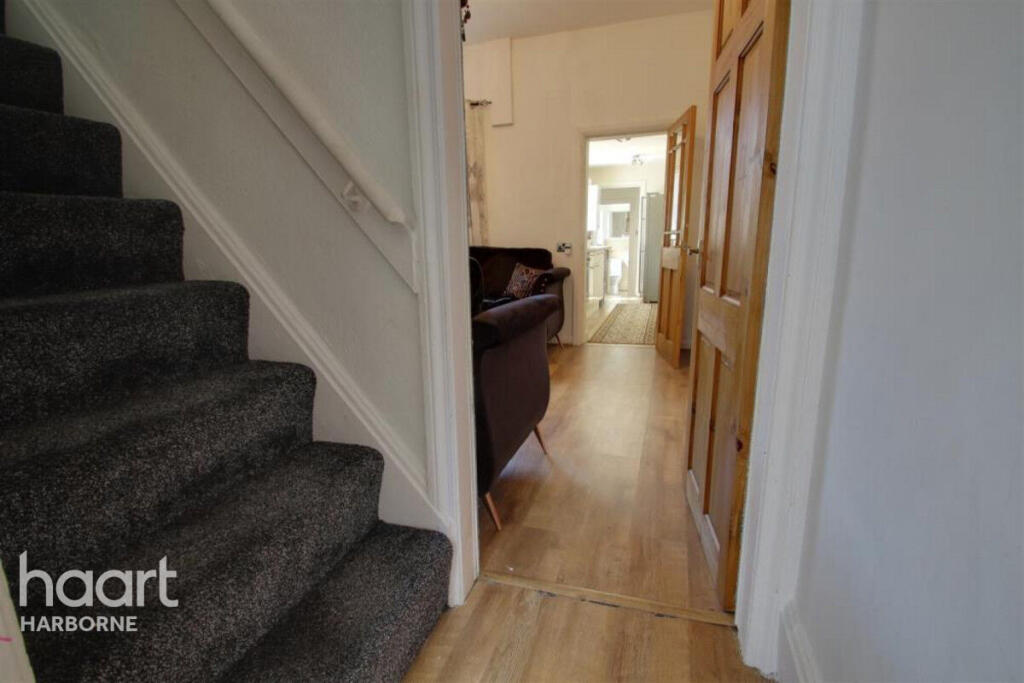
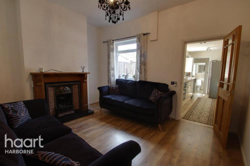
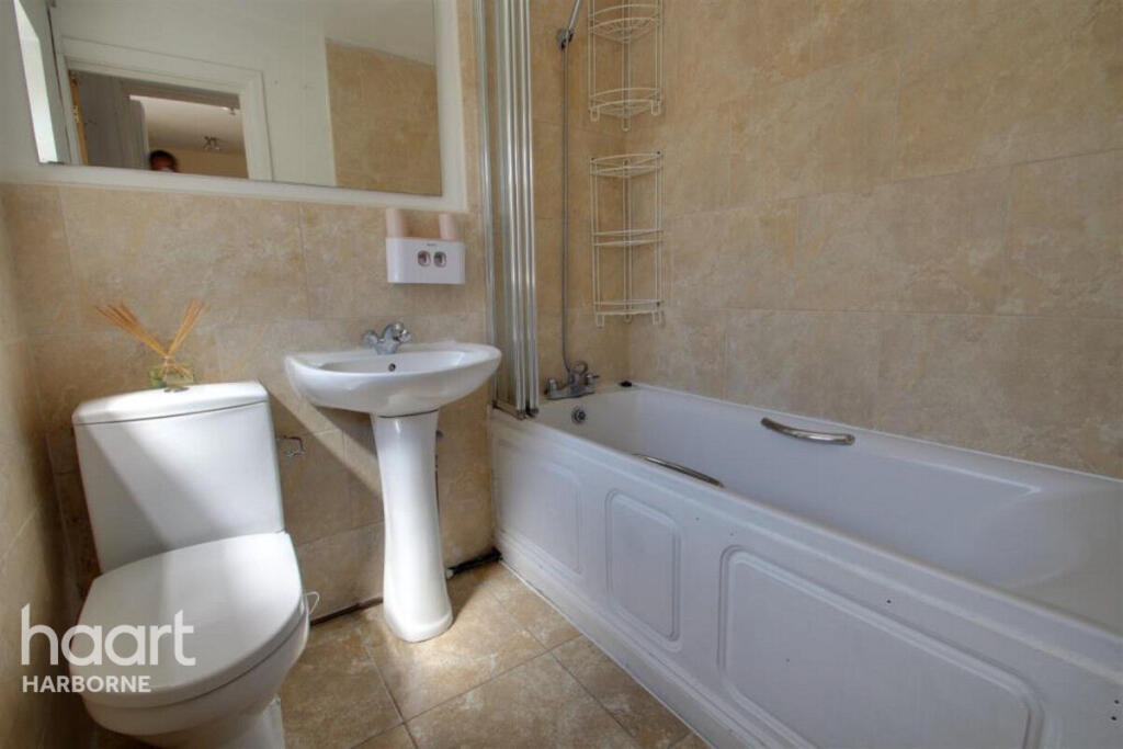
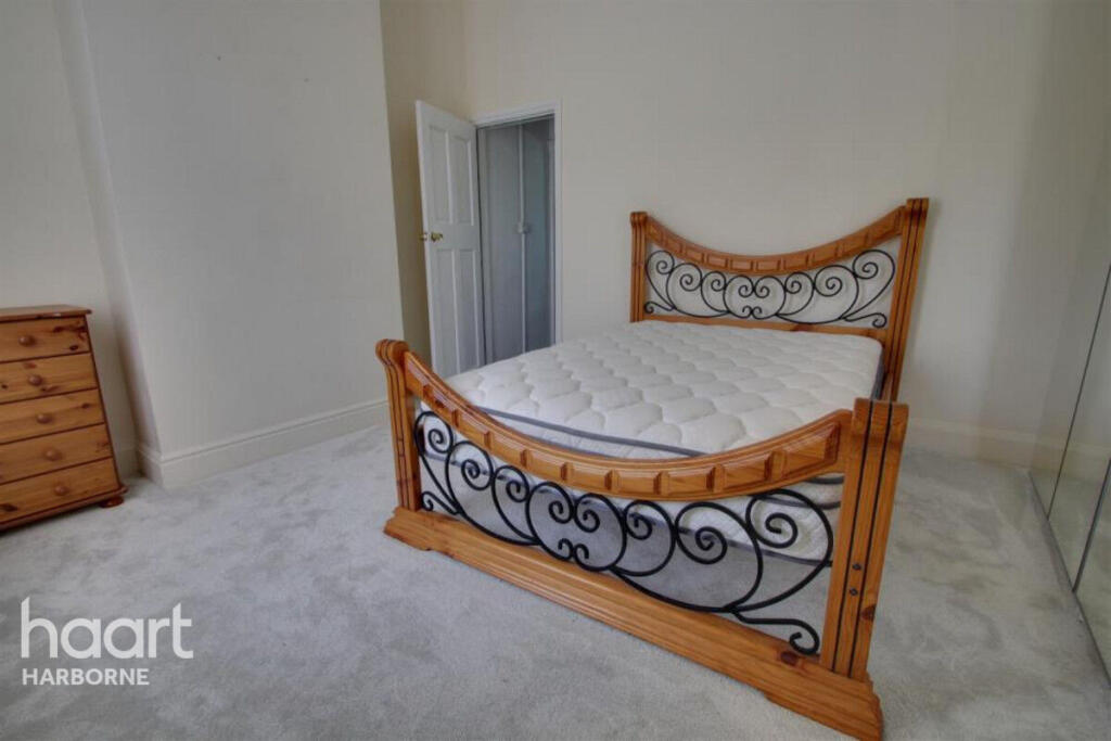
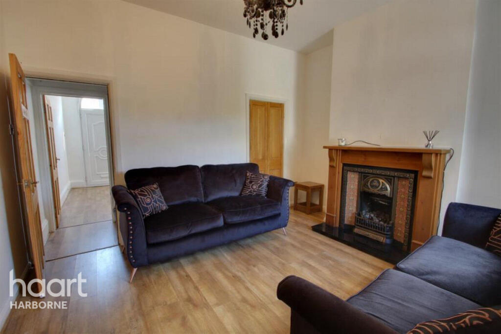
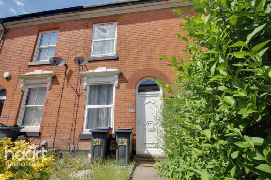
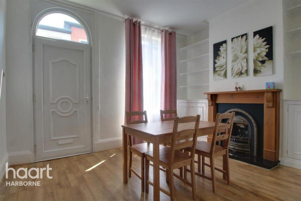
Lovely two bedroom character property in the heart of Harborne
- Bedrooms
- 2
- Bathrooms
- 1
The heatmap indicates the level of crime in the area. The color of the heatmap indicates the crime severity and recency.
Metrics Year-on-Year
- Average area value
- 430,989.00 £Increased by 6.80 %
- Average area rental value
- 1,439.00 £/moIncreased by 15.21 %
- Est rental Yield
- 4.01 %Increased by 8.09 %
- Crime Rate
- 6.00 %Unchanged by 0.00 %
from 403,536.00 £
from 1,249.00 £/mo
from 3.71 %
from 6.00 %
Agent Activity
haart created the listing.
Nearby Schools
| Name | Type | Ofsted | Distance |
|---|---|---|---|
| Harborne Primary School | Community School | Outstanding | 0.12 KM |
| St Mary'S Catholic Primary School | Voluntary Aided School | Outstanding | 0.19 KM |
| St Peters Cofe Primary School | Voluntary Aided School | Good | 0.86 KM |
| Chad Vale Primary School | Community School | Good | 0.99 KM |
| The Blue Coat School Birmingham | Other Independent School | 1.34 KM |
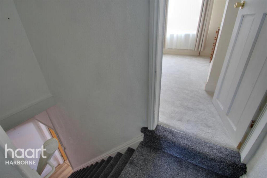
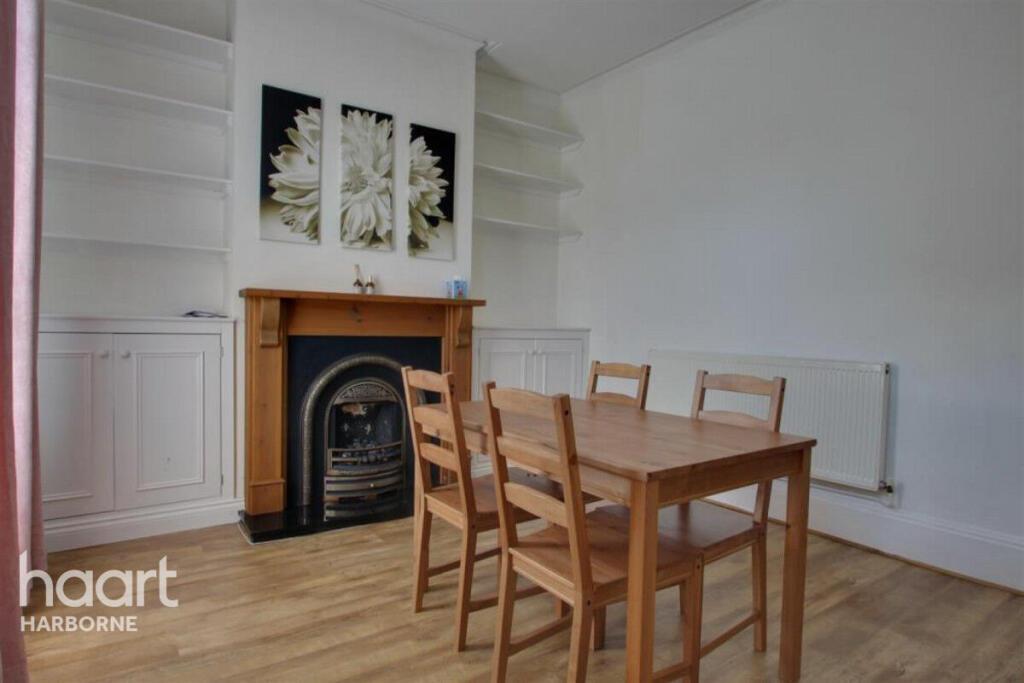
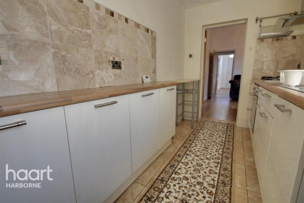
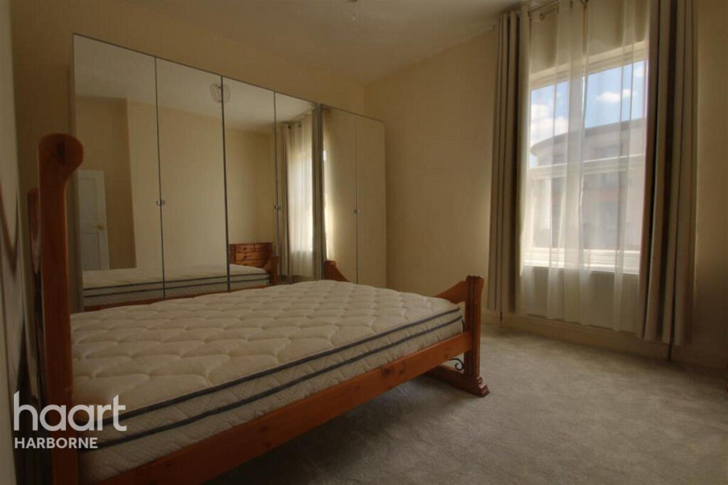
Images


Nearby Streets
| Name | Average Price | Average Sqft | Distance |
|---|---|---|---|
| Margaret Road | £ 933,333 | 0 | 0.00 KM |
| Vine Terrace | £ 328,750 | 0 | 0.00 KM |
| South Street | £ 378,000 | 0 | 0.00 KM |
| Eastway | £ 0 | 0 | 0.00 KM |
| Greenside | £ 290,000 | 0 | 0.00 KM |
Nearby Transport
| Name | NLC | TLC | Distance |
|---|---|---|---|
| University (Birmingham) | 4504 | UNI | 1.89 KM |
| Selly Oak | 1105 | SLY | 2.56 KM |
| Bournville | 1112 | BRV | 4.50 KM |
| Five Ways | 4503 | FWY | 4.56 KM |
| Smethwick Rolfe Street | 1150 | SMR | 4.70 KM |
Nearby Listings
| Address | Price | Type | Score | Distance |
|---|---|---|---|---|
| Birmingham B17 9 | £ 1,195 | RENT | Unknown | 0.00 KM |
| 266 High Street, Harborne, Birmingham, B17 | £ 1,250 | RENT | Unknown | 0.02 KM |
| High Street, Harborne, Birmingham, B17 9QG | £ 1,692 | RENT | Unknown | 0.05 KM |
| Harborne Central, 250 High Street, Birmingham, West Midlands, B17 | £ 975 | RENT | Unknown | 0.08 KM |
| Vivian Road, Harborne | £ 1,100 | RENT | Unknown | 0.08 KM |
Nearby Properties
| Address | Price | Distance |
|---|---|---|
| 235 High Street | £ 130,000 | 0.05 KM |
| 233 High Street | £ 175,000 | 0.07 KM |
| 221 High Street | £ 187,000 | 0.07 KM |
| 231 High Street | £ 259,000 | 0.07 KM |
| 229 High Street | £ 190,000 | 0.07 KM |