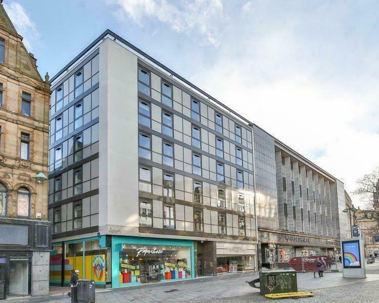
HC
Fargate, Sheffield, S1
By HC-GB
£ 695
HC-GB says ..
***NO DEPOSIT OPTION AVAILABLE ***BROADBAND INCLUDED ***3 MONTHS FREE ELECTRICITY
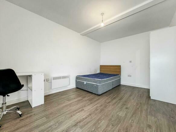
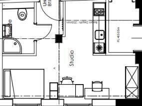
- Bedrooms
- 0
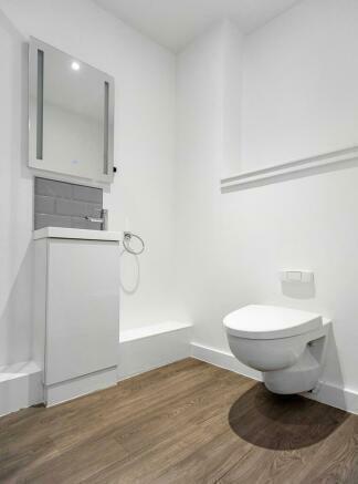
- Bathrooms
- 1
The heatmap indicates the level of crime in the area. The color of the heatmap indicates the crime severity and recency.
Metrics Year-on-Year
- Average area value
- 123,441.00 £Decreased by 13.64 %
- Average area rental value
- 1,222.00 £/moIncreased by 27.69 %
- Est rental Yield
- 11.88 %Increased by 47.95 %
- Crime Rate
- 33.00 %Unchanged by 0.00 %
from 142,936.00 £
from 957.00 £/mo
from 8.03 %
from 33.00 %
Agent Activity
HC-GB created the listing.
Nearby Schools
| Name | Type | Ofsted | Distance |
|---|---|---|---|
| Sheffield Hallam University | Higher Education Institutions | Requires improvement | 0.38 KM |
| Freeman College | Special Post 16 Institution | Good | 0.53 KM |
| Utc Sheffield City Centre | University Technical College | Good | 0.75 KM |
| Grace Owen Nursery School | Local Authority Nursery School | Good | 1.08 KM |
| Astrea Academy Sheffield | Free Schools | 1.26 KM |
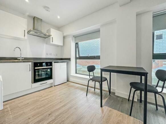
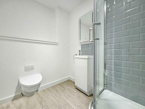
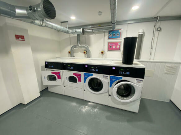
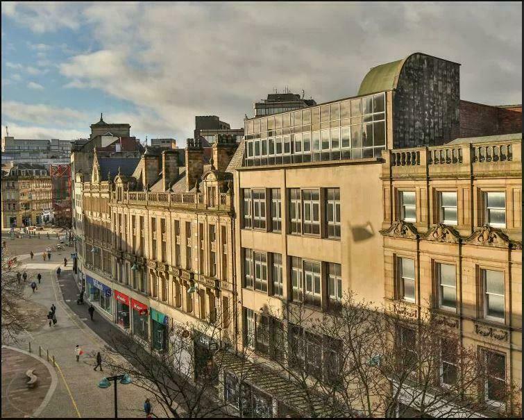
Images

Nearby Streets
| Name | Average Price | Average Sqft | Distance |
|---|---|---|---|
| Surrey Street | £ 0 | 0 | 0.00 KM |
| Orchard Square | £ 90,000 | 0 | 0.00 KM |
| Paradise Street | £ 0 | 0 | 0.00 KM |
| Esperanto Place | £ 0 | 0 | 0.00 KM |
| Saint James' Street | £ 0 | 0 | 0.00 KM |
Nearby Transport
| Name | NLC | TLC | Distance |
|---|---|---|---|
| Sheffield | 6691 | SHF | 0.80 KM |
| Darnall | 6729 | DAN | 6.16 KM |
| Meadowhall | 6663 | MHS | 7.29 KM |
| Dore And Totley | 6690 | DOR | 7.98 KM |
| Chapeltown (South Yorkshire) | 6664 | CLN | 8.94 KM |
Nearby Listings
| Address | Price | Type | Score | Distance |
|---|---|---|---|---|
| Fargate, Sheffield, S1 | £ 900 | RENT | Unknown | 0.00 KM |
| Fargate, Sheffield, S1 | £ 675 | RENT | Unknown | 0.00 KM |
| Fargate, Sheffield, S1 | £ 780 | RENT | Unknown | 0.00 KM |
| Fargate, Sheffield, S1 | £ 750 | RENT | Unknown | 0.00 KM |
| Fargate, Sheffield, S1 | £ 695 | RENT | Unknown | 0.00 KM |
Nearby Properties
| Address | Price | Distance |
|---|---|---|
| 1 St Peters Close | £ 204,125 | 0.23 KM |
| 42 Bank Street | £ 10,000 | 0.29 KM |
| 66 Arundel Street | £ 131,000 | 0.50 KM |
| 45 Eyre Lane | £ 110,000 | 0.51 KM |
| 41 Eyre Lane | £ 113,000 | 0.51 KM |