BU
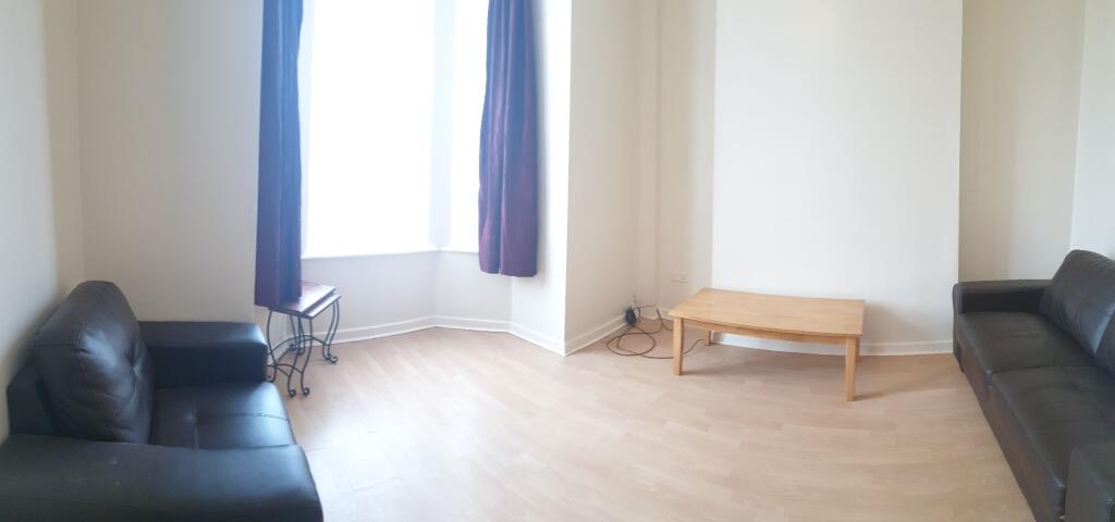
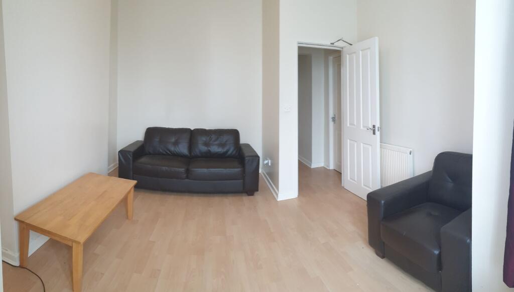
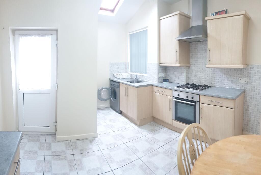
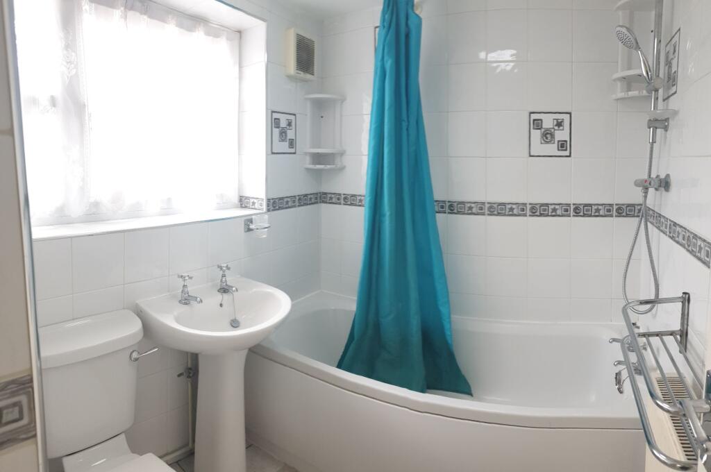
Slade Lane, Manchester
By Buraq Estates
£ 700
Buraq Estates says ..
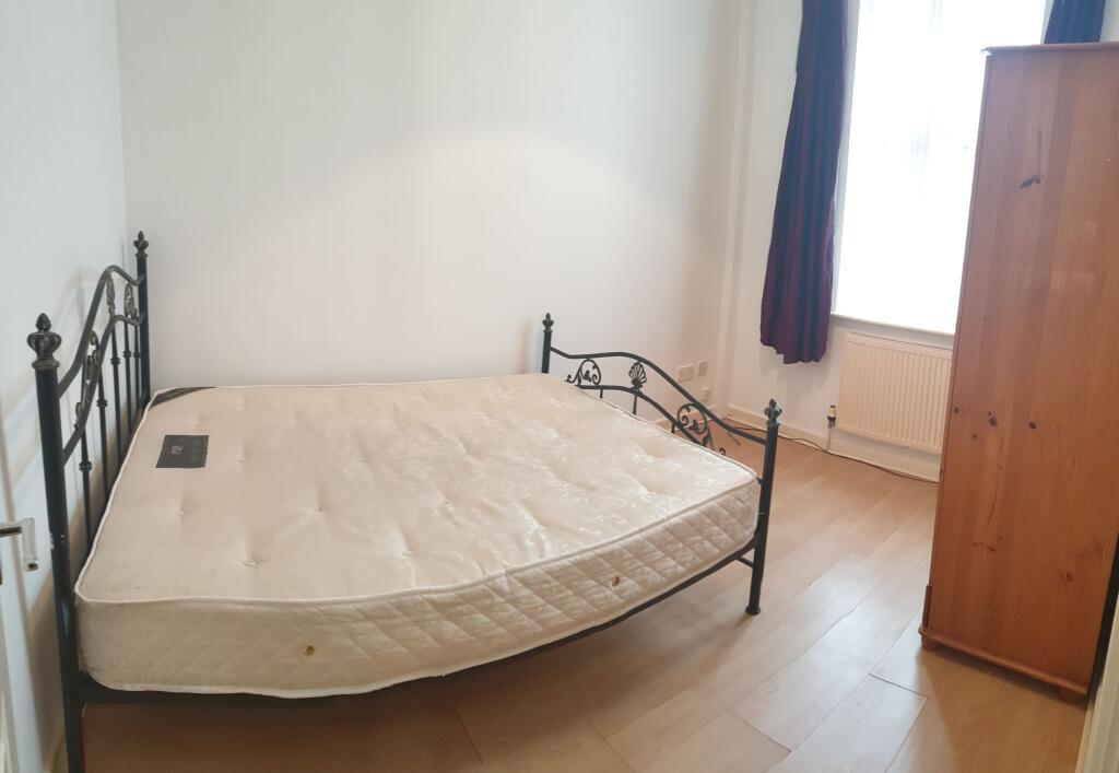
1 Bedroom Property - £700 pcm 1 spacious bedroom 1 bathroom Easy access to the city centre
- Bedrooms
- 1
- Bathrooms
- 1
The heatmap indicates the level of crime in the area. The color of the heatmap indicates the crime severity and recency.
Metrics Year-on-Year
- Average area value
- 480,222.00 £Decreased by 47.72 %
- Average area rental value
- 1,868.00 £/moIncreased by 9.11 %
- Est rental Yield
- 4.67 %Increased by 108.48 %
- Crime Rate
- 0.00 %
from 918,539.00 £
from 1,712.00 £/mo
from 2.24 %
from 0.00 %
Agent Activity
Buraq Estates created the listing.
Nearby Schools
| Name | Type | Ofsted | Distance |
|---|---|---|---|
| St Agnes C Of E Primary School | Voluntary Controlled School | Requires improvement | 0.47 KM |
| Longsight Community Primary | Free Schools | Good | 0.48 KM |
| Longsight Sure Start Children'S Centre | Children's Centre | 0.48 KM | |
| Stanley Grove Primary Academy | Academy Sponsor Led | Good | 0.48 KM |
| Rodney House School | Community Special School | Outstanding | 0.73 KM |
Images

Nearby Streets
| Name | Average Price | Average Sqft | Distance |
|---|---|---|---|
| Stockport Road | £ 200,000 | 0 | 0.00 KM |
| Farrer Road | £ 0 | 0 | 0.00 KM |
| Turnbull Road | £ 0 | 0 | 0.00 KM |
| Montgomery Road | £ 0 | 0 | 0.00 KM |
| Hetherington Walk | £ 0 | 0 | 0.00 KM |
Nearby Transport
| Name | NLC | TLC | Distance |
|---|---|---|---|
| Levenshulme | 2862 | LVM | 1.06 KM |
| Belle Vue | 2785 | BLV | 2.12 KM |
| Ashburys | 2941 | ABY | 2.13 KM |
| Mauldeth Road | 2867 | MAU | 2.57 KM |
| Ryder Brow | 2977 | RRB | 2.68 KM |
Nearby Listings
| Address | Price | Type | Score | Distance |
|---|---|---|---|---|
| Slade Lane, Manchester | £ 700 | RENT | Unknown | 0.00 KM |
| Stockport Road, Manchester, M12 | £ 2,500 | RENT | Unknown | 0.14 KM |
| Flat 3, Duncan Road, M13 0GF | £ 1,100 | RENT | Unknown | 0.14 KM |
| Flat 1 Duncan Road M13 0GF | £ 1,100 | RENT | Unknown | 0.14 KM |
| Off Hamilton Road, Manchester, M13 | £ 550 | RENT | Unknown | 0.18 KM |
Nearby Properties
| Address | Price | Distance |
|---|---|---|
| 52 Slade Lane | £ 93,000 | 0.03 KM |
| 58 Slade Lane | £ 115,000 | 0.03 KM |
| 50 Slade Lane | £ 150,000 | 0.03 KM |
| 54 Slade Lane | £ 56,000 | 0.03 KM |
| 19 Slade Lane | £ 145,000 | 0.05 KM |