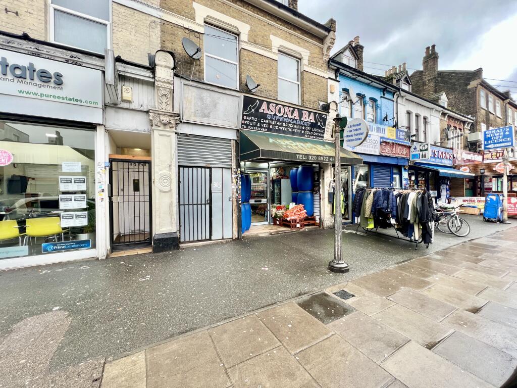

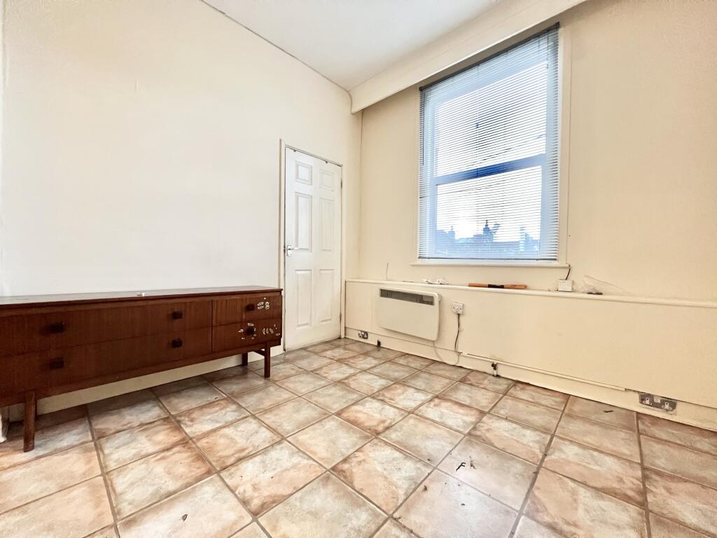
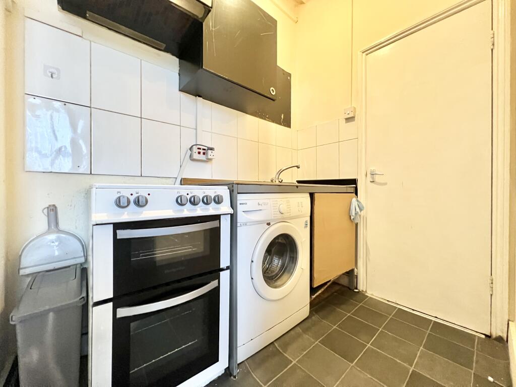
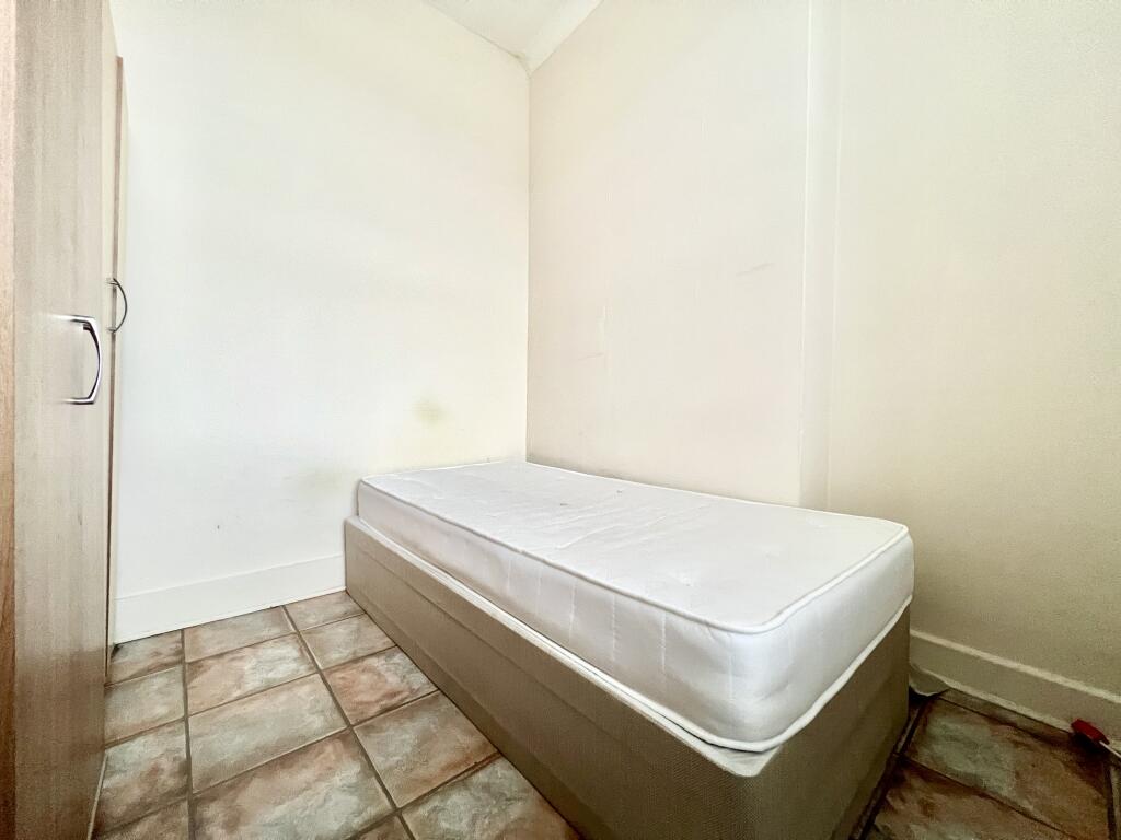
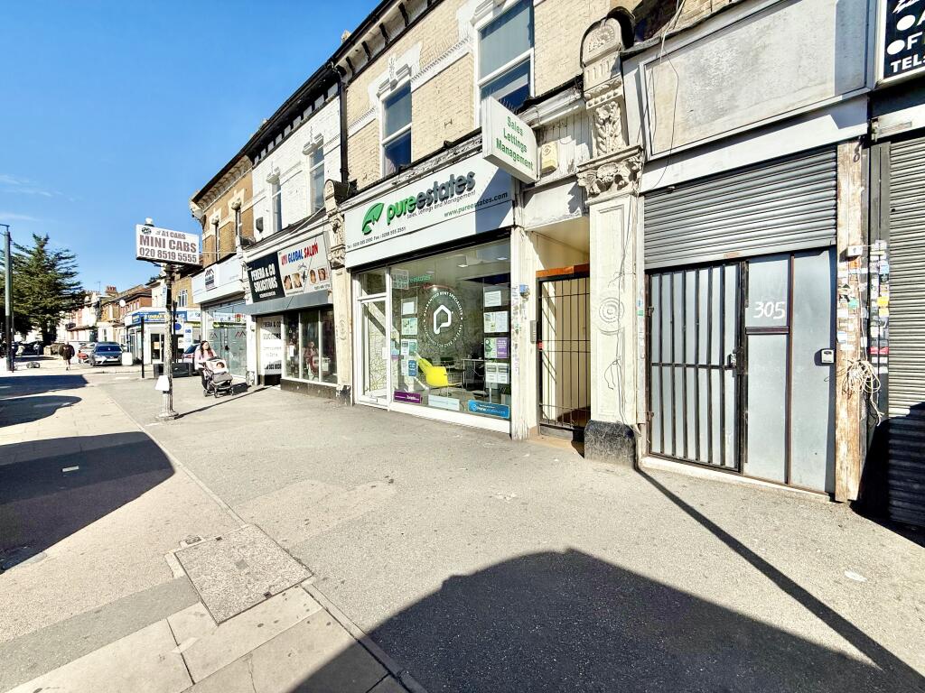
Romford Road, Manor Park E7
By Steed Estates
£ 1,350
Steed Estates says ..
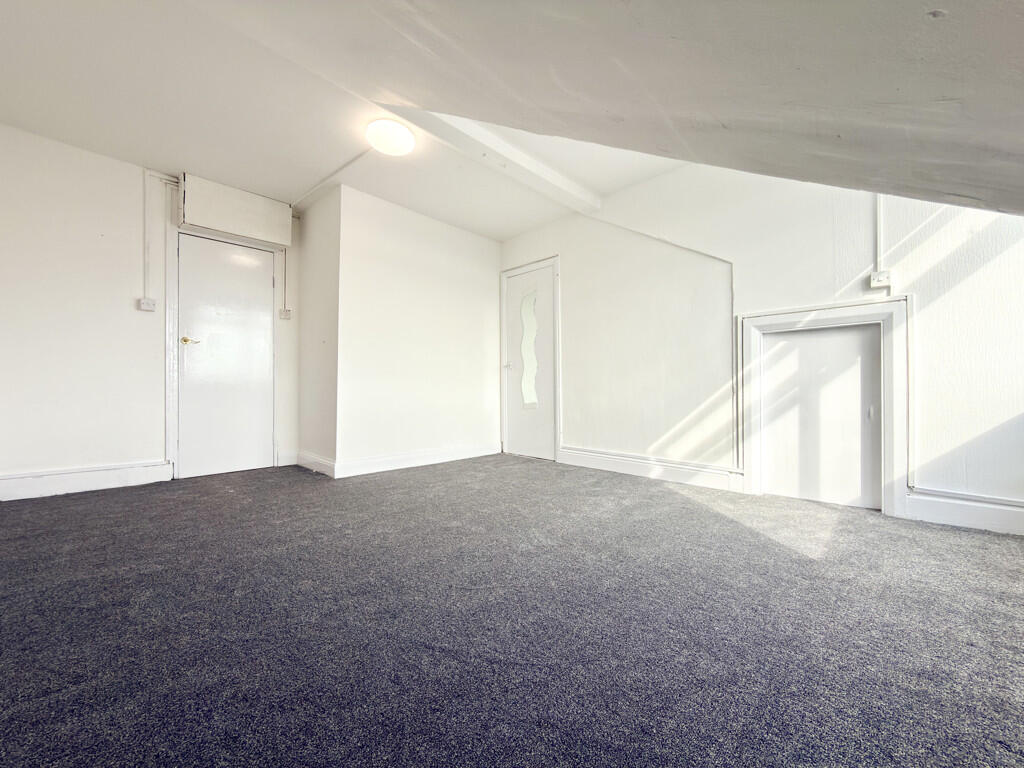
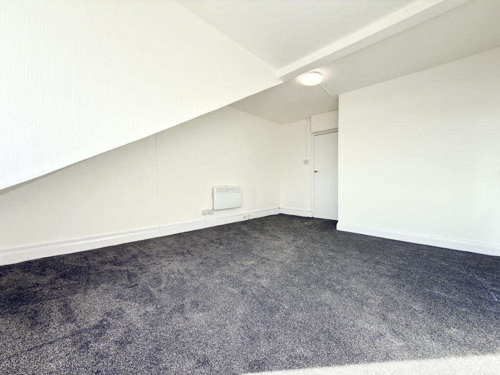
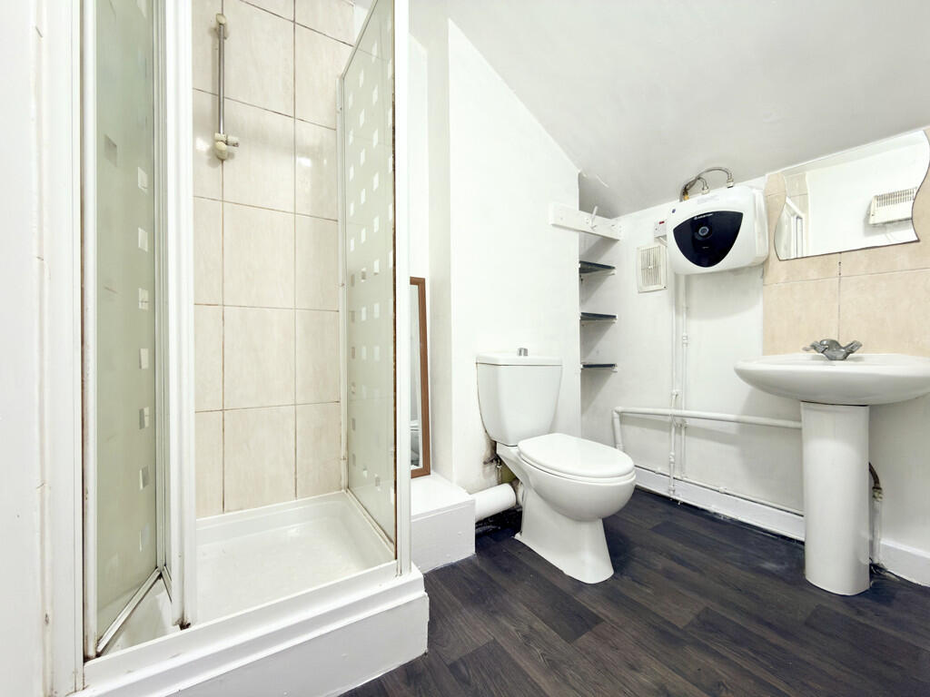
One Bedroom Flat - Romford Road, Manor Park E7
- Bedrooms
- 1
- Bathrooms
- 1
The heatmap indicates the level of crime in the area. The color of the heatmap indicates the crime severity and recency.
Metrics Year-on-Year
- Average area value
- 534,167.00 £Increased by 13.39 %
- Average area rental value
- 1,996.00 £/moDecreased by 1.19 %
- Est rental Yield
- 4.48 %Decreased by 13.01 %
- Crime Rate
- 13.00 %Unchanged by 0.00 %
from 471,088.00 £
from 2,020.00 £/mo
from 5.15 %
from 13.00 %
Agent Activity
Steed Estates created the listing.
Nearby Schools
| Name | Type | Ofsted | Distance |
|---|---|---|---|
| Quwwat Ul Islam Girls' School | Other Independent School | Inadequate | 0.24 KM |
| Kay Rowe Nursery School | Local Authority Nursery School | Outstanding | 0.33 KM |
| Forest Gate Community School | Academy Converter | 0.38 KM | |
| Azhar Academy Girls School | Other Independent School | Good | 0.41 KM |
| Kay Rowe Children'S Centre | Children's Centre | 0.51 KM |
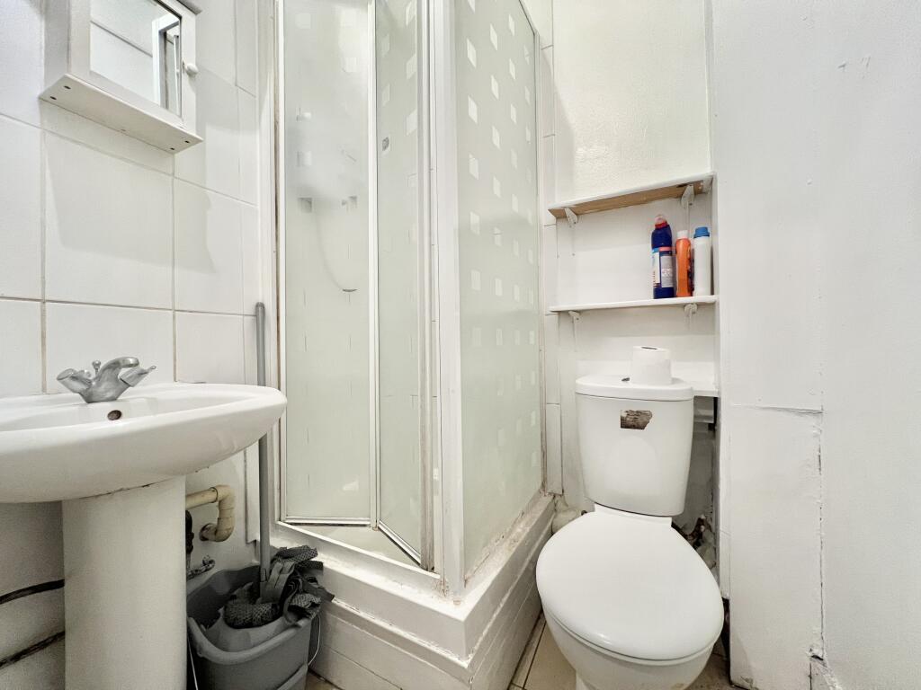
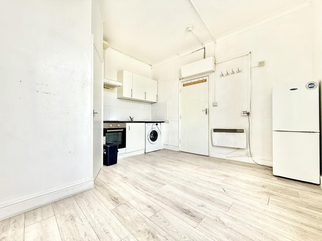
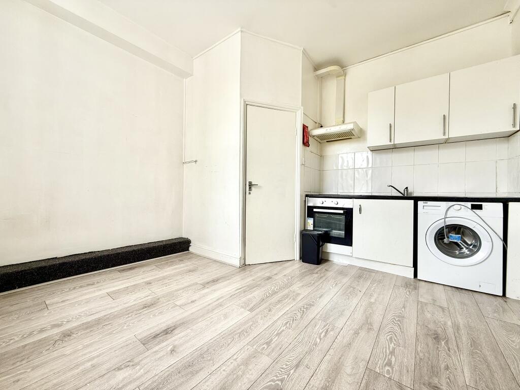
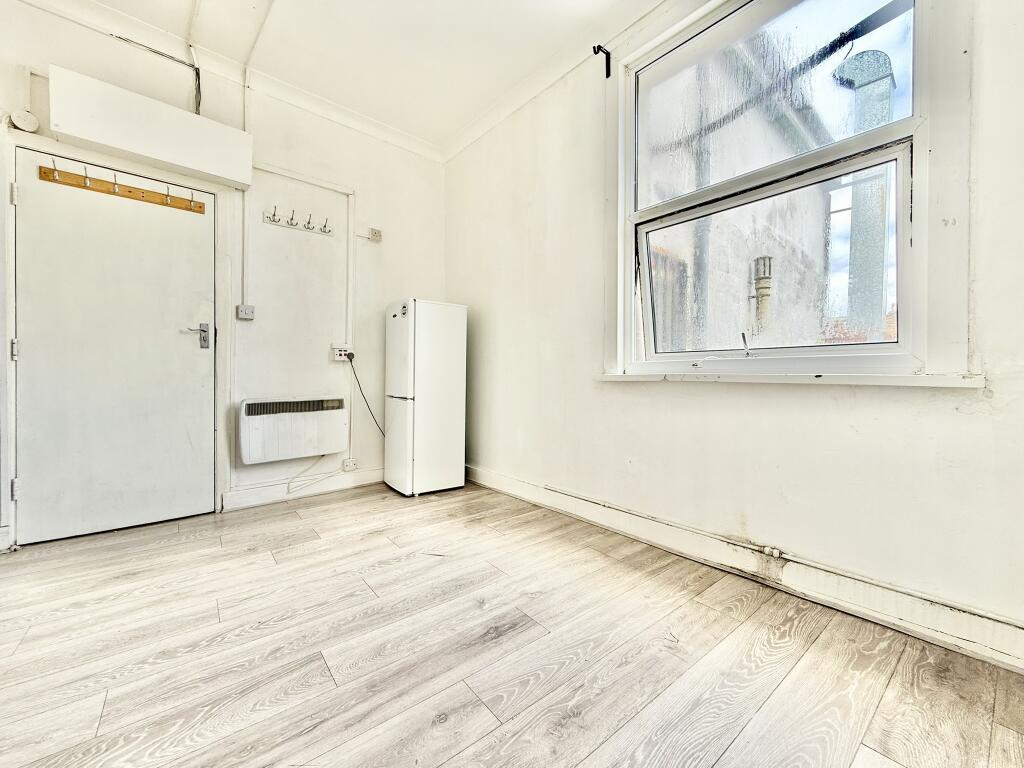
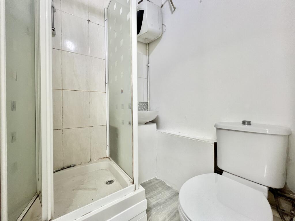
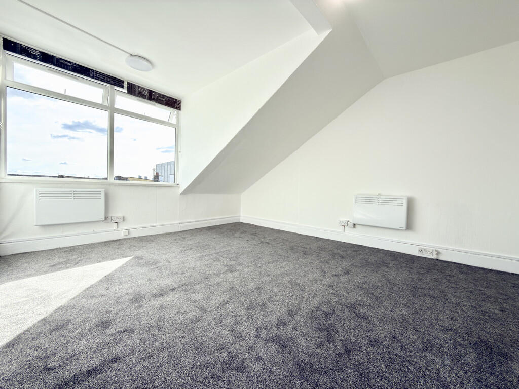
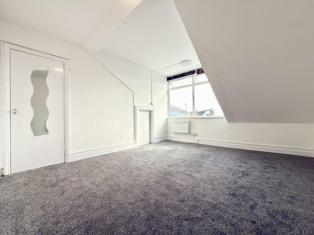
Images


Nearby Streets
| Name | Average Price | Average Sqft | Distance |
|---|---|---|---|
| Wells Walk | £ 0 | 0 | 0.00 KM |
| Neagle Lane | £ 0 | 0 | 0.00 KM |
| Adams Walk | £ 122,500 | 0 | 0.00 KM |
| Post Office Approach | £ 0 | 0 | 0.00 KM |
| Westbury Road | £ 253,333 | 0 | 0.00 KM |
Nearby Transport
| Name | NLC | TLC | Distance |
|---|---|---|---|
| Forest Gate | 6876 | FOG | 0.33 KM |
| Wanstead Park | 7408 | WNP | 0.63 KM |
| Maryland | 6970 | MYL | 2.02 KM |
| Woodgrange Park | 7467 | WGR | 2.27 KM |
| Manor Park | 6883 | MNP | 2.55 KM |
Nearby Listings
| Address | Price | Type | Score | Distance |
|---|---|---|---|---|
| Romford Road, Forest Gate E7 | £ 1,000 | RENT | Unknown | 0.00 KM |
| Romford Road, Manor Park E7 | £ 1,350 | RENT | Unknown | 0.00 KM |
| Romford Road | £ 800 | RENT | Unknown | 0.07 KM |
| Woodgrange Road, Forest Gate, London, E7 | £ 3,500 | RENT | Unknown | 0.07 KM |
| Woodgrange Road, Forest Gate, London, E7 | £ 3,500 | RENT | Unknown | 0.07 KM |
Nearby Properties
| Address | Price | Distance |
|---|---|---|
| 321a Romford Road | £ 450,000 | 0.00 KM |
| 13a Woodgrange Road | £ 130,000 | 0.14 KM |
| 7 Sprowston Road | £ 110,000 | 0.15 KM |
| 10 Sprowston Road | £ 170,000 | 0.15 KM |
| 11 Sprowston Road | £ 1,500,000 | 0.15 KM |