
Riversdale Road, Collier Row, RM5
By Keystones Property
£ 425,000
Reviews
3 out of 5 stars
Keystones Property says ..
*GUIDE PRICE - £425,000 - £450,000* JUST 0.2 Miles from COLLIER ROW RD, Superstores, post office and restaurants all walking distance! This location is perfect for a growing family. THREE DOUBLE BEDROOMS, separate dining area and outhouse all included
Property Oracle says ..
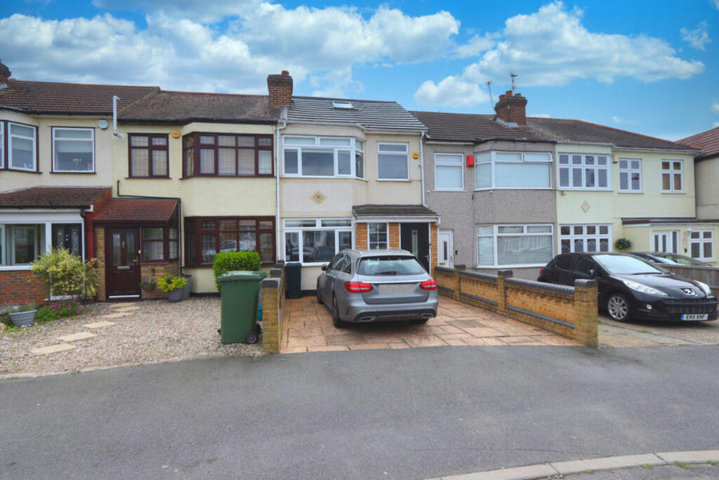
This three-bedroom terraced house on Riversdale Road, Collier Row, is located in the RM5 postcode area of Havering, Greater London. The property benefits from being close to several primary schools with good Ofsted ratings, including St Patrick’s Catholic Primary School and Clockhouse Primary School, both within a kilometre. Transportation links are also relatively convenient, with Romford station approximately 3.88km away, offering connections via TfL Rail.
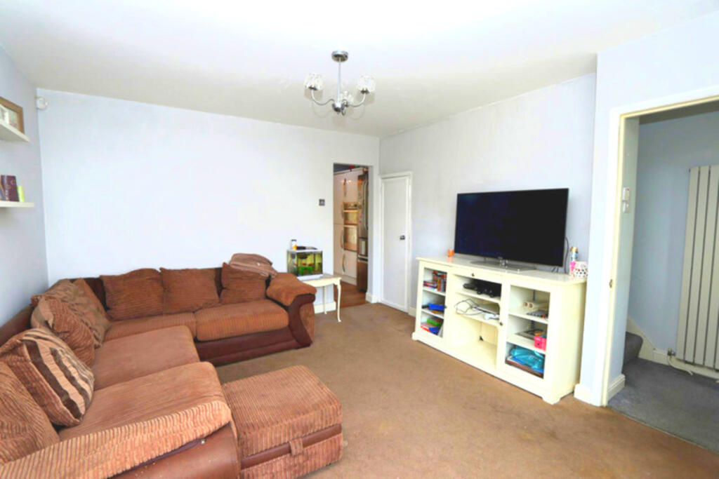
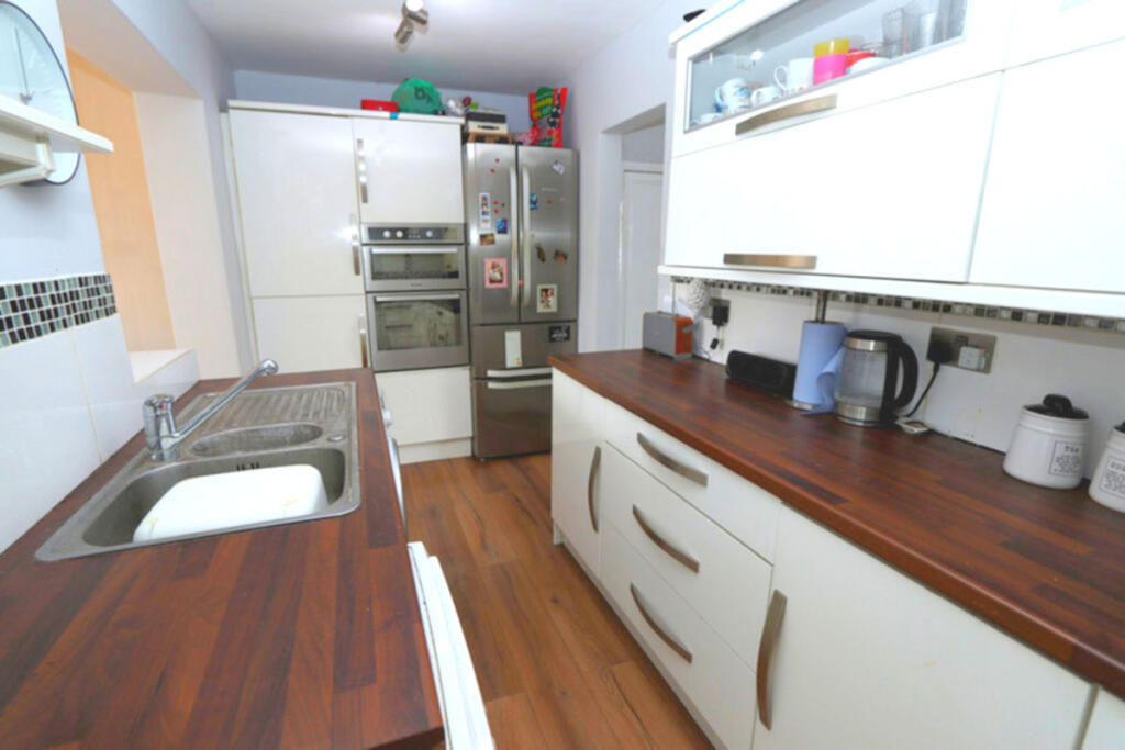
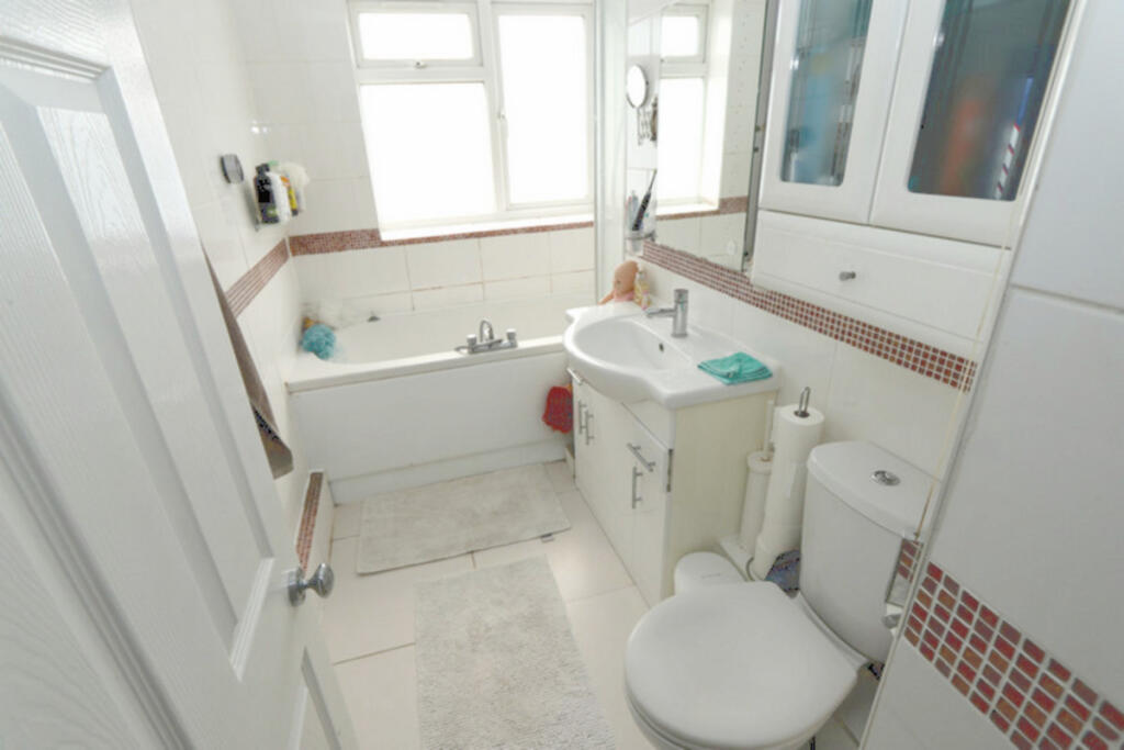
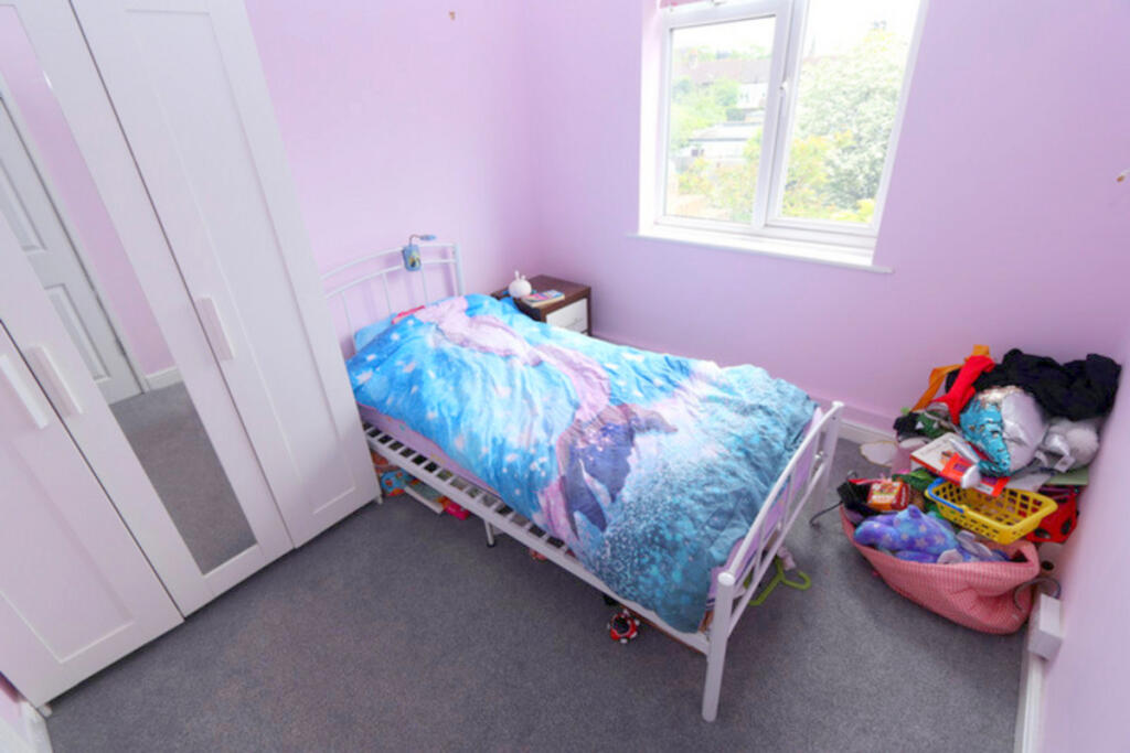
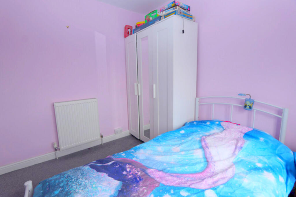
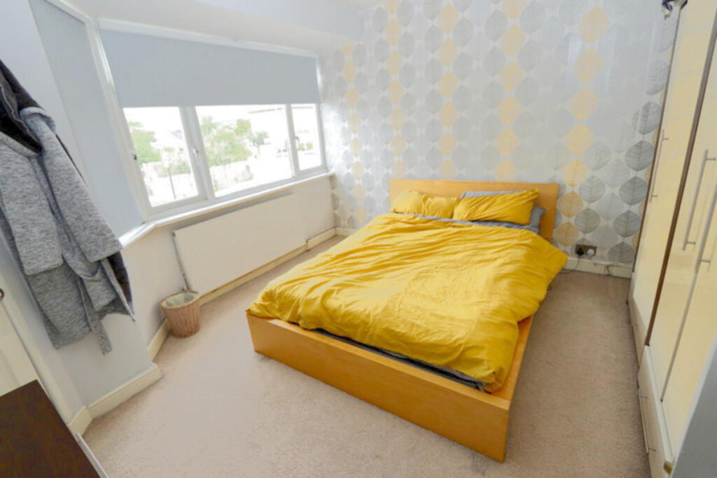
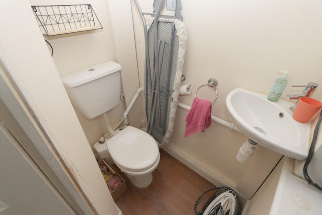
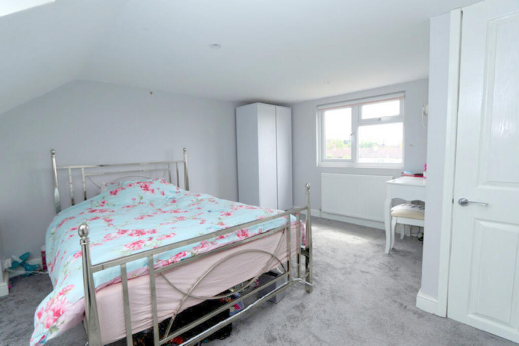
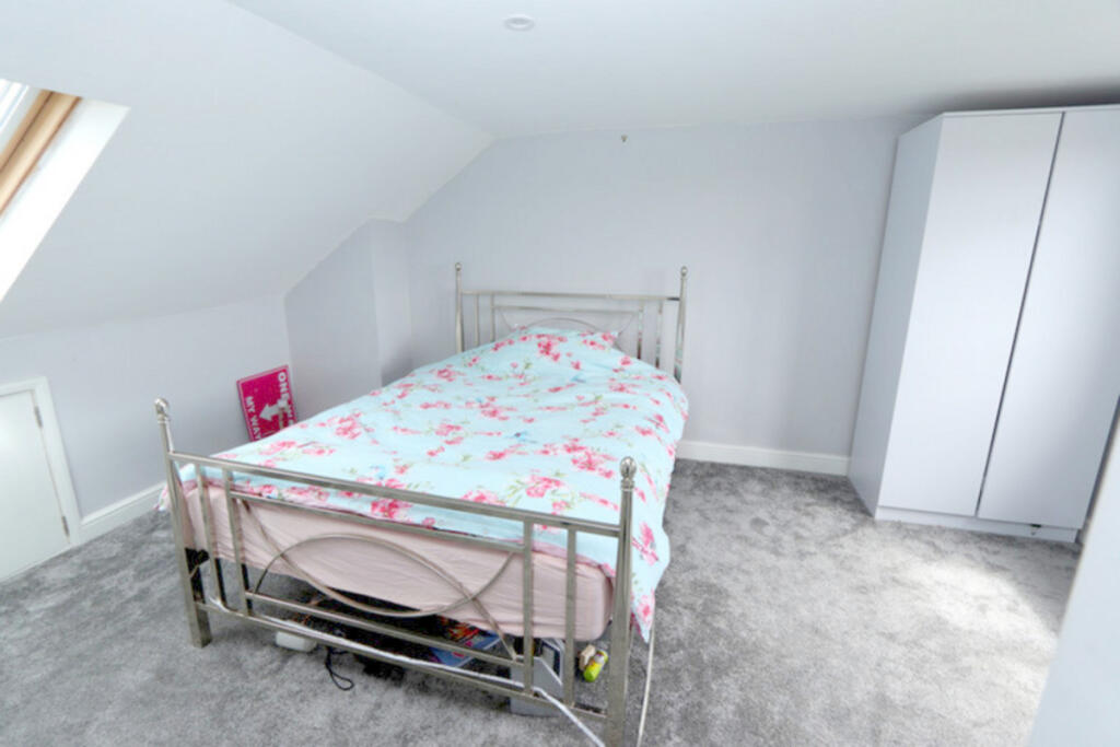
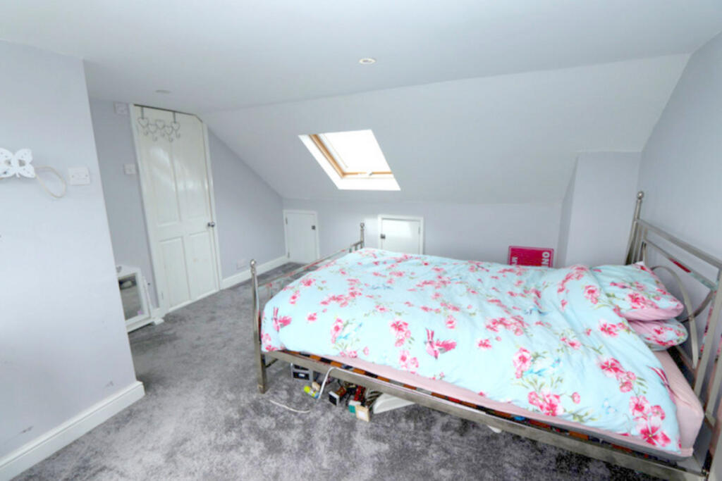
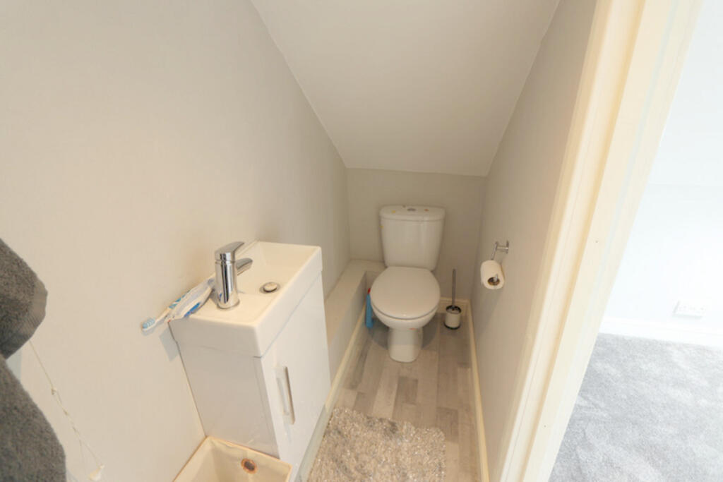
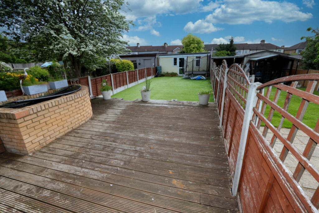
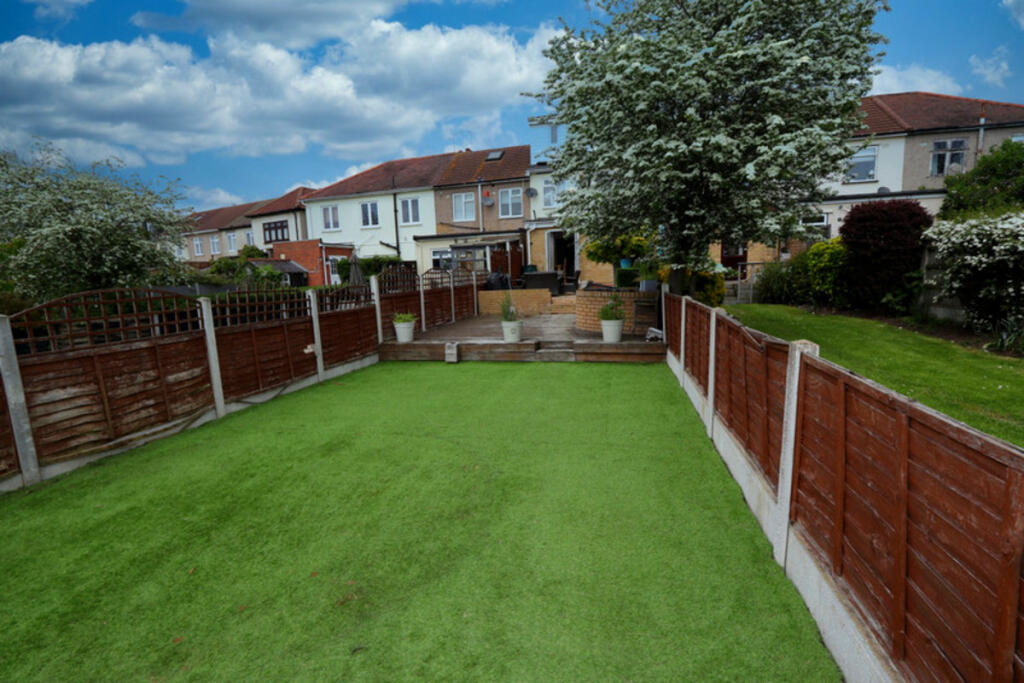
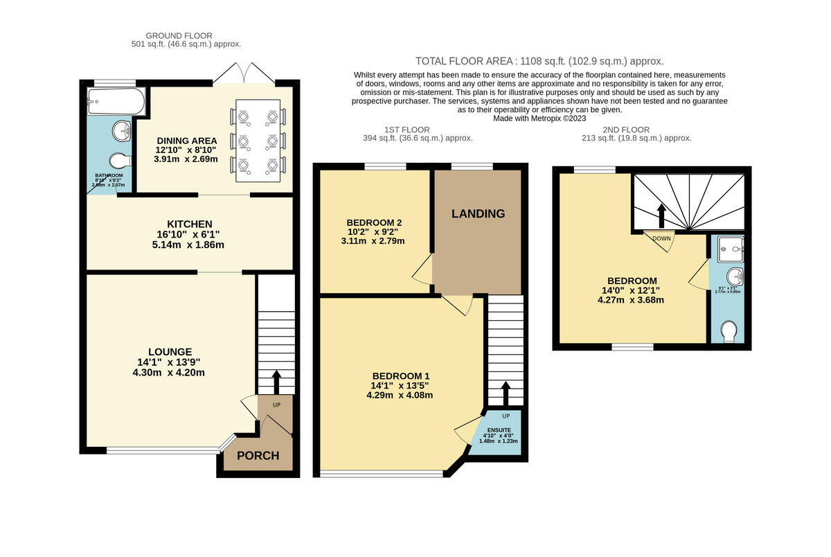
The property itself appears to be in reasonable condition, though some minor cosmetic updates might enhance its appeal. The kitchen and bathrooms seem reasonably modern, while the bedrooms present a lived-in appearance. The garden is of a modest size, with a decked area and artificial turf. The property’s size, at 930 sqft, is smaller than the average for the area (1125 sqft).
Considering the average price per sqft in the area is £400, and the list price of this property is £425,000, the price seems slightly above average, given its smaller size and the overall condition. However, the proximity to good schools and relatively convenient transport links could partially justify the higher price per sqft. More detailed information on the property’s condition and any potential structural issues would be needed for a more conclusive price assessment.
Therefore, we give this property 6 / 10. *Disclaimer: This is our option and does constitute a recommendation or financial advice. Do your own research. *
- Price
- 6
- Condition
- 7
- Location
- 7
- Land
- 6
- Bedrooms
- 3
- Bathrooms
- 1
- Sqft (est)
- 930.00
- Lot (est)
- 501.00
The heatmap indicates the level of crime in the area. The color of the heatmap indicates the crime severity and recency.
Metrics Year-on-Year
- Average area value
- 400,731.00 £Decreased by 13.42 %
- Est sale value
- 366,420.00 £Decreased by 7.51 %
- Average area rental value
- 1,775.00 £/moDecreased by 10.49 %
- Est letting value
- 930.00 £/moUnchanged by 0.00 %
- Est rental Yield
- 5.32 %Increased by 3.50 %
- Crime Rate
- 7.00 %Unchanged by 0.00 %
Agent Activity
Keystones Property created the listing.
Nearby Schools
| Name | Type | Ofsted | Distance |
|---|---|---|---|
| St Patrick'S Catholic Primary School | Voluntary Aided School | Good | 0.44 KM |
| Collier Row Children'S Centre | Children's Centre | 0.61 KM | |
| Clockhouse Primary School | Community School | Good | 0.62 KM |
| Crownfield Junior School | Community School | Good | 1.00 KM |
| Crownfield Infant School | Community School | Good | 1.00 KM |
Images


Nearby Streets
| Name | Average Price | Average Sqft | Distance |
|---|---|---|---|
| Ash Close | £ 0 | 0 | 0.00 KM |
| Westwode Close | £ 0 | 0 | 0.00 KM |
| Lynwood Close | £ 0 | 0 | 0.00 KM |
| Elizabeth Close | £ 0 | 0 | 0.00 KM |
| Aragon Close | £ 0 | 0 | 0.00 KM |
Nearby Transport
| Name | NLC | TLC | Distance |
|---|---|---|---|
| Romford | 6886 | RMF | 3.88 KM |
| Chadwell Heath | 6874 | CTH | 4.89 KM |
| Gidea Park | 6877 | GDP | 5.57 KM |
| Goodmayes | 6878 | GMY | 6.58 KM |
| Emerson Park | 7473 | EMP | 7.60 KM |
Nearby Listings
| Address | Price | Type | Score | Distance |
|---|---|---|---|---|
| Riversdale Road, Collier Row, RM5 | £ 425,000 | BUY | 6 / 10 | 0.00 KM |
| Riversdale Road, Essex, RM5 | £ 400,000 | BUY | Unknown | 0.01 KM |
| Eaton Drive, Romford | £ 400,000 | BUY | Unknown | 0.08 KM |
| Eaton Drive, Romford, RM5 | £ 430,000 | BUY | 6 / 10 | 0.10 KM |
| Carter Drive, Romford, RM5 | £ 450,000 | BUY | Unknown | 0.10 KM |
Nearby Properties
| Address | Price | Distance |
|---|---|---|
| 3 Eaton Drive | £ 325,000 | 0.10 KM |
| 39 Eaton Drive | £ 220,000 | 0.10 KM |
| 21 Eaton Drive | £ 113,000 | 0.10 KM |
| 47 Eaton Drive | £ 380,000 | 0.10 KM |
| 5 Eaton Drive | £ 205,000 | 0.10 KM |