MA
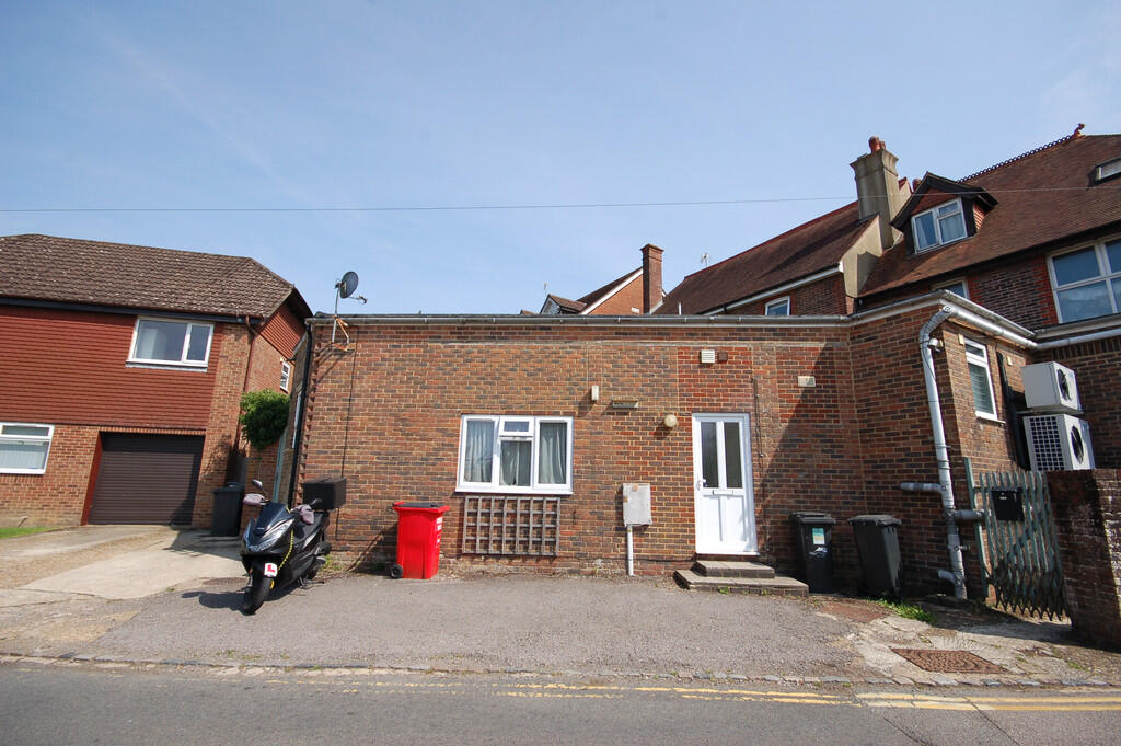
Church Road, Buxted
By Martin & Co
£ 650
Martin & Co says ..
Property located in Church Road, Buxted
- Bedrooms
- 0
- Bathrooms
- 1
The heatmap indicates the level of crime in the area. The color of the heatmap indicates the crime severity and recency.
Metrics Year-on-Year
- Average area value
- 1,332,494.00 £Increased by 19.68 %
- Average area rental value
- 1,800.00 £/moDecreased by 54.11 %
- Est rental Yield
- 1.62 %Decreased by 61.70 %
- Crime Rate
- 106.00 %Unchanged by 0.00 %
from 1,113,335.00 £
from 3,922.00 £/mo
from 4.23 %
from 106.00 %
Agent Activity
Martin & Co created the listing.
Nearby Schools
| Name | Type | Ofsted | Distance |
|---|---|---|---|
| Buxted Cofe Primary School | Voluntary Controlled School | Good | 2.00 KM |
| Framfield Church Of England Primary School | Voluntary Aided School | Good | 2.92 KM |
| High Hurstwood Church Of England Primary School | Voluntary Controlled School | Outstanding | 2.96 KM |
| Manor Primary School | Community School | Good | 3.70 KM |
| Uckfield College | Community School | Good | 4.17 KM |
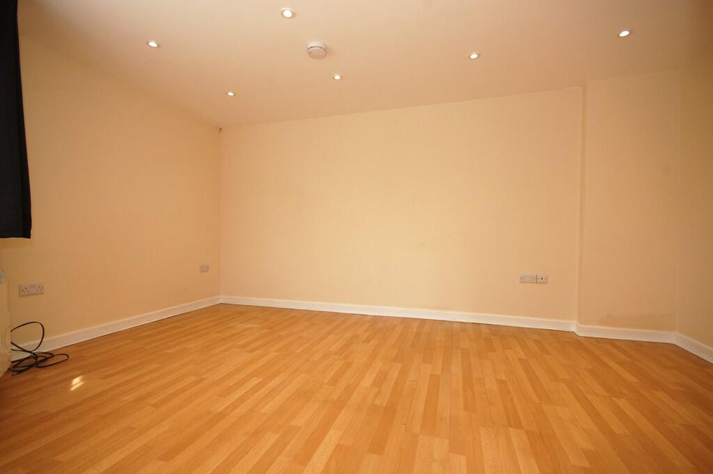
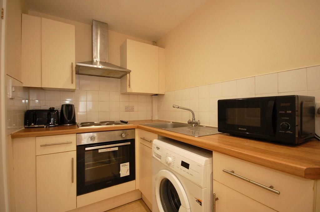
Images


Nearby Streets
| Name | Average Price | Average Sqft | Distance |
|---|---|---|---|
| Broad Oak | £ 0 | 0 | 0.00 KM |
| Elizabeth Gardens | £ 0 | 0 | 0.00 KM |
| St. Raphaels | £ 750,000 | 0 | 0.00 KM |
| Etchingwood Lane | £ 800,000 | 0 | 0.00 KM |
Nearby Transport
| Name | NLC | TLC | Distance |
|---|---|---|---|
| Buxted | 5324 | BXD | 0.55 KM |
| Uckfield | 5334 | UCK | 5.05 KM |
| Crowborough | 5325 | COH | 8.44 KM |
Nearby Listings
| Address | Price | Type | Score | Distance |
|---|---|---|---|---|
| Church Road, Buxted | £ 650 | RENT | Unknown | 0.00 KM |
| High Street, Buxted | £ 900 | RENT | Unknown | 0.00 KM |
| Queenstock Lane, BUXTED | £ 1,200 | RENT | Unknown | 0.39 KM |
| Queenstock Lane, TN22 | £ 1,550 | RENT | Unknown | 0.47 KM |
| Elizabeth Gardens Queenstock Lane, TN22 | £ 1,495 | RENT | Unknown | 0.47 KM |
Nearby Properties
| Address | Price | Distance |
|---|---|---|
| South Ridge | £ 547,000 | 0.02 KM |
| Billeen | £ 294,000 | 0.02 KM |
| Cortina | £ 600,000 | 0.02 KM |
| Little Brambles | £ 325,000 | 0.02 KM |
| Bells Cottage | £ 535,000 | 0.02 KM |