IA
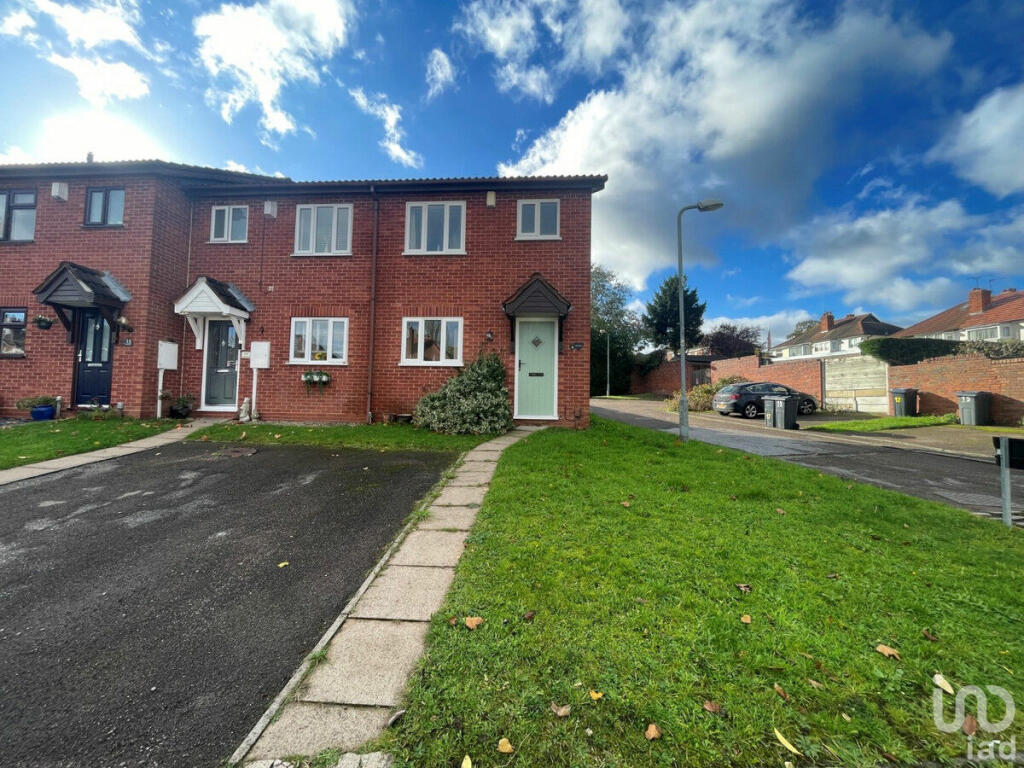
The Grove, Birmingham, B31
By IAD
£ 185,000
IAD says ..
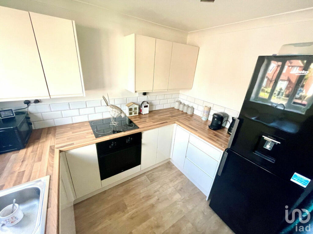
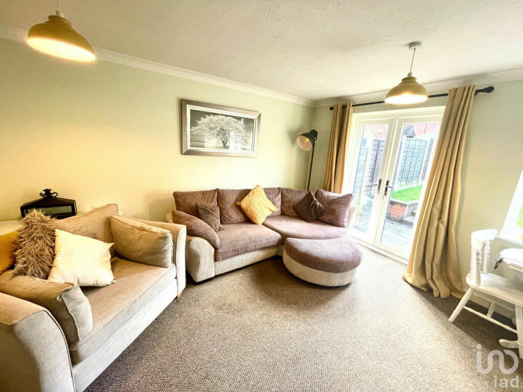
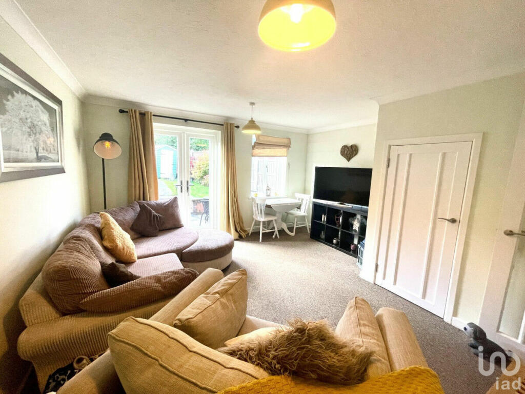
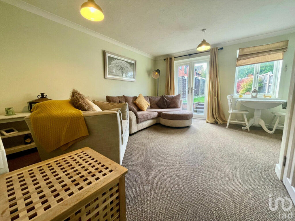
Looking for your dream home? Look no further!
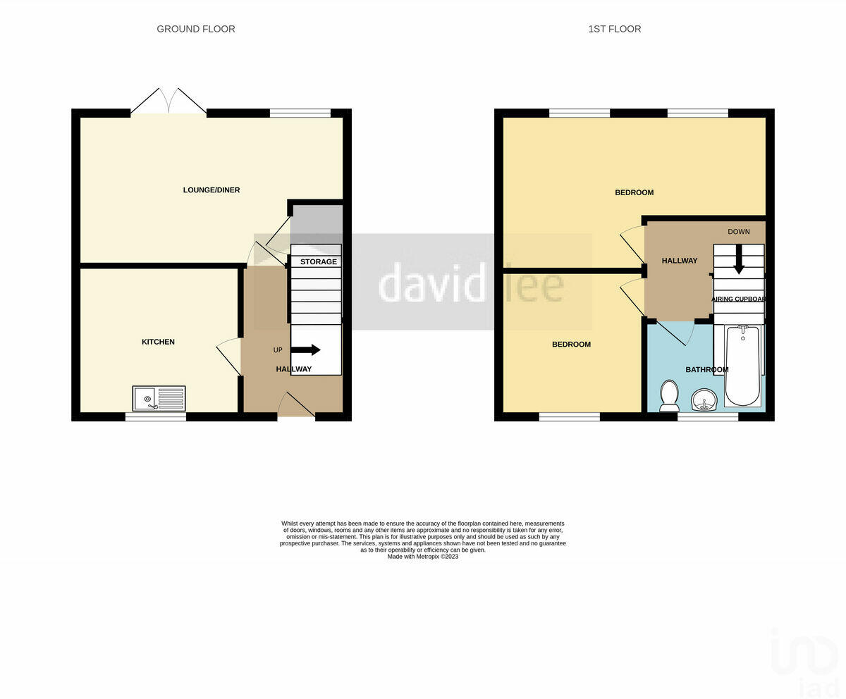
- Bedrooms
- 2
- Bathrooms
- 1
The heatmap indicates the level of crime in the area. The color of the heatmap indicates the crime severity and recency.
Metrics Year-on-Year
- Average area value
- 221,400.00 £Decreased by 7.85 %
- Average area rental value
- 1,122.00 £/moIncreased by 12.88 %
- Est rental Yield
- 6.08 %Increased by 22.58 %
- Crime Rate
- 8.00 %Unchanged by 0.00 %
from 240,248.00 £
from 994.00 £/mo
from 4.96 %
from 8.00 %
Agent Activity
IAD created the listing.
Nearby Schools
| Name | Type | Ofsted | Distance |
|---|---|---|---|
| St John Fisher Catholic Primary School | Academy Converter | 0.31 KM | |
| West Heath Primary School | Community School | Good | 0.58 KM |
| West Heath Nursery School | Local Authority Nursery School | Good | 0.63 KM |
| Merrishaw Albert Bradbeer Children'S Centre | Children's Centre Linked Site | 0.67 KM | |
| New Ways School | Other Independent School | Good | 1.08 KM |
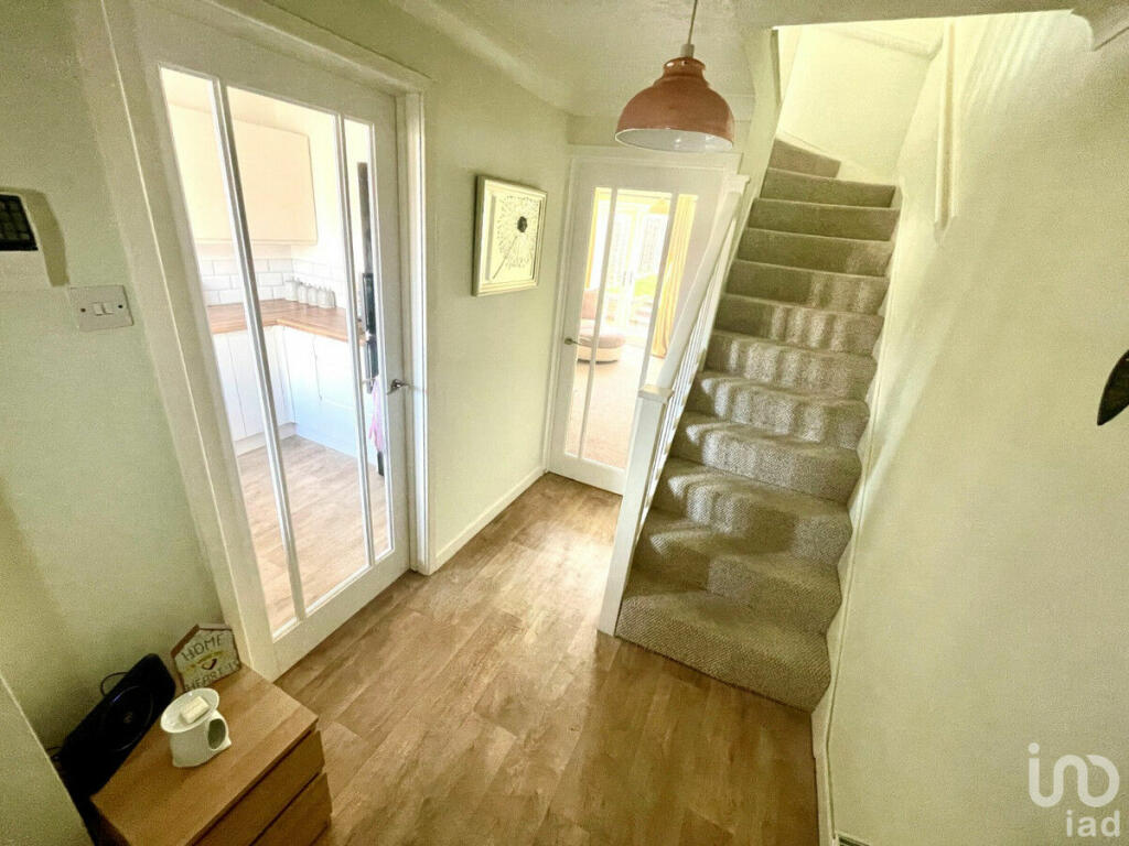
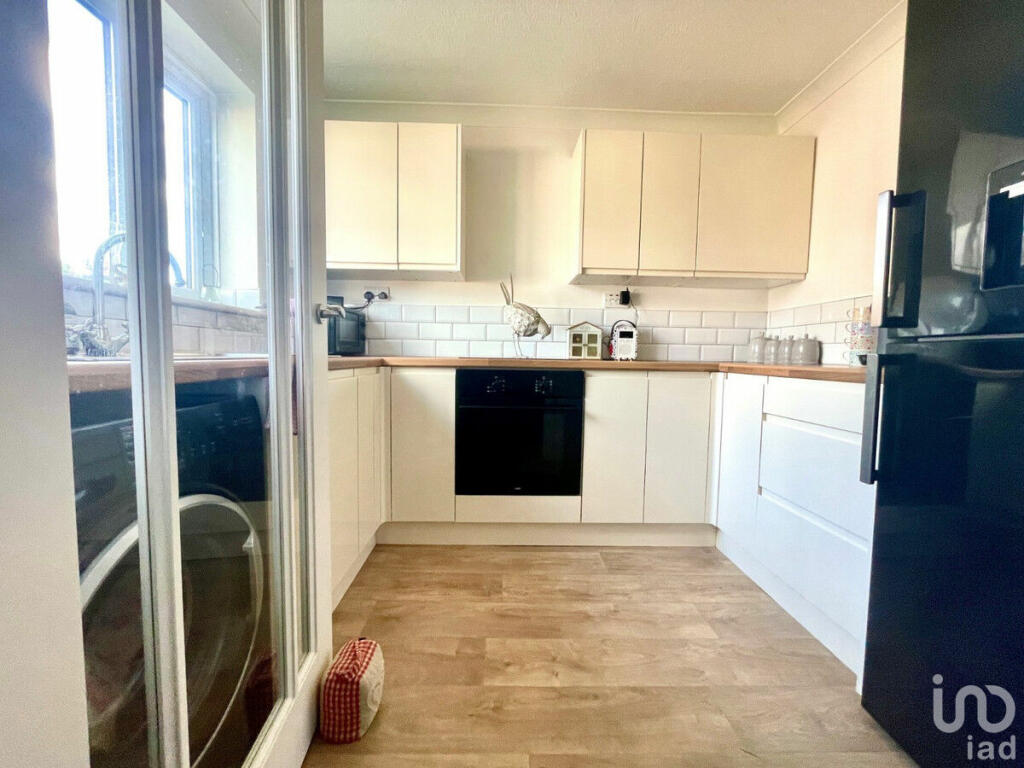
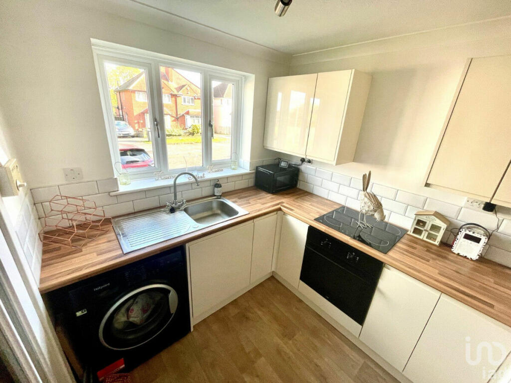
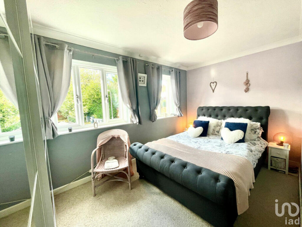
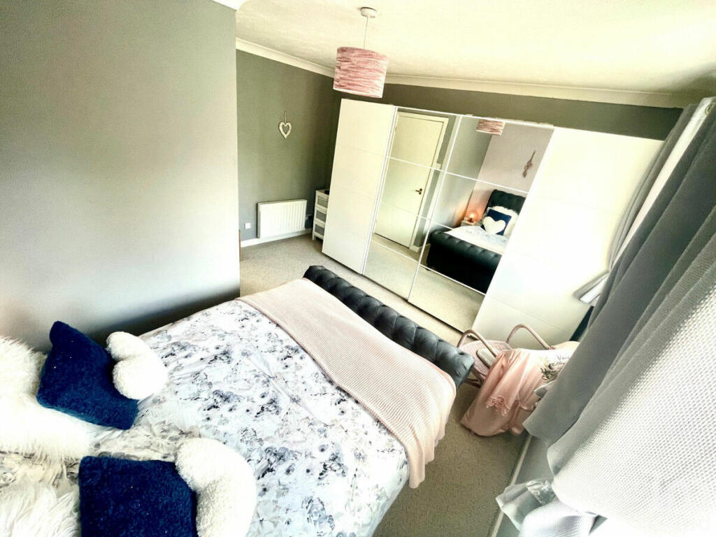
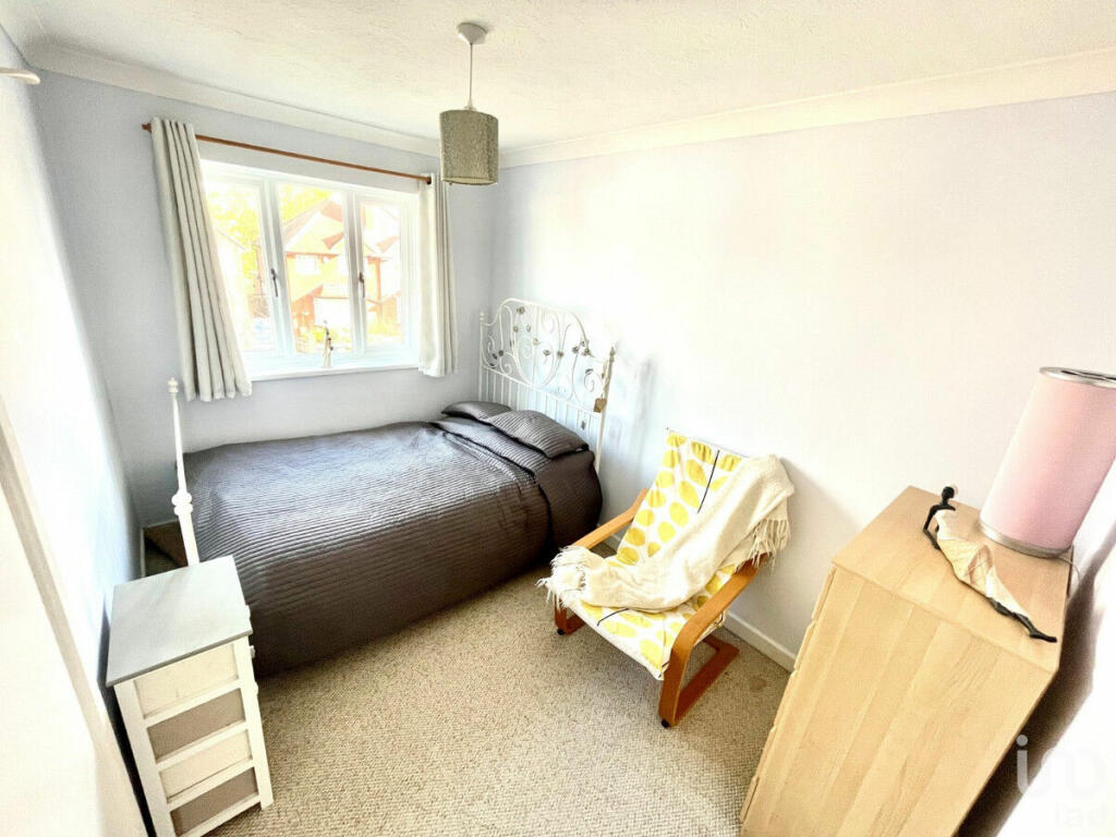
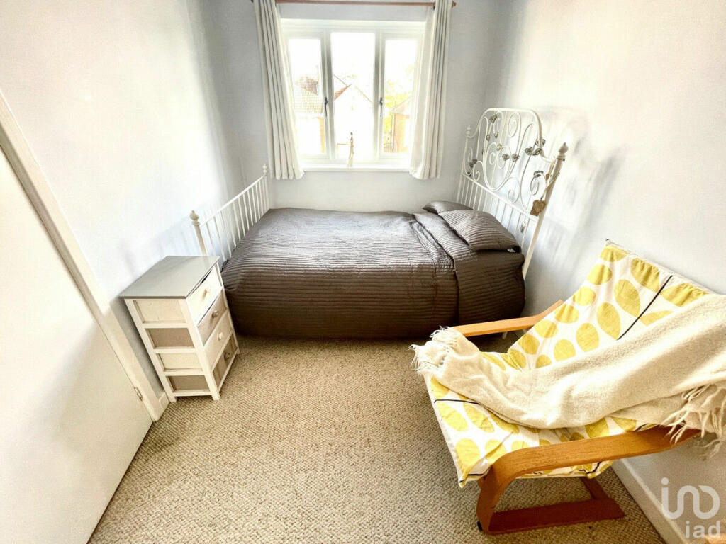
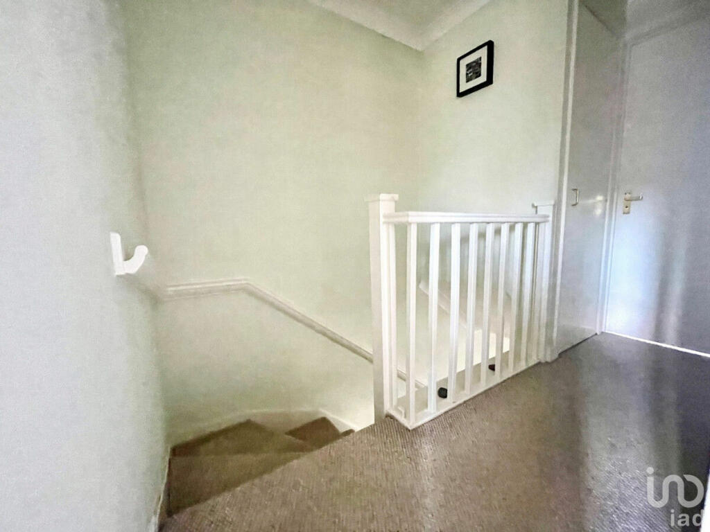
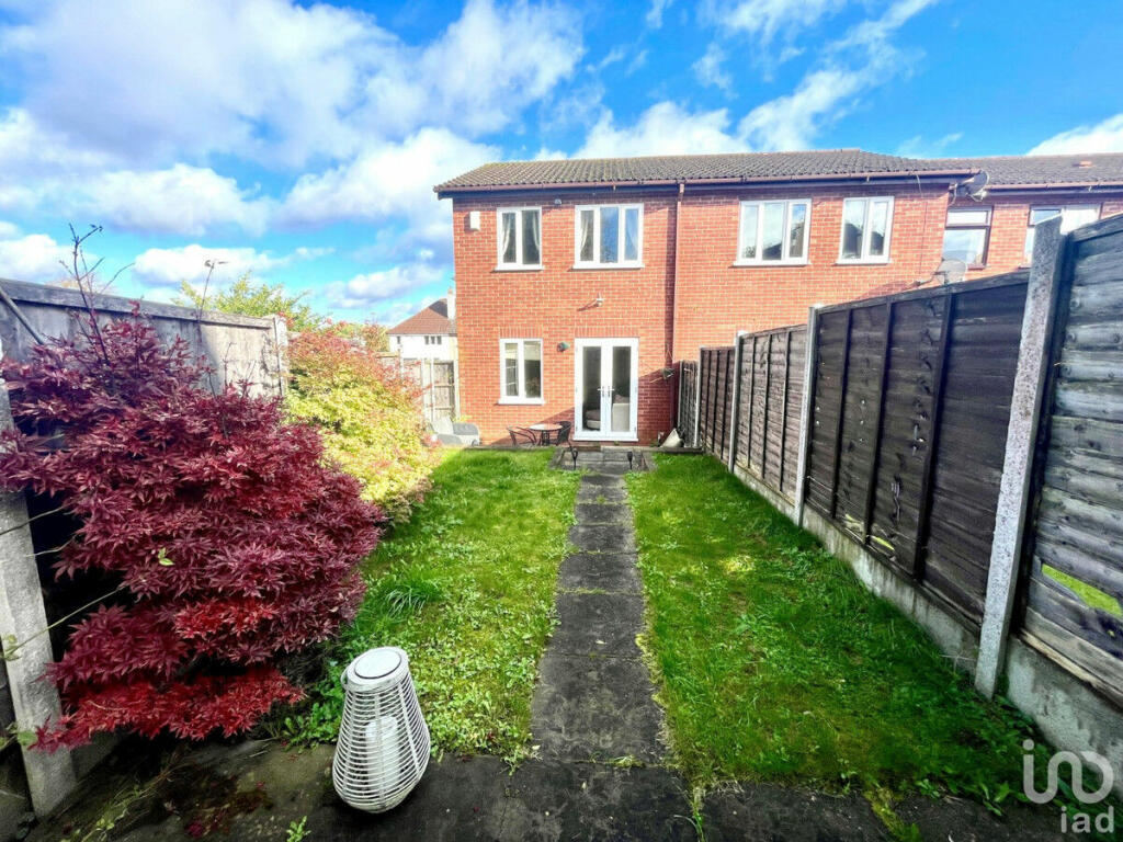
Images


Nearby Streets
| Name | Average Price | Average Sqft | Distance |
|---|---|---|---|
| Cedar Drive | £ 251,238 | 0 | 0.00 KM |
| Elms Close | £ 190,000 | 0 | 0.00 KM |
| Fairfax Drive | £ 135,000 | 0 | 0.00 KM |
| Ivyhouse Road | £ 285,000 | 0 | 0.00 KM |
| Nesfield Close | £ 224,950 | 0 | 0.00 KM |
Nearby Transport
| Name | NLC | TLC | Distance |
|---|---|---|---|
| Northfield | 1111 | NFD | 1.54 KM |
| Longbridge | 1110 | LOB | 2.48 KM |
| Kings Norton | 1109 | KNN | 3.55 KM |
| Bournville | 1112 | BRV | 4.95 KM |
| Barnt Green | 1096 | BTG | 5.40 KM |
Nearby Listings
| Address | Price | Type | Score | Distance |
|---|---|---|---|---|
| The Grove, Northfield, Birmingham, West Midlands, B31 | £ 290,000 | BUY | 7 / 10 | 0.03 KM |
| The Grove, Northfield, Birmingham, West Midlands, B31 | £ 200,000 | BUY | Unknown | 0.04 KM |
| Lilley Lane, Birmingham, B31 | £ 260,000 | BUY | 6 / 10 | 0.08 KM |
| Fryer Road, Birmingham, West Midlands, B31 | £ 260,000 | BUY | 7 / 10 | 0.14 KM |
| Westminster Place, Birmingham, B31 | £ 155,000 | BUY | 6 / 10 | 0.15 KM |
Nearby Properties
| Address | Price | Distance |
|---|---|---|
| 27 The Grove | £ 115,000 | 0.03 KM |
| 21 The Grove | £ 58,000 | 0.03 KM |
| 32 The Grove | £ 139,500 | 0.03 KM |
| 16 The Grove | £ 139,950 | 0.03 KM |
| 9 The Grove | £ 181,750 | 0.03 KM |