HA
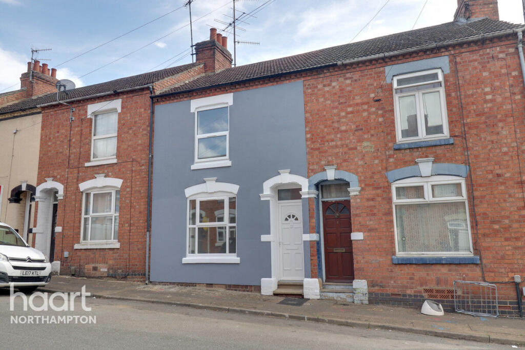
Baker Street, NORTHAMPTON
By haart
£ 1,250
haart says ..
MODERN AND CONVENIENT
- Bedrooms
- 2
- Bathrooms
- 1
The heatmap indicates the level of crime in the area. The color of the heatmap indicates the crime severity and recency.
Metrics Year-on-Year
- Average area value
- 1,332,494.00 £Increased by 19.68 %
- Average area rental value
- 1,800.00 £/moDecreased by 54.11 %
- Est rental Yield
- 1.62 %Decreased by 61.70 %
- Crime Rate
- 10.00 %Unchanged by 0.00 %
from 1,113,335.00 £
from 3,922.00 £/mo
from 4.23 %
from 10.00 %
Agent Activity
haart created the listing.
Nearby Schools
| Name | Type | Ofsted | Distance |
|---|---|---|---|
| St Philip'S Catholic Primary School | Voluntary Aided School | Good | 0.55 KM |
| Harlands Primary School | Community School | Good | 0.66 KM |
| Uckfield College | Community School | Good | 0.79 KM |
| Holy Cross Church Of England Primary School | Voluntary Aided School | Good | 0.88 KM |
| Uckfield Children'S Centre | Children's Centre | 1.06 KM |
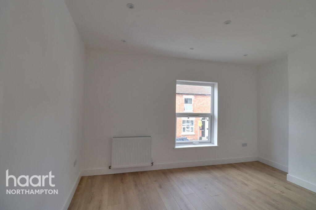
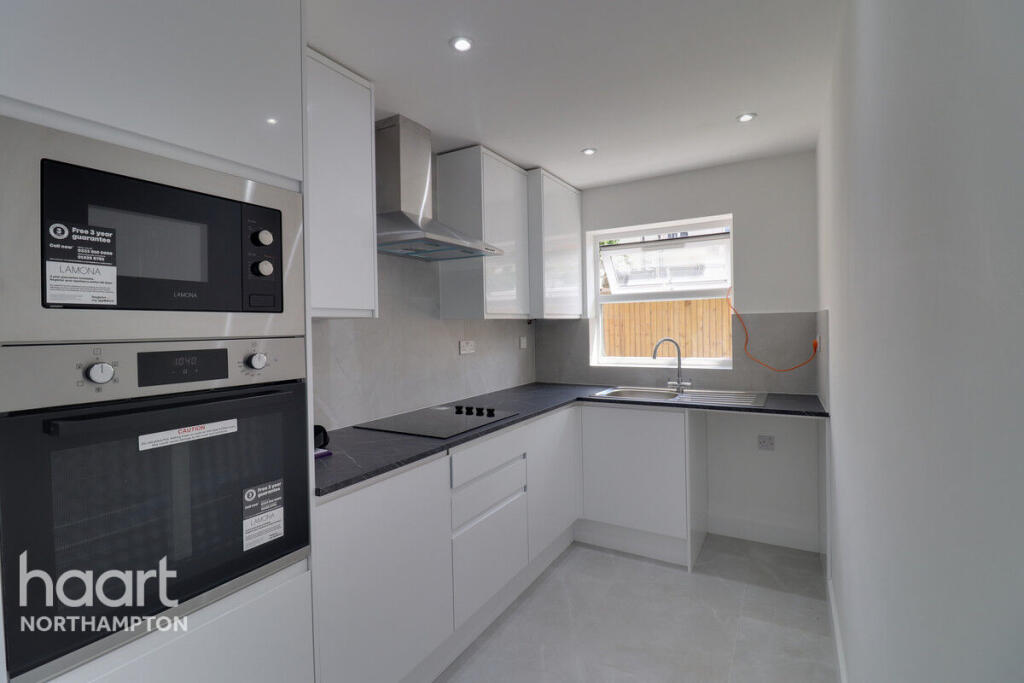
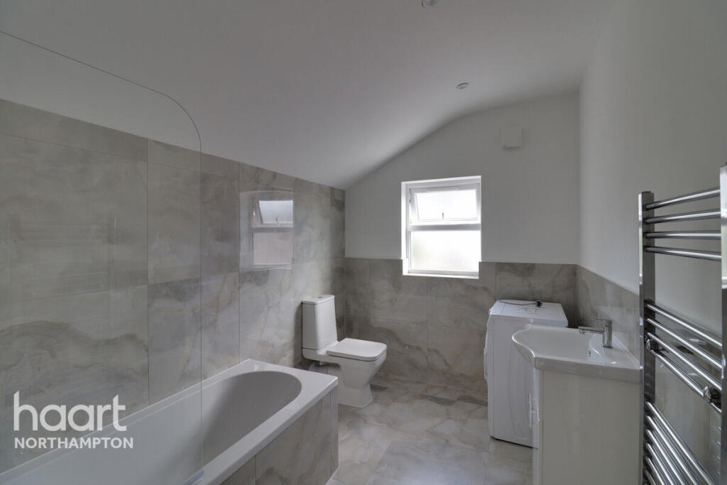
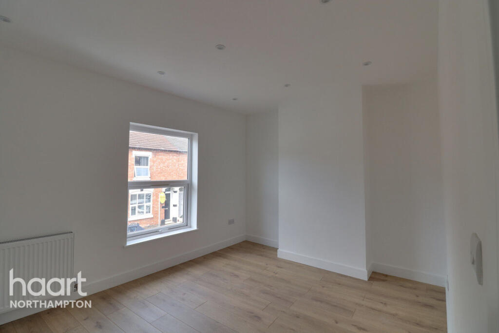
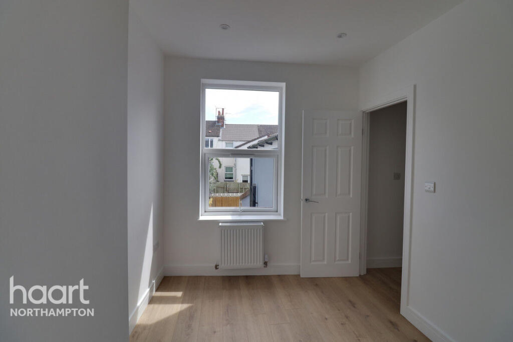
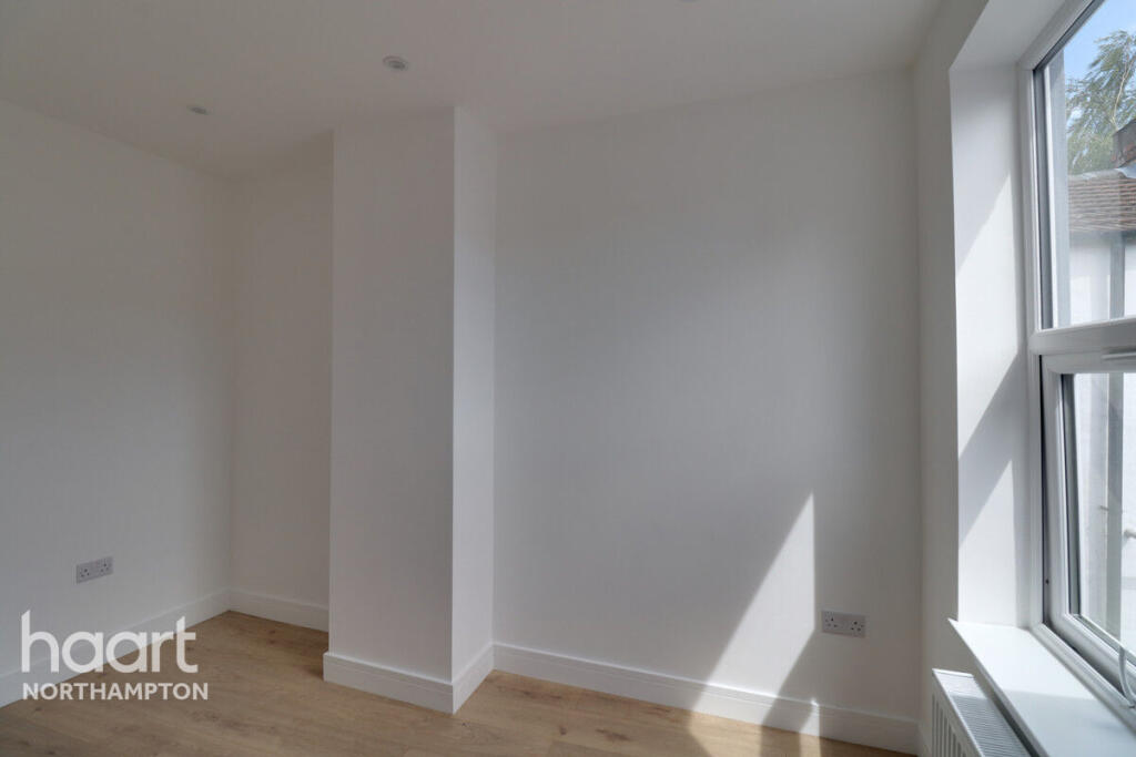
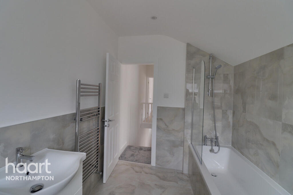
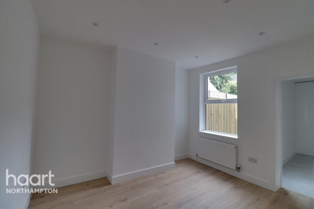
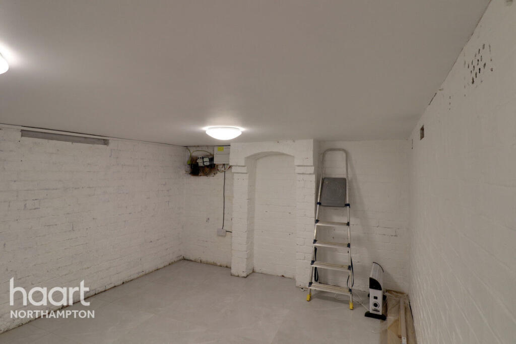
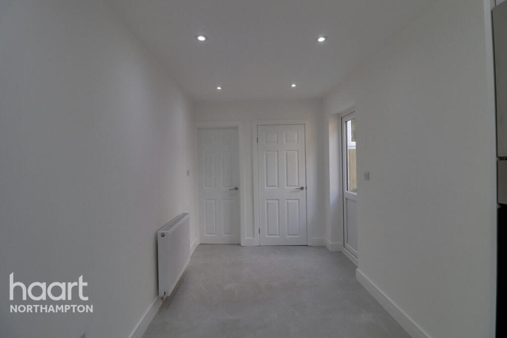
Images

Nearby Streets
| Name | Average Price | Average Sqft | Distance |
|---|---|---|---|
| Kings Court | £ 175,000 | 0 | 0.00 KM |
| College Place | £ 429,500 | 0 | 0.00 KM |
| Isobel Cottages | £ 0 | 0 | 0.00 KM |
| Forge Close | £ 0 | 0 | 0.00 KM |
| Hempstead Meadows Nature Walk | £ 0 | 0 | 0.00 KM |
Nearby Transport
| Name | NLC | TLC | Distance |
|---|---|---|---|
| Uckfield | 5334 | UCK | 0.44 KM |
| Buxted | 5324 | BXD | 4.25 KM |
Nearby Listings
| Address | Price | Type | Score | Distance |
|---|---|---|---|---|
| Baker Street, NORTHAMPTON | £ 1,250 | RENT | Unknown | 0.00 KM |
| Baker Street, Uckfield, East Sussex, TN22 | £ 1,525 | RENT | Unknown | 0.04 KM |
| Lion Mews, Uckfield | £ 1,100 | RENT | Unknown | 0.16 KM |
| Tyhurst Place, Uckfield, TN22 | £ 2,100 | RENT | Unknown | 0.22 KM |
| Tyhurst Place, Uckfield | £ 2,000 | RENT | Unknown | 0.24 KM |
Nearby Properties
| Address | Price | Distance |
|---|---|---|
| 2a Baker Street | £ 197,500 | 0.02 KM |
| 4a Baker Street | £ 305,000 | 0.02 KM |
| 12 Baker Street | £ 167,500 | 0.02 KM |
| 2 Baker Street | £ 235,000 | 0.04 KM |
| 8 Baker Street | £ 300,000 | 0.04 KM |