CH
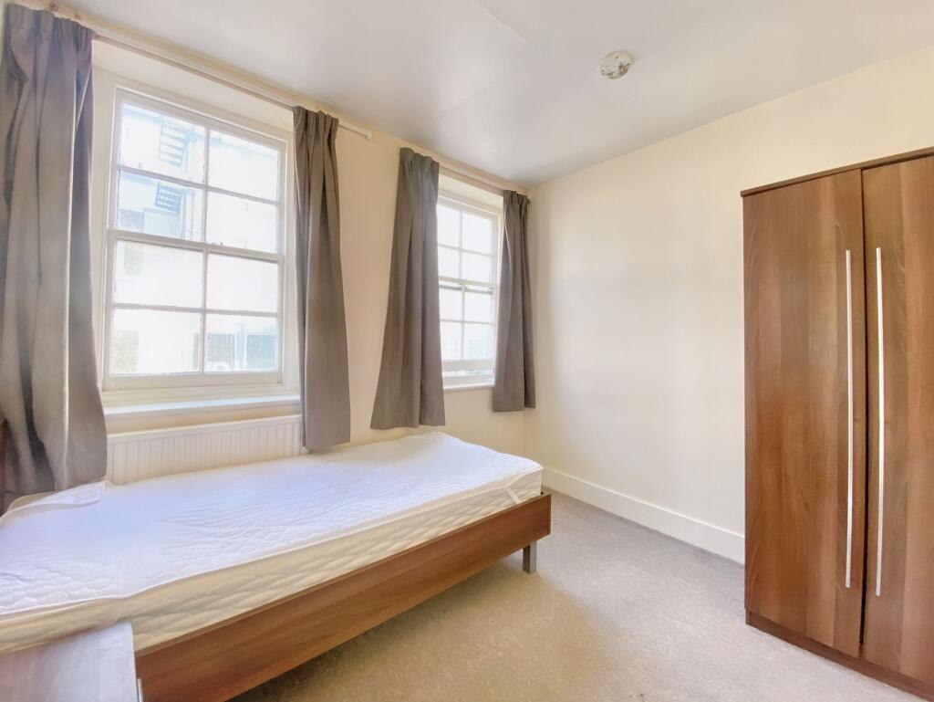
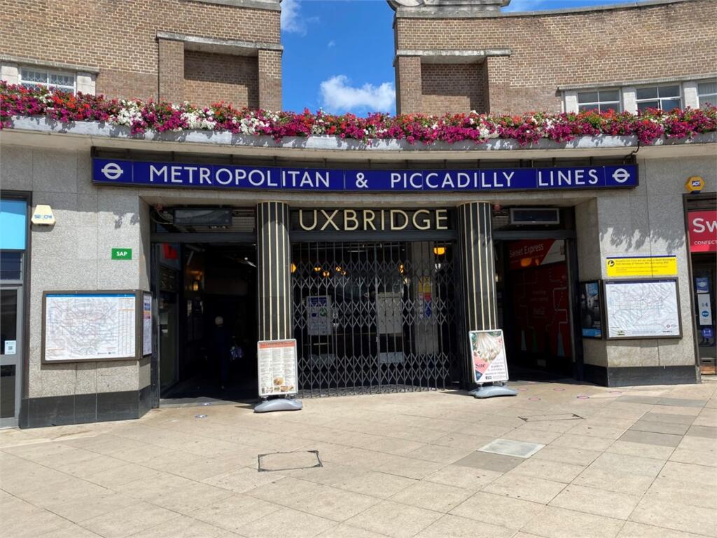
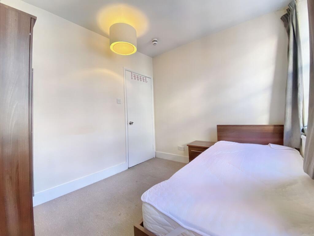
274A High Street, Uxbridge, UB8
By Christopher Nevill
£ 760
Christopher Nevill says ..
Hey there!
- Bedrooms
- 1
- Bathrooms
- 0
The heatmap indicates the level of crime in the area. The color of the heatmap indicates the crime severity and recency.
Metrics Year-on-Year
- Average area value
- 488,667.00 £Decreased by 11.40 %
- Average area rental value
- 1,931.00 £/moDecreased by 5.71 %
- Est rental Yield
- 4.74 %Increased by 6.28 %
- Crime Rate
- 33.00 %Unchanged by 0.00 %
from 551,513.00 £
from 2,048.00 £/mo
from 4.46 %
from 33.00 %
Agent Activity
Christopher Nevill created the listing.
Nearby Schools
| Name | Type | Ofsted | Distance |
|---|---|---|---|
| St Andrew'S C Of E Primary School | Voluntary Aided School | Requires improvement | 0.32 KM |
| Hermitage Primary School | Academy Converter | 0.60 KM | |
| Uxbridge Children'S Centre | Children's Centre | 0.66 KM | |
| John Locke Academy | Academy Sponsor Led | Outstanding | 0.75 KM |
| Whitehall Junior School | Community School | Good | 0.78 KM |
Images
Nearby Streets
| Name | Average Price | Average Sqft | Distance |
|---|---|---|---|
| Hillingdon Road | £ 0 | 0 | 0.00 KM |
| Hillingdon Road | £ 0 | 0 | 0.00 KM |
| Market Square | £ 383,750 | 0 | 0.00 KM |
| Bakers Yard | £ 0 | 0 | 0.00 KM |
| Kendal Mews | £ 0 | 0 | 0.00 KM |
Nearby Transport
| Name | NLC | TLC | Distance |
|---|---|---|---|
| West Drayton | 3174 | WDT | 3.90 KM |
| Denham | 3052 | DNM | 4.43 KM |
| West Ruislip | 3059 | WRU | 5.13 KM |
| Iver | 3170 | IVR | 5.23 KM |
| Denham Golf Club | 3060 | DGC | 6.04 KM |
Nearby Listings
| Address | Price | Type | Score | Distance |
|---|---|---|---|---|
| 274A High Street, Uxbridge, UB8 | £ 760 | RENT | Unknown | 0.00 KM |
| High Street, Uxbridge, UB8 | £ 1,800 | RENT | Unknown | 0.01 KM |
| High Street, Uxbridge, UB8 | £ 1,600 | RENT | Unknown | 0.02 KM |
| High Street, Uxbridge, UB8 | £ 1,375 | RENT | Unknown | 0.05 KM |
| Lovell House, Uxbridge | £ 1,295 | RENT | Unknown | 0.05 KM |
Nearby Properties
| Address | Price | Distance |
|---|---|---|
| 231a High Street | £ 245,000 | 0.23 KM |
| 230b High Street | £ 270,000 | 0.23 KM |
| 40 Iffley Close | £ 90,000 | 0.25 KM |
| 54 Iffley Close | £ 265,000 | 0.25 KM |
| 45 Iffley Close | £ 50,000 | 0.25 KM |