
Roger Coupe says ..
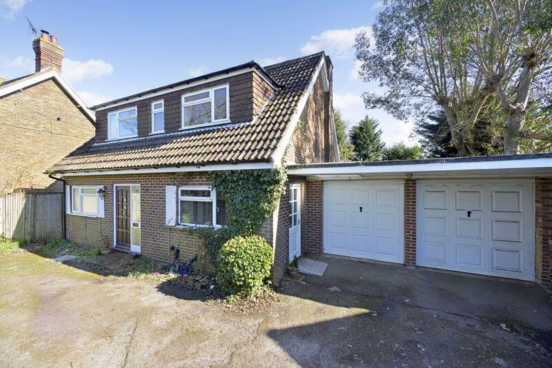
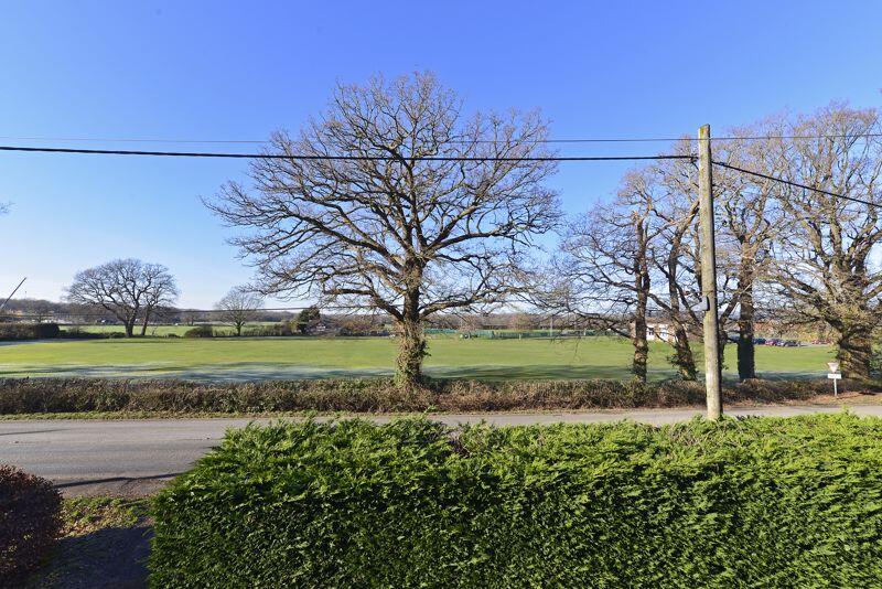
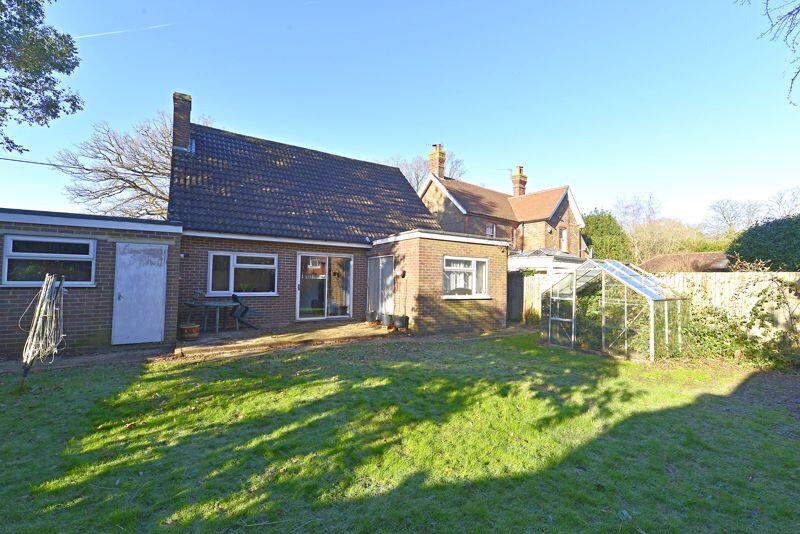
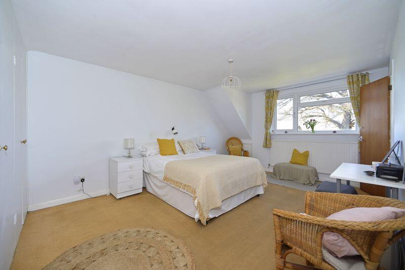
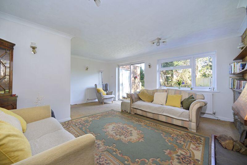
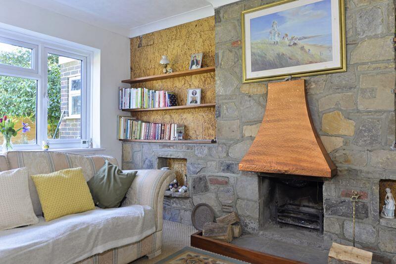
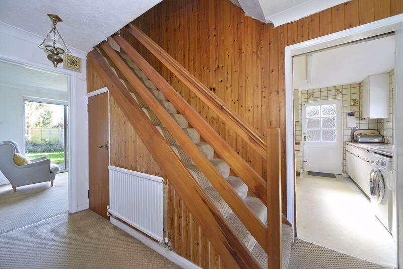
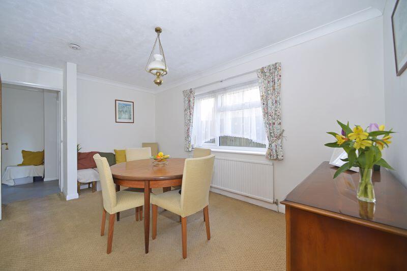
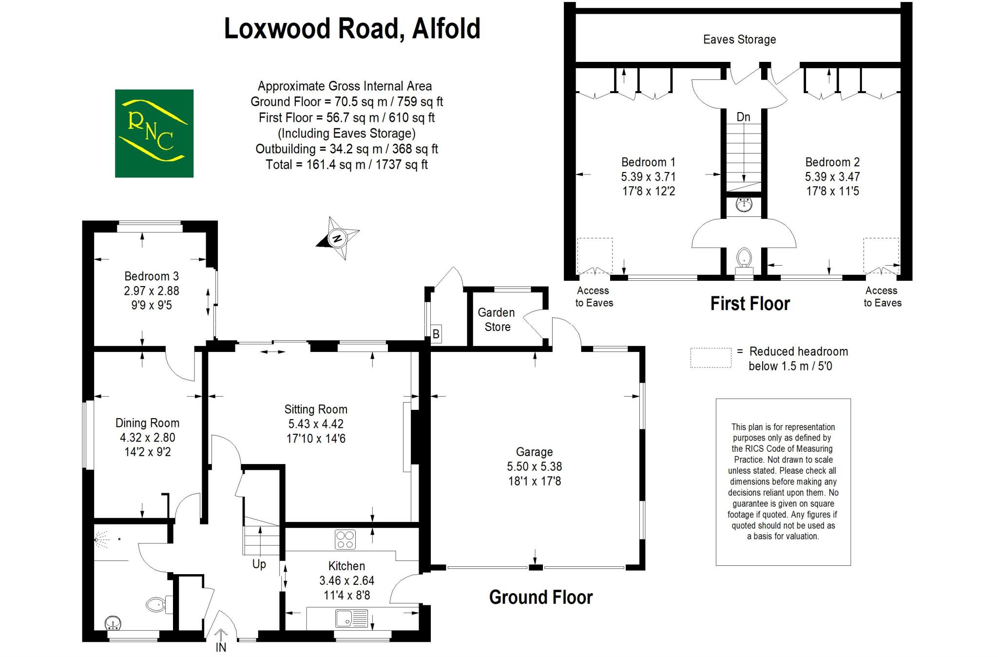
An individual detached chalet style home offering an adaptable arrangement of accommodation situated on the semi-rural edge of the village, with lovely aspects across the road over the village playing fields and to the hills beyond. The accommodation is arranged over two floors having a receptio...
Property Oracle says ..
The property is located in Alfold, Surrey, a village in the Waverley district. Based on the provided information, the area has an average house price of £256,563 and an average price per square foot of £199. The property is listed at £510,000, significantly higher than the average for the area. However, without information on the size of comparable properties, it’s difficult to definitively assess the price per square foot and make a conclusive statement on the value.
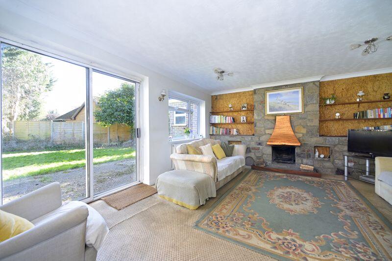
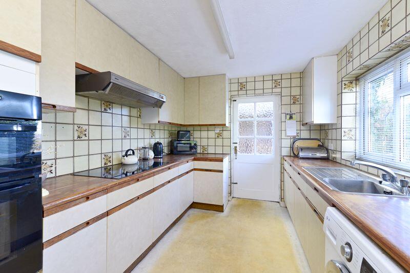
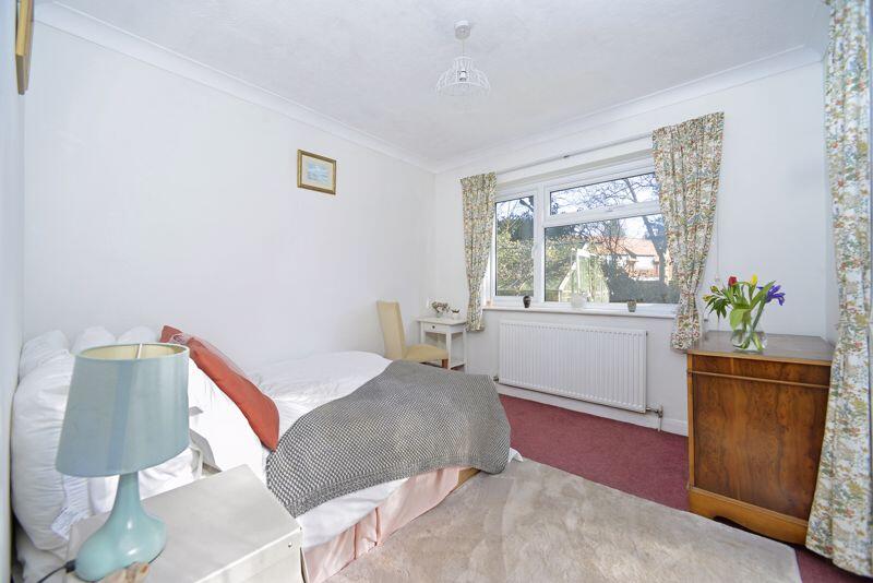
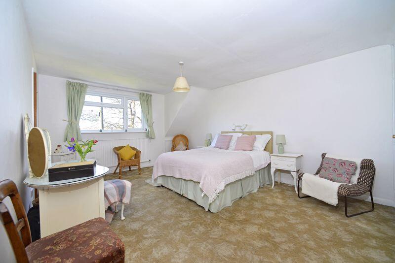
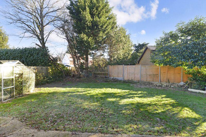
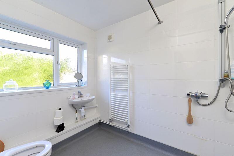
The property appears to be a three-bedroom house with one bathroom. The images suggest the property is in reasonable condition, though some aspects may require updating or modernising. The kitchen and bathrooms appear dated, which could impact the overall condition score. The property has a garden, which is a positive feature. The garden appears to be of a reasonable size, suitable for family use. The presence of a greenhouse suggests potential for gardening and outdoor activities.
Several schools are located within a reasonable distance from the property. Jigsaw Cabas School is the closest, with an “Outstanding” Ofsted rating. The proximity to well-regarded schools could enhance the property’s desirability and location score. However, further information on the local transportation links would be needed for a complete location assessment.
Therefore, we give this property 6 / 10. *Disclaimer: This is our option and does constitute a recommendation or financial advice. Do your own research. *
- Price
- 6
- Condition
- 7
- Location
- 7
- Land
- 7
- Bedrooms
- 3
- Bathrooms
- 1
- Sqft (est)
- 1,737.30
The heatmap indicates the level of crime in the area. The color of the heatmap indicates the crime severity and recency.
Metrics Year-on-Year
- Average area value
- 272,143.00 £Decreased by 0.84 %
- Est sale value
- 425,638.50 £Increased by 2.08 %
- Average area rental value
- 950.00 £/moDecreased by 12.68 %
- Est letting value
- 0.00 £/mo
- Est rental Yield
- 4.19 %Decreased by 11.97 %
- Crime Rate
- 72.00 %Unchanged by 0.00 %
Agent Activity
Roger Coupe created the listing.
Nearby Schools
| Name | Type | Ofsted | Distance |
|---|---|---|---|
| Jigsaw Cabas School | Other Independent Special School | Outstanding | 2.24 KM |
| Rikkyo School-In-England | Other Independent School | Good | 3.10 KM |
| Loxwood Primary School | Community School | Good | 3.59 KM |
| Glebelands School | Community School | Good | 5.09 KM |
| Cranleigh Church Of England Primary School | Voluntary Controlled School | Good | 5.16 KM |
Images

Nearby Streets
| Name | Average Price | Average Sqft | Distance |
|---|---|---|---|
| Barons Drive | £ 1,495,000 | 0 | 0.00 KM |
| Magnolia Drive | £ 0 | 0 | 0.00 KM |
| Juniper Road | £ 0 | 0 | 0.00 KM |
| Farnhurst Lane BW 400 | £ 203,333 | 0 | 0.00 KM |
| Hook Street (BY 407) | £ 0 | 0 | 0.00 KM |
Nearby Listings
| Address | Price | Type | Score | Distance |
|---|---|---|---|---|
| Loxwood Road, Alfold | £ 510,000 | BUY | 6 / 10 | 0.00 KM |
| Clappers Meadow, Alfold, GU6 | £ 280,000 | BUY | 6 / 10 | 0.22 KM |
| Clappers Meadow, Cranleigh | £ 495,000 | BUY | 7 / 10 | 0.26 KM |
| Dunsfold Road, Alfold, Cranleigh, GU6 | £ 500,000 | BUY | 6 / 10 | 0.28 KM |
| Loxwood Road, Alfold, Cranleigh, Surrey, GU6 | £ 93,000 | BUY | 7 / 10 | 0.34 KM |
Nearby Properties
| Address | Price | Distance |
|---|---|---|
| Oak View | £ 597,500 | 0.01 KM |
| Heathcote | £ 355,000 | 0.01 KM |
| The Restways | £ 333,000 | 0.01 KM |
| Tudor Cottage | £ 762,500 | 0.01 KM |
| Nestledown | £ 260,000 | 0.01 KM |