
KE
Holmeside, Sunderland, Tyne And Wear, SR1
By Key4Lets LTD
£ 595
Key4Lets LTD says ..
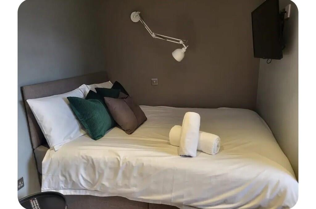
3 x fully furnished studio apartments with all bills include with the exception of council tax.
- Bedrooms
- 0
- Bathrooms
- 0
The heatmap indicates the level of crime in the area. The color of the heatmap indicates the crime severity and recency.
Metrics Year-on-Year
- Average area value
- 127,421.00 £Decreased by 20.23 %
- Average area rental value
- 836.00 £/moIncreased by 23.67 %
- Est rental Yield
- 7.87 %Increased by 54.92 %
- Crime Rate
- 27.00 %Unchanged by 0.00 %
from 159,742.00 £
from 676.00 £/mo
from 5.08 %
from 27.00 %
Agent Activity
Key4Lets LTD created the listing.
Nearby Schools
| Name | Type | Ofsted | Distance |
|---|---|---|---|
| University Of Sunderland | Higher Education Institutions | Good | 0.85 KM |
| St Anthony'S Girls' Catholic Academy | Academy Converter | Outstanding | 0.93 KM |
| Sunderland Children'S Centre East | Children's Centre | 0.99 KM | |
| Argyle House School | Other Independent School | 1.00 KM | |
| Ashbrooke School | Other Independent Special School | Good | 1.03 KM |
Images


Nearby Streets
| Name | Average Price | Average Sqft | Distance |
|---|---|---|---|
| Athaneum Street | £ 99,950 | 0 | 0.00 KM |
| South Street | £ 0 | 0 | 0.00 KM |
| Middle Street | £ 0 | 0 | 0.00 KM |
| Burdon Road | £ 0 | 0 | 0.00 KM |
| Vine Place | £ 0 | 0 | 0.00 KM |
Nearby Transport
| Name | NLC | TLC | Distance |
|---|---|---|---|
| Sunderland | 7640 | SUN | 0.19 KM |
| Seaham | 7814 | SEA | 8.37 KM |
Nearby Listings
| Address | Price | Type | Score | Distance |
|---|---|---|---|---|
| Holmeside, Sunderland, SR1 | £ 595 | RENT | Unknown | 0.00 KM |
| 21/22 Blandford St, City Centre, Sunderland, SR1 | £ 660 | RENT | Unknown | 0.06 KM |
| 12-14 Park Lane, Sunderland, SR1 | £ 775 | RENT | Unknown | 0.09 KM |
| 12-14 Park Lane, Sunderland, SR1 | £ 775 | RENT | Unknown | 0.09 KM |
| 12-14 Park Lane, Sunderland, SR1 | £ 775 | RENT | Unknown | 0.09 KM |
Nearby Properties
| Address | Price | Distance |
|---|---|---|
| 22 Olive Street | £ 82,000 | 0.29 KM |
| 57 Fawcett Street | £ 234,119 | 0.31 KM |
| 2a Derwent Street | £ 32,000 | 0.33 KM |
| 55 John Street | £ 100,000 | 0.39 KM |
| 5 St Georges Way | £ 100,000 | 0.45 KM |