PO
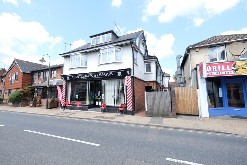
Rumbridge Street, SO40
By Pococks
£ 795
Pococks says ..
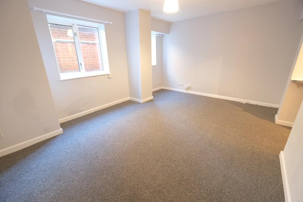
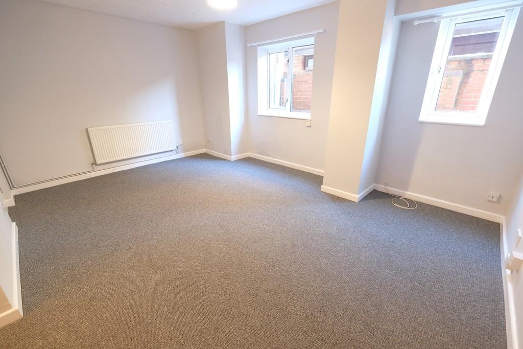
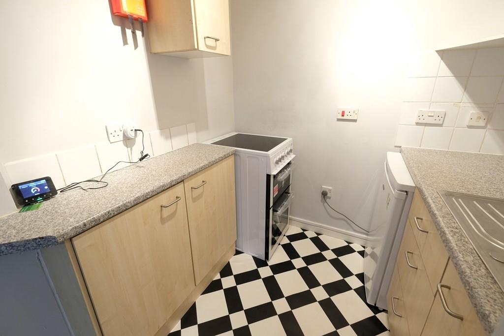
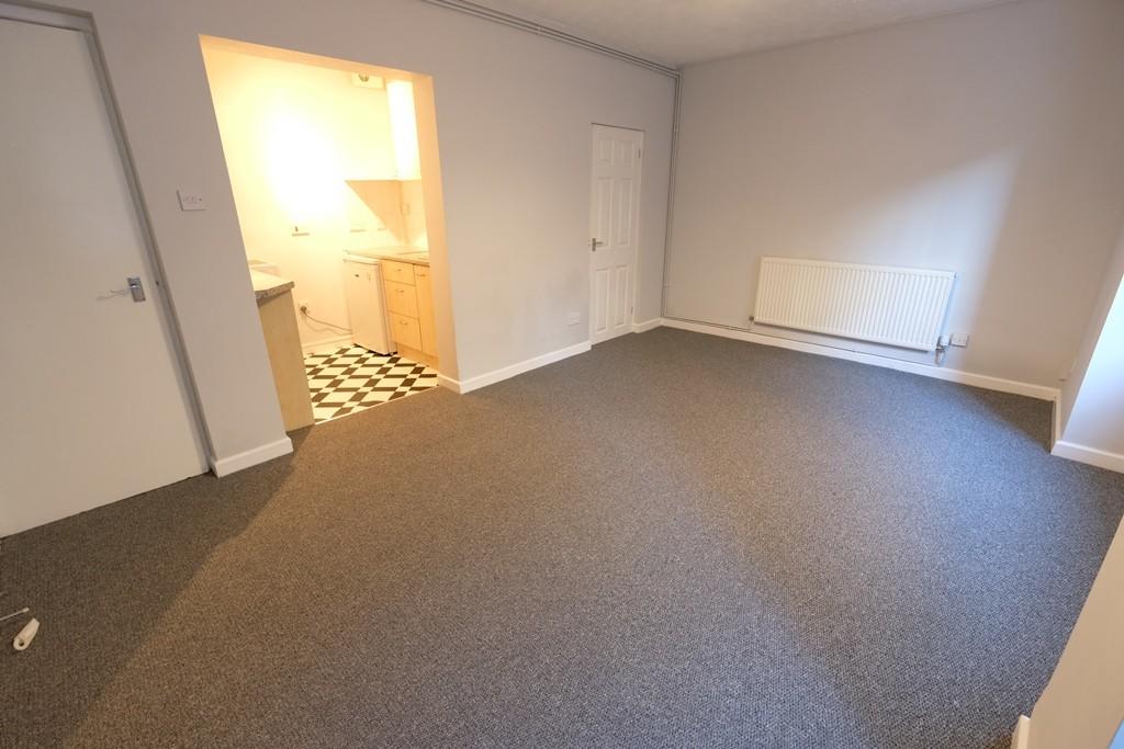
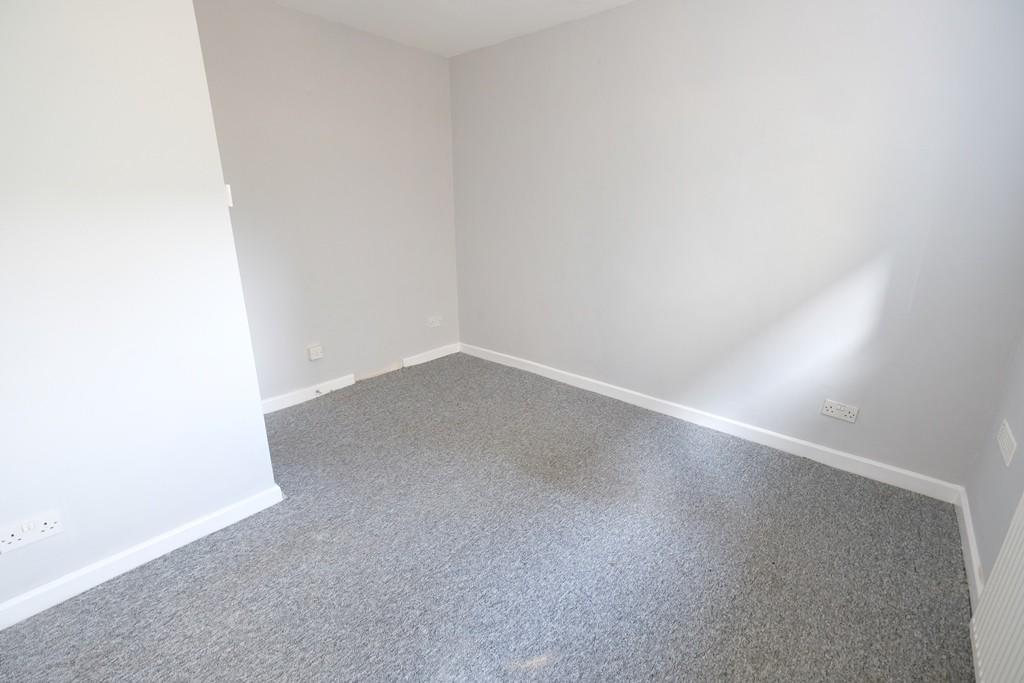
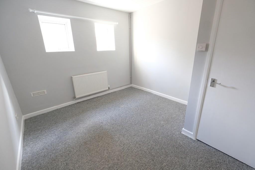
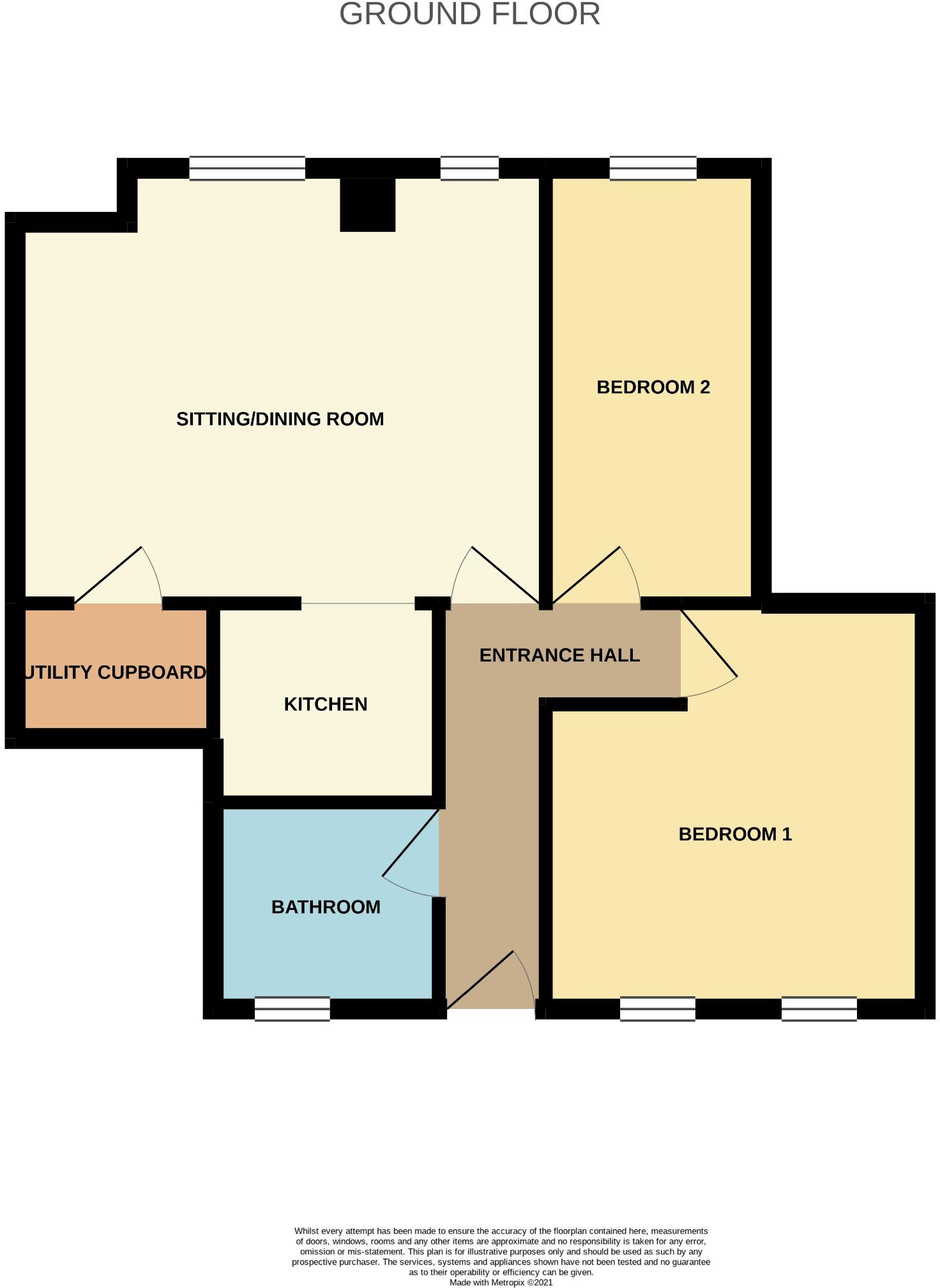
A two bedroom ground floor flat situated in a central and convenient location.
- Bedrooms
- 2
- Bathrooms
- 0
The heatmap indicates the level of crime in the area. The color of the heatmap indicates the crime severity and recency.
Metrics Year-on-Year
- Average area value
- 471,111.00 £Increased by 12.11 %
- Average area rental value
- 1,283.00 £/moDecreased by 19.91 %
- Est rental Yield
- 3.27 %Decreased by 28.45 %
- Crime Rate
- 59.00 %Unchanged by 0.00 %
from 420,238.00 £
from 1,602.00 £/mo
from 4.57 %
from 59.00 %
Agent Activity
Pococks created the listing.
Nearby Schools
| Name | Type | Ofsted | Distance |
|---|---|---|---|
| Glade School | Other Independent Special School | 0.24 KM | |
| Eling Infant School And Nursery | Community School | Good | 0.29 KM |
| The Harbour Children'S Centre | Children's Centre Linked Site | 0.34 KM | |
| Forest Park School | Community Special School | Good | 1.20 KM |
| Lydlynch Infant School | Community School | Good | 1.22 KM |
Images


Nearby Streets
| Name | Average Price | Average Sqft | Distance |
|---|---|---|---|
| Howerd Court | £ 0 | 0 | 0.00 KM |
| Hurst Close | £ 360,000 | 0 | 0.00 KM |
| Jacob's Gutter Lane | £ 0 | 0 | 0.00 KM |
| Heather Close | £ 0 | 0 | 0.00 KM |
Nearby Transport
| Name | NLC | TLC | Distance |
|---|---|---|---|
| Totton | 5921 | TTN | 0.48 KM |
| Redbridge | 5912 | RDB | 1.83 KM |
| Ashurst New Forest | 5906 | ANF | 5.32 KM |
| Millbrook (Hants) | 5909 | MBK | 5.80 KM |
| Beaulieu Road | 5890 | BEU | 7.06 KM |
Nearby Listings
| Address | Price | Type | Score | Distance |
|---|---|---|---|---|
| Rumbridge Street, SO40 | £ 950 | RENT | Unknown | 0.02 KM |
| Rumbridge Street, Totton | £ 750 | RENT | Unknown | 0.02 KM |
| Eling Lane, Totton, SO40 | £ 1,150 | RENT | Unknown | 0.17 KM |
| Rumbridge Street, Totton | £ 1,100 | RENT | Unknown | 0.21 KM |
| Junction Road, Southampton, Hampshire, SO40 | £ 850 | RENT | Unknown | 0.21 KM |
Nearby Properties
| Address | Price | Distance |
|---|---|---|
| 33 Rumbridge Street | £ 35,500 | 0.05 KM |
| 19a Rumbridge Street | £ 200,000 | 0.05 KM |
| 28a Osborne Road | £ 140,000 | 0.08 KM |
| 31 Osborne Road | £ 142,000 | 0.08 KM |
| 26a Osborne Road | £ 223,000 | 0.08 KM |