
MO
Drewry Lane, Derby
By Monkey vs Owl
£ 595
Monkey vs Owl says ..
No summary available.
- Bedrooms
- 1
- Bathrooms
- 1
The heatmap indicates the level of crime in the area. The color of the heatmap indicates the crime severity and recency.
Metrics Year-on-Year
- Average area value
- 350,323.00 £Decreased by 1.18 %
- Average area rental value
- 1,334.00 £/moDecreased by 2.49 %
- Est rental Yield
- 4.57 %Decreased by 1.30 %
- Crime Rate
- 9.00 %Unchanged by 0.00 %
from 354,508.00 £
from 1,368.00 £/mo
from 4.63 %
from 9.00 %
Agent Activity
Monkey vs Owl created the listing.
Nearby Schools
| Name | Type | Ofsted | Distance |
|---|---|---|---|
| Becket Primary School | Community School | Good | 0.26 KM |
| Becket Children'S Centre | Children's Centre | 0.28 KM | |
| The Kingsmead School | Pupil Referral Unit | Good | 0.76 KM |
| Kingsmead School | Community Special School | Good | 0.76 KM |
| West End Children'S Centre | Children's Centre | 0.79 KM |
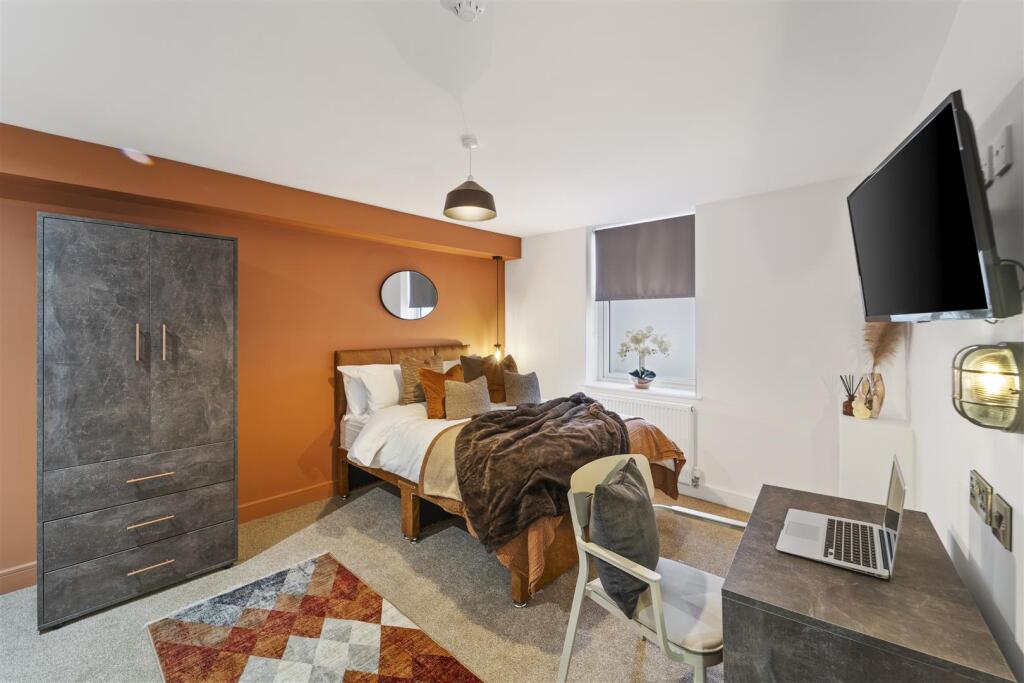
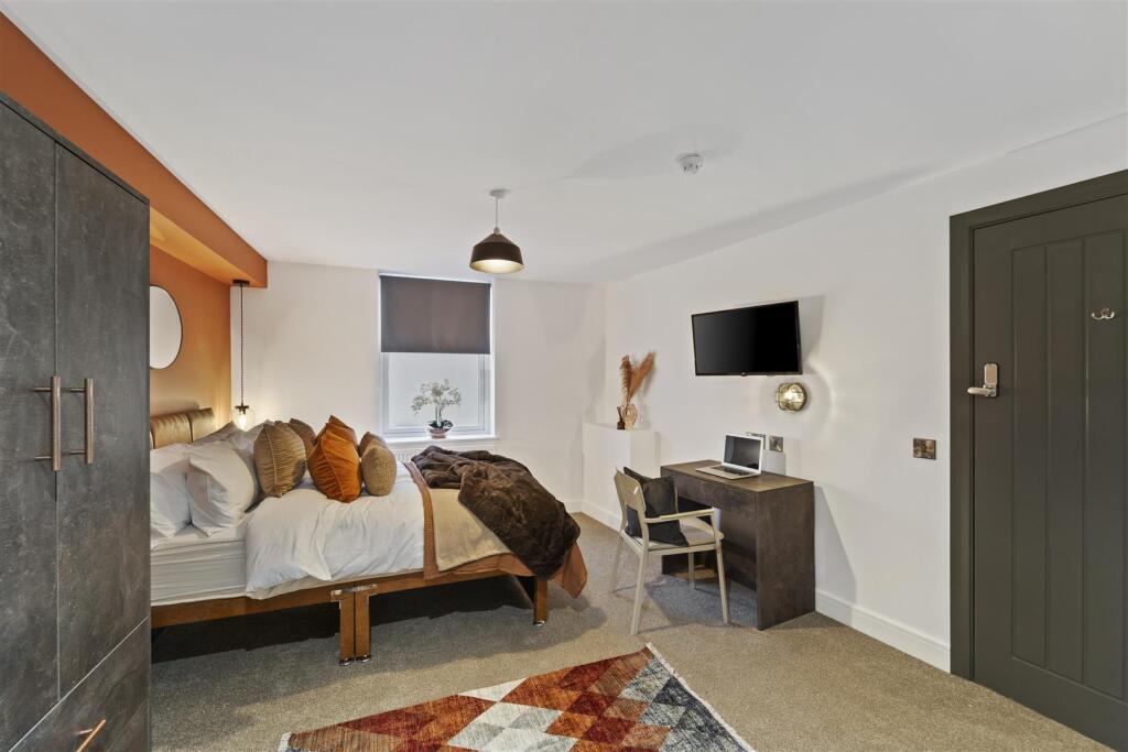
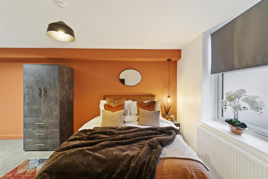
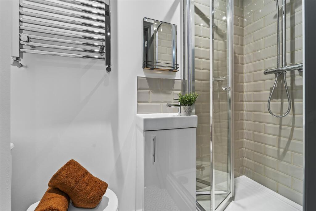
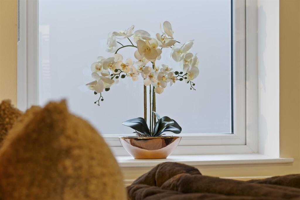
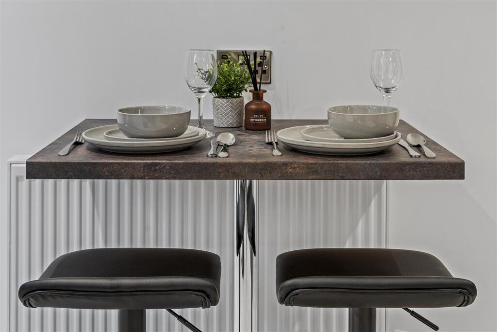
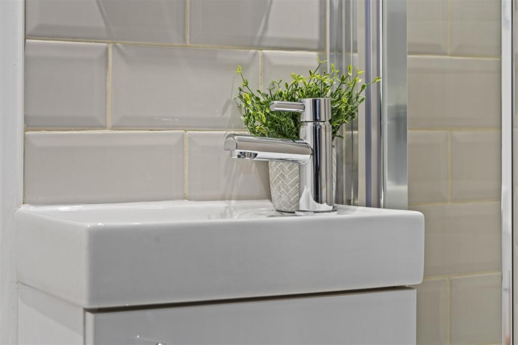
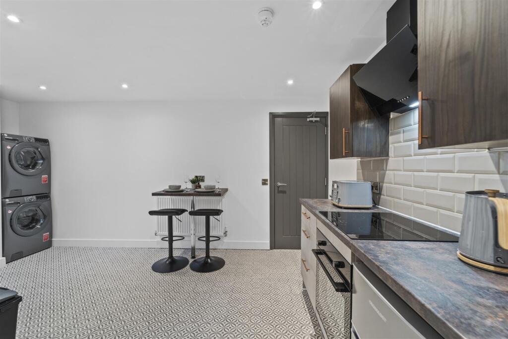
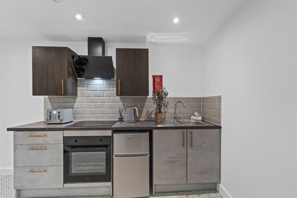
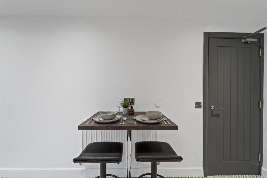
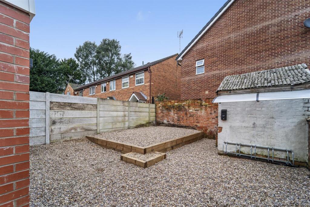
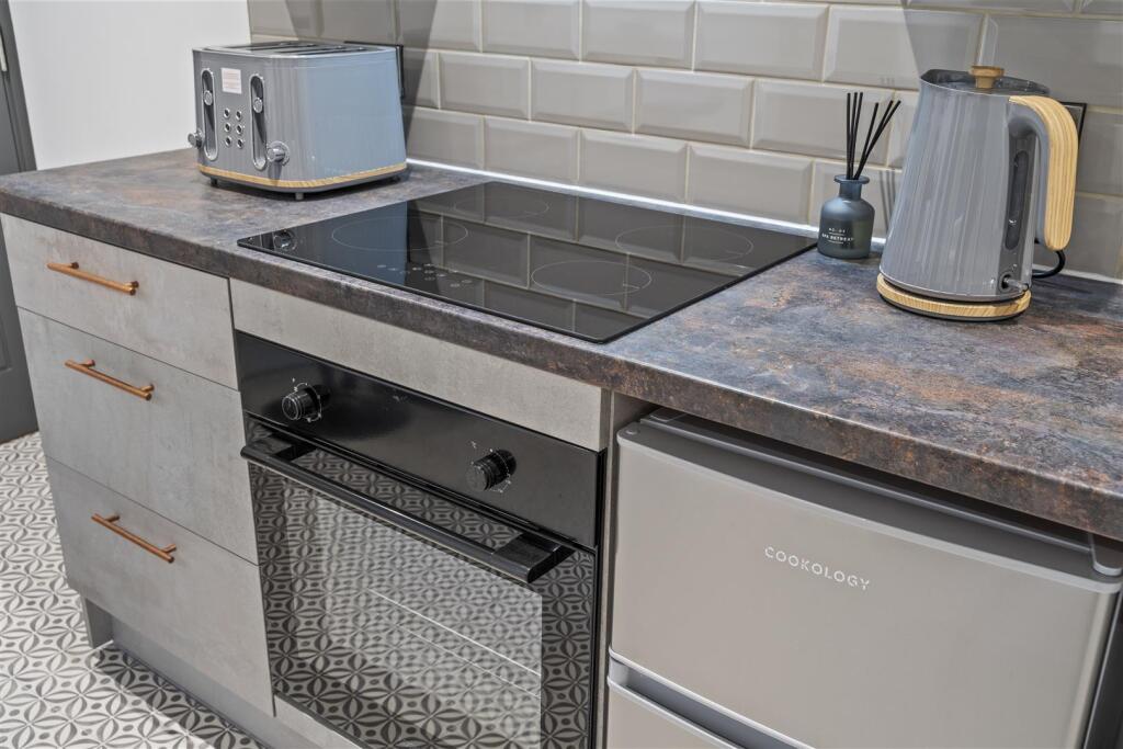
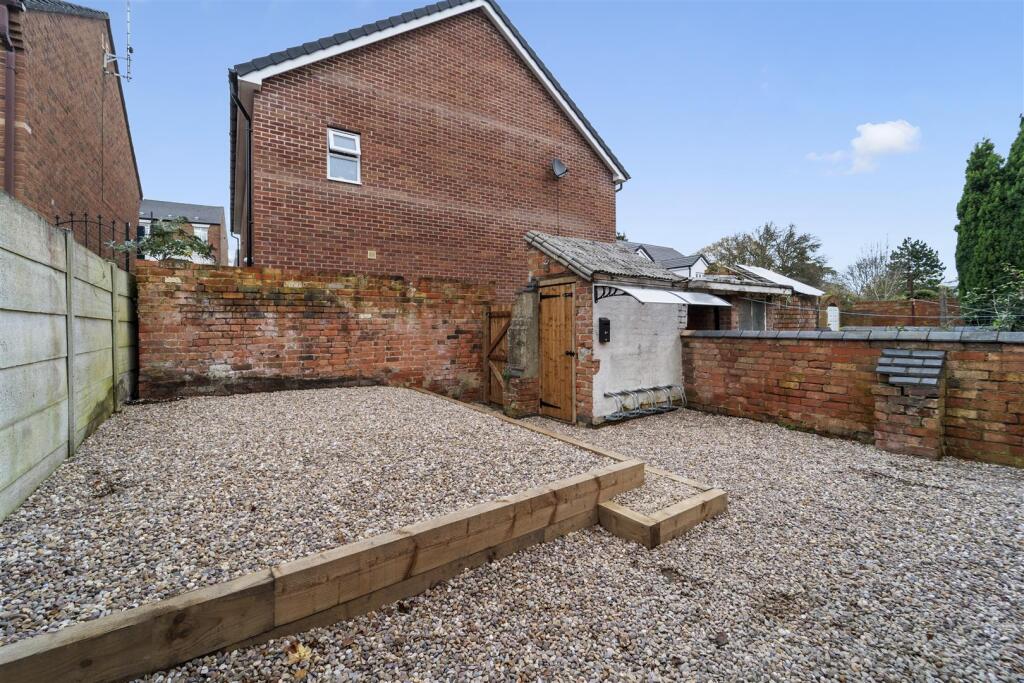
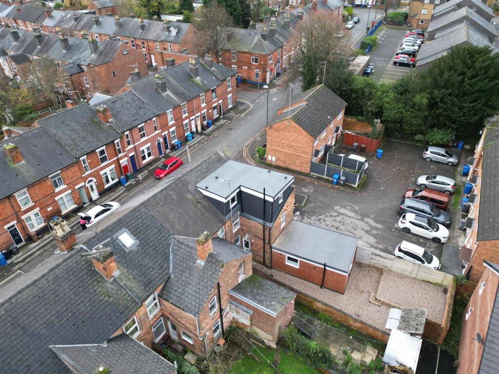
Images


Nearby Streets
| Name | Average Price | Average Sqft | Distance |
|---|---|---|---|
| Coburn Place | £ 0 | 0 | 0.00 KM |
| Arbor Close | £ 119,950 | 0 | 0.00 KM |
| Friar Gate | £ 0 | 0 | 0.00 KM |
| Short Street | £ 0 | 0 | 0.00 KM |
| Cavendish Court | £ 0 | 0 | 0.00 KM |
Nearby Transport
| Name | NLC | TLC | Distance |
|---|---|---|---|
| Derby | 1823 | DBY | 2.36 KM |
| Peartree | 1687 | PEA | 2.86 KM |
| Duffield | 1691 | DFI | 7.59 KM |
| Spondon | 1699 | SPO | 8.15 KM |
Nearby Listings
| Address | Price | Type | Score | Distance |
|---|---|---|---|---|
| Drewry Lane, Derby | £ 595 | RENT | Unknown | 0.00 KM |
| Drewry Lane, Derby | £ 695 | RENT | Unknown | 0.00 KM |
| Drewry Lane, Derby | £ 750 | RENT | Unknown | 0.03 KM |
| Drewry Lane, Derby | £ 750 | RENT | Unknown | 0.03 KM |
| Wolfa Street, Derby | £ 775 | RENT | Unknown | 0.06 KM |
Nearby Properties
| Address | Price | Distance |
|---|---|---|
| 29 Talbot Street | £ 25,000 | 0.08 KM |
| 28 Talbot Street | £ 156,000 | 0.08 KM |
| 27 Talbot Street | £ 62,500 | 0.08 KM |
| 30 Talbot Street | £ 112,000 | 0.08 KM |
| 11 Forman Street | £ 85,000 | 0.12 KM |