RE
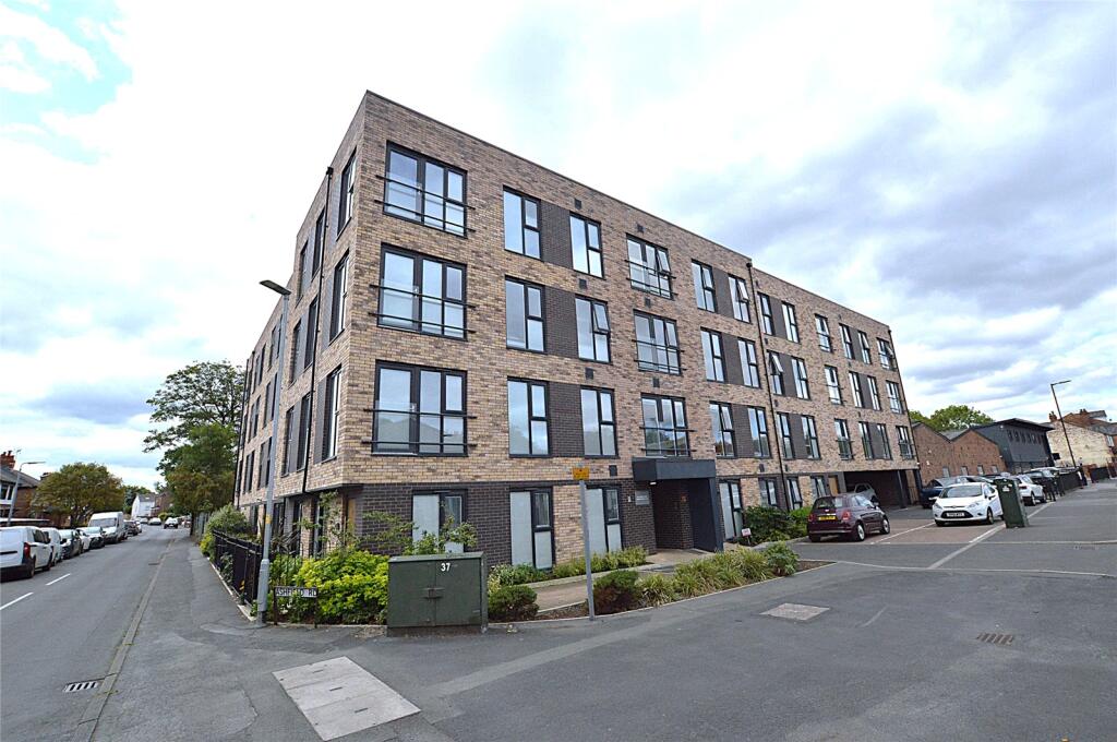
Higher Road, Urmston, Manchester, Greater Manchester, M41
By Redwing
£ 95,000
Reviews
3 out of 5 stars
Redwing says ..
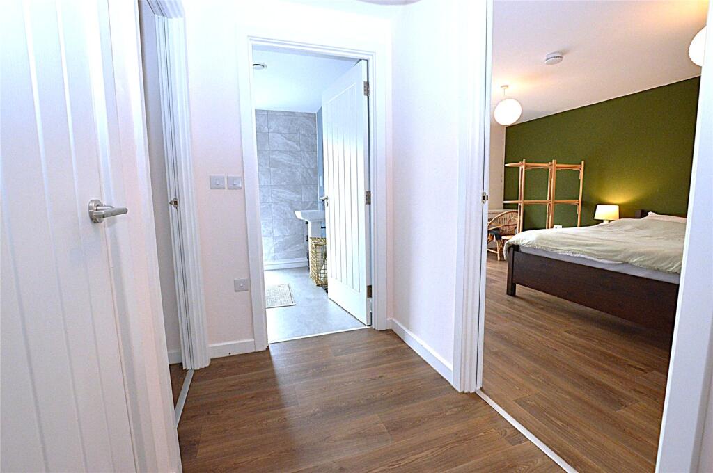
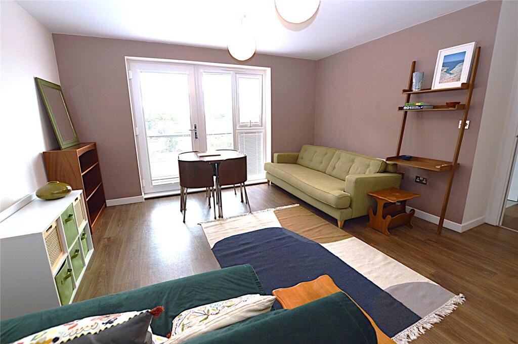
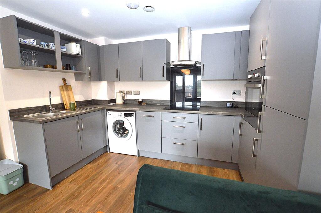
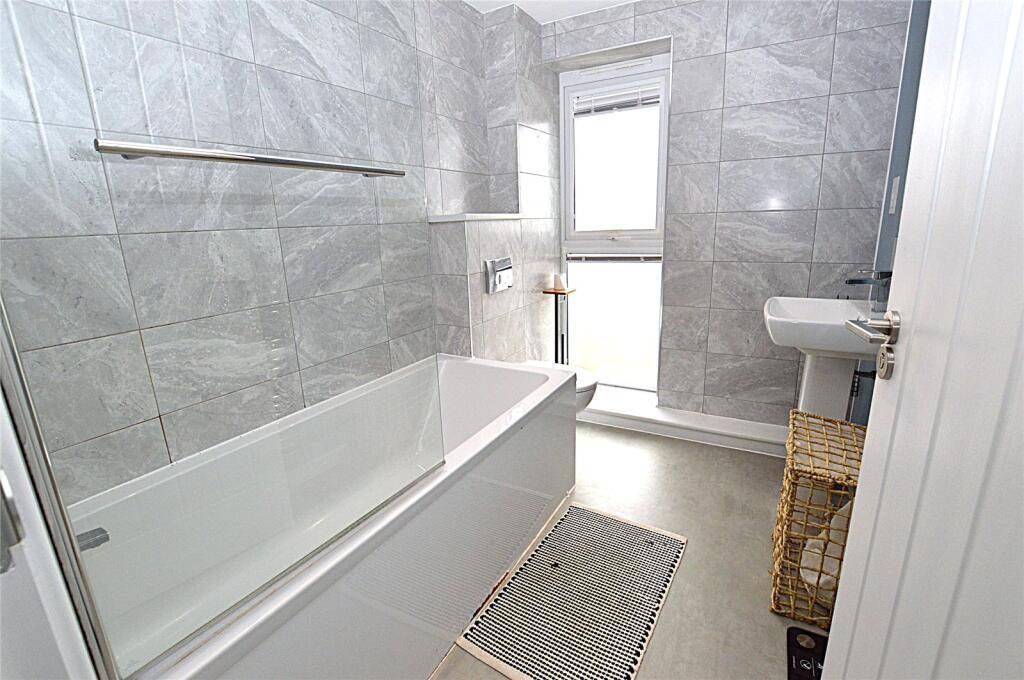
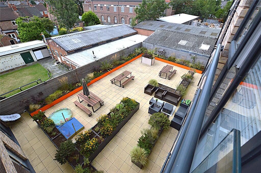
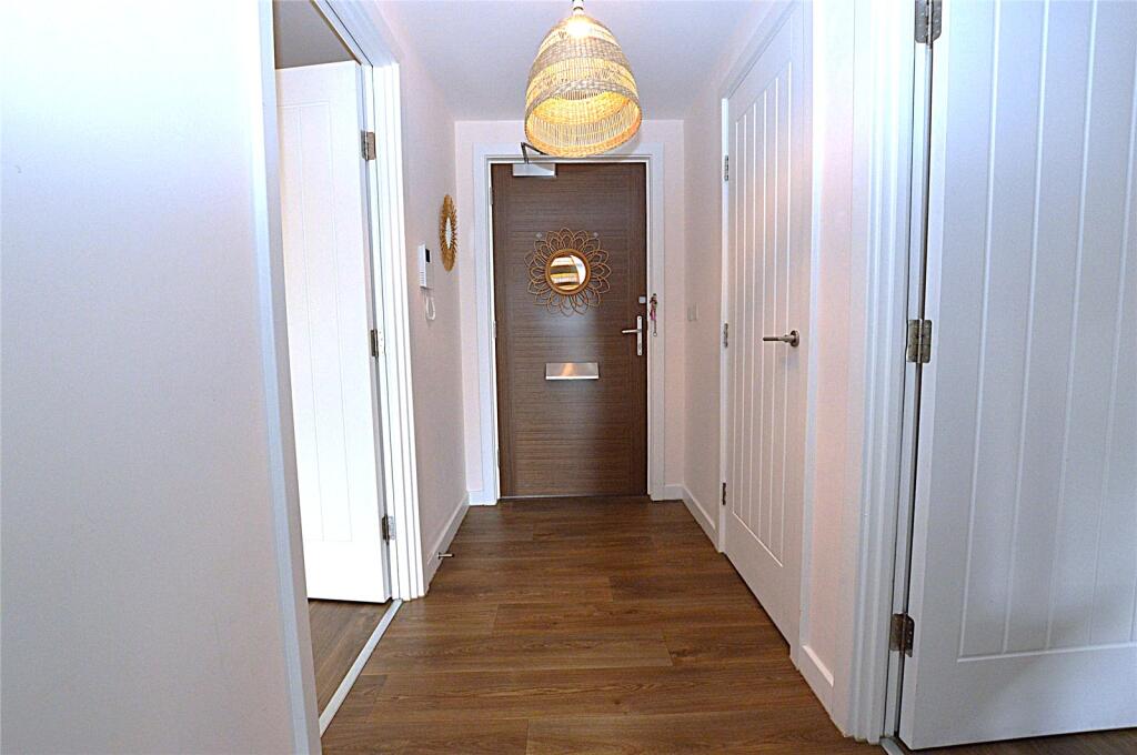
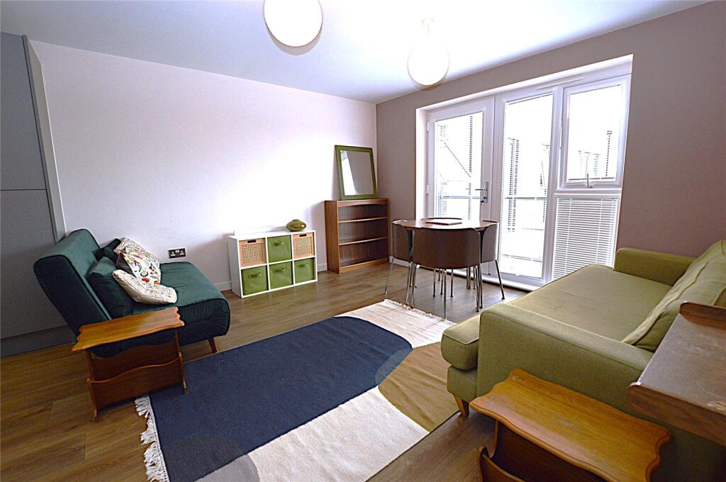
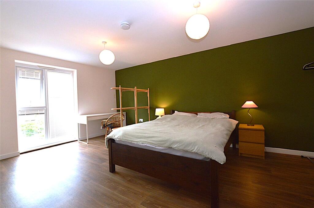
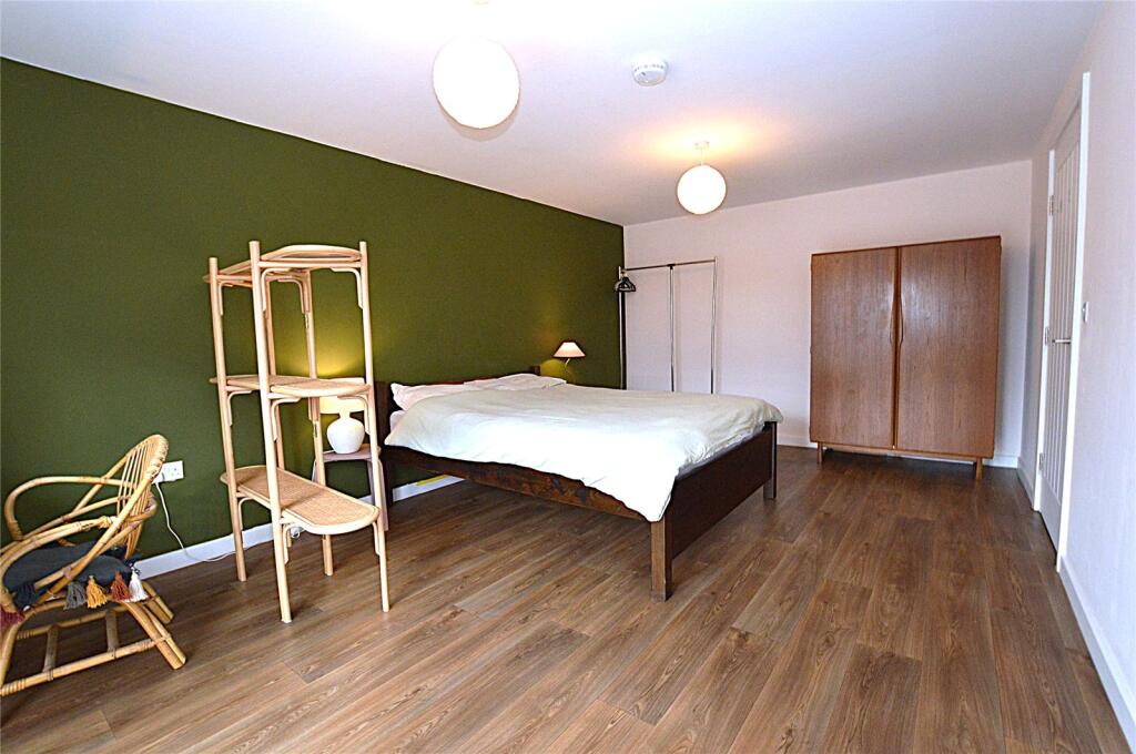
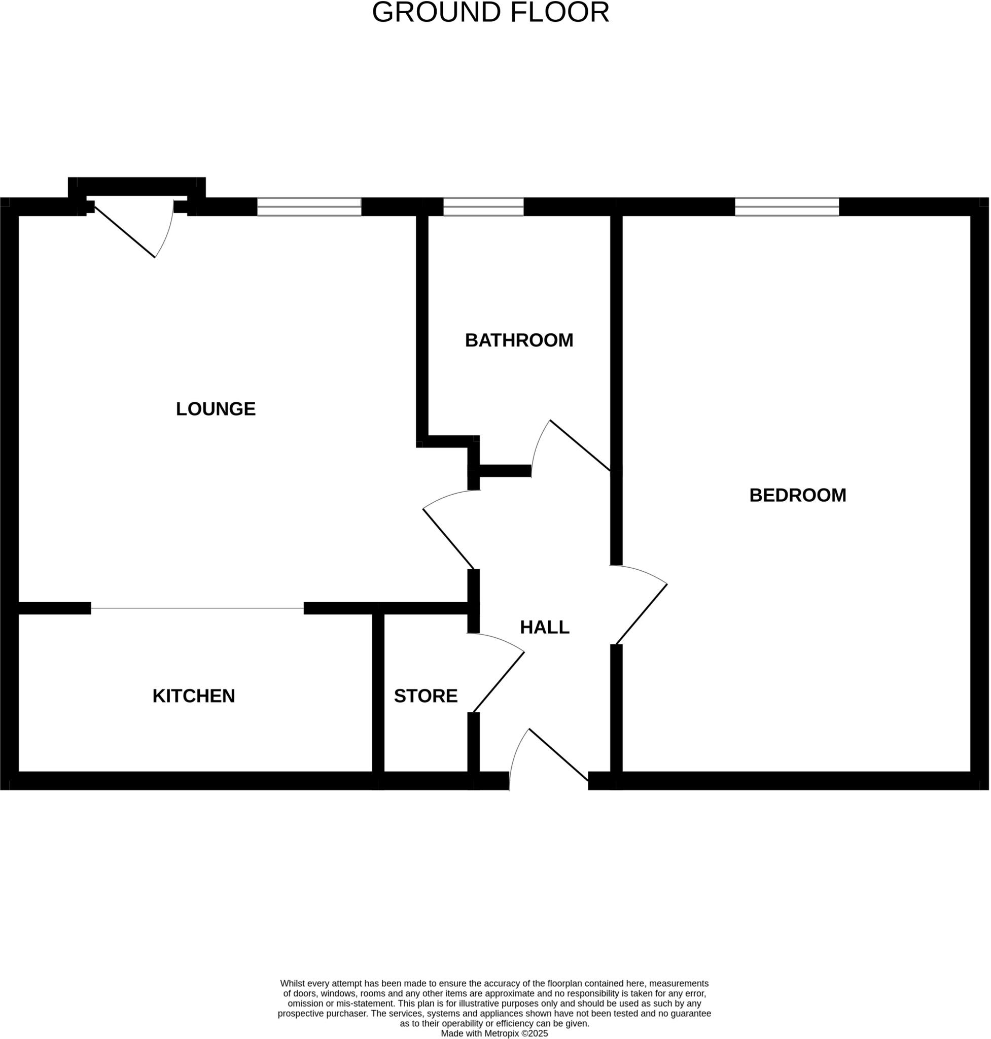
***50% SHARED OWNERSHIP*** Redwing are delighted to bring to the market this lovely one bedroom shared ownership apartment. This spacious property is conveniently located within walking distance of Urmston town centre. The accommodation comprises of hallway, lounge, open plan fitted kitchen, a la...
Property Oracle says ..
Therefore, we give this property 7 / 10. *Disclaimer: This is our option and does constitute a recommendation or financial advice. Do your own research. *
- Price
- 9
- Condition
- 9
- Location
- 7
- Land
- 3
- Bedrooms
- 1
- Bathrooms
- 1
- Sqft (est)
- 700.00
The heatmap indicates the level of crime in the area. The color of the heatmap indicates the crime severity and recency.
Metrics Year-on-Year
- Average area value
- 387,492.00 £Increased by 13.32 %
- Est sale value
- 249,900.00 £Decreased by 3.77 %
- Average area rental value
- 1,248.00 £/moIncreased by 12.13 %
- Est letting value
- 700.00 £/moUnchanged by 0.00 %
- Est rental Yield
- 3.86 %Decreased by 1.28 %
- Crime Rate
- 0.00 %
from 341,954.00 £
from 259,700.00 £
from 1,113.00 £/mo
from 700.00 £/mo
from 3.91 %
from 0.00 %
Agent Activity
Redwing created the listing.
Nearby Schools
| Name | Type | Ofsted | Distance |
|---|---|---|---|
| Davyhulme Primary School | Community School | Outstanding | 0.68 KM |
| English Martyrs' Rc Primary School | Voluntary Aided School | Good | 1.04 KM |
| Highfield Primary School | Community School | Good | 1.15 KM |
| Urmston Primary School | Community School | Requires improvement | 1.16 KM |
| St Antony'S Roman Catholic School, A Voluntary Academy | Academy Sponsor Led | 1.31 KM |
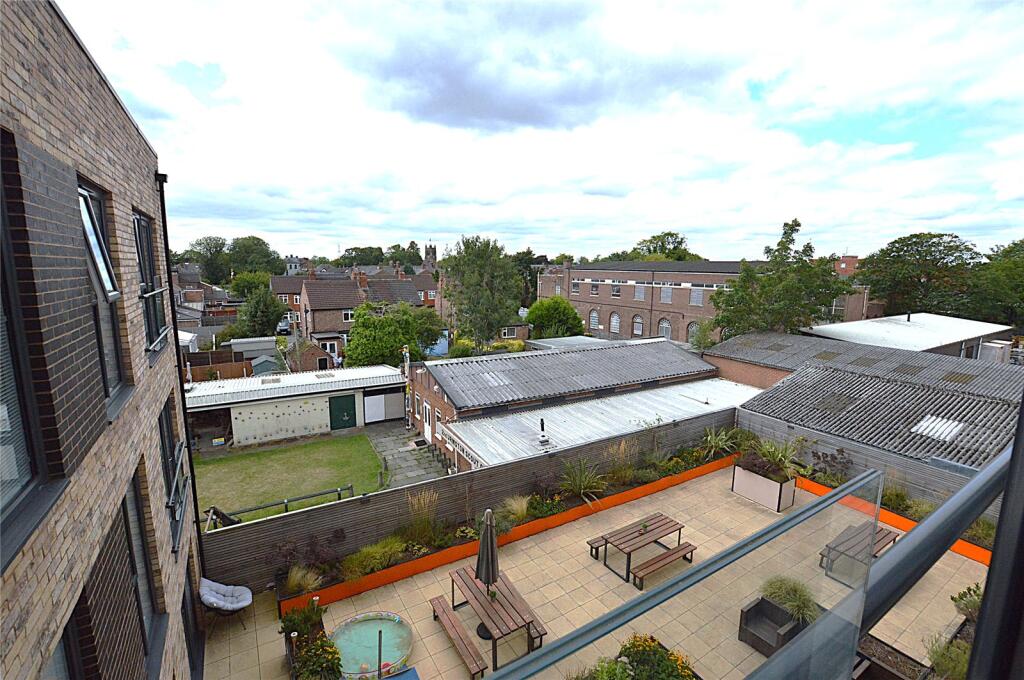
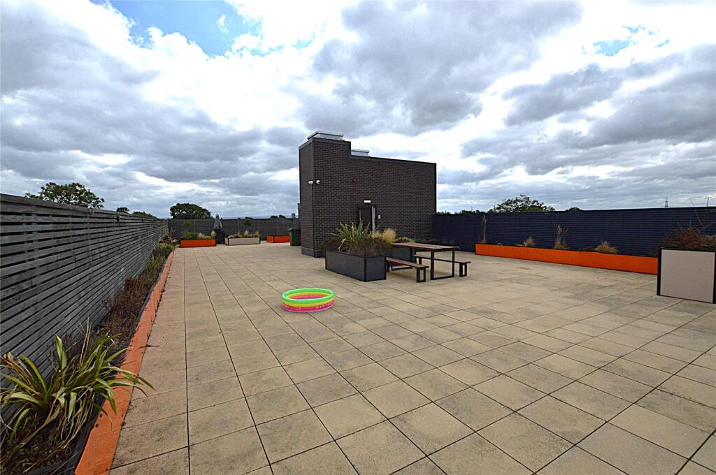
Images
Nearby Streets
| Name | Average Price | Average Sqft | Distance |
|---|---|---|---|
| Central Drive | £ 275,000 | 0 | 0.00 KM |
| Sylvan Avenue | £ 0 | 0 | 0.00 KM |
| Willow Avenue | £ 334,983 | 0 | 0.00 KM |
| Hilton Avenue | £ 0 | 0 | 0.00 KM |
| Furness Road | £ 0 | 0 | 0.00 KM |
Nearby Transport
| Name | NLC | TLC | Distance |
|---|---|---|---|
| Urmston | 2938 | URM | 0.51 KM |
| Chassen Road | 2947 | CSR | 2.12 KM |
| Humphrey Park | 2937 | HUP | 2.44 KM |
| Flixton | 2935 | FLI | 3.91 KM |
| Patricroft | 2916 | PAT | 4.19 KM |
Nearby Listings
| Address | Price | Type | Score | Distance |
|---|---|---|---|---|
| Higher Road, Urmston, Manchester, Greater Manchester, M41 | £ 82,250 | BUY | 6 / 10 | 0.00 KM |
| Higher Road, Urmston, Manchester, Greater Manchester, M41 | £ 95,000 | BUY | 7 / 10 | 0.00 KM |
| Ashfield Road, Urmston, M41 | £ 350,000 | BUY | 7 / 10 | 0.07 KM |
| Dorclyn Avenue, Urmston, Manchester, M41 | £ 340,000 | BUY | 8 / 10 | 0.11 KM |
| Ashfield Road, Urmston, | £ 495,000 | BUY | 7 / 10 | 0.13 KM |
Nearby Properties
| Address | Price | Distance |
|---|---|---|
| 94 Higher Road | £ 218,000 | 0.09 KM |
| 100 Higher Road | £ 155,000 | 0.09 KM |
| 93 Higher Road | £ 110,000 | 0.09 KM |
| 98 Higher Road | £ 315,000 | 0.09 KM |
| 96 Higher Road | £ 75,000 | 0.09 KM |