HA
Burnham Road, Dartford
By haart
£ 375,000
haart says ..
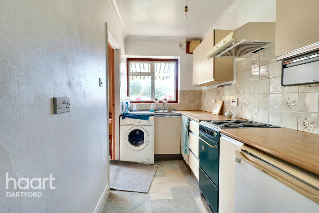
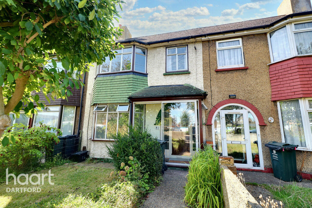
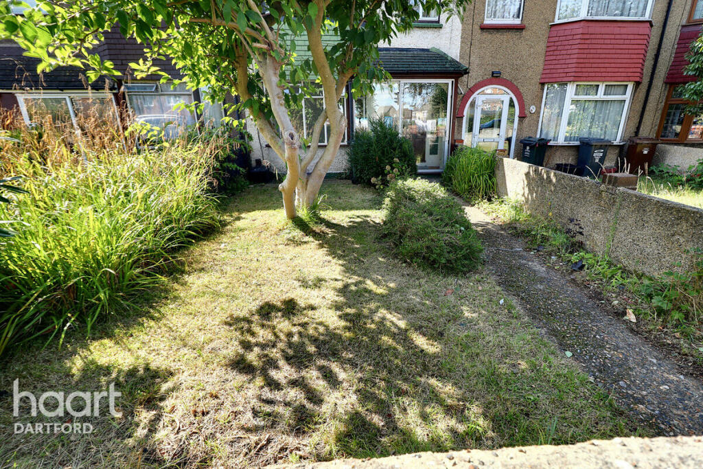
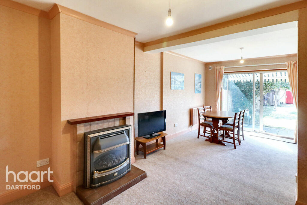
Guide price £3750,000 - £400,000 3-Bedroom Terraced House on Burnham Road, Dartford
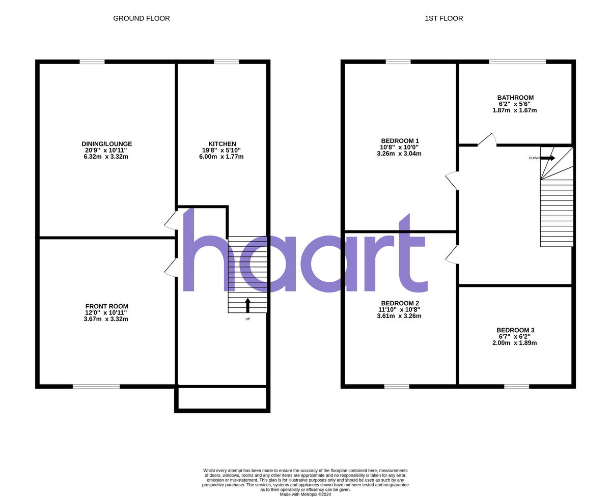
- Bedrooms
- 3
- Bathrooms
- 1
The heatmap indicates the level of crime in the area. The color of the heatmap indicates the crime severity and recency.
Metrics Year-on-Year
- Average area value
- 680,617.00 £Decreased by 16.07 %
- Average area rental value
- 1,914.00 £/moIncreased by 14.68 %
- Est rental Yield
- 3.37 %Increased by 36.44 %
- Crime Rate
- 5.00 %Unchanged by 0.00 %
from 810,933.00 £
from 1,669.00 £/mo
from 2.47 %
from 5.00 %
Agent Activity
haart created the listing.
Nearby Schools
| Name | Type | Ofsted | Distance |
|---|---|---|---|
| Holy Trinity Church Of England Primary School, Dartford | Voluntary Aided School | Good | 0.33 KM |
| Our Lady'S Catholic Primary School, Dartford | Voluntary Aided School | Good | 0.77 KM |
| Dartford Grammar School | Academy Converter | 1.04 KM | |
| West Hill Primary Academy | Academy Converter | Good | 1.05 KM |
| Westgate Primary School | Academy Sponsor Led | Good | 1.22 KM |
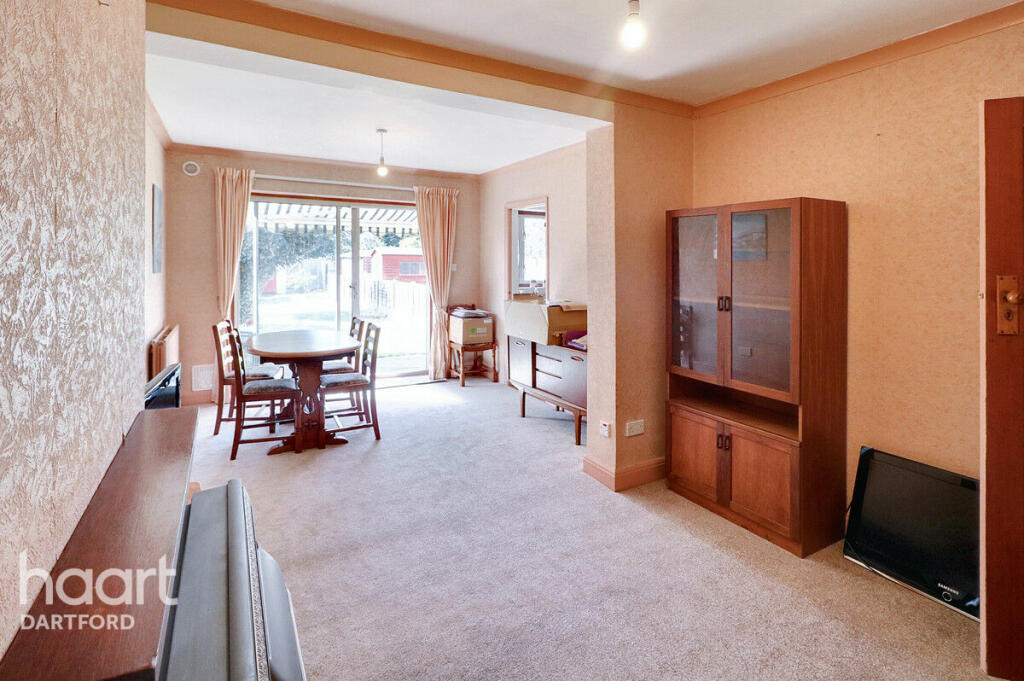
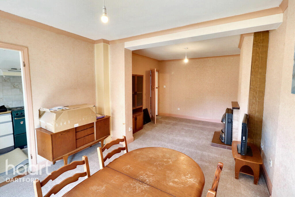
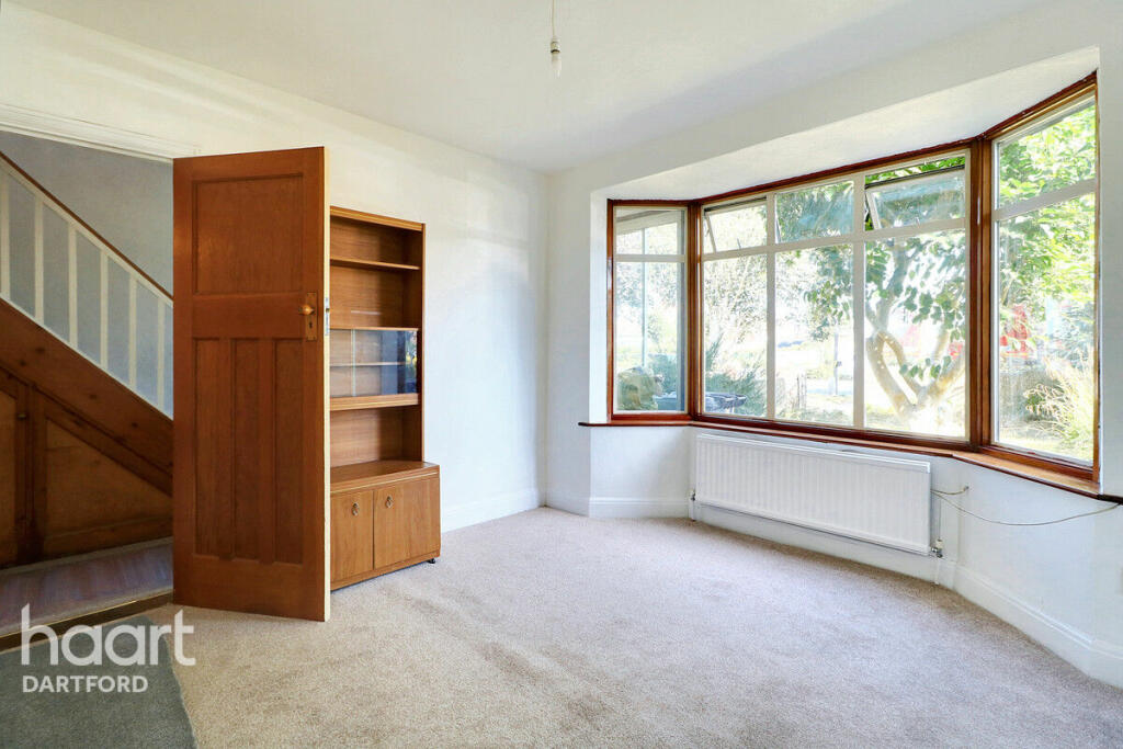
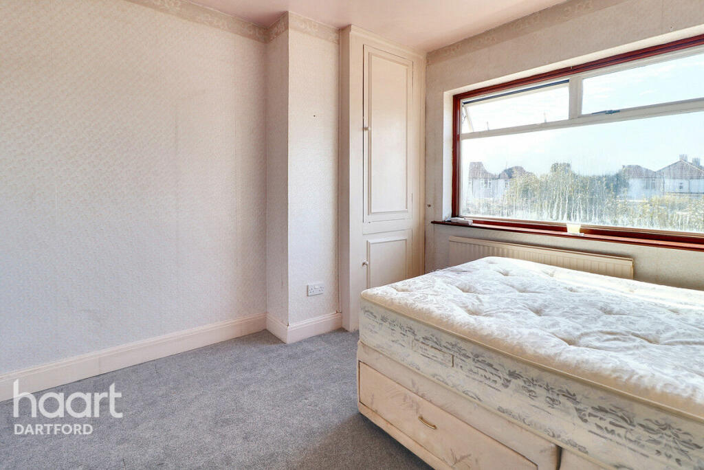
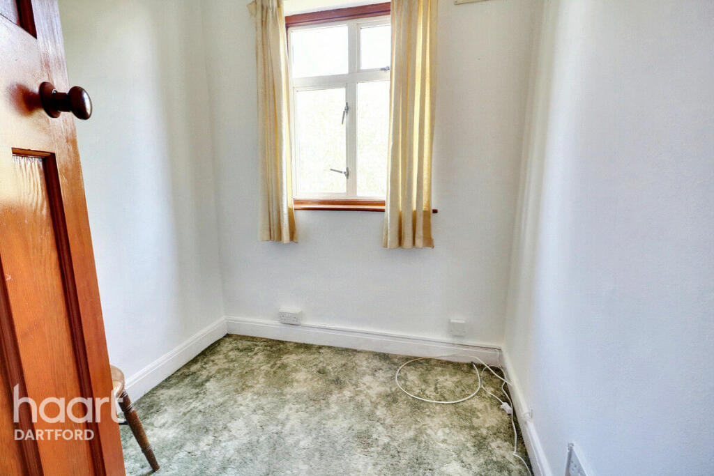
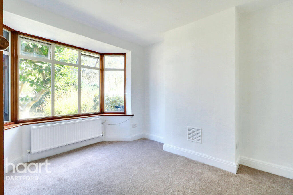
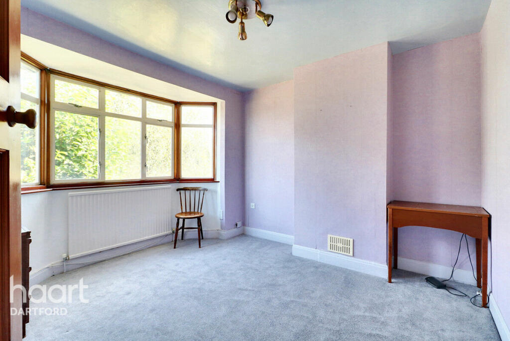
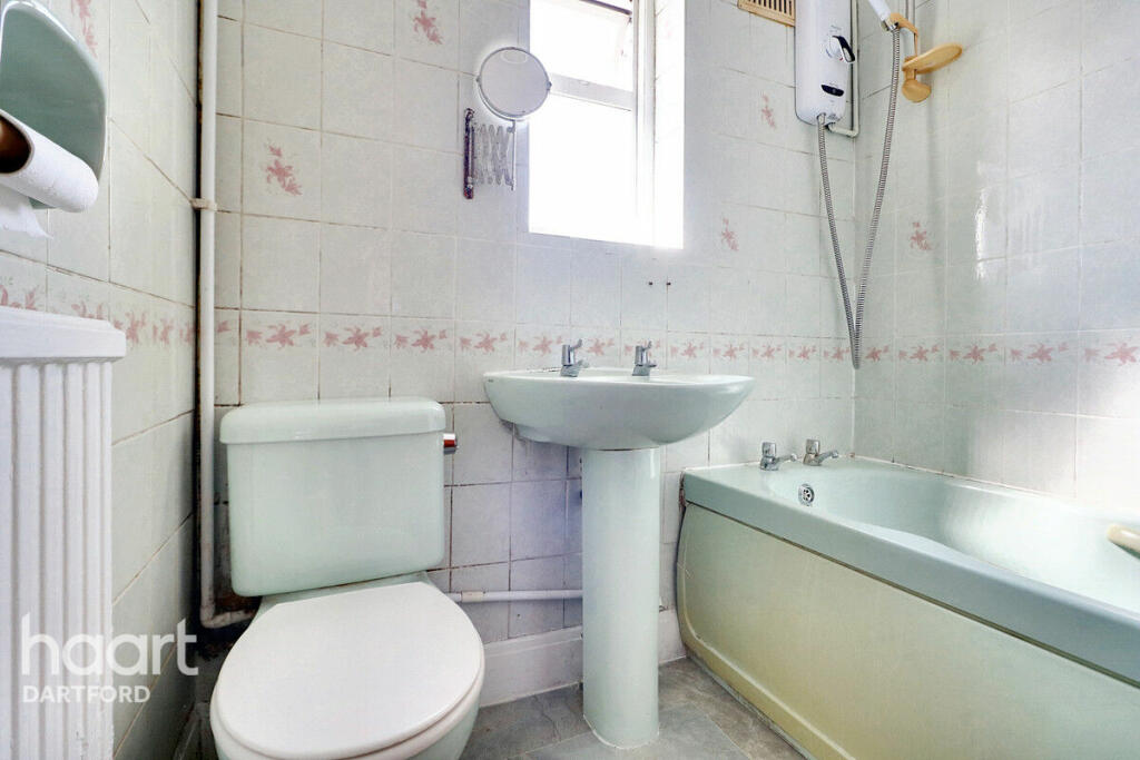
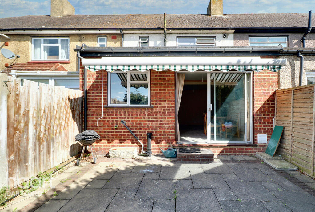
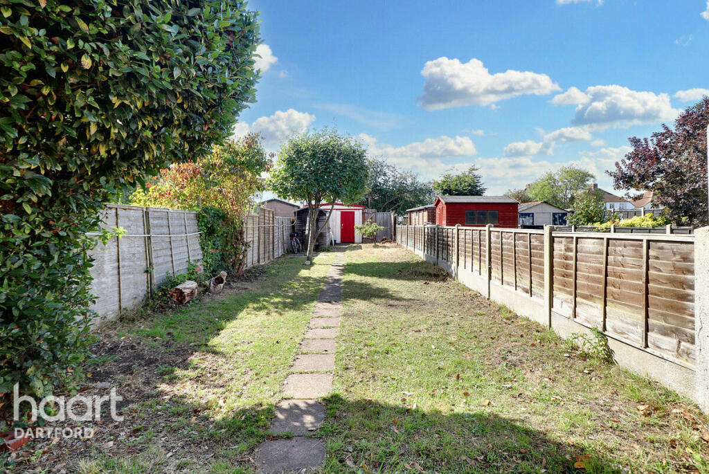
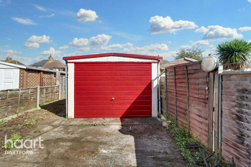
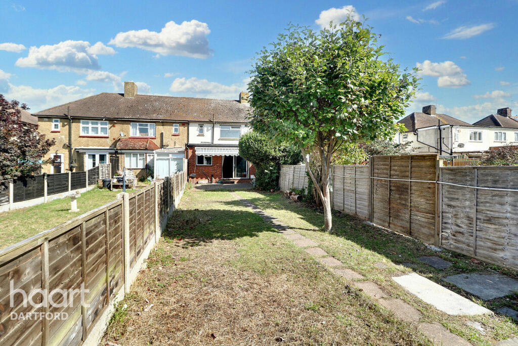
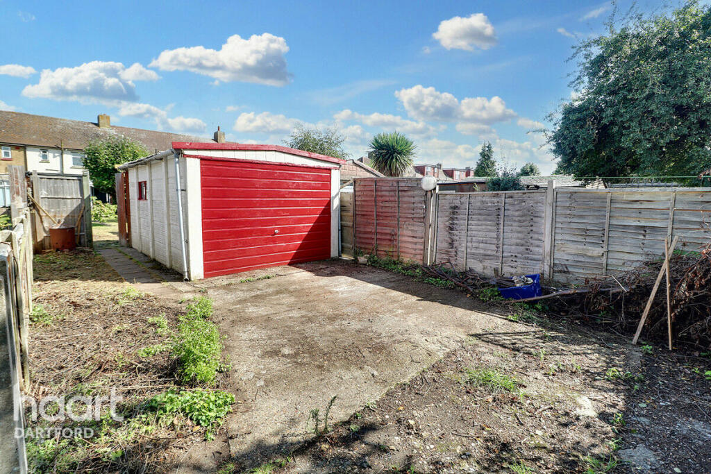
Images
Nearby Streets
| Name | Average Price | Average Sqft | Distance |
|---|---|---|---|
| Riverside Wharf | £ 325,000 | 0 | 0.00 KM |
| Victoria Industrial Park | £ 400,000 | 0 | 0.00 KM |
| Priory Road | £ 0 | 0 | 0.00 KM |
| Zion Cottages | £ 0 | 0 | 0.00 KM |
| West Hill Rise | £ 307,500 | 0 | 0.00 KM |
Nearby Transport
| Name | NLC | TLC | Distance |
|---|---|---|---|
| Dartford | 5101 | DFD | 1.34 KM |
| Slade Green | 5154 | SGR | 2.57 KM |
| Crayford | 5100 | CRY | 3.38 KM |
| Purfleet | 7453 | PFL | 4.31 KM |
| Erith | 5104 | ERH | 4.87 KM |
Nearby Listings
| Address | Price | Type | Score | Distance |
|---|---|---|---|---|
| Burnham Road, Dartford | £ 375,000 | BUY | Unknown | 0.00 KM |
| Burnham Road, Dartford | £ 450,000 | BUY | 7 / 10 | 0.01 KM |
| Chatsworth Road, Dartford | £ 400,000 | BUY | 7 / 10 | 0.14 KM |
| Paper Mill Lane, Dartford, Kent, DA1 | £ 550,000 | BUY | 6 / 10 | 0.15 KM |
| Eleanor Close, Dartford | £ 675,000 | BUY | 7 / 10 | 0.17 KM |
Nearby Properties
| Address | Price | Distance |
|---|---|---|
| 13 Papermill Lane | £ 286,000 | 0.14 KM |
| 1 The Green | £ 483,000 | 0.14 KM |
| 4 Papermill Lane | £ 250,000 | 0.14 KM |
| 14 The Green | £ 327,000 | 0.14 KM |
| 8 The Green | £ 335,000 | 0.14 KM |