

Michaels Way, Sling, Coleford
By Dean Estate Agents
£ 210,000
Reviews
3 out of 5 stars
Dean Estate Agents says ..
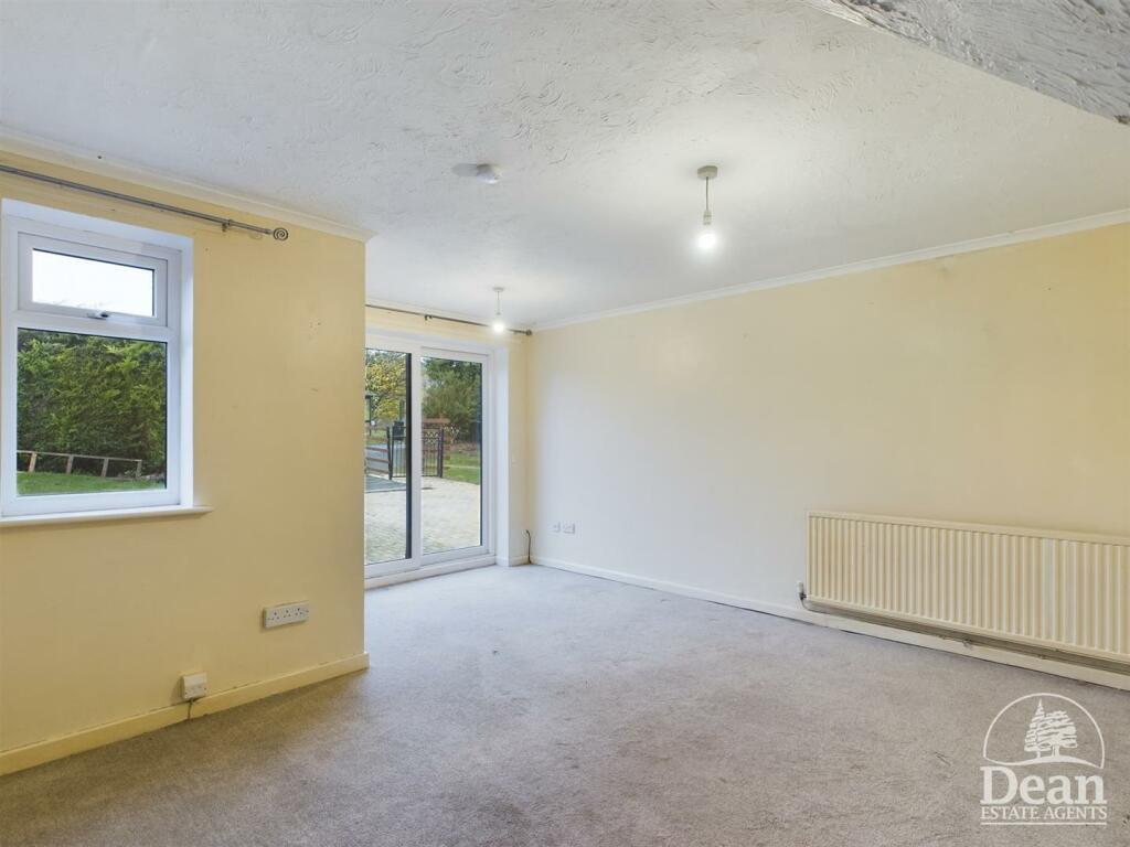
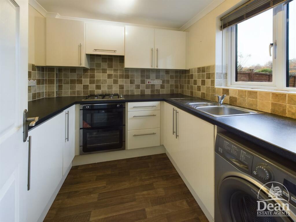
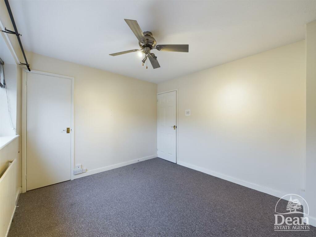
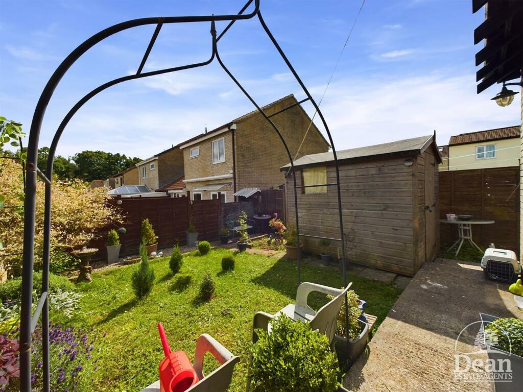
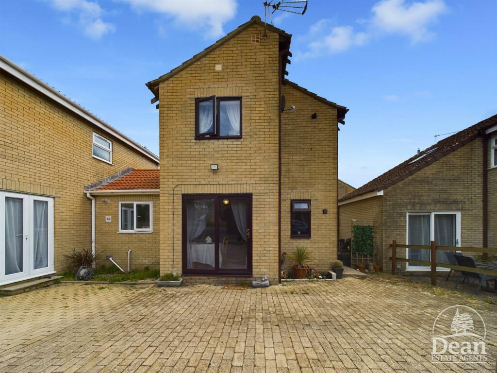
***VIRTUAL TOUR AVAILABLE*** NO ONWARD CHAIN. Dean Estate Agents are pleased to offer this link detached house located in Sling, Coleford. The home features a generous lounge diner with double sliding doors to the front, a well-equipped kitchen with ample storage, two spacious bedrooms, and...
Property Oracle says ..
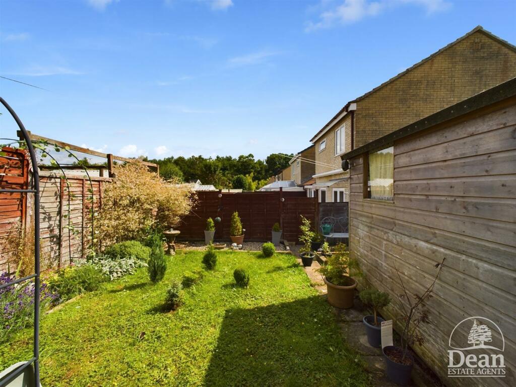
The property is a two-bedroom link-detached house located in Sling, Coleford, Gloucestershire. Based on the provided information and images, the property appears to be in generally good condition. The kitchen and bathroom look reasonably modern and well-maintained. The property includes a garden, which is a desirable feature. The list price is £210,000. The average price for properties in the area is £250,983, and the average price per square foot is £255. Given that the property’s size is 584.48 sqft, a rough estimate based on the average price per sqft would be around £149,000. However, the average price and price per sqft in the area may not accurately reflect the value of this specific property due to the lack of sqft information for comparable properties. The list price of £210,000 appears to be on the higher end compared to some similar properties listed in the area, but more detailed information on the condition and features of comparable properties would be needed to make a more definitive assessment of the price. The proximity to several primary schools within a reasonable distance is a positive aspect for families. However, information on secondary schools and other amenities such as shops and transportation links is lacking, making a complete assessment of the location difficult.
Therefore, we give this property 6 / 10. *Disclaimer: This is our option and does constitute a recommendation or financial advice. Do your own research. *
- Price
- 6
- Condition
- 7
- Location
- 6
- Land
- 7
- Bedrooms
- 2
- Bathrooms
- 1
- Sqft (est)
- 584.48
The heatmap indicates the level of crime in the area. The color of the heatmap indicates the crime severity and recency.
Metrics Year-on-Year
- Average area value
- 268,125.00 £Increased by 15.58 %
- Est sale value
- 159,563.04 £Increased by 19.21 %
- Average area rental value
- 1,044.00 £/moIncreased by 5.56 %
- Est letting value
- 584.48 £/mo
- Est rental Yield
- 4.67 %Decreased by 8.79 %
- Crime Rate
- 80.00 %Unchanged by 0.00 %
Agent Activity
Dean Estate Agents created the listing.
Nearby Schools
| Name | Type | Ofsted | Distance |
|---|---|---|---|
| Ellwood Primary School | Community School | Good | 1.06 KM |
| Clearwell Church Of England Primary School | Voluntary Controlled School | Good | 2.21 KM |
| Coalway Junior School | Community School | Good | 2.64 KM |
| Coalway Community Infant School | Community School | Outstanding | 2.64 KM |
| The Family Tree Children'S Centre (Leaves) | Children's Centre | 3.63 KM |
Images


Nearby Streets
| Name | Average Price | Average Sqft | Distance |
|---|---|---|---|
| Chepstow Road | £ 0 | 0 | 0.00 KM |
| Fern Road | £ 235,000 | 0 | 0.00 KM |
| Lambsquay Road | £ 0 | 0 | 0.00 KM |
| Council Houses | £ 0 | 0 | 0.00 KM |
Nearby Listings
| Address | Price | Type | Score | Distance |
|---|---|---|---|---|
| Michaels Way, Sling, Coleford | £ 210,000 | BUY | 6 / 10 | 0.00 KM |
| Michaels Way, Sling, Coleford | £ 235,000 | BUY | 6 / 10 | 0.08 KM |
| Michaels Way, Sling, Coleford | £ 425,000 | BUY | 7 / 10 | 0.08 KM |
| Meadow Walk, Sling, Coleford | £ 200,000 | BUY | 5 / 10 | 0.10 KM |
| Sling, Nr Coleford | £ 295,000 | BUY | 6 / 10 | 0.10 KM |
Nearby Properties
| Address | Price | Distance |
|---|---|---|
| 22 Michaels Way | £ 260,000 | 0.07 KM |
| 3 Michaels Way | £ 168,000 | 0.07 KM |
| 4 Michaels Way | £ 118,000 | 0.07 KM |
| 20 Michaels Way | £ 169,000 | 0.07 KM |
| 7 Michaels Way | £ 212,000 | 0.07 KM |