EL
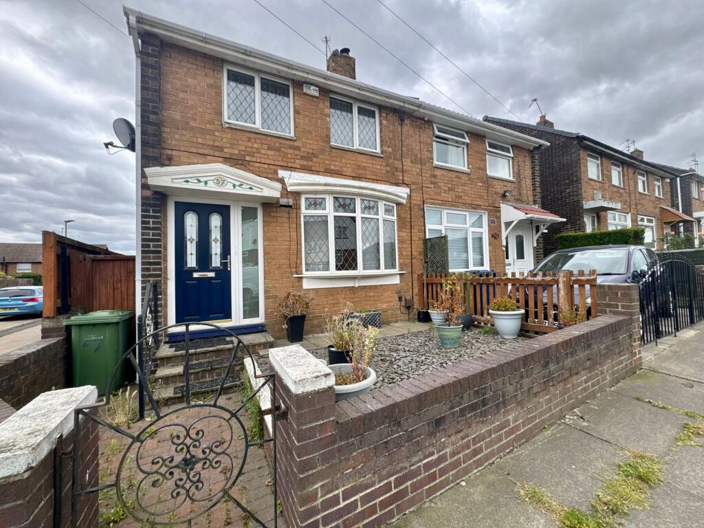
Arbroath Road, Sunderland, SR3
By ElliotLee
£ 800
ElliotLee says ..
*** READY TO MOVE INTO - A MUST SEE *** Available now and in a popular location arrange your viewing today.
- Bedrooms
- 2
- Bathrooms
- 1
The heatmap indicates the level of crime in the area. The color of the heatmap indicates the crime severity and recency.
Metrics Year-on-Year
- Average area value
- 188,119.00 £Decreased by 3.84 %
- Average area rental value
- 595.00 £/moDecreased by 4.49 %
- Est rental Yield
- 3.80 %Decreased by 0.52 %
- Crime Rate
- 9.00 %Unchanged by 0.00 %
from 195,635.00 £
from 623.00 £/mo
from 3.82 %
from 9.00 %
Agent Activity
ElliotLee created the listing.
Nearby Schools
| Name | Type | Ofsted | Distance |
|---|---|---|---|
| Farringdon Academy | Academy Converter | Requires improvement | 0.42 KM |
| Farringdon Community Academy | Academy Converter | Requires improvement | 0.59 KM |
| Thorney Close Primary School | Community School | Good | 0.66 KM |
| Hasting Hill Academy | Academy Sponsor Led | Good | 0.67 KM |
| Sunderland Children'S Centre West | Children's Centre | 0.79 KM |
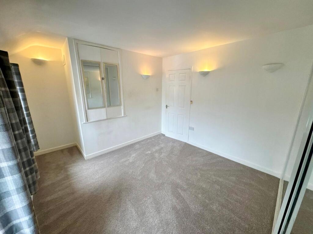
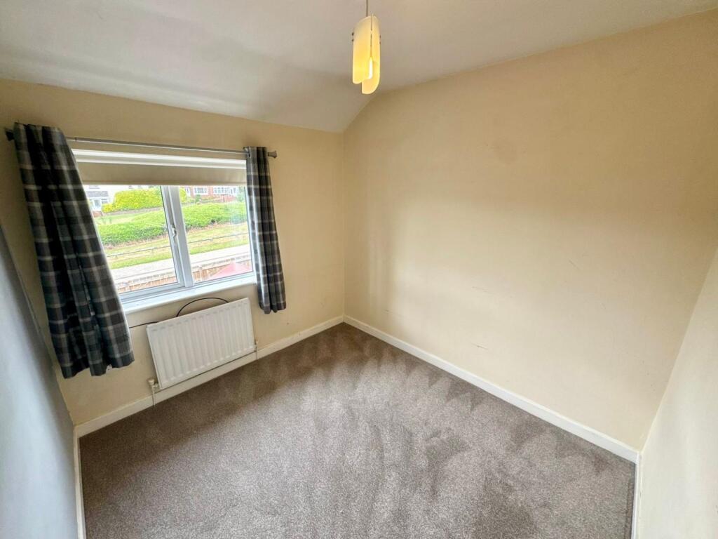
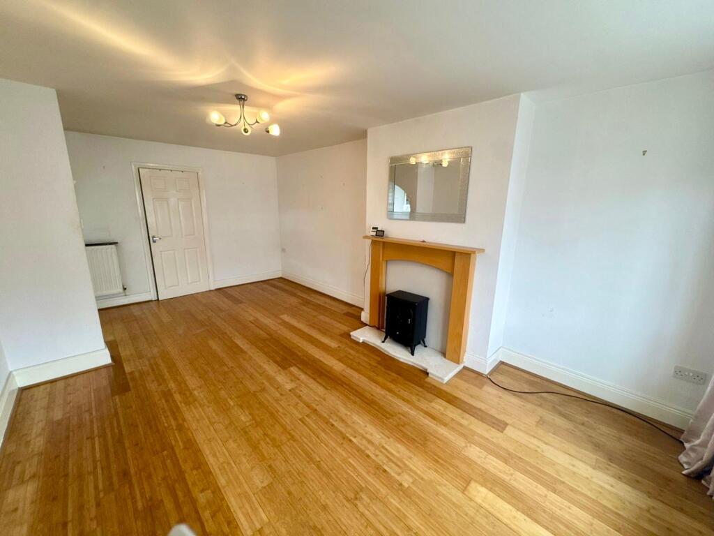
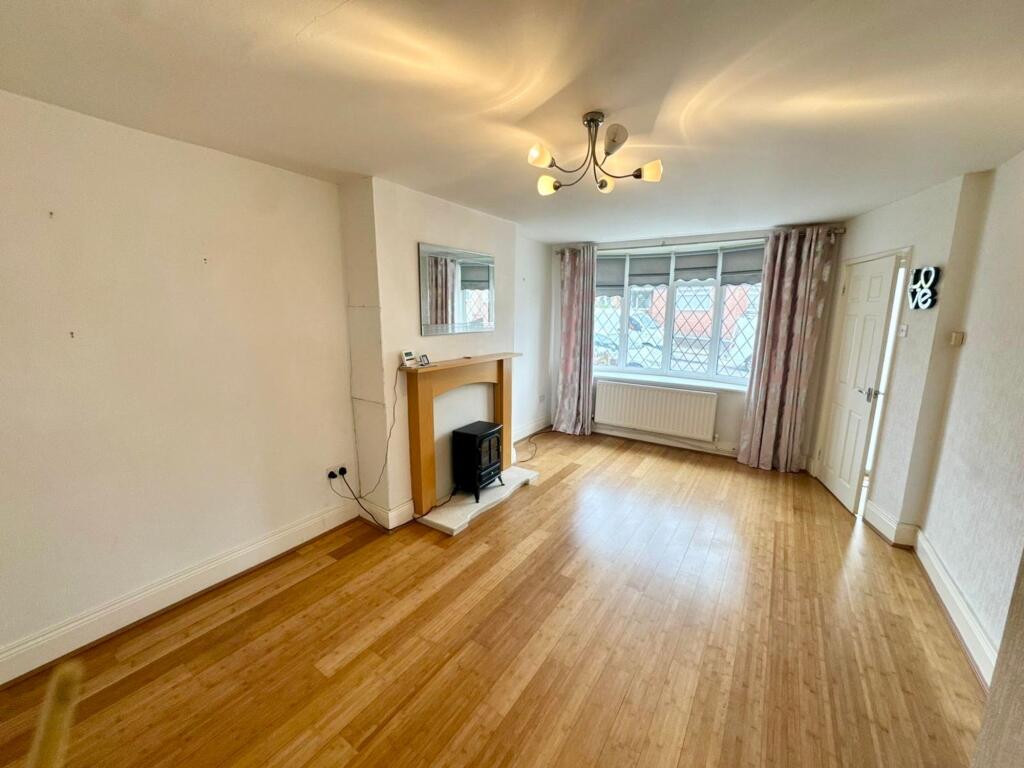
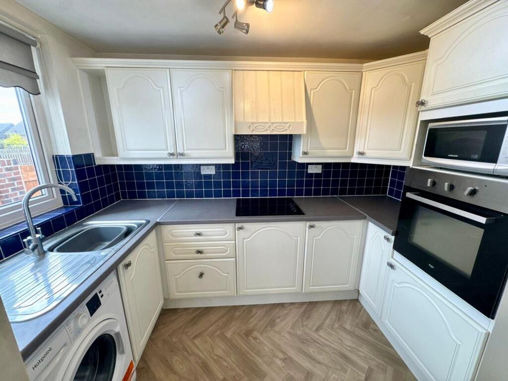
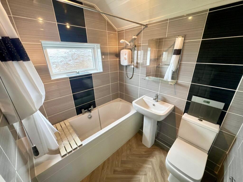
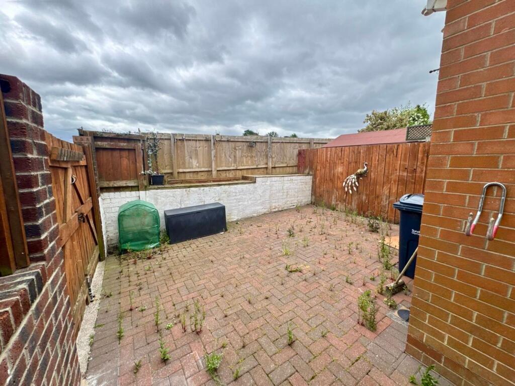
Images

Nearby Streets
| Name | Average Price | Average Sqft | Distance |
|---|---|---|---|
| Castle Mews | £ 59,950 | 0 | 0.00 KM |
| Thorne Road | £ 0 | 0 | 0.00 KM |
| Tay Road | £ 0 | 0 | 0.00 KM |
| Teddington Road | £ 0 | 0 | 0.00 KM |
| Tuscan Road | £ 75,000 | 0 | 0.00 KM |
Nearby Transport
| Name | NLC | TLC | Distance |
|---|---|---|---|
| Sunderland | 7640 | SUN | 6.06 KM |
Nearby Listings
| Address | Price | Type | Score | Distance |
|---|---|---|---|---|
| Arbroath Road, Sunderland, SR3 | £ 785 | RENT | Unknown | 0.00 KM |
| Arbroath Road | £ 600 | RENT | Unknown | 0.10 KM |
| Archer Square, Sunderland | £ 775 | RENT | Unknown | 0.26 KM |
| Antwerp Road, Sunderland, SR3 | £ 675 | RENT | Unknown | 0.48 KM |
| Abercorn Road, Sunderland, Tyne And Wear, SR3 | £ 850 | RENT | Unknown | 0.50 KM |
Nearby Properties
| Address | Price | Distance |
|---|---|---|
| 30 Arbroath Road | £ 98,000 | 0.04 KM |
| 55 Arbroath Road | £ 90,000 | 0.04 KM |
| 61 Arbroath Road | £ 83,000 | 0.05 KM |
| 43 Arbroath Road | £ 64,000 | 0.05 KM |
| 73 Arbroath Road | £ 107,500 | 0.05 KM |