ST
High Street, Sidmouth
By Stags
£ 850
Stags says ..
No summary available.
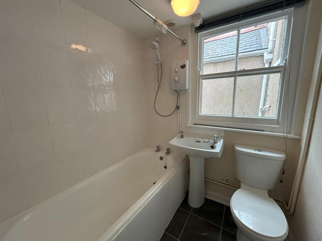
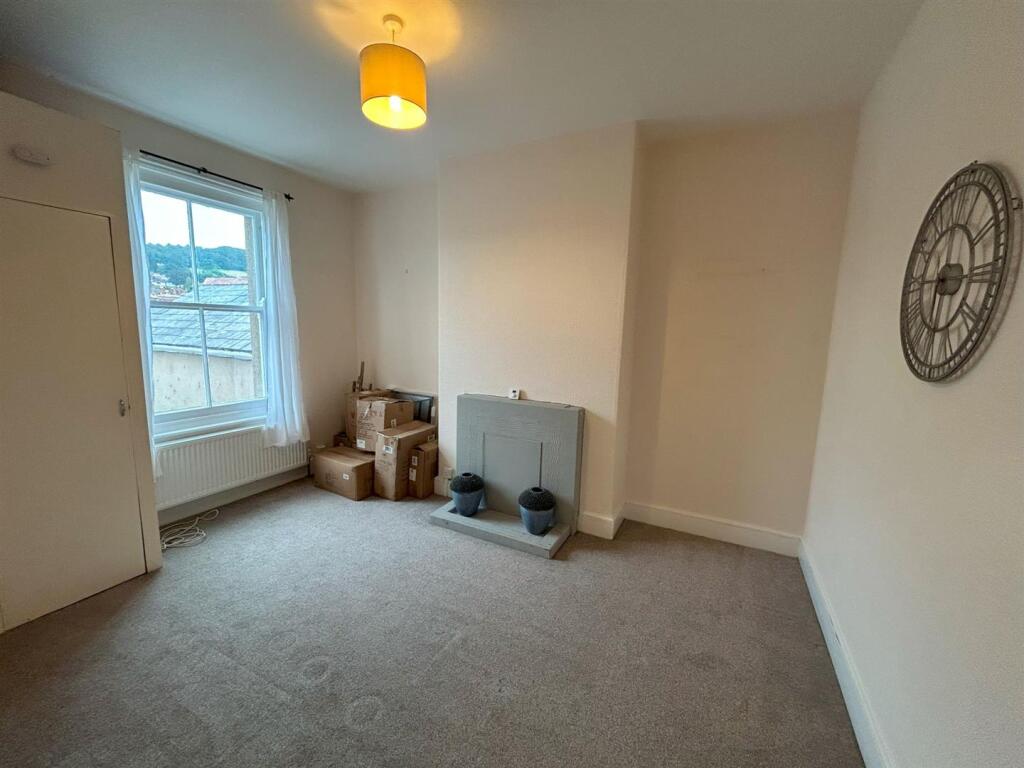
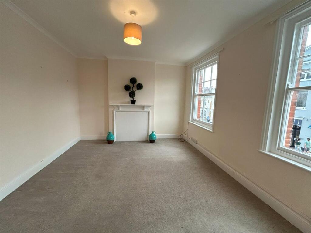
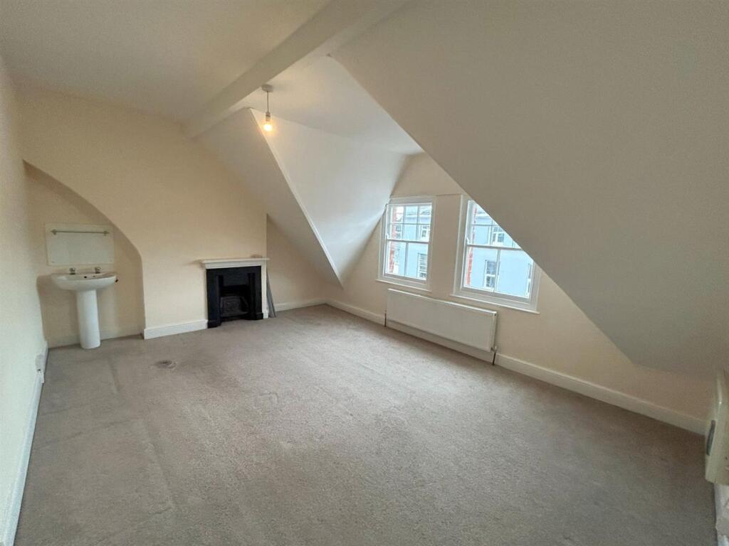
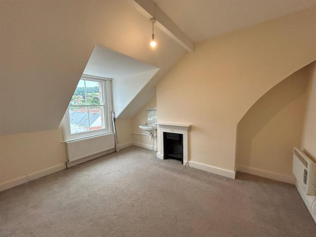
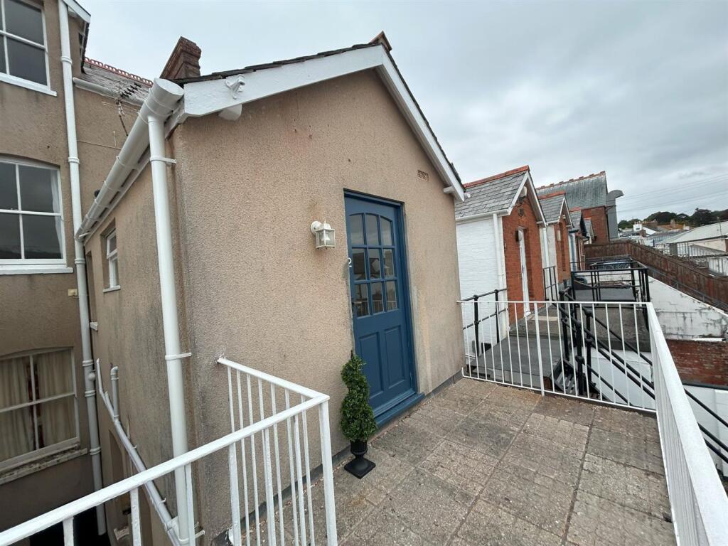
- Bedrooms
- 3
- Bathrooms
- 1
The heatmap indicates the level of crime in the area. The color of the heatmap indicates the crime severity and recency.
Metrics Year-on-Year
- Average area value
- 369,988.00 £Decreased by 30.48 %
- Average area rental value
- 1,400.00 £/moIncreased by 12.27 %
- Est rental Yield
- 4.54 %Increased by 61.57 %
- Crime Rate
- 21.00 %Unchanged by 0.00 %
from 532,219.00 £
from 1,247.00 £/mo
from 2.81 %
from 21.00 %
Agent Activity
Stags created the listing.
Nearby Schools
| Name | Type | Ofsted | Distance |
|---|---|---|---|
| St John'S School | Other Independent School | 1.49 KM | |
| Sidmouth Church Of England (Va) Primary School | Academy Converter | Good | 1.55 KM |
| Sidmouth College | Community School | Good | 1.84 KM |
| Sidmouth Children'S Centre | Children's Centre | 2.10 KM | |
| Sidbury Church Of England Primary School | Academy Converter | Good | 4.62 KM |
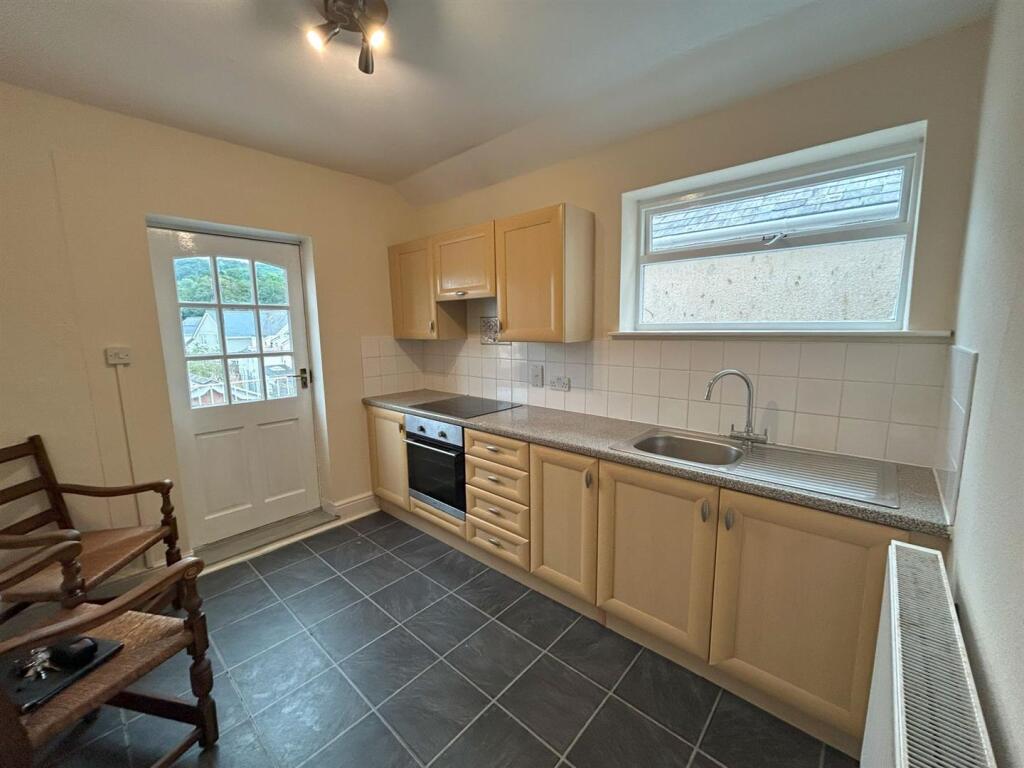
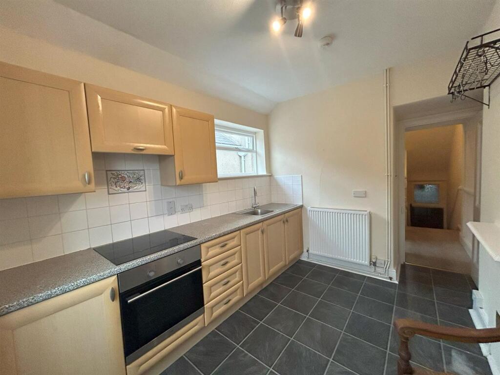
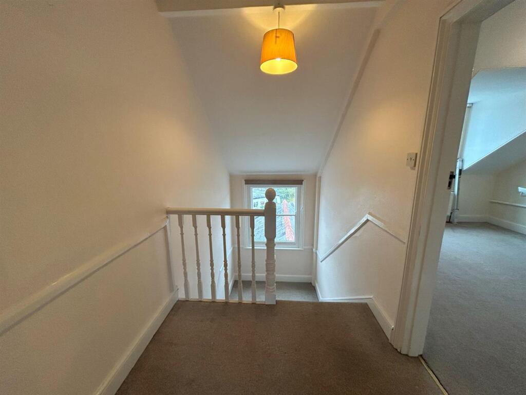
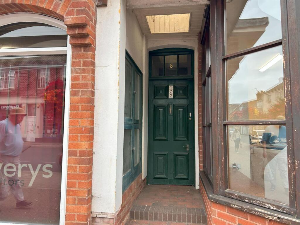
Images


Nearby Streets
| Name | Average Price | Average Sqft | Distance |
|---|---|---|---|
| Milford Road | £ 575,000 | 0 | 0.00 KM |
| Riverside Road | £ 305,000 | 0 | 0.00 KM |
| Milford Road | £ 950,000 | 0 | 0.00 KM |
| Amyatt's Terrace | £ 0 | 0 | 0.00 KM |
| New Street | £ 0 | 0 | 0.00 KM |
Nearby Listings
| Address | Price | Type | Score | Distance |
|---|---|---|---|---|
| High Street, Sidmouth | £ 850 | RENT | Unknown | 0.00 KM |
| Newtown, Sidmouth | £ 900 | RENT | Unknown | 0.08 KM |
| Holmdale, Sidmouth | £ 1,450 | RENT | Unknown | 0.12 KM |
| 1 Salcombe Road, | £ 725 | RENT | Unknown | 0.12 KM |
| 1 Salcombe Road, | £ 725 | RENT | Unknown | 0.12 KM |
Nearby Properties
| Address | Price | Distance |
|---|---|---|
| 83a High Street | £ 148,000 | 0.03 KM |
| 97 High Street | £ 75,000 | 0.03 KM |
| 2 Blackmore Drive | £ 335,000 | 0.03 KM |
| 8 Blackmore Drive | £ 64,000 | 0.03 KM |
| 30 Newtown | £ 196,500 | 0.05 KM |