OB
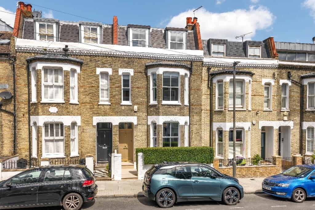
Mallinson Road, London, SW11
By Obbard
£ 6,000
Obbard says ..
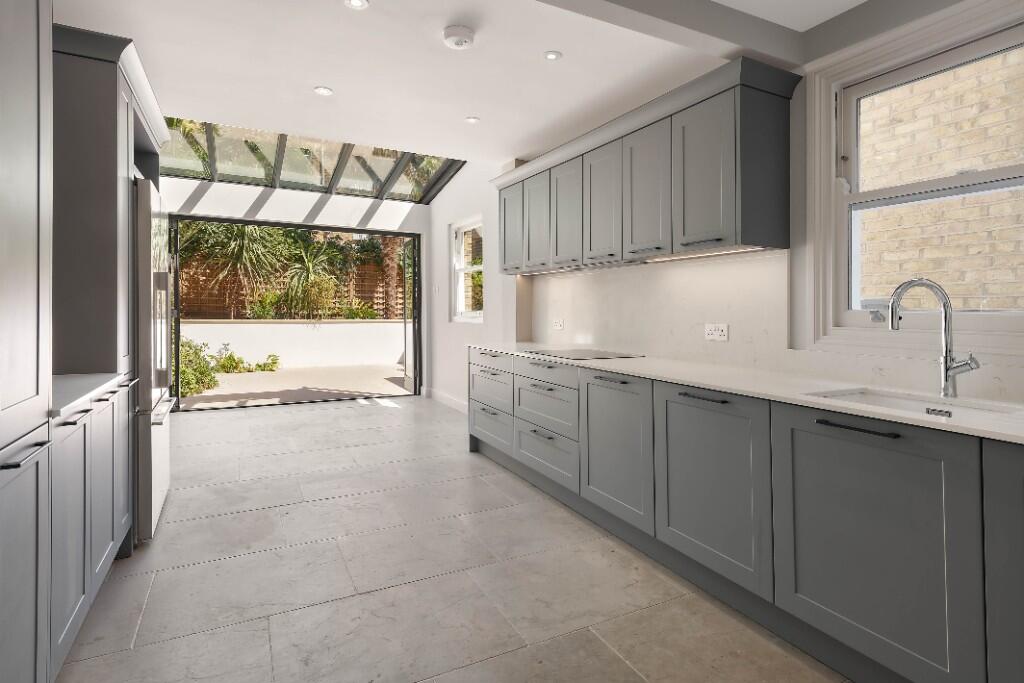
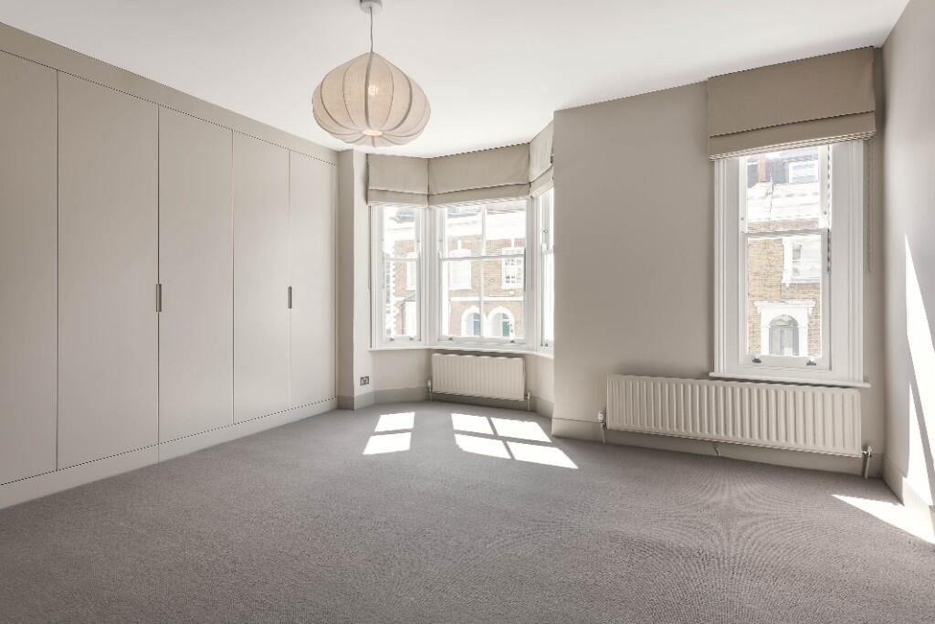
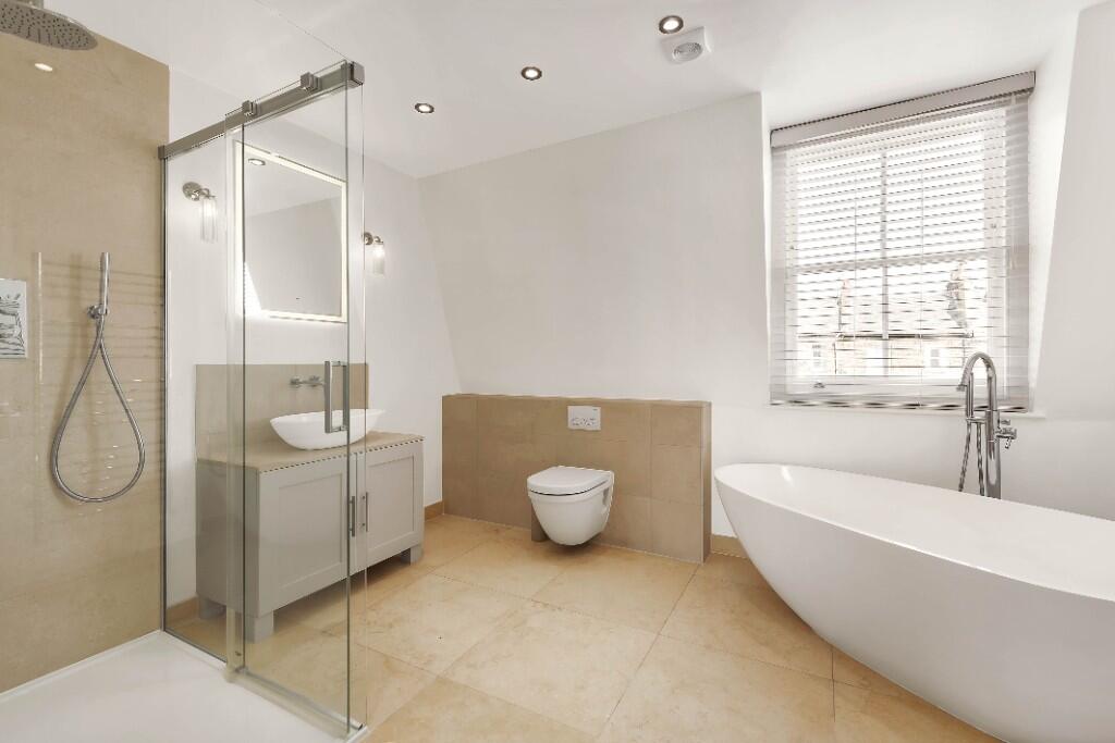
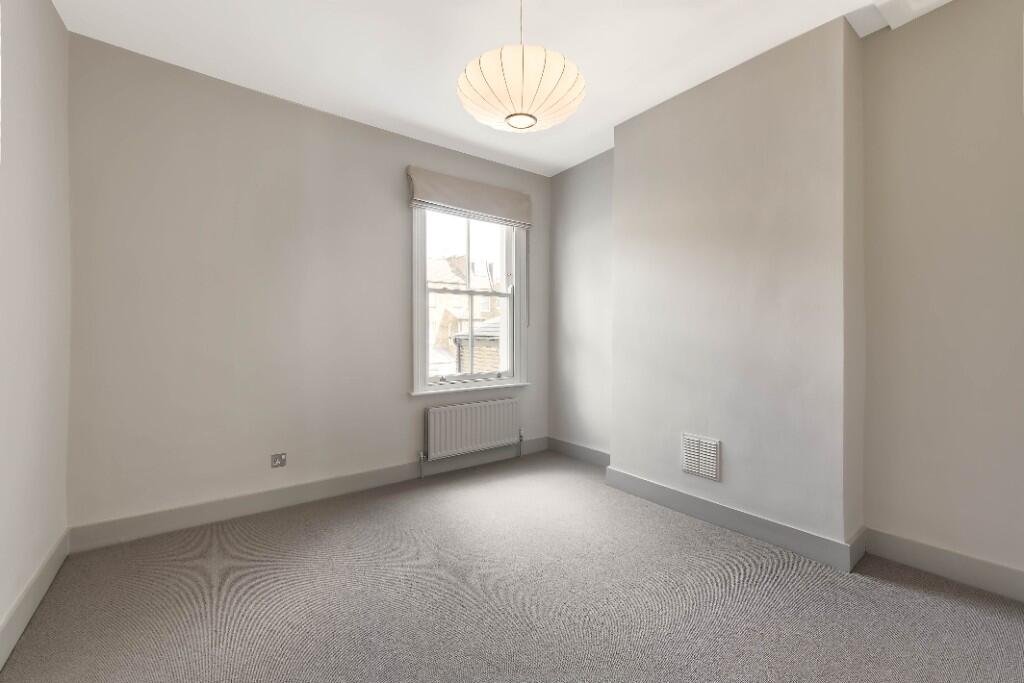
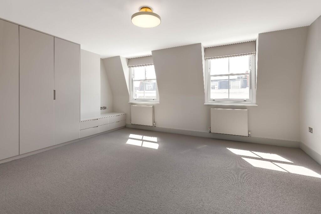
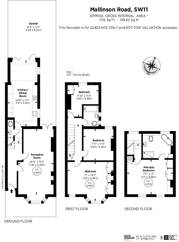
Exceptional Four-Bedroom Family Home Between the Commons
- Bedrooms
- 4
- Bathrooms
- 2
The heatmap indicates the level of crime in the area. The color of the heatmap indicates the crime severity and recency.
Metrics Year-on-Year
- Average area value
- 939,476.00 £Decreased by 7.90 %
- Average area rental value
- 3,276.00 £/moIncreased by 16.67 %
- Est rental Yield
- 4.18 %Increased by 26.67 %
- Crime Rate
- 0.00 %
from 1,020,087.00 £
from 2,808.00 £/mo
from 3.30 %
from 0.00 %
Agent Activity
Obbard created the listing.
Nearby Schools
| Name | Type | Ofsted | Distance |
|---|---|---|---|
| Ark Bolingbroke Academy | Free Schools | Good | 0.24 KM |
| Dolphin School (Incorporating Noahs Ark Nursery Schools) | Other Independent School | 0.28 KM | |
| Emanuel School | Other Independent School | 0.54 KM | |
| Belleville Primary School | Academy Converter | 0.54 KM | |
| Honeywell Junior School | Foundation School | Outstanding | 0.74 KM |
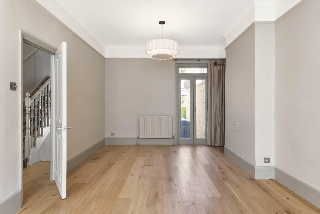
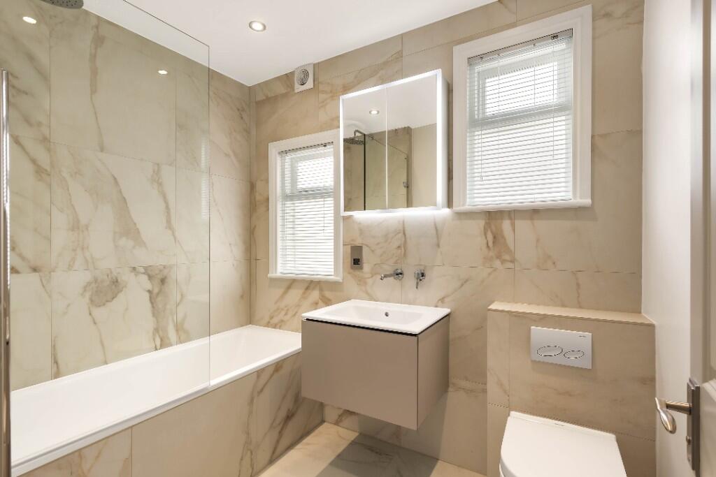
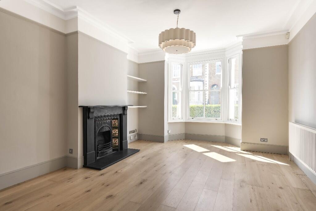
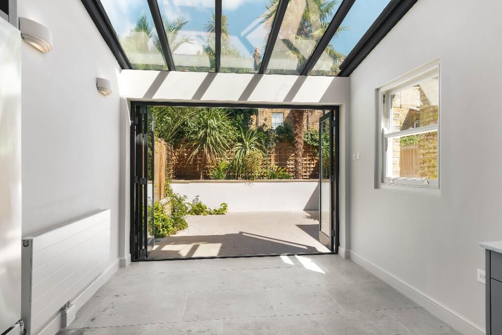
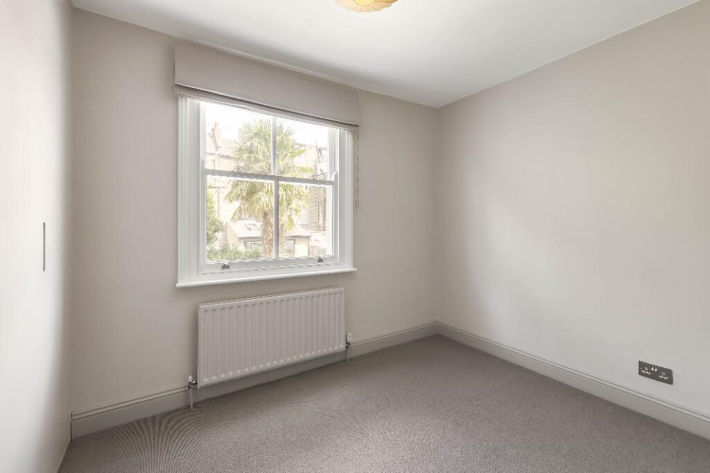
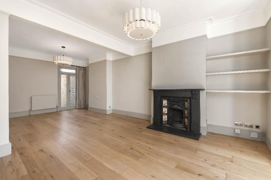
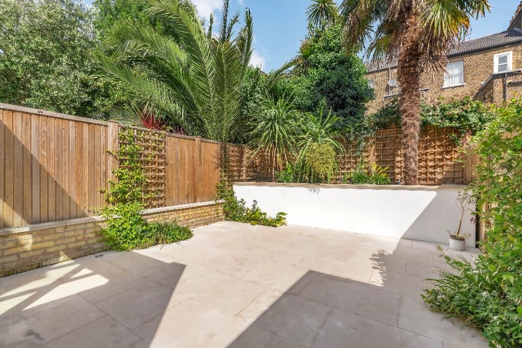
Images
Nearby Streets
| Name | Average Price | Average Sqft | Distance |
|---|---|---|---|
| Auckland Road | £ 701,818 | 0 | 0.00 KM |
| Cairns Road | £ 818,750 | 0 | 0.00 KM |
| Aliwal Road | £ 0 | 0 | 0.00 KM |
| Eckstein Road | £ 950,000 | 0 | 0.00 KM |
| Danvers Avenue | £ 0 | 0 | 0.00 KM |
Nearby Transport
| Name | NLC | TLC | Distance |
|---|---|---|---|
| Clapham Junction | 5595 | CLJ | 0.69 KM |
| Wandsworth Common | 5395 | WSW | 1.45 KM |
| Wandsworth Town | 5576 | WNT | 2.20 KM |
| Balham | 5399 | BAL | 2.43 KM |
| Imperial Wharf | 9586 | IMW | 2.45 KM |
Nearby Listings
| Address | Price | Type | Score | Distance |
|---|---|---|---|---|
| Mallinson Road, London, SW11 | £ 6,000 | RENT | Unknown | 0.00 KM |
| Bennerley Road, Between the Commons, SW11 | £ 2,580 | RENT | Unknown | 0.08 KM |
| Bennerley Road, London, SW11 | £ 6,000 | RENT | Unknown | 0.09 KM |
| Mallinson Road, London, SW11 | £ 4,995 | RENT | Unknown | 0.11 KM |
| Salcott Road, Between the Commons, SW11 | £ 10,000 | RENT | Unknown | 0.12 KM |
Nearby Properties
| Address | Price | Distance |
|---|---|---|
| 53 Mallinson Road | £ 200,000 | 0.01 KM |
| 79 Mallinson Road | £ 375,000 | 0.01 KM |
| 1b Mallinson Road | £ 398,000 | 0.01 KM |
| 21 Mallinson Road | £ 1,400,000 | 0.01 KM |
| 5a Mallinson Road | £ 385,000 | 0.01 KM |