
Kenton Lane, Harrow, HA3 8TX
By Property Hub
£ 1,800
Property Hub says ..
Property located in Kenton Lane, Harrow, HA3 8TX
- Bedrooms
- 2
- Bathrooms
- 1
The heatmap indicates the level of crime in the area. The color of the heatmap indicates the crime severity and recency.
Metrics Year-on-Year
- Average area value
- 341,429.00 £Increased by 9.95 %
- Average area rental value
- 875.00 £/moDecreased by 18.53 %
- Est rental Yield
- 3.08 %Decreased by 25.78 %
- Crime Rate
- 7.00 %Unchanged by 0.00 %
from 310,533.00 £
from 1,074.00 £/mo
from 4.15 %
from 7.00 %
Agent Activity
Property Hub created the listing.
Nearby Schools
| Name | Type | Ofsted | Distance |
|---|---|---|---|
| St Gregory'S Catholic Science College | Academy Converter | Outstanding | 0.54 KM |
| Kenmore Park Children'S Centre | Children's Centre Linked Site | 1.14 KM | |
| Uxendon Manor Primary School | Community School | Good | 1.17 KM |
| Priestmead Primary School And Nursery | Academy Converter | 1.21 KM | |
| Mount Stewart Infant School | Community School | Good | 1.21 KM |
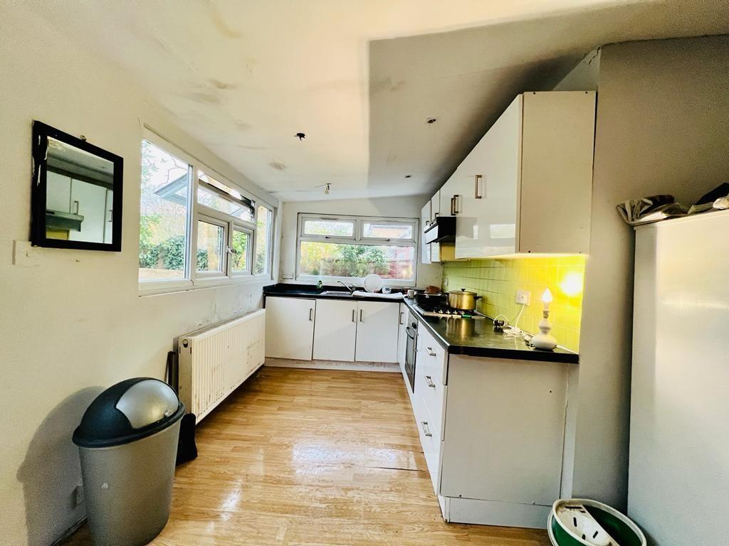
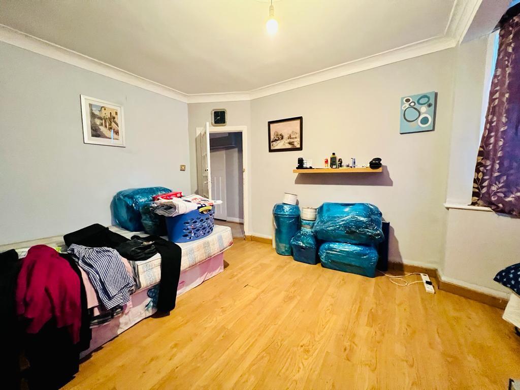
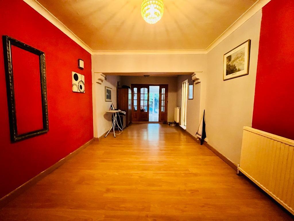
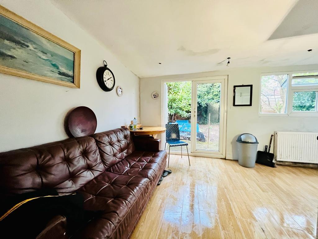
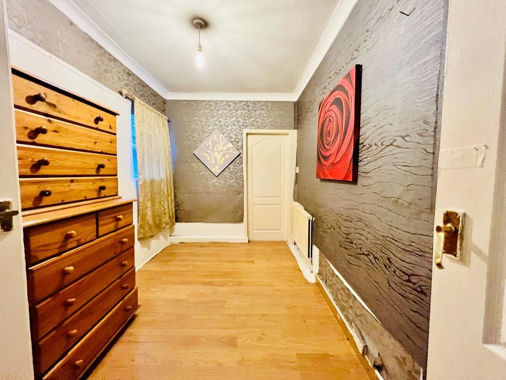
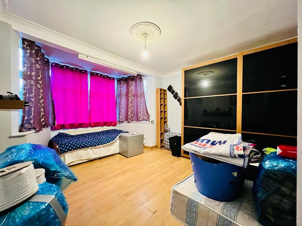
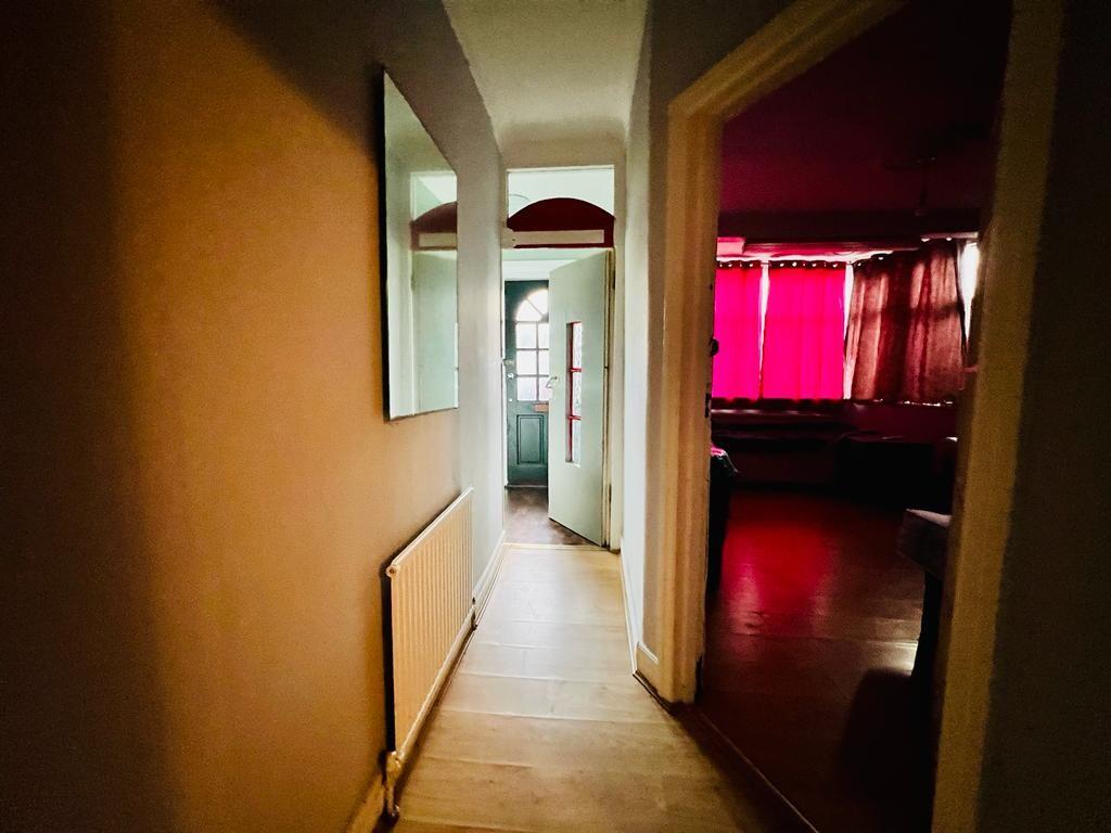
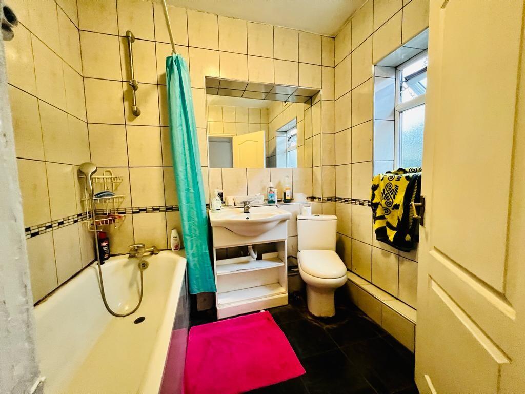
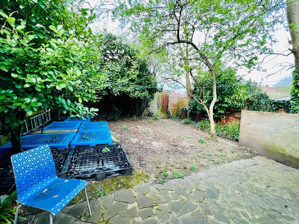
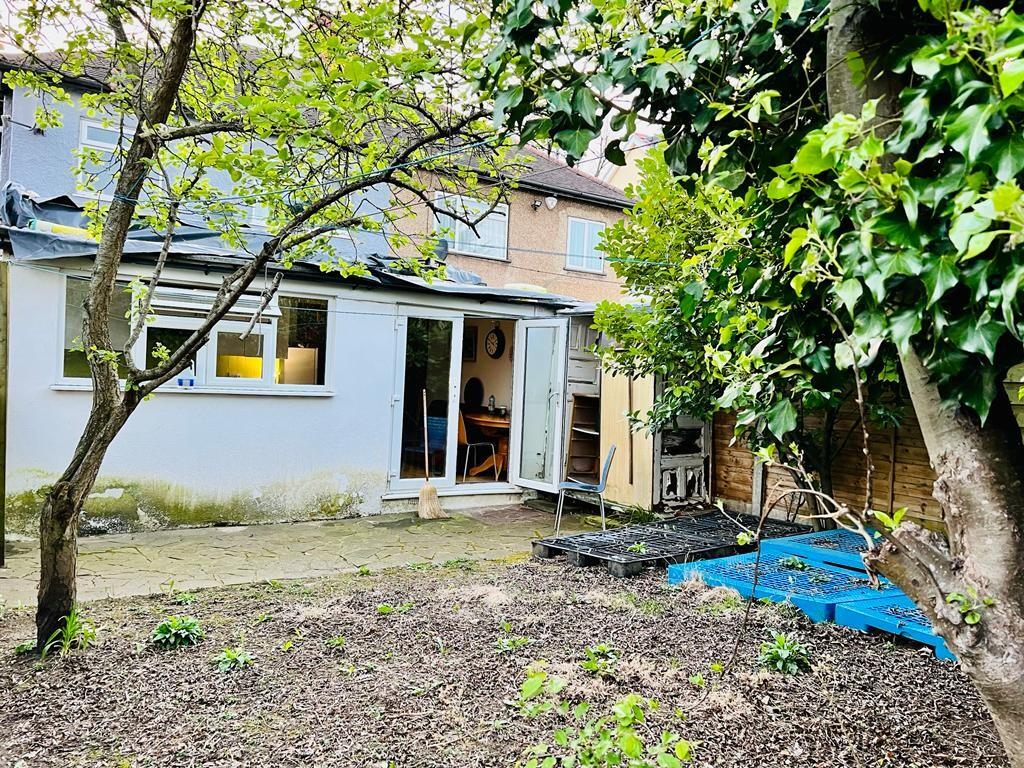
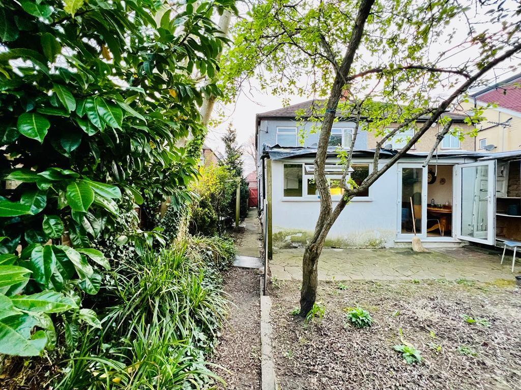
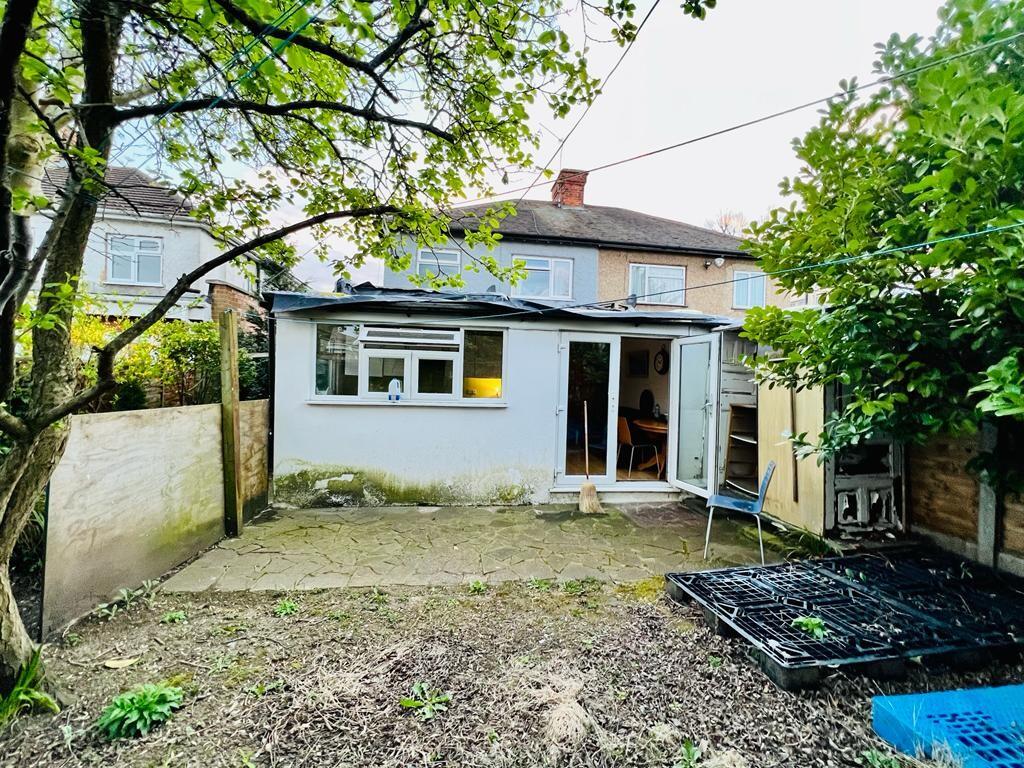
Images


Nearby Streets
| Name | Average Price | Average Sqft | Distance |
|---|---|---|---|
| Kenton Park Parade | £ 185,000 | 0 | 0.00 KM |
| Saint Leonards Avenue | £ 0 | 0 | 0.00 KM |
| Westfield Drive | £ 0 | 0 | 0.00 KM |
| Draycott Close | £ 1,650,000 | 0 | 0.00 KM |
| Ebrington Road | £ 340,000 | 0 | 0.00 KM |
Nearby Transport
| Name | NLC | TLC | Distance |
|---|---|---|---|
| Kenton | 1399 | KNT | 1.24 KM |
| South Kenton | 1453 | SOK | 1.95 KM |
| North Wembley | 1422 | NWB | 2.83 KM |
| Harrow And Wealdstone | 1397 | HRW | 3.03 KM |
| Harrow-On-The-Hill | 598 | HOH | 3.42 KM |
Nearby Listings
| Address | Price | Type | Score | Distance |
|---|---|---|---|---|
| Kenton Lane, Harrow, HA3 8TX | £ 1,800 | RENT | Unknown | 0.00 KM |
| Kenton Lane, Kenton | £ 1,650 | RENT | Unknown | 0.00 KM |
| Kenton Lane, Harrow | £ 175 | RENT | Unknown | 0.12 KM |
| Kenton Road, Harrow, HA3 | £ 1,600 | RENT | Unknown | 0.14 KM |
| Kenton Road, Harrow, HA3 | £ 1,850 | RENT | Unknown | 0.18 KM |
Nearby Properties
| Address | Price | Distance |
|---|---|---|
| 3 Kenton Lane | £ 372,000 | 0.05 KM |
| 7 Kenton Lane | £ 418,000 | 0.05 KM |
| 9 Kenton Lane | £ 610,000 | 0.05 KM |
| 13 Kenton Lane | £ 730,000 | 0.07 KM |
| 26 Kenton Park Road | £ 527,000 | 0.14 KM |