TH
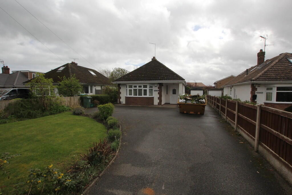
Pant Lane, Gresford
By Thomas Property Group
£ 1,200
Thomas Property Group says ..
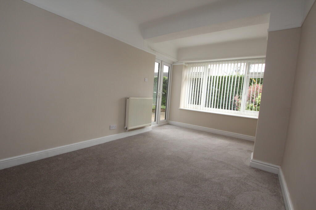
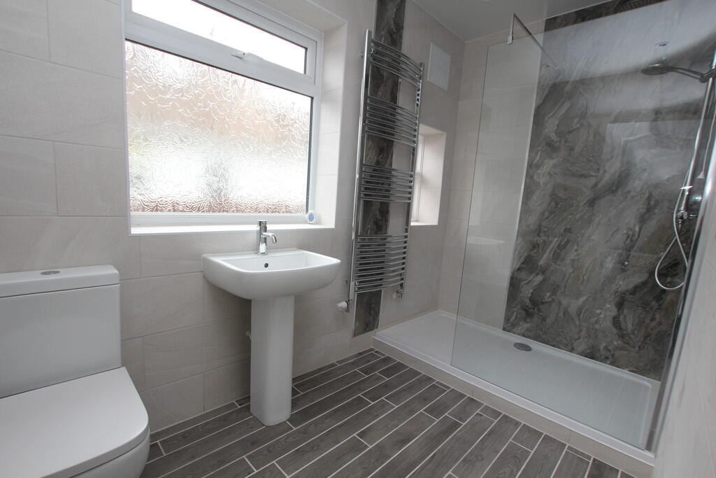
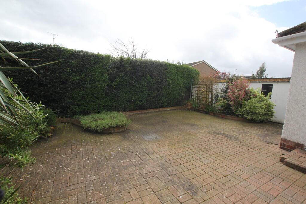
**** RECENTLY REFURBISHED 2 BED BUNGALOW - VILLAGE LOCATION - UNFURNISHED - AVAILABLE MID OCTOBER ****
- Bedrooms
- 2
- Bathrooms
- 1
The heatmap indicates the level of crime in the area. The color of the heatmap indicates the crime severity and recency.
Metrics Year-on-Year
- Average area value
- 502,500.00 £Increased by 40.73 %
- Average area rental value
- 961.00 £/moDecreased by 1.13 %
- Est rental Yield
- 2.29 %Decreased by 29.97 %
- Crime Rate
- 21.00 %Unchanged by 0.00 %
from 357,077.00 £
from 972.00 £/mo
from 3.27 %
from 21.00 %
Agent Activity
Thomas Property Group created the listing.
Nearby Schools
| Name | Type | Ofsted | Distance |
|---|---|---|---|
| The Rofft C.P. School | Welsh Establishment | 0.77 KM | |
| All Saints Primary School | Welsh Establishment | 1.24 KM | |
| Barker'S Lane C.P. School | Welsh Establishment | 2.35 KM | |
| Park Community Primary School | Welsh Establishment | 3.75 KM | |
| St Peter'S Ciw Voluntary Controlled Primary School | Welsh Establishment | 3.77 KM |
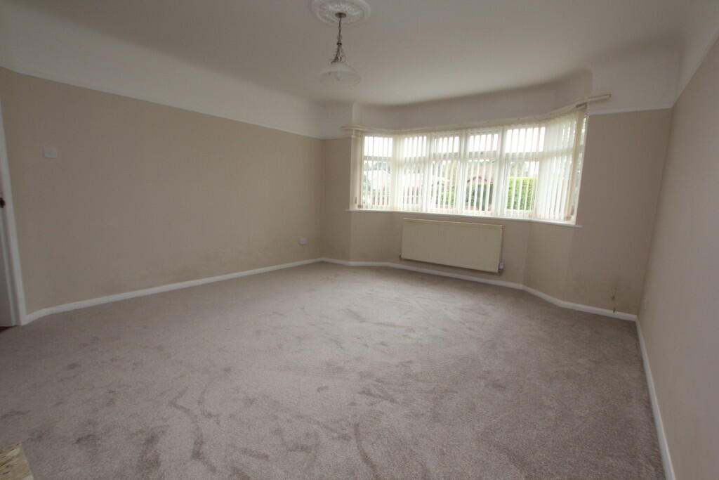
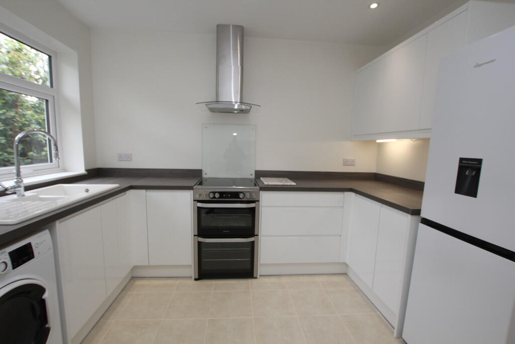
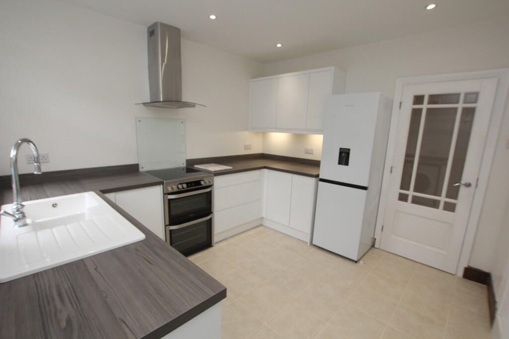
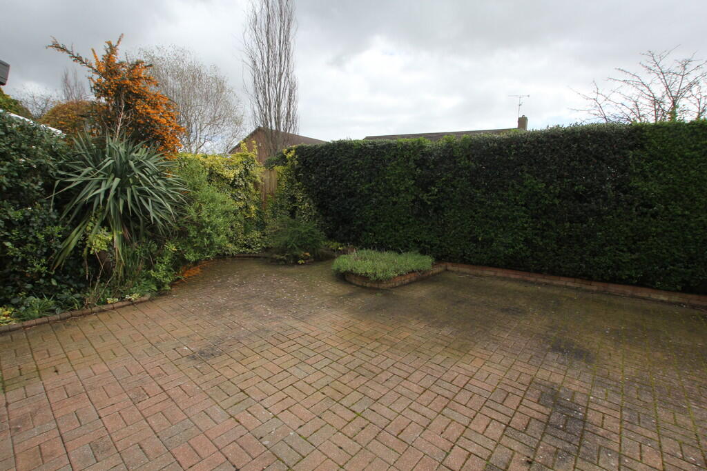
Images


Nearby Streets
| Name | Average Price | Average Sqft | Distance |
|---|---|---|---|
| Chester Road | £ 425,000 | 0 | 0.00 KM |
| Beech Avenue | £ 0 | 0 | 0.00 KM |
| Maple Close | £ 280,000 | 0 | 0.00 KM |
| Lime Avenue | £ 0 | 0 | 0.00 KM |
| Parsonage Close | £ 0 | 0 | 0.00 KM |
Nearby Transport
| Name | NLC | TLC | Distance |
|---|---|---|---|
| Wrexham General | 4487 | WRX | 5.91 KM |
| Gwersyllt | 4300 | GWE | 5.98 KM |
| Wrexham Central | 4486 | WXC | 6.01 KM |
| Cefn-Y-Bedd | 2425 | CYB | 7.20 KM |
| Caergwrle | 2536 | CGW | 7.60 KM |
Nearby Listings
| Address | Price | Type | Score | Distance |
|---|---|---|---|---|
| Pant Lane, Gresford | £ 1,200 | RENT | Unknown | 0.00 KM |
| Hollyfields, LL12 | £ 1,300 | RENT | Unknown | 0.28 KM |
| Burton Rise, Gresford, LL12 | £ 895 | RENT | Unknown | 0.36 KM |
| Burton Rise, Gresford, Wrexham | £ 895 | RENT | Unknown | 0.36 KM |
| Annefield Park, Gresford, Wrexham | £ 950 | RENT | Unknown | 0.47 KM |
Nearby Properties
| Address | Price | Distance |
|---|---|---|
| Oakdale | £ 405,000 | 0.00 KM |
| Abbey View | £ 116,000 | 0.00 KM |
| Edge Croft | £ 717,500 | 0.00 KM |
| Ross Alyn | £ 268,000 | 0.00 KM |
| Malgwen | £ 230,000 | 0.00 KM |