HL
Leigh
By HLGB
£ 890
HLGB says ..
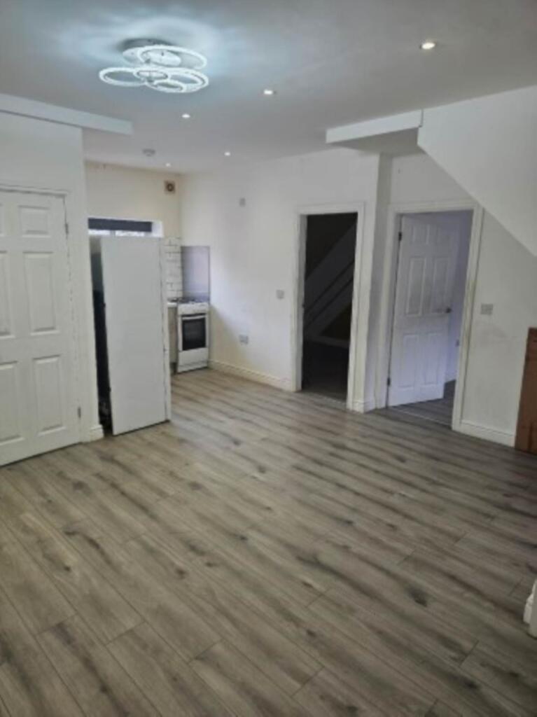
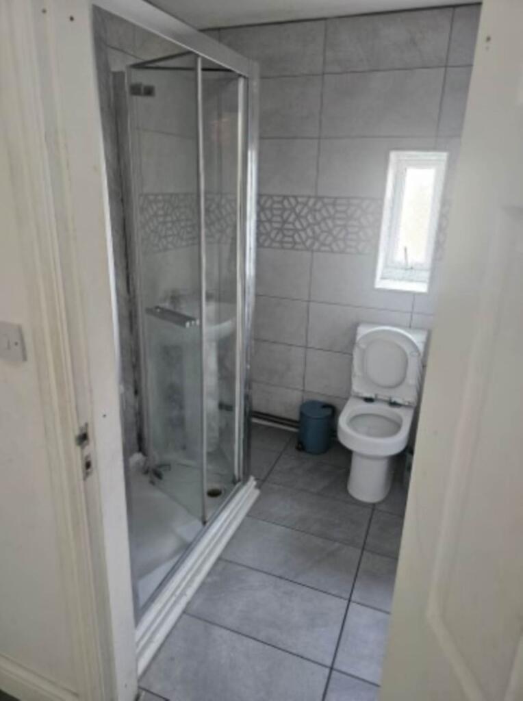
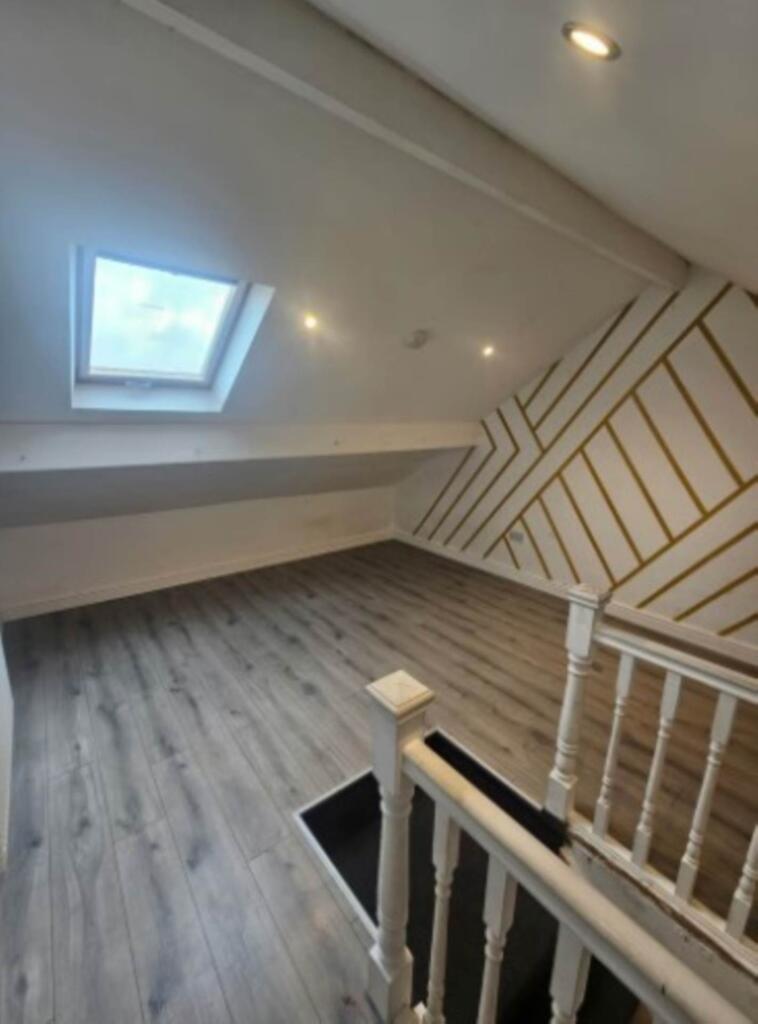
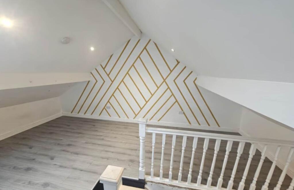
A modern 3 bedroom apartment to let
- Bedrooms
- 3
- Bathrooms
- 1
The heatmap indicates the level of crime in the area. The color of the heatmap indicates the crime severity and recency.
Metrics Year-on-Year
- Average area value
- 158,694.00 £Increased by 2.03 %
- Average area rental value
- 976.00 £/moIncreased by 24.81 %
- Est rental Yield
- 7.38 %Increased by 22.39 %
- Crime Rate
- 0.00 %
from 155,532.00 £
from 782.00 £/mo
from 6.03 %
from 0.00 %
Agent Activity
HLGB created the listing.
Nearby Schools
| Name | Type | Ofsted | Distance |
|---|---|---|---|
| Leigh St Mary'S Cofe Primary School | Voluntary Aided School | Good | 0.30 KM |
| Christ Church Cofe Primary School, Pennington | Voluntary Aided School | Good | 0.35 KM |
| Leigh Central Sure Start Children'S Centre | Children's Centre Linked Site | 0.41 KM | |
| Leigh Central Primary School | Community School | Good | 0.41 KM |
| Sacred Heart Catholic Primary School Leigh | Voluntary Aided School | Good | 0.43 KM |
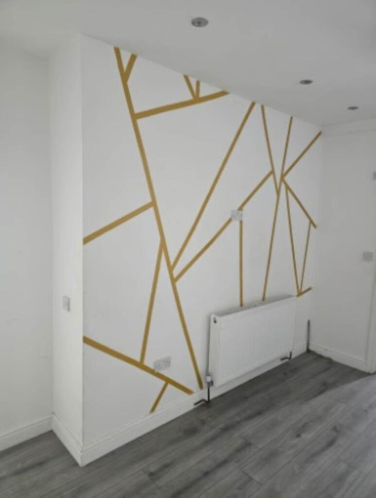
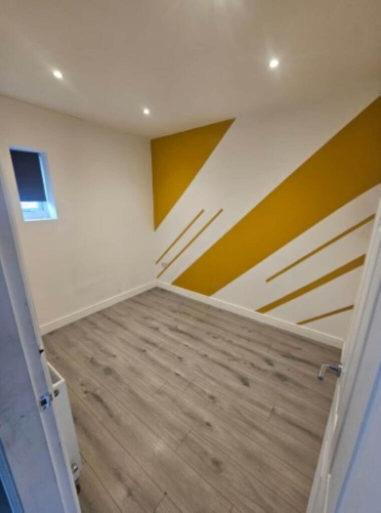
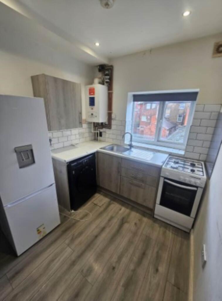
Images
Nearby Streets
| Name | Average Price | Average Sqft | Distance |
|---|---|---|---|
| Cook Street | £ 0 | 0 | 0.00 KM |
| Spinning Jenny Way | £ 155,000 | 0 | 0.00 KM |
| Market Street | £ 395,000 | 0 | 0.00 KM |
| Ellesmere Street | £ 0 | 0 | 0.00 KM |
| Navigation Close | £ 0 | 0 | 0.00 KM |
Nearby Transport
| Name | NLC | TLC | Distance |
|---|---|---|---|
| Daisy Hill | 2777 | DSY | 4.88 KM |
| Hag Fold | 2585 | HGF | 5.10 KM |
| Atherton | 2584 | ATN | 5.91 KM |
| Westhoughton | 2619 | WHG | 6.66 KM |
| Hindley | 2398 | HIN | 7.96 KM |
Nearby Listings
| Address | Price | Type | Score | Distance |
|---|---|---|---|---|
| Leigh | £ 890 | RENT | Unknown | 0.00 KM |
| Youd Street, Leigh | £ 825 | RENT | Unknown | 0.05 KM |
| Youd Street, Leigh | £ 825 | RENT | Unknown | 0.05 KM |
| King Street, Leigh, WN7 4LR | £ 750 | RENT | Unknown | 0.08 KM |
| Railway Road, 25 Railway Road, WN7 | £ 347 | RENT | Unknown | 0.09 KM |
Nearby Properties
| Address | Price | Distance |
|---|---|---|
| 26 Cook Street | £ 53,000 | 0.01 KM |
| 32 Cook Street | £ 38,500 | 0.01 KM |
| 36 Cook Street | £ 90,000 | 0.01 KM |
| 10 Cook Street | £ 2,500 | 0.01 KM |
| 9 Cook Street | £ 24,250 | 0.01 KM |