PO
4 Bedroom, Gwenfron Street
By Point Properties
£ 130
Point Properties says ..
Available for the 2026/27 academic year for only £130 per person per week, inclusive of all bills.
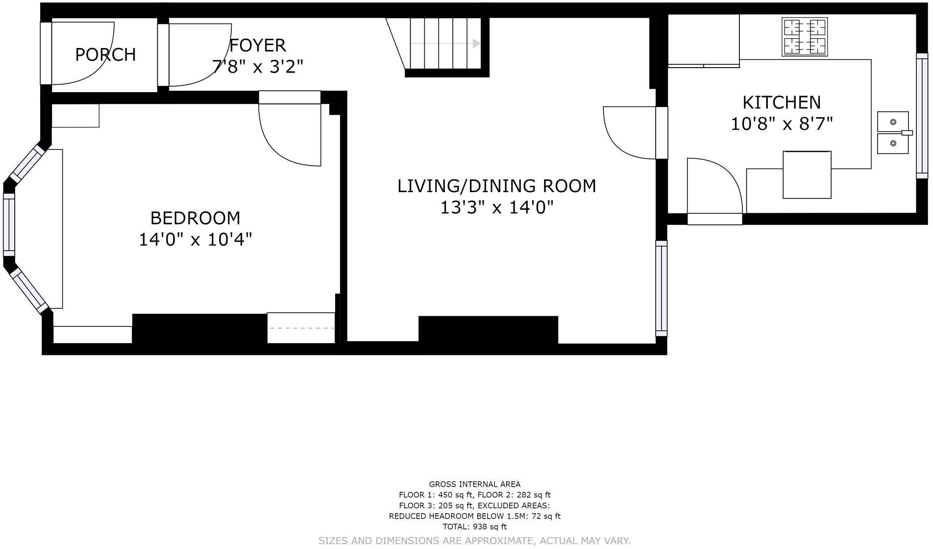
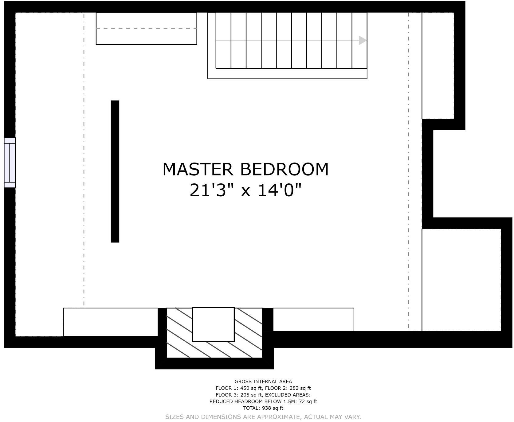
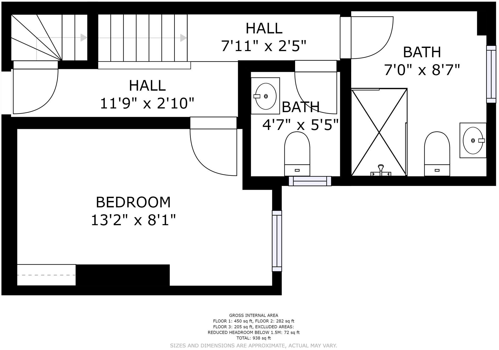
- Bedrooms
- 4
- Bathrooms
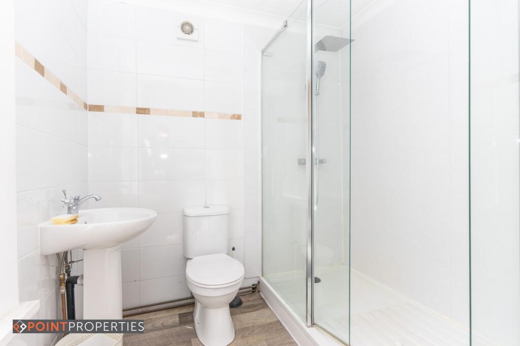
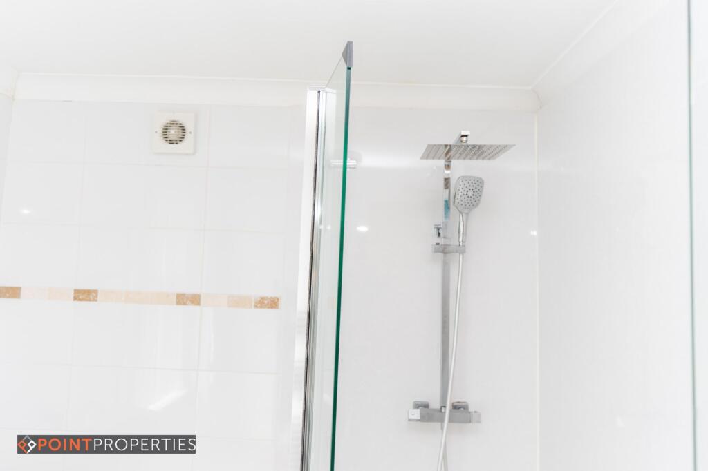
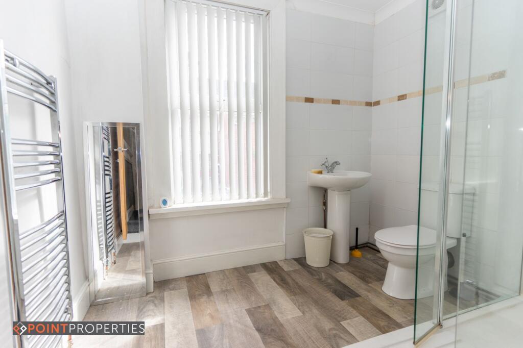
- 1
The heatmap indicates the level of crime in the area. The color of the heatmap indicates the crime severity and recency.
Metrics Year-on-Year
- Average area value
- 152,494.00 £Decreased by 1.22 %
- Average area rental value
- 782.00 £/moIncreased by 10.92 %
- Est rental Yield
- 6.15 %Increased by 12.23 %
- Crime Rate
- 4.00 %Unchanged by 0.00 %
from 154,370.00 £
from 705.00 £/mo
from 5.48 %
from 4.00 %
Agent Activity
Point Properties created the listing.
Nearby Schools
| Name | Type | Ofsted | Distance |
|---|---|---|---|
| New Park Primary School | Academy Converter | 0.33 KM | |
| Kensington Children'S Centre (Life Bank) | Children's Centre | 0.38 KM | |
| Marydale Lodge Sch | Secure Units | 0.53 KM | |
| Kensington Primary School | Community School | Good | 0.55 KM |
| St Michael'S Catholic Primary School | Voluntary Aided School | Requires improvement | 0.62 KM |
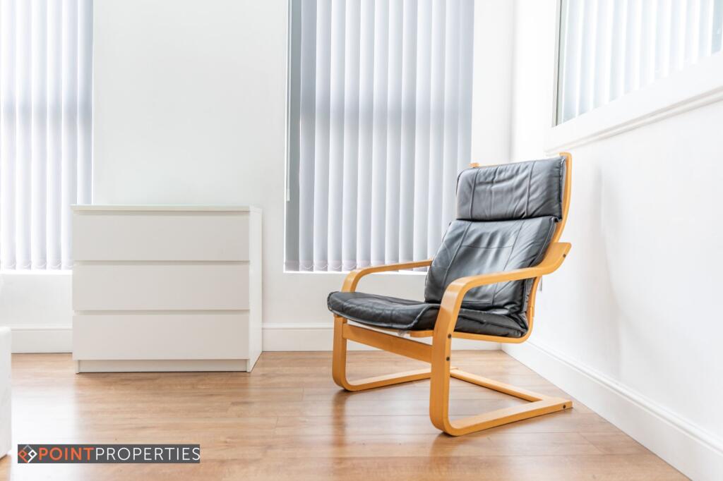
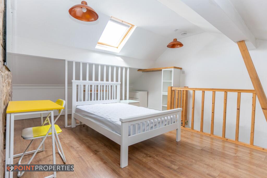
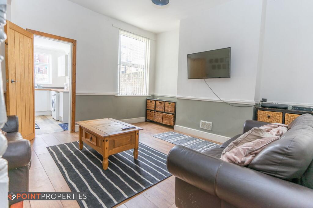
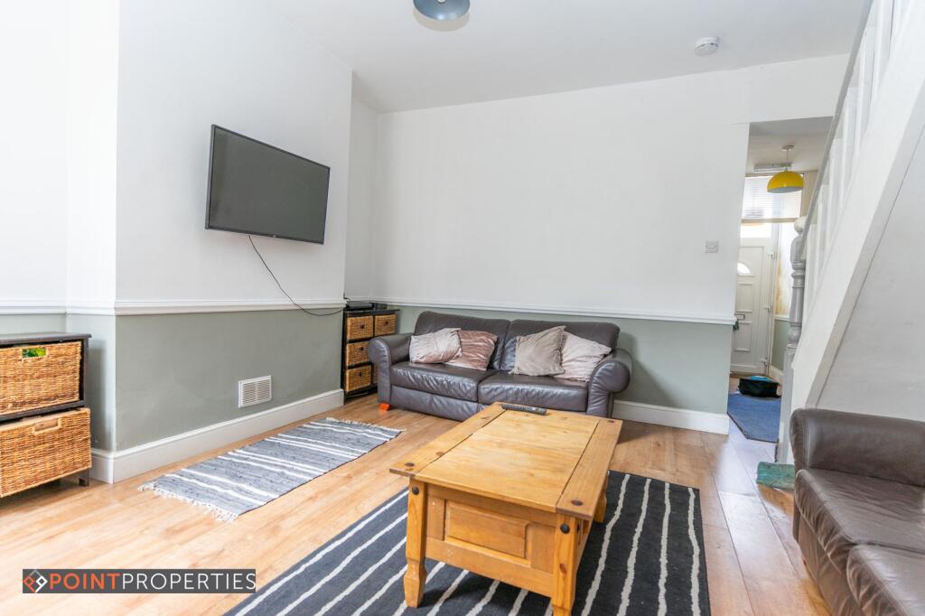
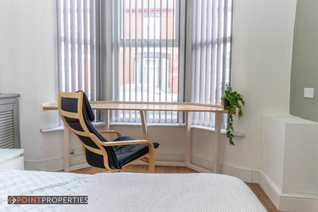
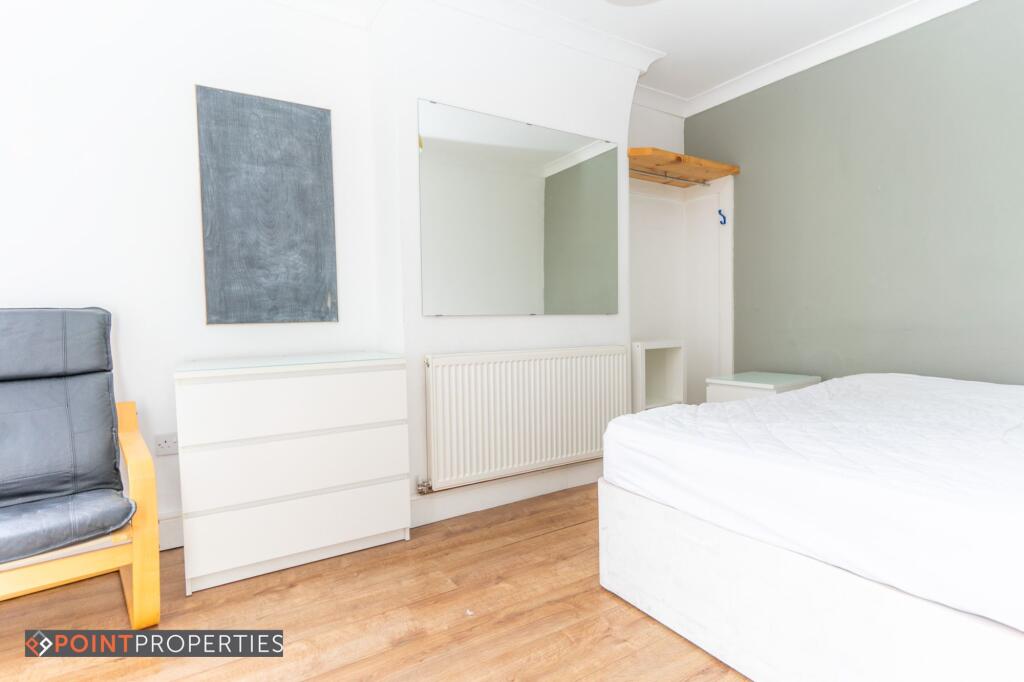
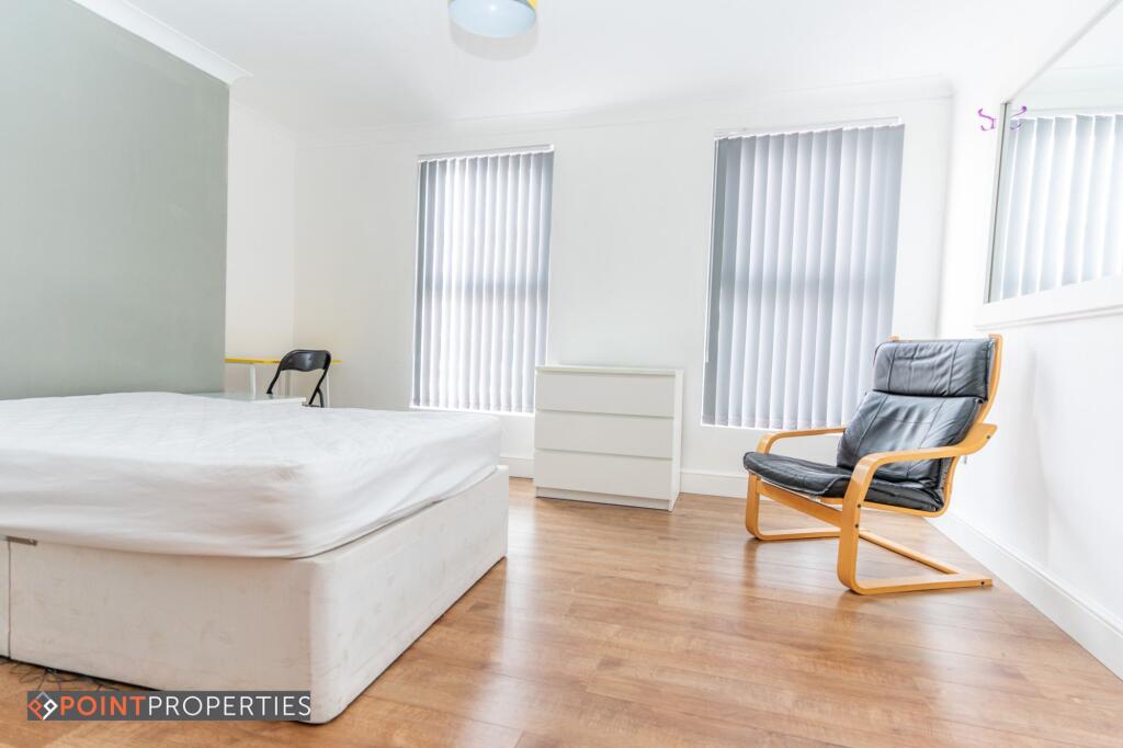
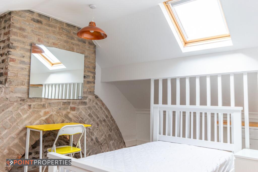
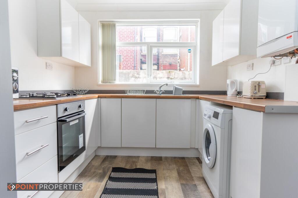
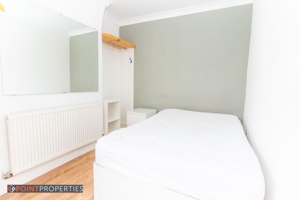
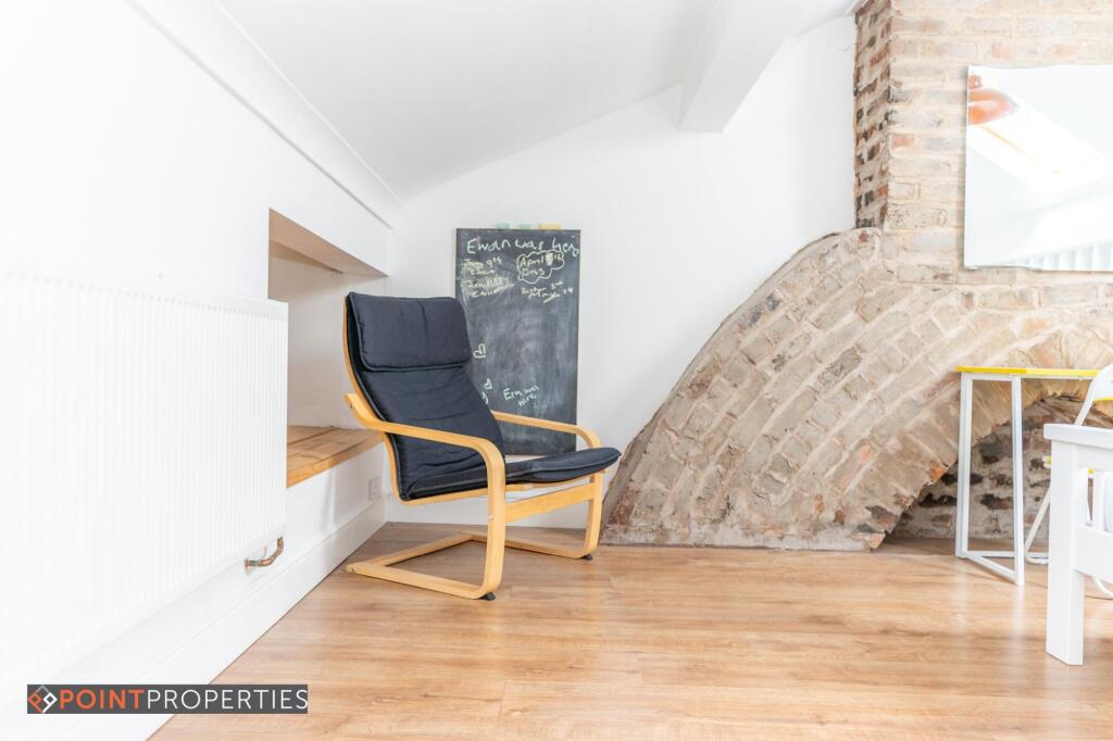
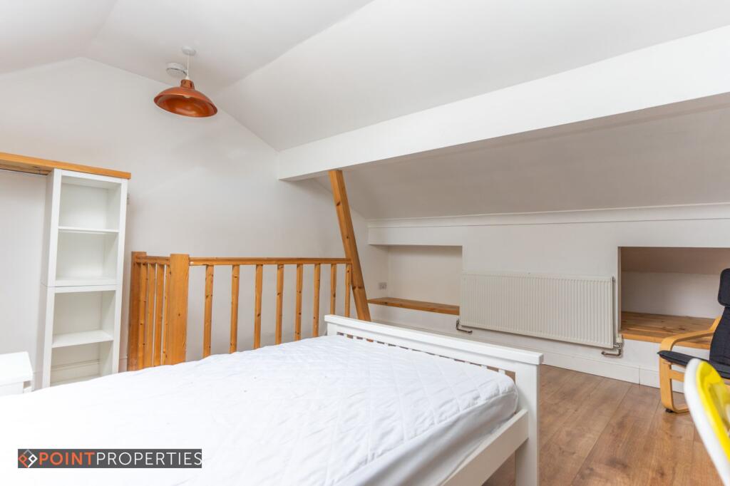
Images


Nearby Streets
| Name | Average Price | Average Sqft | Distance |
|---|---|---|---|
| Smollett Street | £ 0 | 0 | 0.00 KM |
| Tudor Street North | £ 0 | 0 | 0.00 KM |
| Farnworth Street | £ 0 | 0 | 0.00 KM |
| Saint Cyprian Place | £ 0 | 0 | 0.00 KM |
| Adelaide Road | £ 0 | 0 | 0.00 KM |
Nearby Transport
| Name | NLC | TLC | Distance |
|---|---|---|---|
| Edge Hill | 2169 | EDG | 1.30 KM |
| Liverpool Lime Street | 2246 | LIV | 2.79 KM |
| Liverpool Central | 2242 | LVC | 3.02 KM |
| Wavertree Technology Park | 8589 | WAV | 3.42 KM |
| Moorfields | 2226 | MRF | 4.02 KM |
Nearby Listings
| Address | Price | Type | Score | Distance |
|---|---|---|---|---|
| 4 Bedroom, Gwenfron Street | £ 130 | RENT | Unknown | 0.00 KM |
| Gwenfron Road, Liverpool | £ 130 | RENT | Unknown | 0.01 KM |
| Gwenfron Road, Liverpool | £ 140 | RENT | Unknown | 0.01 KM |
| Gwenfron Road, Liverpool | £ 130 | RENT | Unknown | 0.01 KM |
| Gwenfron Road, Liverpool, Merseyside, L6 | £ 541 | RENT | Unknown | 0.01 KM |
Nearby Properties
| Address | Price | Distance |
|---|---|---|
| 18 Thurnham Street | £ 90,000 | 0.03 KM |
| 24 Gwenfron Road | £ 40,000 | 0.03 KM |
| 28 Gwenfron Road | £ 158,500 | 0.03 KM |
| 6 Gwenfron Road | £ 37,500 | 0.03 KM |
| 4 Gwenfron Road | £ 105,000 | 0.03 KM |