EM
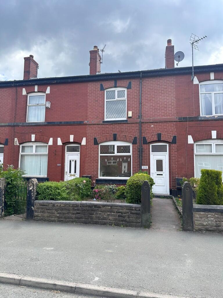
Dumers Lane, M26
By Embee Estates
£ 850
Embee Estates says ..
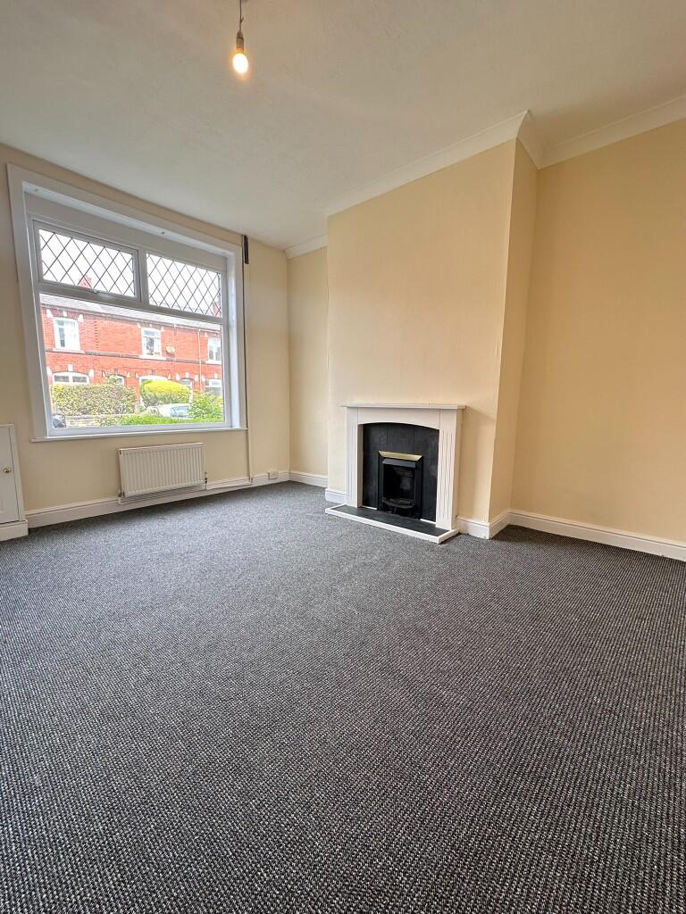
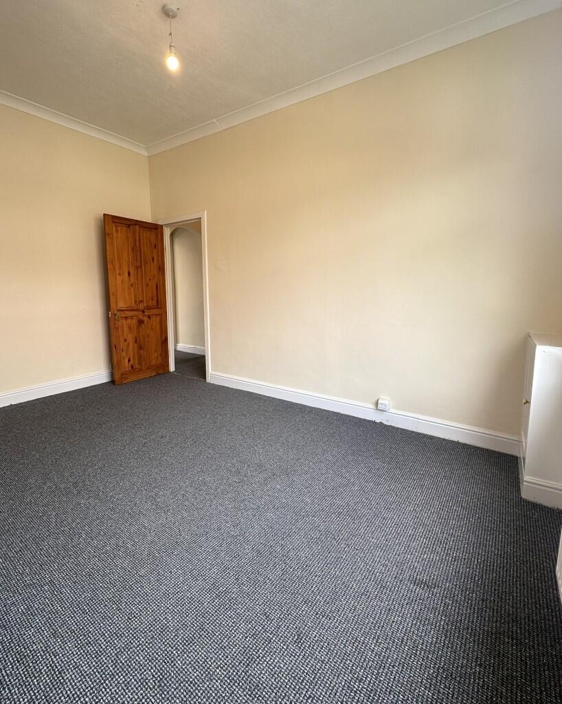
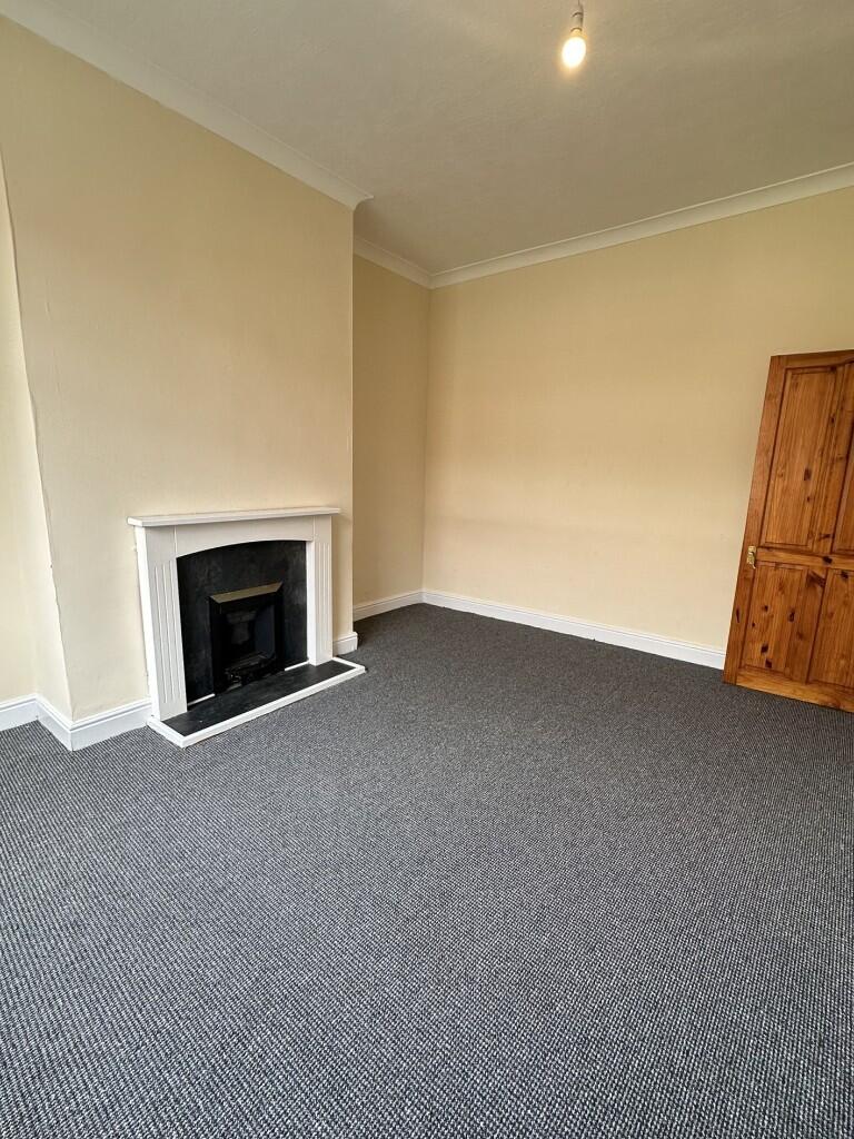
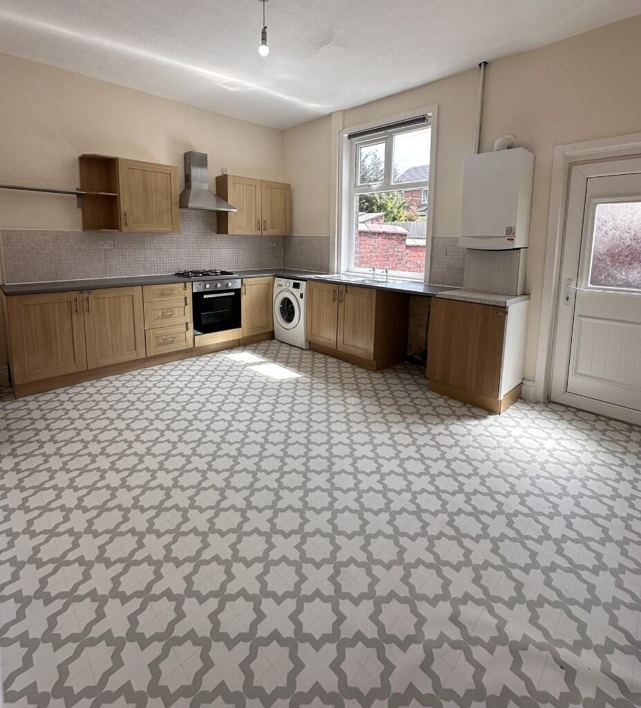
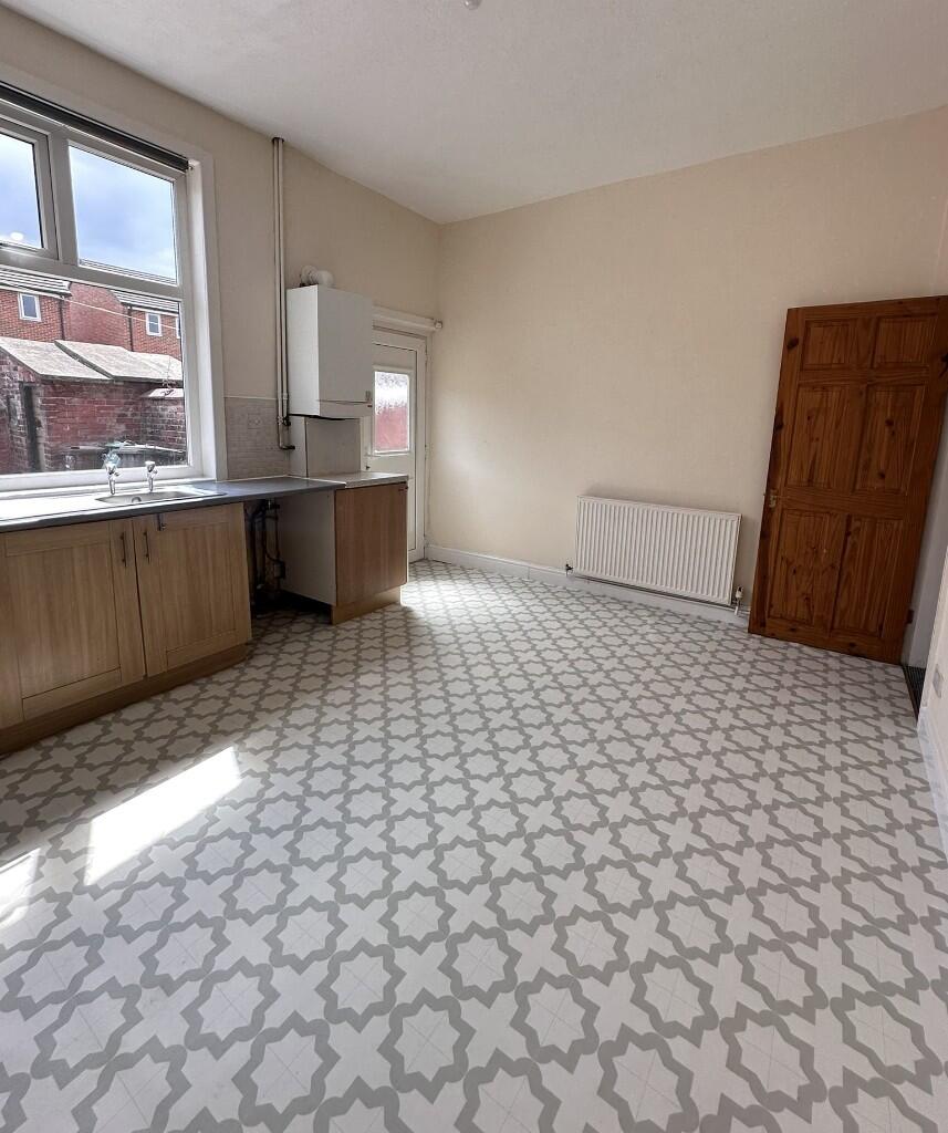
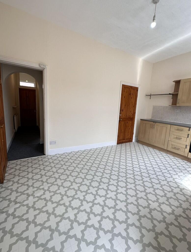
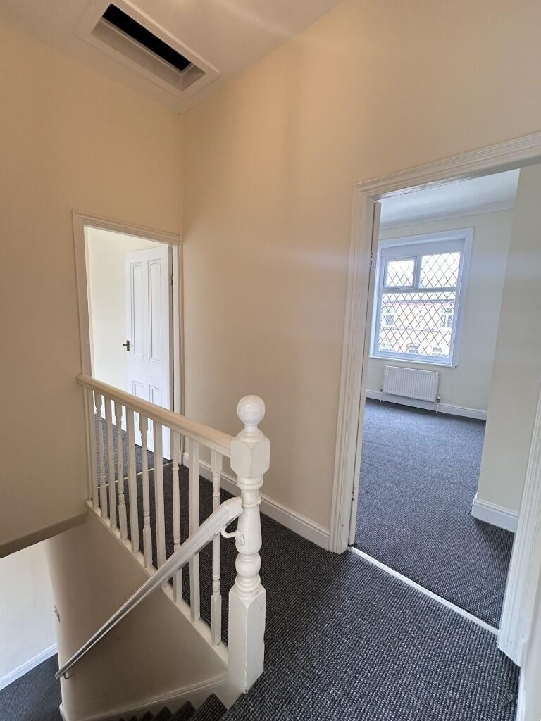
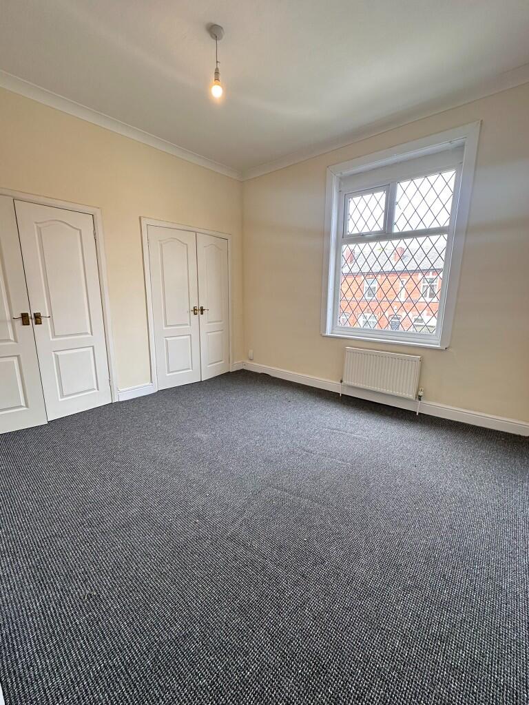
Newly redecorated throughout, New flooring throughout, Gas Central Heating, Spacious Living Area, Easy Access To M60 & Bury City Centre
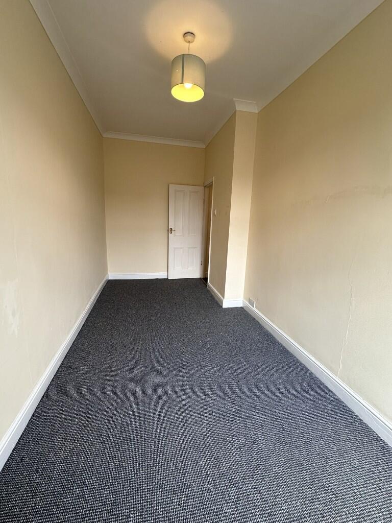
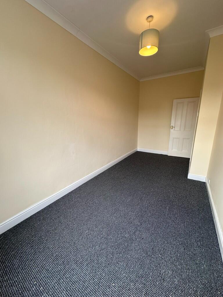
- Bedrooms
- 2
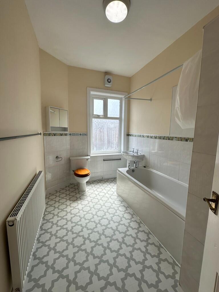
- Bathrooms
- 1
The heatmap indicates the level of crime in the area. The color of the heatmap indicates the crime severity and recency.
Metrics Year-on-Year
- Average area value
- 423,750.00 £Increased by 20.30 %
- Average area rental value
- 1,712.00 £/moIncreased by 1.36 %
- Est rental Yield
- 4.85 %Decreased by 15.65 %
- Crime Rate
- 0.00 %
from 352,259.00 £
from 1,689.00 £/mo
from 5.75 %
from 0.00 %
Agent Activity
Embee Estates created the listing.
Nearby Schools
| Name | Type | Ofsted | Distance |
|---|---|---|---|
| St Peter'S Church Of England Primary School | Voluntary Controlled School | Requires improvement | 0.73 KM |
| Radcliffe Children'S Centre Spoke | Children's Centre | 1.10 KM | |
| Radcliffe Hall Church Of England Methodist Primary School | Academy Sponsor Led | 1.23 KM | |
| The Derby High School | Community School | Good | 1.50 KM |
| Bury Catholic Preparatory School | Other Independent School | 1.58 KM |
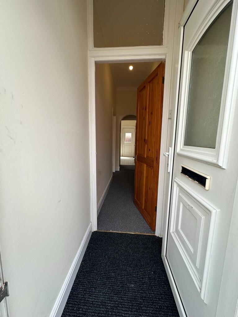
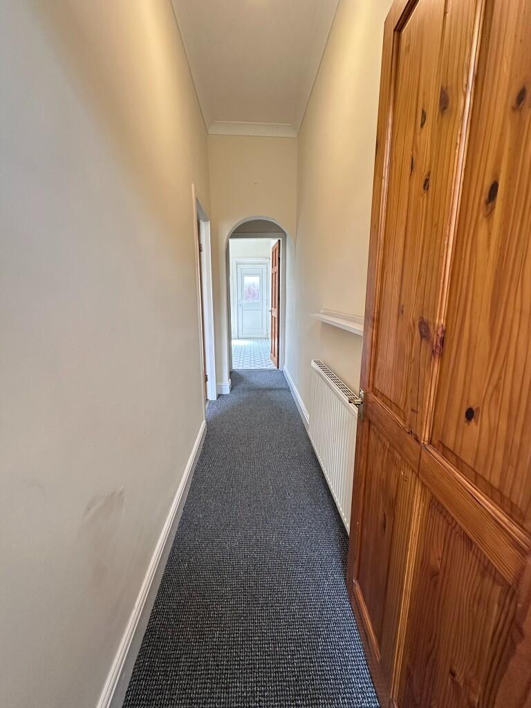
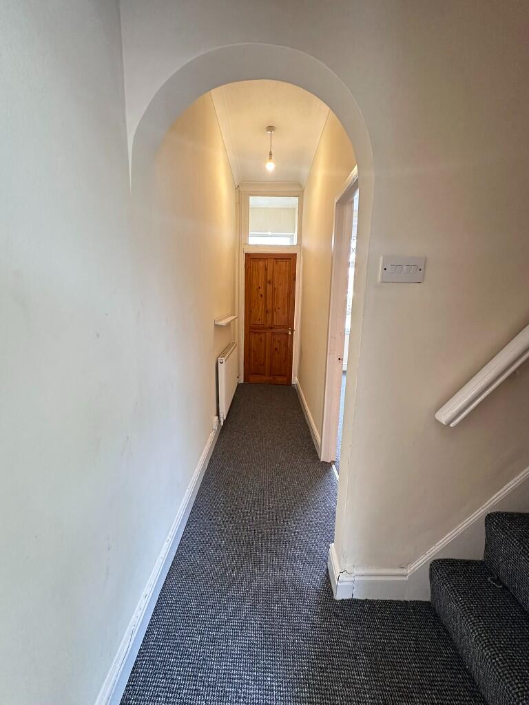
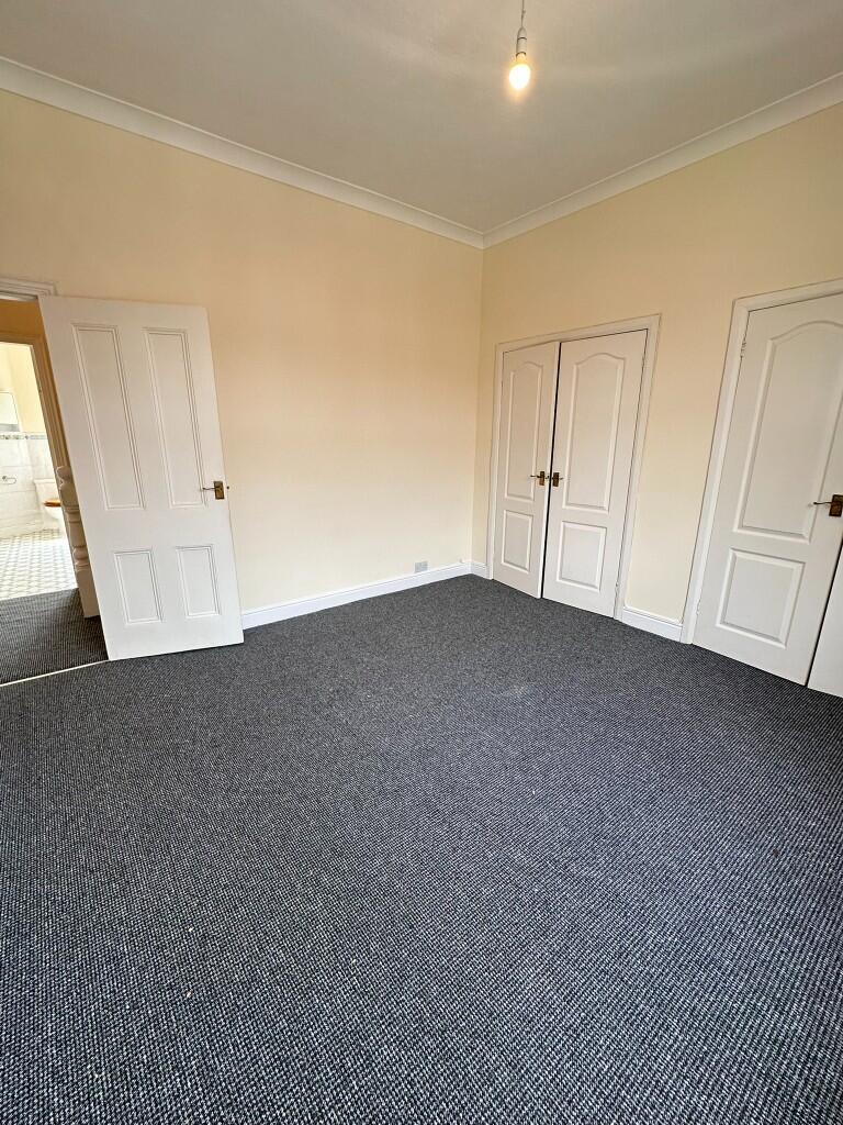
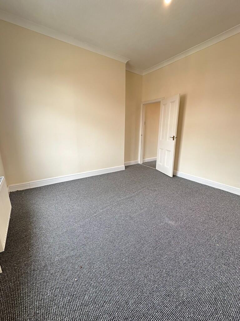
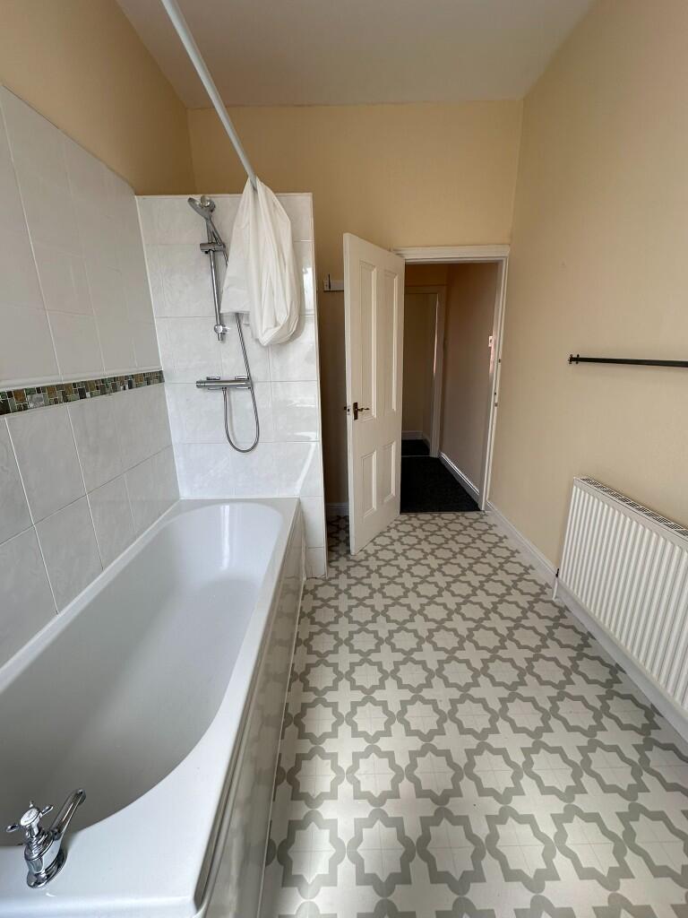
Images


Nearby Streets
| Name | Average Price | Average Sqft | Distance |
|---|---|---|---|
| Catherine Street | £ 207,500 | 0 | 0.00 KM |
| Mount Zion Street | £ 0 | 0 | 0.00 KM |
| Shakespeare Avenue | £ 0 | 0 | 0.00 KM |
| Nuttall Square | £ 180,000 | 0 | 0.00 KM |
| Whitefield Drive | £ 0 | 0 | 0.00 KM |
Nearby Transport
| Name | NLC | TLC | Distance |
|---|---|---|---|
| Clifton (Manchester) | 2795 | CLI | 5.58 KM |
| Swinton (Manchester) | 2800 | SNN | 7.41 KM |
| Moorside | 2799 | MSD | 8.25 KM |
| Kearsley (Manchester) | 2605 | KSL | 8.70 KM |
| Salford Crescent | 2794 | SLD | 9.79 KM |
Nearby Listings
| Address | Price | Type | Score | Distance |
|---|---|---|---|---|
| Dumers Lane, Radcliffe, M26 | £ 900 | RENT | Unknown | 0.18 KM |
| Tallow Place, Bury, M26 | £ 1,525 | RENT | Unknown | 0.30 KM |
| Swan lodge Lane, Bury, M26 | £ 1,030 | RENT | Unknown | 0.30 KM |
| Reservoir Drive, Bury, M26 | £ 1,525 | RENT | Unknown | 0.30 KM |
| Candle Grove, Bury, M26 | £ 1,395 | RENT | Unknown | 0.30 KM |
Nearby Properties
| Address | Price | Distance |
|---|---|---|
| 240 Dumers Lane | £ 157,000 | 0.00 KM |
| 206 Dumers Lane | £ 138,000 | 0.00 KM |
| 214 Dumers Lane | £ 86,000 | 0.00 KM |
| 258 Dumers Lane | £ 160,000 | 0.02 KM |
| 230 Dumers Lane | £ 92,000 | 0.02 KM |