M
CHURCH ROAD
By M & M Properties
£ 875
M & M Properties says ..
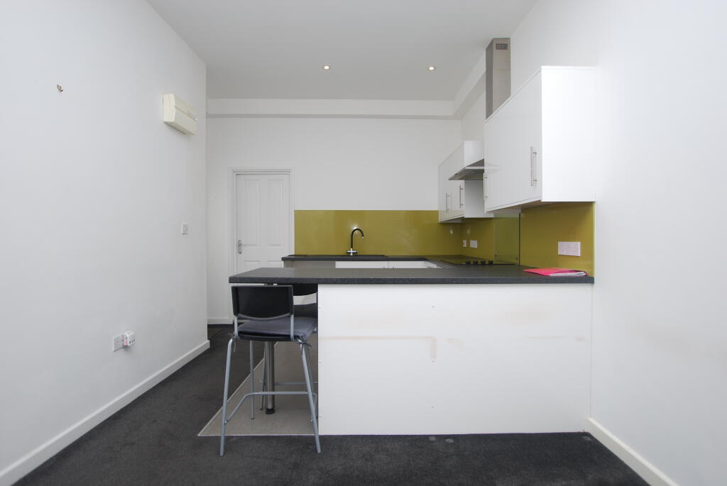
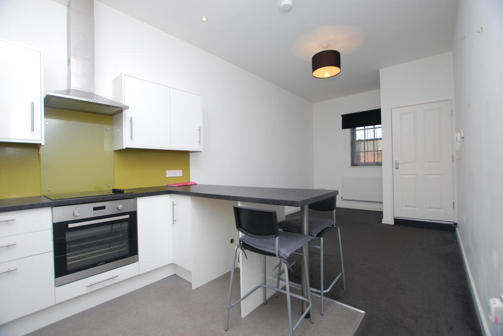
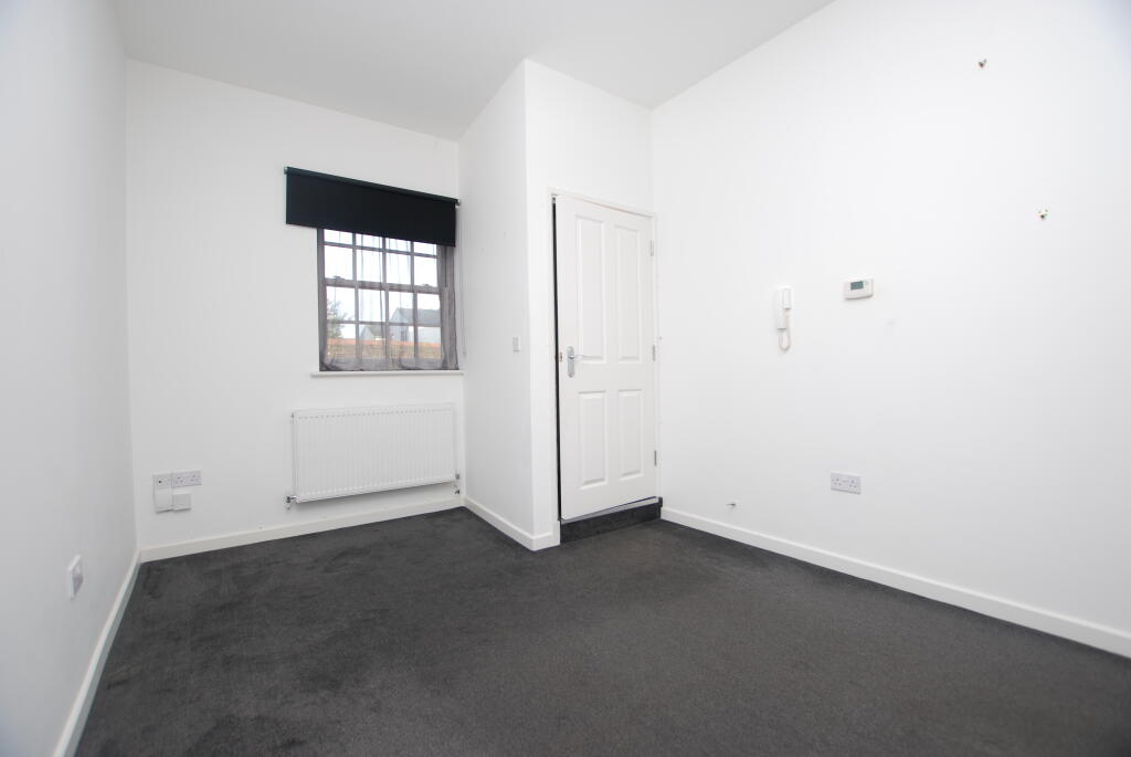
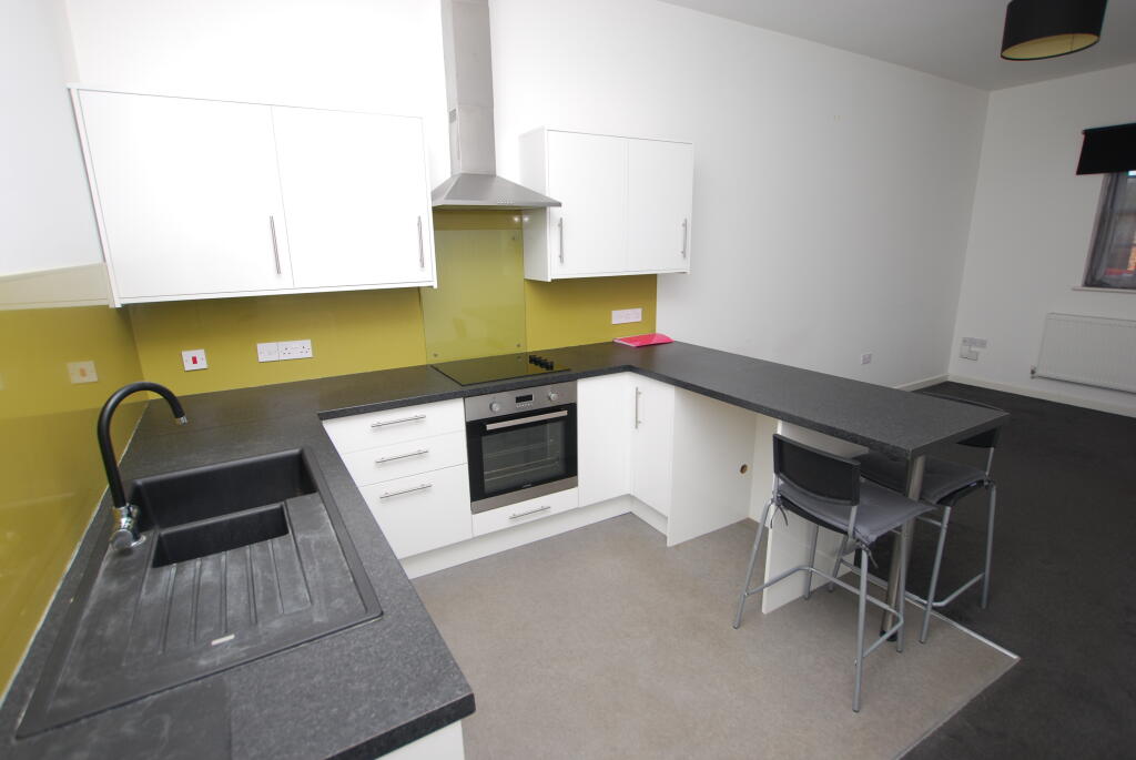
***GROUND FLOOR APARTMENT***WALKING DISTANCE OF MAINLINE STATION***CLOSE TO TOWN CENTRE***MODERN ACCOMMODATION***
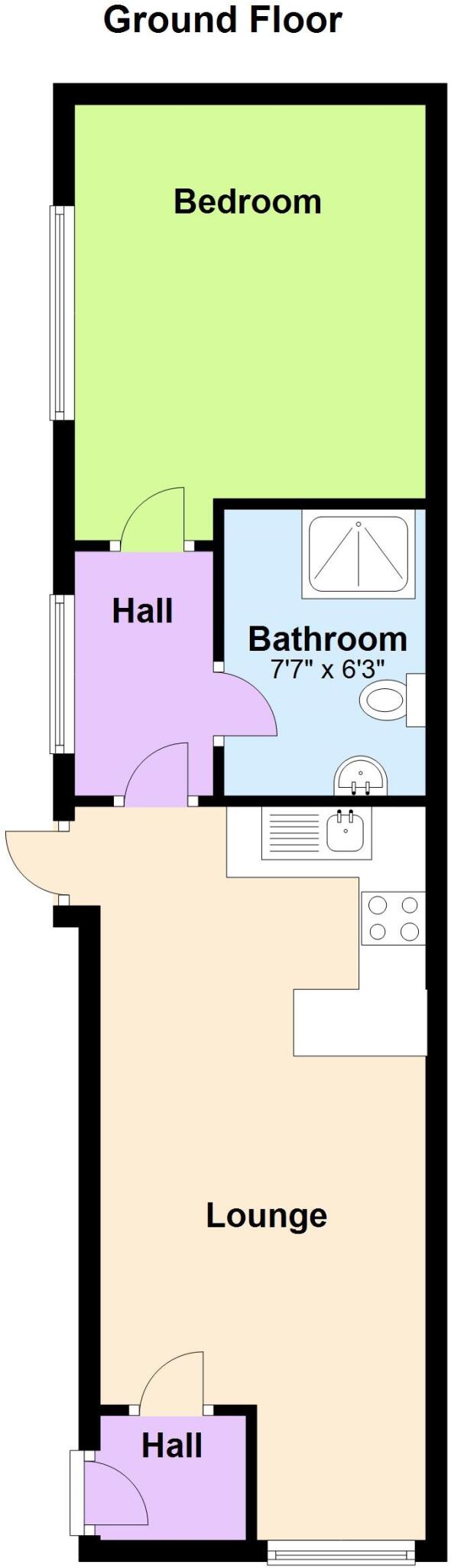
- Bedrooms
- 1
- Bathrooms
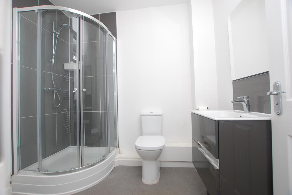
- 1
The heatmap indicates the level of crime in the area. The color of the heatmap indicates the crime severity and recency.
Metrics Year-on-Year
- Average area value
- 442,500.00 £Increased by 14.33 %
- Average area rental value
- 1,238.00 £/moIncreased by 1.98 %
- Est rental Yield
- 3.36 %Decreased by 10.64 %
- Crime Rate
- 25.00 %Unchanged by 0.00 %
from 387,021.00 £
from 1,214.00 £/mo
from 3.76 %
from 25.00 %
Agent Activity
M & M Properties created the listing.
Nearby Schools
| Name | Type | Ofsted | Distance |
|---|---|---|---|
| Leighton Middle School | Community School | Good | 0.79 KM |
| Linslade School | Academy Converter | Good | 0.84 KM |
| Linslade Lower School | Community School | Good | 0.85 KM |
| The Mary Bassett Lower School | Community School | Good | 0.88 KM |
| Cedars Upper School | Academy Converter | Good | 0.96 KM |
Images


Nearby Streets
| Name | Average Price | Average Sqft | Distance |
|---|---|---|---|
| The Wharf | £ 245,000 | 0 | 0.00 KM |
| Church Square | £ 0 | 0 | 0.00 KM |
| Woodside Way | £ 450,000 | 0 | 0.00 KM |
| Alexandra Court | £ 0 | 0 | 0.00 KM |
| West Street | £ 260,000 | 0 | 0.00 KM |
Nearby Transport
| Name | NLC | TLC | Distance |
|---|---|---|---|
| Leighton Buzzard | 1373 | LBZ | 0.53 KM |
| Cheddington | 1372 | CED | 6.51 KM |
Nearby Listings
| Address | Price | Type | Score | Distance |
|---|---|---|---|---|
| CHANDLERS HALL, CHURCH ROAD | £ 875 | RENT | Unknown | 0.00 KM |
| CHURCH ROAD | £ 875 | RENT | Unknown | 0.00 KM |
| WING ROAD | £ 1,150 | RENT | Unknown | 0.06 KM |
| New Road, Leighton Buzzard, LU7 | £ 1,950 | RENT | Unknown | 0.10 KM |
| Wing Road, Leighton Buzzard, LU7 | £ 1,050 | RENT | Unknown | 0.12 KM |
Nearby Properties
| Address | Price | Distance |
|---|---|---|
| 62 Wing Road | £ 195,000 | 0.05 KM |
| 70 Wing Road | £ 290,000 | 0.05 KM |
| 50 Wing Road | £ 265,000 | 0.05 KM |
| 72 Wing Road | £ 220,000 | 0.05 KM |
| 58 Wing Road | £ 202,500 | 0.05 KM |