WA
Sheringham
By Watsons
£ 165,000
Watsons says ..
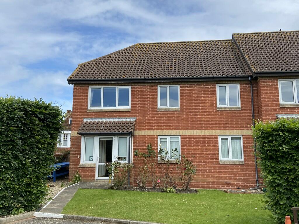
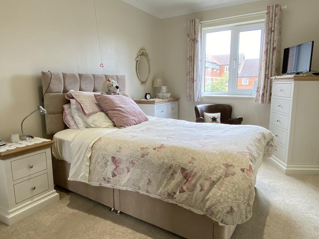
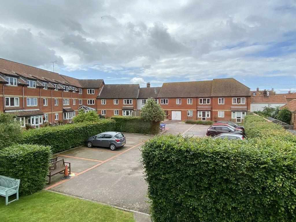
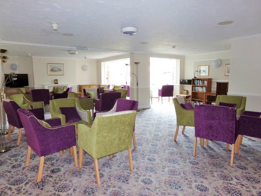
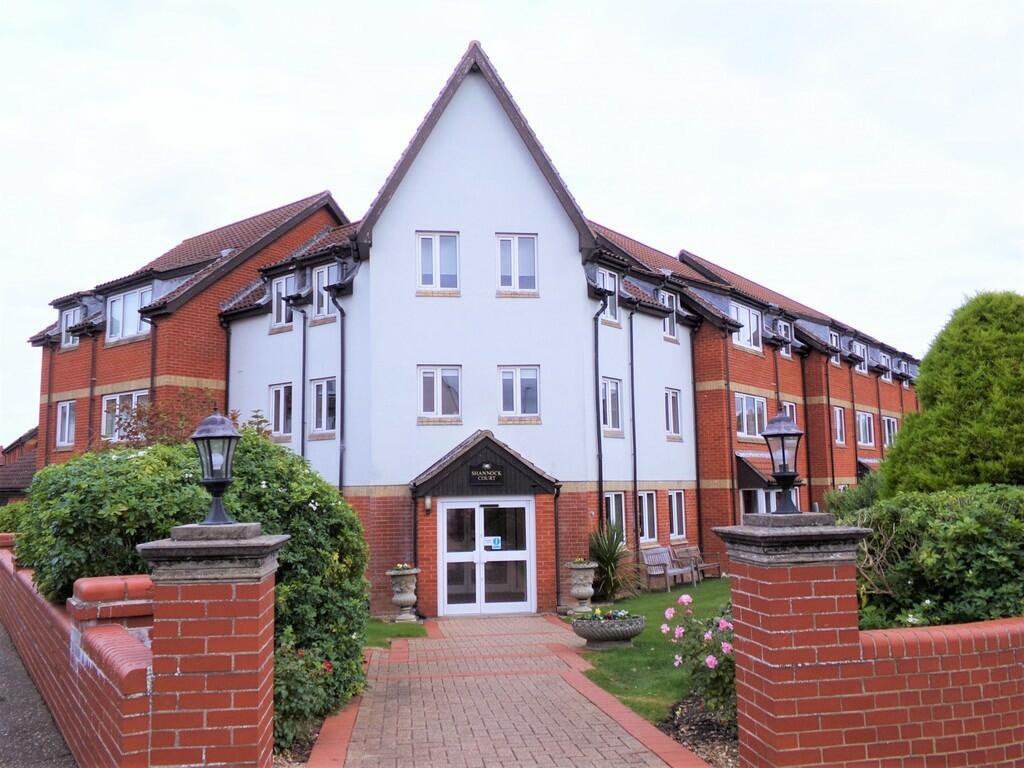
A beautifully presented first floor apartment for the over 60's, situated just off the town centre and within a short stroll of the beach and train station.
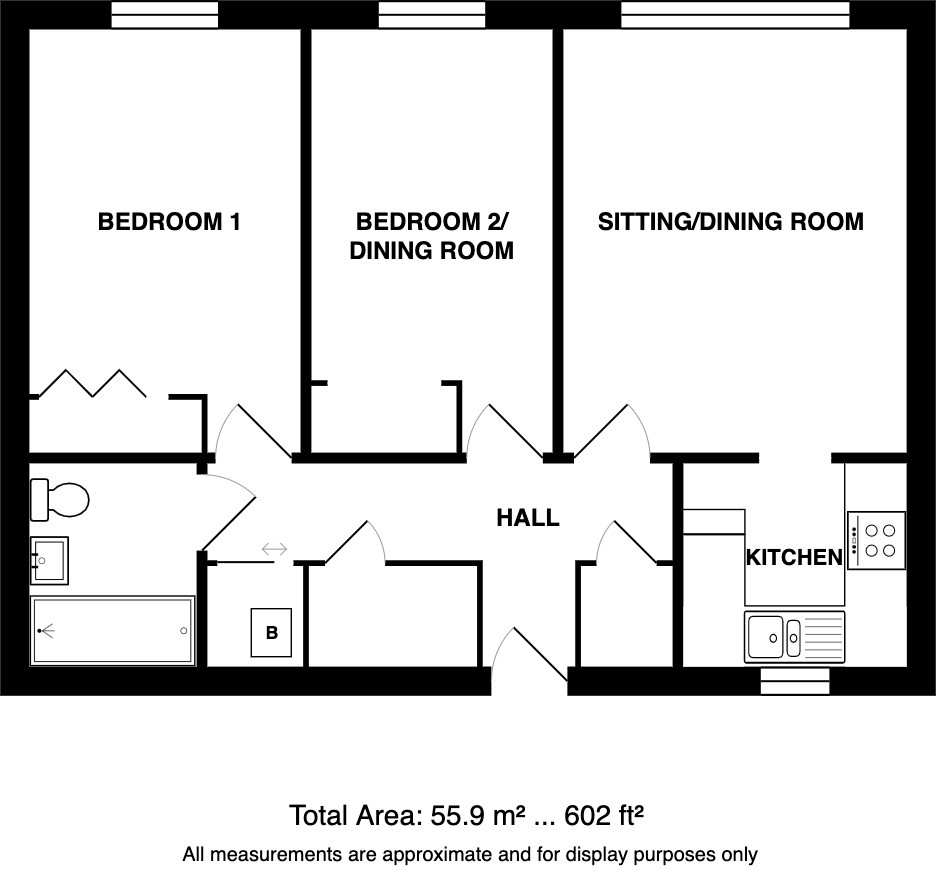
- Bedrooms
- 2
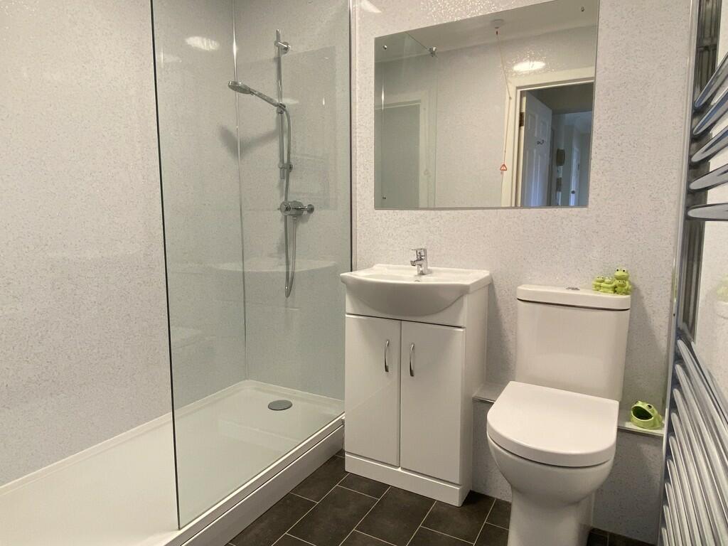
- Bathrooms
- 1
The heatmap indicates the level of crime in the area. The color of the heatmap indicates the crime severity and recency.
Metrics Year-on-Year
- Average area value
- 348,333.00 £Increased by 12.03 %
- Average area rental value
- 1,250.00 £/moIncreased by 19.39 %
- Est rental Yield
- 4.31 %Increased by 6.68 %
- Crime Rate
- 28.00 %Unchanged by 0.00 %
from 310,939.00 £
from 1,047.00 £/mo
from 4.04 %
from 28.00 %
Agent Activity
Watsons created the listing.
Nearby Schools
| Name | Type | Ofsted | Distance |
|---|---|---|---|
| Sheringham Community Primary School | Community School | Good | 1.59 KM |
| Sheringham Woodfields School | Foundation Special School | Outstanding | 1.85 KM |
| Sheringham High School | Academy Converter | Good | 1.85 KM |
| Beeston Hall School | Other Independent School | 2.26 KM | |
| St Andrew'S School | Other Independent Special School | Good | 2.75 KM |
Images

Nearby Streets
| Name | Average Price | Average Sqft | Distance |
|---|---|---|---|
| Heath Road | £ 0 | 0 | 0.00 KM |
| Promenade | £ 390,000 | 0 | 0.00 KM |
| Garden Road | £ 0 | 0 | 0.00 KM |
| Hadley Road | £ 0 | 0 | 0.00 KM |
| Knowle Road | £ 180,000 | 0 | 0.00 KM |
Nearby Transport
| Name | NLC | TLC | Distance |
|---|---|---|---|
| Sheringham | 7319 | SHM | 0.41 KM |
| West Runton | 7329 | WRN | 3.55 KM |
| Cromer | 7295 | CMR | 8.82 KM |
| Roughton Road | 7297 | RNR | 9.85 KM |
Nearby Listings
| Address | Price | Type | Score | Distance |
|---|---|---|---|---|
| Sheringham | £ 165,000 | BUY | Unknown | 0.00 KM |
| Sheringham | £ 130,000 | BUY | 5 / 10 | 0.02 KM |
| New Road, Sheringham | £ 395,000 | BUY | 6 / 10 | 0.12 KM |
| George Street, Sheringham, NR26 | £ 140,000 | BUY | 6 / 10 | 0.13 KM |
| Sheringham | £ 115,000 | BUY | Unknown | 0.14 KM |
Nearby Properties
| Address | Price | Distance |
|---|---|---|
| 19 Barford Road | £ 326,000 | 0.05 KM |
| 43 Barford Road | £ 270,000 | 0.05 KM |
| 10 Barford Road | £ 210,000 | 0.05 KM |
| 70 Barford Road | £ 170,000 | 0.05 KM |
| 37 Barford Road | £ 148,000 | 0.05 KM |