HA
Ashton Road, LUTON
By haart
£ 1,100
haart says ..
2 WEEKS RENT FREE TO MOVE IN BY 18/12/25
- Bedrooms
- 1
- Bathrooms
- 1
The heatmap indicates the level of crime in the area. The color of the heatmap indicates the crime severity and recency.
Metrics Year-on-Year
- Average area value
- 279,877.00 £Decreased by 1.23 %
- Average area rental value
- 1,053.00 £/moDecreased by 7.39 %
- Est rental Yield
- 4.51 %Decreased by 6.43 %
- Crime Rate
- 8.00 %Unchanged by 0.00 %
from 283,358.00 £
from 1,137.00 £/mo
from 4.82 %
from 8.00 %
Agent Activity
haart created the listing.
Nearby Schools
| Name | Type | Ofsted | Distance |
|---|---|---|---|
| Tennyson Road Primary School | Academy Converter | 0.22 KM | |
| Oakwood Primary School | Other Independent School | Requires improvement | 0.36 KM |
| Chapel Street Nursery School | Local Authority Nursery School | Good | 0.40 KM |
| Chapel St | Children's Centre Linked Site | 0.51 KM | |
| Tennyson Road North Primary School | Academy Converter | 0.64 KM |
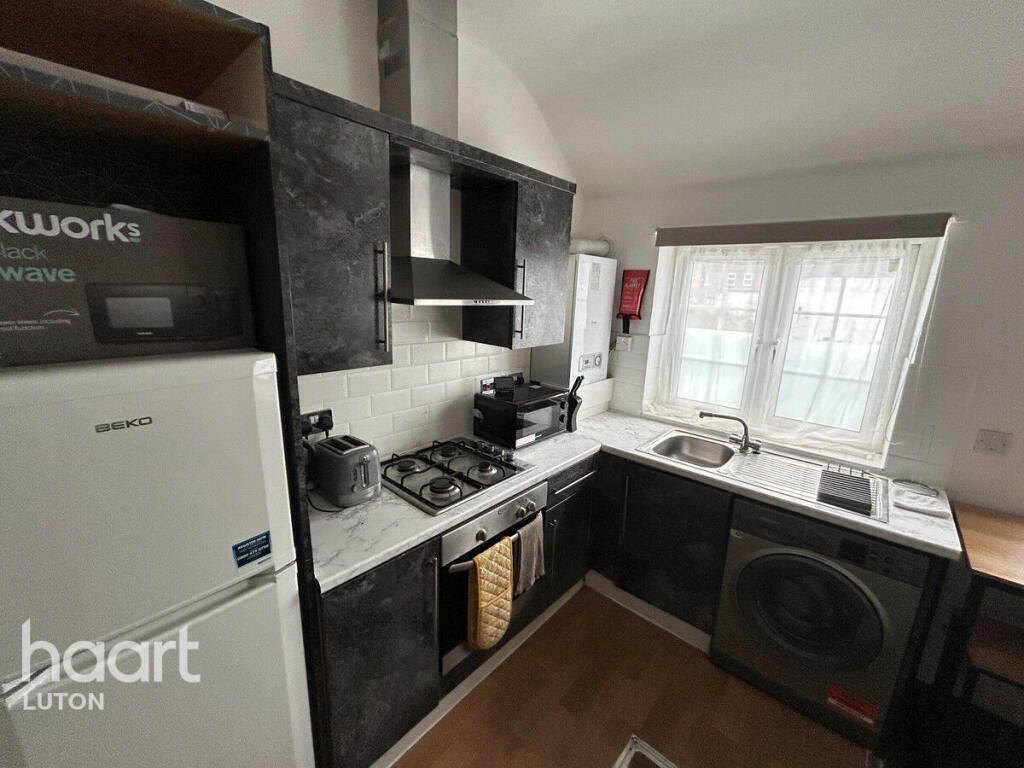
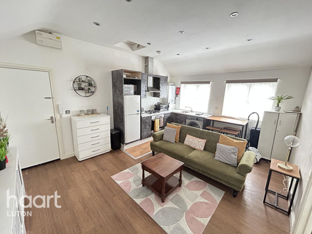
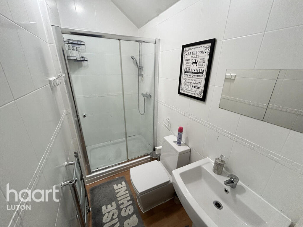
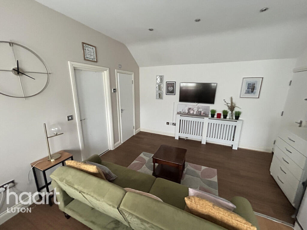
Images


Nearby Streets
| Name | Average Price | Average Sqft | Distance |
|---|---|---|---|
| Castle Street | £ 0 | 0 | 0.00 KM |
| Windsor Street | £ 0 | 0 | 0.00 KM |
| A505 | £ 0 | 0 | 0.00 KM |
| Peel Street | £ 125,000 | 0 | 0.00 KM |
| Buxton Road | £ 0 | 0 | 0.00 KM |
Nearby Transport
| Name | NLC | TLC | Distance |
|---|---|---|---|
| Luton | 1536 | LUT | 1.10 KM |
| Luton Airport Parkway | 3645 | LTN | 2.27 KM |
| Leagrave | 1534 | LEA | 5.89 KM |
| Harpenden | 1543 | HPD | 9.66 KM |
Nearby Listings
| Address | Price | Type | Score | Distance |
|---|---|---|---|---|
| Ashton Road, LUTON | £ 1,100 | RENT | Unknown | 0.00 KM |
| Ashton Road, Luton, LU1 | £ 1,400 | RENT | Unknown | 0.03 KM |
| 53 Tavistock Street, Luton, Bedfordshire, LU1 | £ 555 | RENT | Unknown | 0.07 KM |
| Tavistock Street, Luton, Bedfordshire, LU1 3UT | £ 800 | RENT | Unknown | 0.07 KM |
| En Suite, Tavistock Street, Luton, Bedfordshire, LU1 3UT | £ 625 | RENT | Unknown | 0.07 KM |
Nearby Properties
| Address | Price | Distance |
|---|---|---|
| 39 Ashton Road | £ 145,000 | 0.03 KM |
| 57 Ashton Road | £ 201,000 | 0.07 KM |
| 37 Ashton Road | £ 53,000 | 0.07 KM |
| 16 Ashton Road | £ 142,500 | 0.07 KM |
| 53 Ashton Road | £ 200,000 | 0.07 KM |