
PO
Farmer Road, Leyton
By Portico
£ 900
Portico says ..
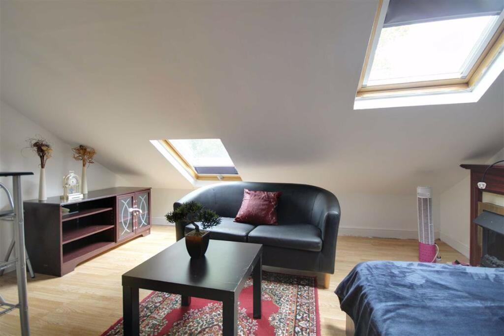
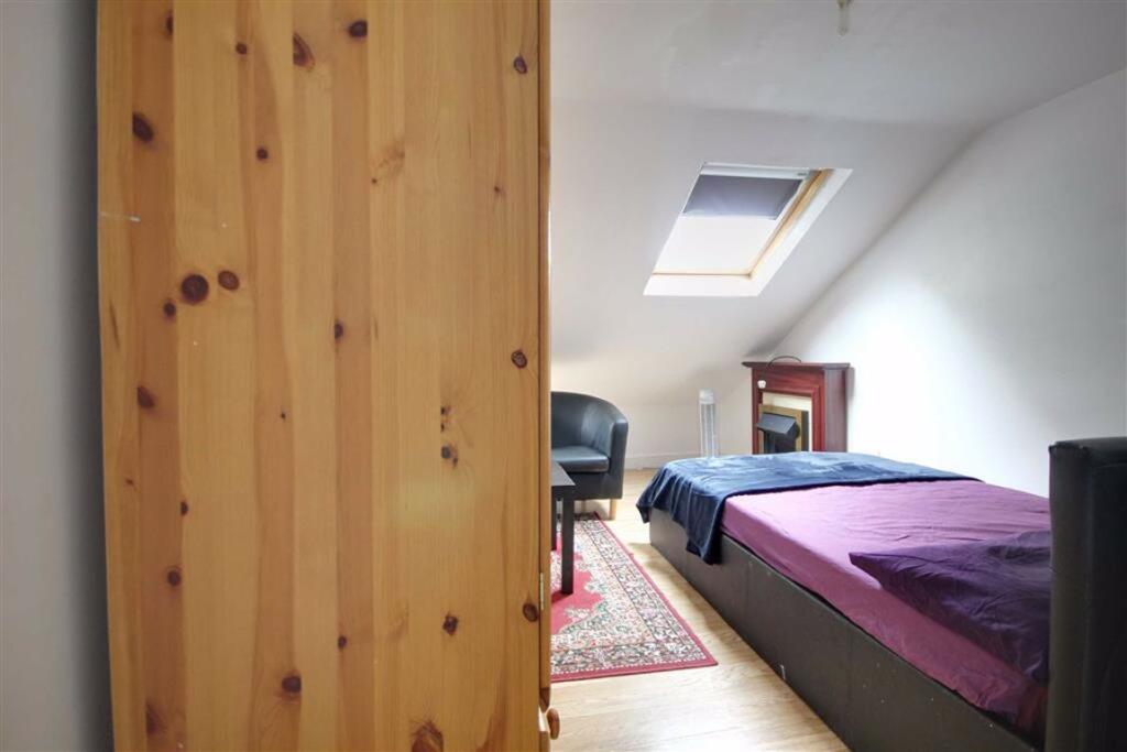
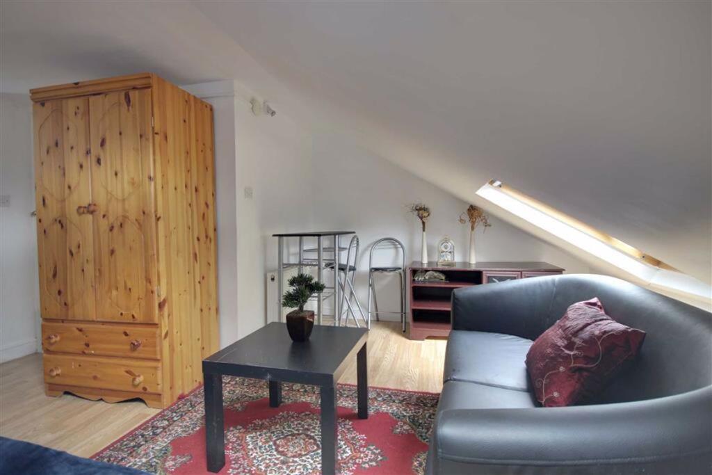
STUDIO ROOM WITH MOST BILLS INCLUDED CLOSE TO LEYTON MIDLAND RAILWAY STATION
- Bedrooms
- 0
- Bathrooms
- 1
The heatmap indicates the level of crime in the area. The color of the heatmap indicates the crime severity and recency.
Metrics Year-on-Year
- Average area value
- 552,778.00 £Increased by 26.58 %
- Average area rental value
- 1,835.00 £/moDecreased by 4.03 %
- Est rental Yield
- 3.98 %Decreased by 24.19 %
- Crime Rate
- 4.00 %Unchanged by 0.00 %
from 436,717.00 £
from 1,912.00 £/mo
from 5.25 %
from 4.00 %
Agent Activity
Portico created the listing.
Nearby Schools
| Name | Type | Ofsted | Distance |
|---|---|---|---|
| George Mitchell School | Academy Converter | 0.10 KM | |
| St Joseph'S Catholic Junior School | Voluntary Aided School | Good | 0.37 KM |
| Leyton Children'S Centre | Children's Centre | 0.48 KM | |
| Dawlish Primary School | Community School | Good | 0.57 KM |
| Lantern Of Knowledge Secondary School | Other Independent School | Inadequate | 0.63 KM |
Images


Nearby Streets
| Name | Average Price | Average Sqft | Distance |
|---|---|---|---|
| Kings Close | £ 0 | 0 | 0.00 KM |
| Lake Road | £ 350,000 | 0 | 0.00 KM |
| Crawley Road | £ 220,000 | 0 | 0.00 KM |
| Shelley Court | £ 350,000 | 0 | 0.00 KM |
| Pardoe Road | £ 0 | 0 | 0.00 KM |
Nearby Transport
| Name | NLC | TLC | Distance |
|---|---|---|---|
| Leyton Midland Road | 7402 | LEM | 0.56 KM |
| Walthamstow Central | 6953 | WHC | 1.75 KM |
| Walthamstow Queen'S Road | 7407 | WMW | 1.86 KM |
| Wood Street | 6954 | WST | 2.31 KM |
| Leytonstone High Road | 7403 | LER | 2.44 KM |
Nearby Listings
| Address | Price | Type | Score | Distance |
|---|---|---|---|---|
| Farmer Road, Leyton E10 | £ 1,700 | RENT | Unknown | 0.00 KM |
| Farmer Road, Leyton | £ 900 | RENT | Unknown | 0.00 KM |
| Byron Road, Leyton, E10 | £ 2,500 | RENT | Unknown | 0.10 KM |
| Byron Road, Leyton, E10 | £ 1,950 | RENT | Unknown | 0.10 KM |
| Brewster Road, London, E10 | £ 817 | RENT | Unknown | 0.19 KM |
Nearby Properties
| Address | Price | Distance |
|---|---|---|
| 19 Farmer Road | £ 450,000 | 0.00 KM |
| 40 Farmer Road | £ 500,000 | 0.00 KM |
| 53 Farmer Road | £ 164,000 | 0.00 KM |
| 10 Farmer Road | £ 233,000 | 0.00 KM |
| 81 Farmer Road | £ 218,000 | 0.00 KM |