Karen Potter says ..
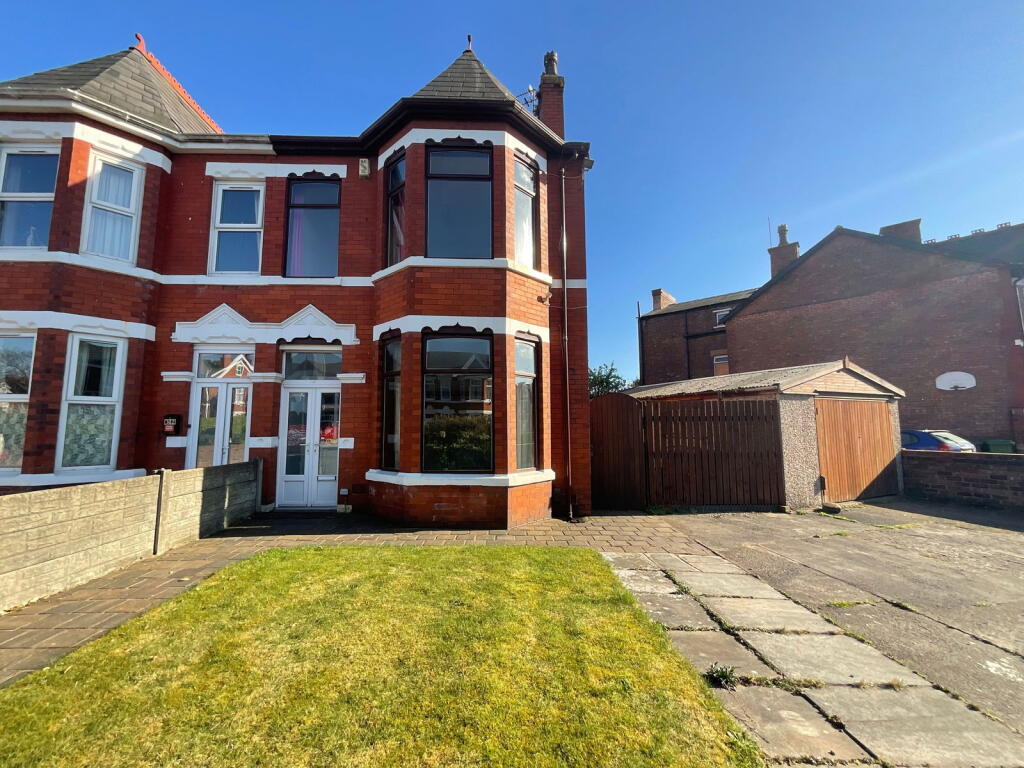
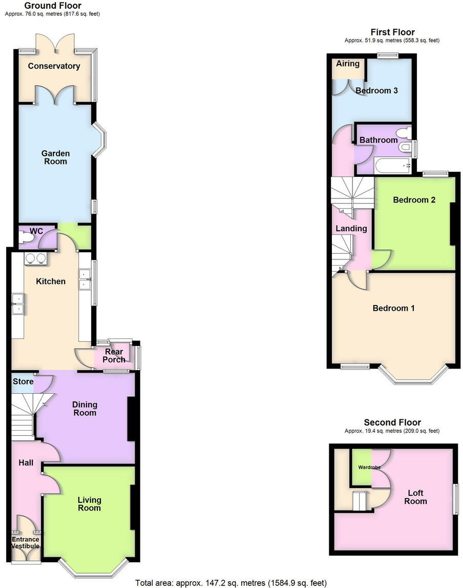
An excellent family house with rear extension and including three double bedrooms; loft room; three reception rooms; conservatory; ample parking; garage and gardens. Great location for primary & secondary schools and close proximity to local shops.
Property Oracle says ..
The property is a 3-bedroom semi-detached house located on Fir Street, Southport, Merseyside. The property benefits from being close to excellent schools such as Norwood Primary School (rated ‘Good’ by Ofsted) and Meols Cop High School (rated ‘Outstanding’ by Ofsted), both within a kilometre. The area also has good transport links, with Meols Cop train station just 0.27km away.
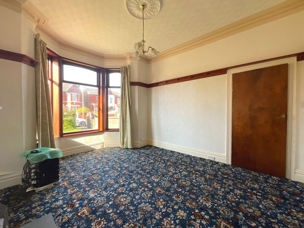
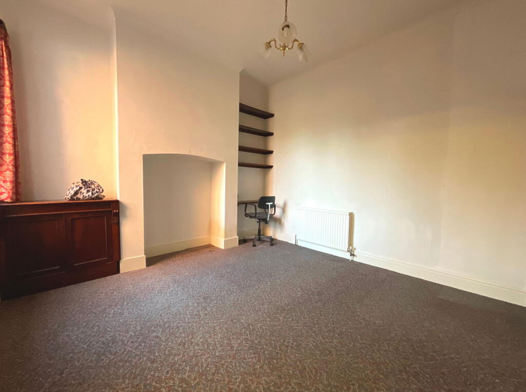
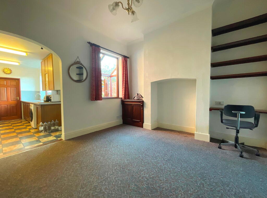
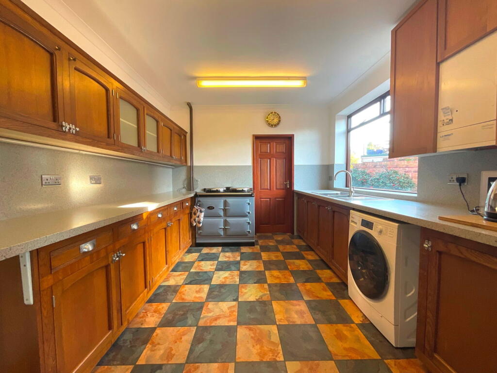
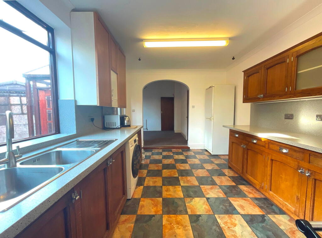
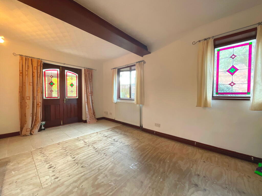
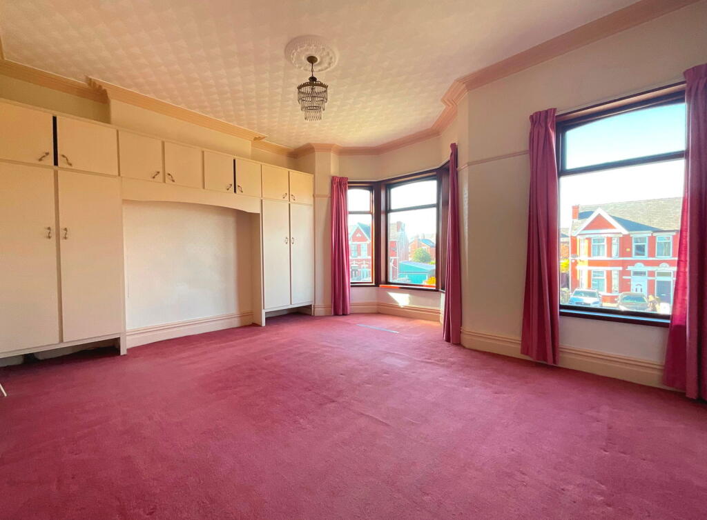
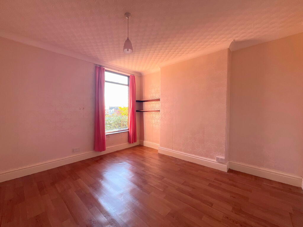
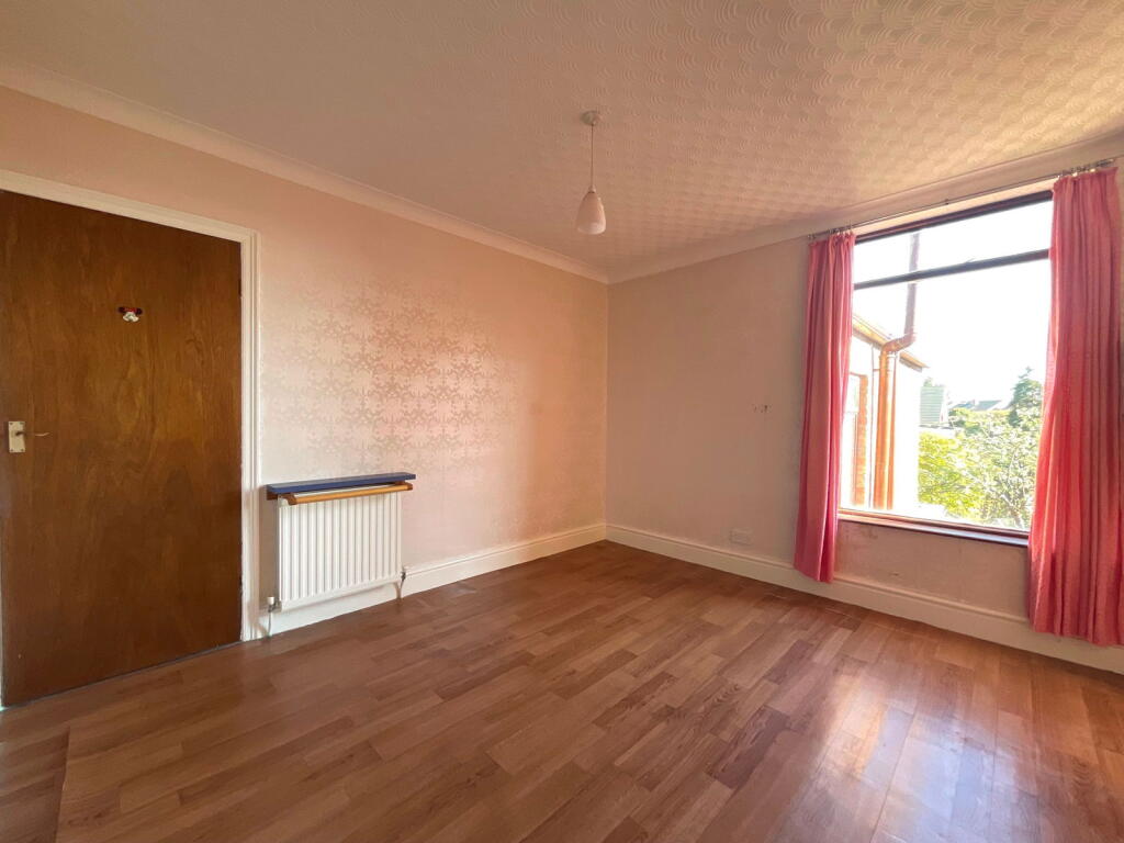
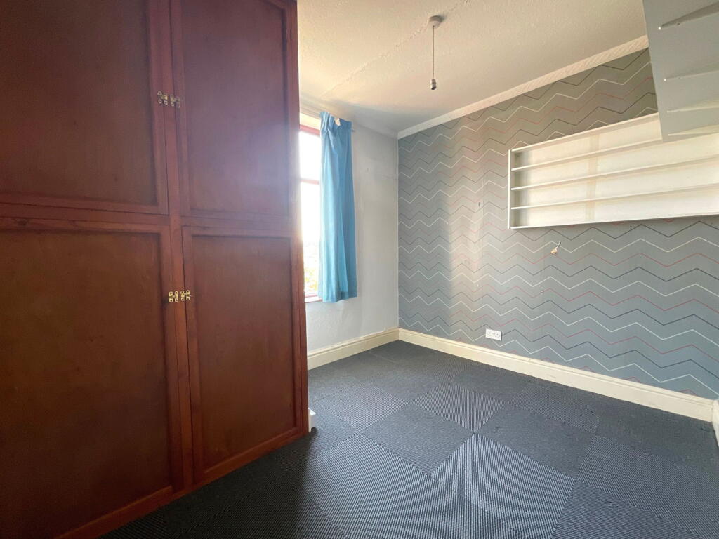
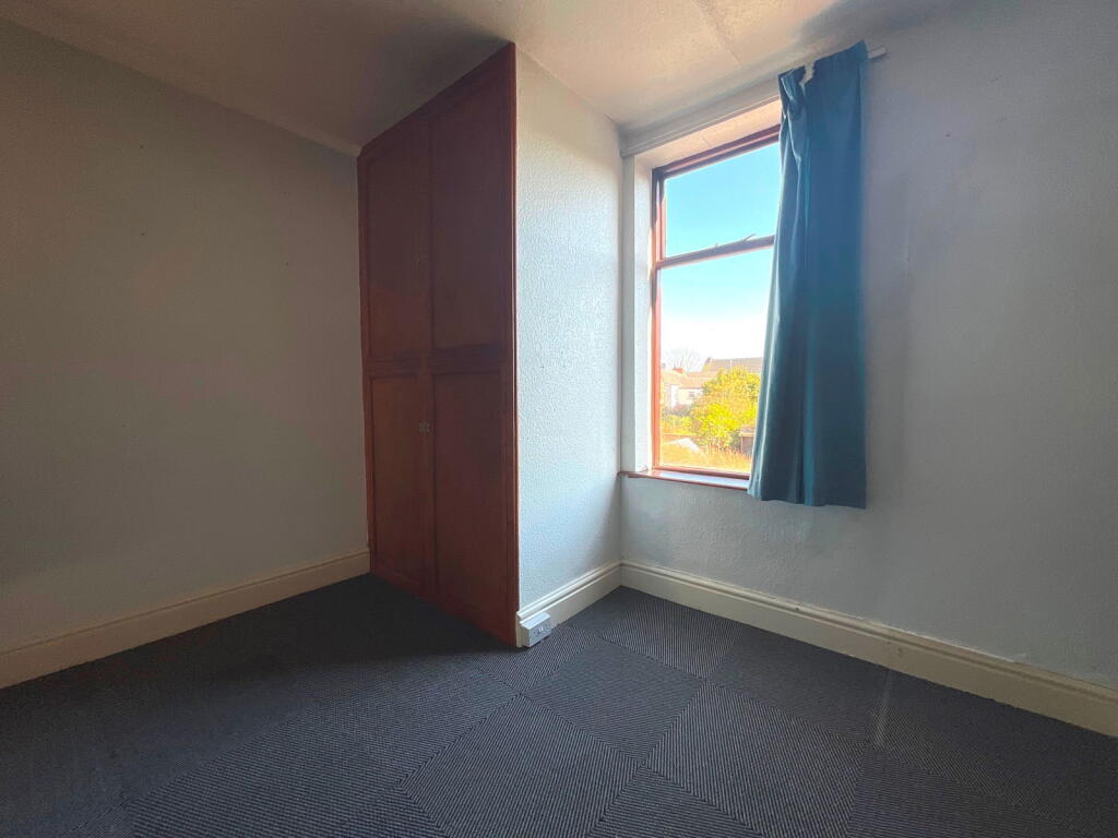
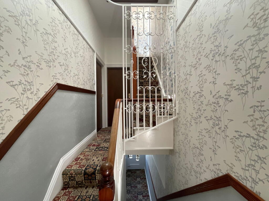
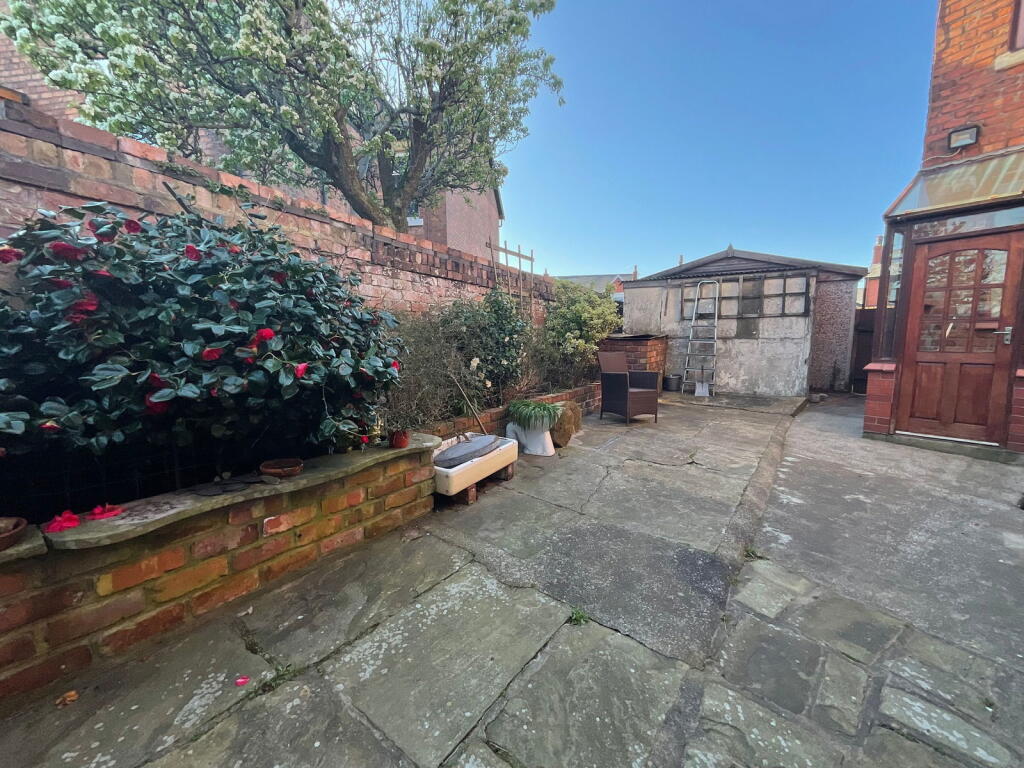
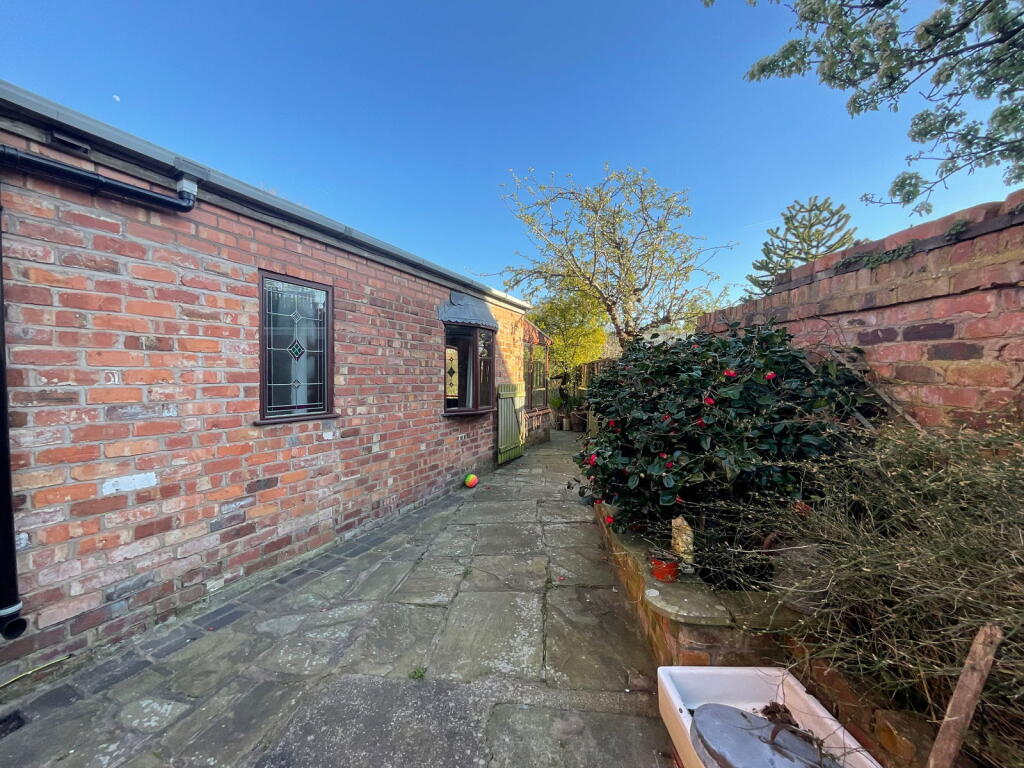
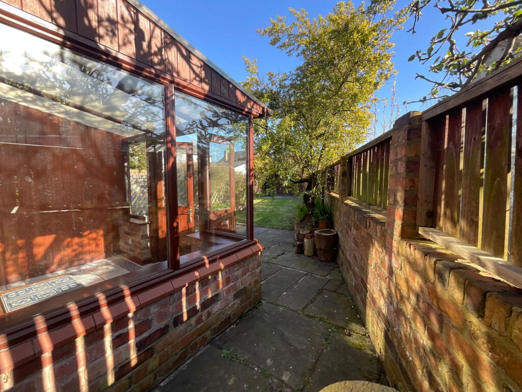
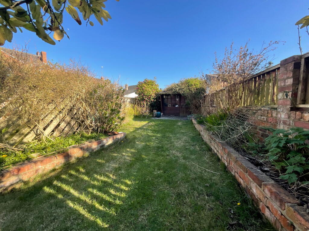
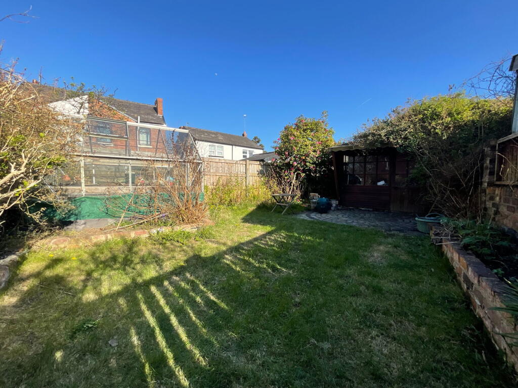
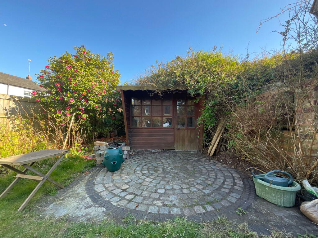
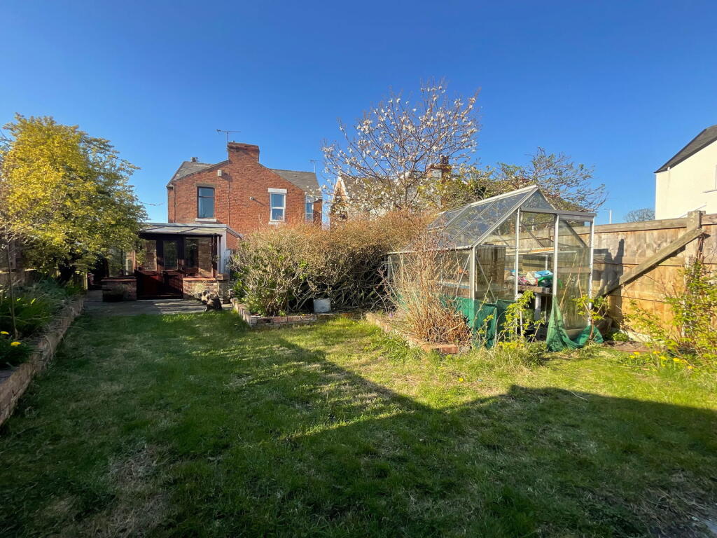
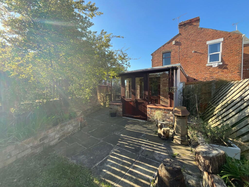
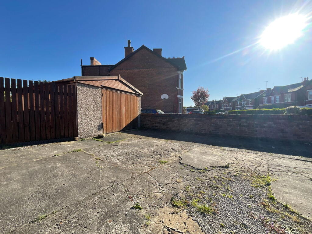
The property itself is a period property, showing traditional features such as the bay windows and brickwork. However, the interior requires some modernisation. The carpets and some of the decor appear dated, and some rooms are showing signs of wear and tear. The kitchen and bathroom are also in need of updating. The property has a good-sized garden with a shed and greenhouse, providing ample outdoor space.
Considering the average price per square foot in the area is £229, and this property is listed at £265,000 with 1730 sqft, the price per sqft is approximately £153. This is significantly lower than the average for the area. However, the need for modernisation should be factored into the price. Several nearby properties of similar size and type have sold for lower prices, although the lack of sqft data for many of these makes direct comparison difficult. The list price may be slightly high considering the condition, but the location and land size are positive factors.
Therefore, we give this property 7 / 10. *Disclaimer: This is our option and does constitute a recommendation or financial advice. Do your own research. *
- Price
- 7
- Condition
- 6
- Location
- 8
- Land
- 7
- Bedrooms
- 3
- Bathrooms
- 1
- Sqft (est)
- 1,730.00
- Lot (est)
- 1,584.90
The heatmap indicates the level of crime in the area. The color of the heatmap indicates the crime severity and recency.
Metrics Year-on-Year
- Average area value
- 273,000.00 £Increased by 27.13 %
- Est sale value
- 387,520.00 £Increased by 16.06 %
- Average area rental value
- 938.00 £/moDecreased by 8.75 %
- Est letting value
- 0.00 £/mo
- Est rental Yield
- 4.12 %Decreased by 28.22 %
- Crime Rate
- 10.00 %Unchanged by 0.00 %
Agent Activity
Karen Potter created the listing.
Nearby Schools
| Name | Type | Ofsted | Distance |
|---|---|---|---|
| Norwood Primary School | Community School | Good | 0.59 KM |
| Meols Cop High School | Community School | Outstanding | 0.61 KM |
| Holy Family Catholic Primary School | Voluntary Aided School | Good | 0.69 KM |
| Kew Woods Primary School | Academy Converter | 1.50 KM | |
| Bishop David Sheppard Children'S Centre | Children's Centre Linked Site | 1.55 KM |
Images


Nearby Streets
| Name | Average Price | Average Sqft | Distance |
|---|---|---|---|
| Keats Terrace | £ 190,000 | 0 | 0.00 KM |
| Brompton Road | £ 0 | 0 | 0.00 KM |
| Haig Avenue | £ 170,000 | 0 | 0.00 KM |
| Princes Gardens | £ 60,000 | 0 | 0.00 KM |
| Butts Lane | £ 0 | 0 | 0.00 KM |
Nearby Transport
| Name | NLC | TLC | Distance |
|---|---|---|---|
| Meols Cop | 2357 | MEC | 0.27 KM |
| Southport | 2262 | SOP | 2.91 KM |
| Birkdale | 2352 | BDL | 4.36 KM |
| Hillside | 2231 | HIL | 5.88 KM |
| Bescar Lane | 2351 | BES | 7.17 KM |
Nearby Listings
| Address | Price | Type | Score | Distance |
|---|---|---|---|---|
| Fir Street, Southport | £ 265,000 | BUY | 7 / 10 | 0.00 KM |
| Fir Street, Southport, Merseyside, PR8 6HD | £ 260,000 | BUY | 7 / 10 | 0.06 KM |
| Cypress Road, Southport, Merseyside, PR8 6HF | £ 245,000 | BUY | 7 / 10 | 0.07 KM |
| Fir Street, Southport | £ 240,000 | BUY | Unknown | 0.11 KM |
| Cypress Road, Southport, PR8 6HF | £ 250,000 | BUY | 7 / 10 | 0.12 KM |
Nearby Properties
| Address | Price | Distance |
|---|---|---|
| 23 Fir Street | £ 246,000 | 0.05 KM |
| 40 Fir Street | £ 169,950 | 0.05 KM |
| 8 Fir Street | £ 174,000 | 0.05 KM |
| 6 Fir Street | £ 155,000 | 0.05 KM |
| 36 Fir Street | £ 186,500 | 0.05 KM |