BR
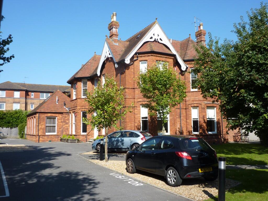
Marlborough Road, Bournemouth, Dorset, BH4
By Brown & Kay
£ 1,150
Brown & Kay says ..
bhy
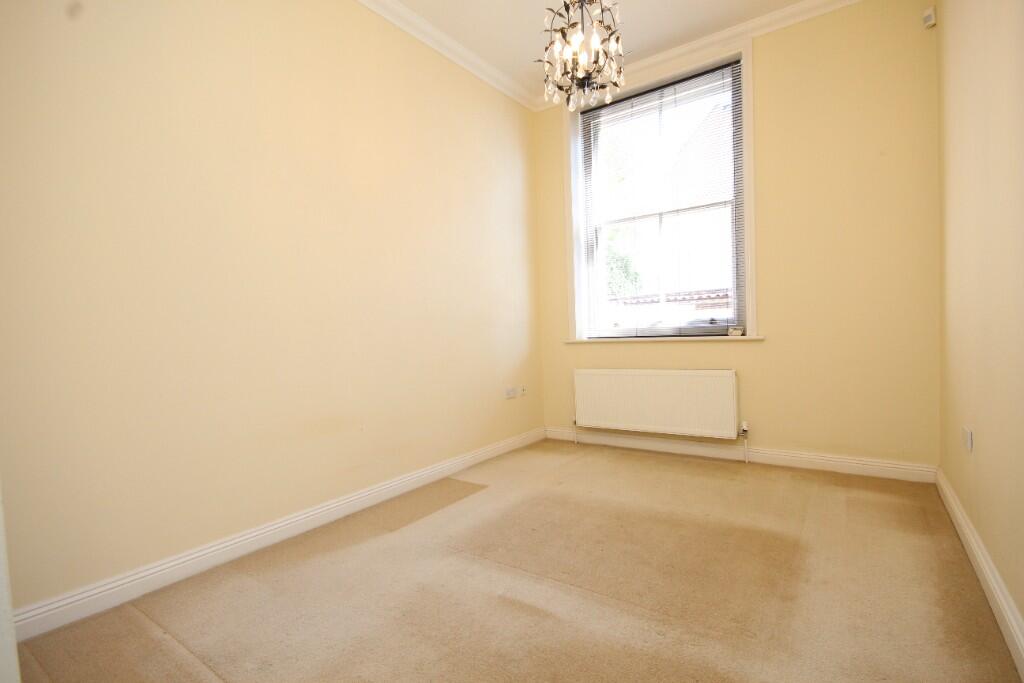
- Bedrooms
- 1
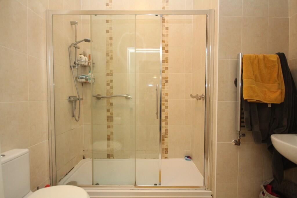
- Bathrooms
- 1
The heatmap indicates the level of crime in the area. The color of the heatmap indicates the crime severity and recency.
Metrics Year-on-Year
- Average area value
- 376,737.00 £Increased by 7.60 %
- Average area rental value
- 1,284.00 £/moDecreased by 2.65 %
- Est rental Yield
- 4.09 %Decreased by 9.51 %
- Crime Rate
- 0.00 %
from 350,142.00 £
from 1,319.00 £/mo
from 4.52 %
from 0.00 %
Agent Activity
Brown & Kay created the listing.
Nearby Schools
| Name | Type | Ofsted | Distance |
|---|---|---|---|
| St Michael'S Church Of England Primary School | Academy Converter | Good | 0.44 KM |
| Talbot Heath School | Other Independent School | 1.63 KM | |
| Kings Bournemouth | Other Independent School | Good | 1.80 KM |
| Bournemouth Christian School | Other Independent School | Good | 2.32 KM |
| St Martin'S School | Other Independent School | 2.48 KM |
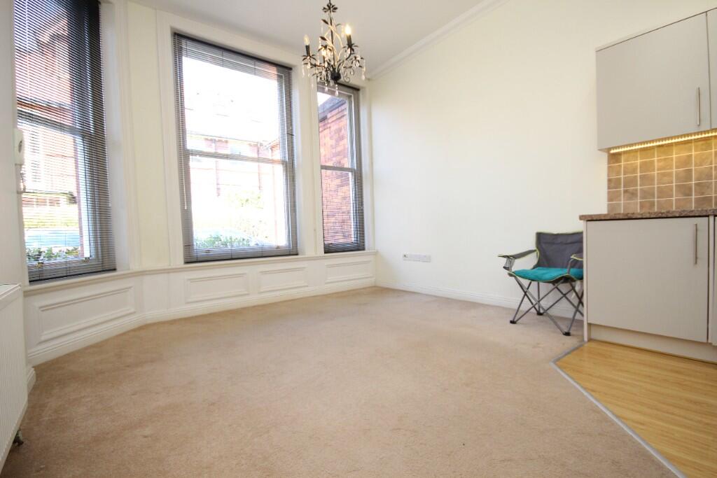
Images


Nearby Streets
| Name | Average Price | Average Sqft | Distance |
|---|---|---|---|
| Durley Roundabout | £ 332,980 | 0 | 0.00 KM |
| Middle Chine | £ 0 | 0 | 0.00 KM |
| The Cedars | £ 0 | 0 | 0.00 KM |
| Avenue Road | £ 200,000 | 0 | 0.00 KM |
| Milburn Close | £ 0 | 0 | 0.00 KM |
Nearby Transport
| Name | NLC | TLC | Distance |
|---|---|---|---|
| Branksome | 5875 | BSM | 3.15 KM |
| Bournemouth | 5876 | BMH | 3.18 KM |
| Parkstone (Dorset) | 5882 | PKS | 6.18 KM |
| Pokesdown | 5885 | POK | 7.53 KM |
Nearby Listings
| Address | Price | Type | Score | Distance |
|---|---|---|---|---|
| Poole Road, Bournemouth | £ 800 | RENT | Unknown | 0.08 KM |
| Poole Road, Bournemouth | £ 800 | RENT | Unknown | 0.08 KM |
| Albert Suite, 5 Marlborough Road | £ 1,150 | RENT | Unknown | 0.09 KM |
| Poole Road, Bournemouth | £ 900 | RENT | Unknown | 0.10 KM |
| Clarendon Road, Bournemouth, Dorset, BH4 | £ 2,200 | RENT | Unknown | 0.12 KM |
Nearby Properties
| Address | Price | Distance |
|---|---|---|
| 6a Marlborough Road | £ 995,000 | 0.01 KM |
| 5 Marlborough Road | £ 170,000 | 0.01 KM |
| 4 Portarlington Road | £ 1,000,000 | 0.18 KM |
| 48 - 50 Norwich Avenue West | £ 310,000 | 0.20 KM |
| 58 - 60 Norwich Avenue West | £ 625,000 | 0.20 KM |