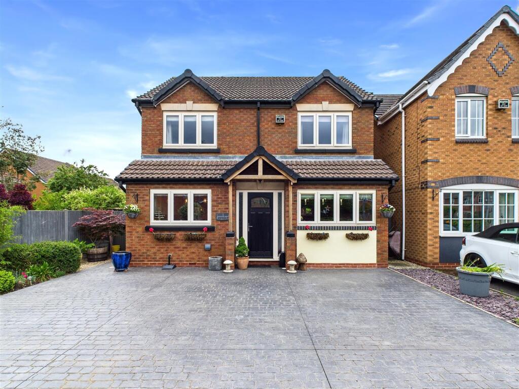

Pershore Drive, Branston, Burton on Trent
By Open House Estate Agents
£ 340,000
Reviews
3 out of 5 stars
Open House Estate Agents says ..
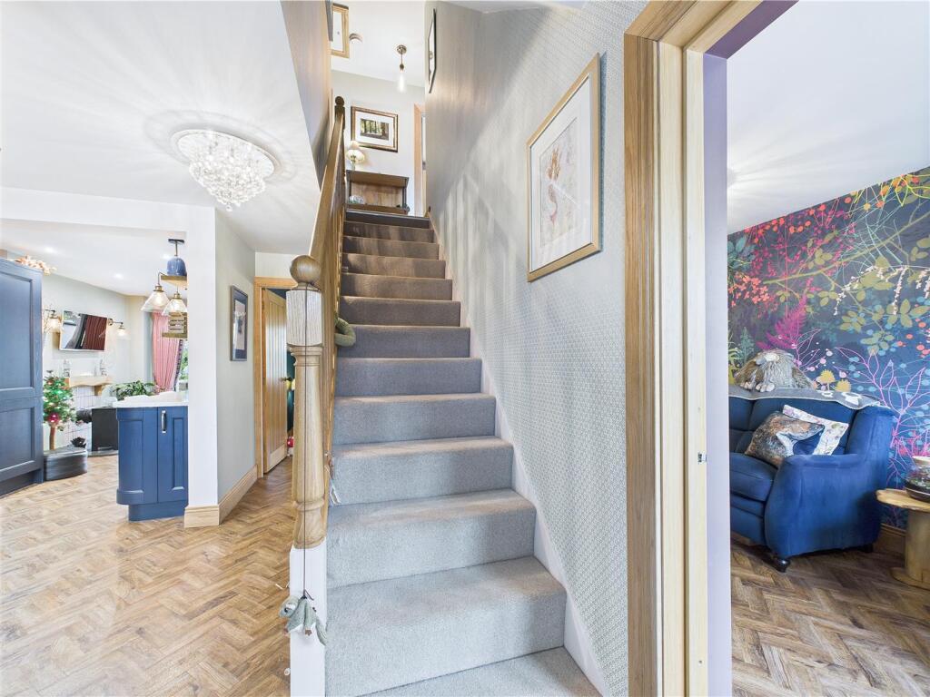
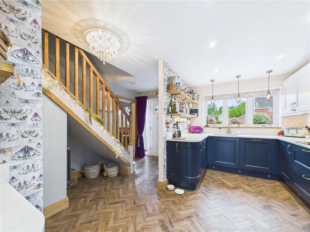
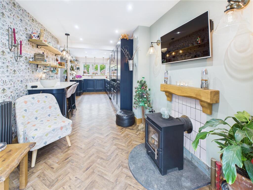
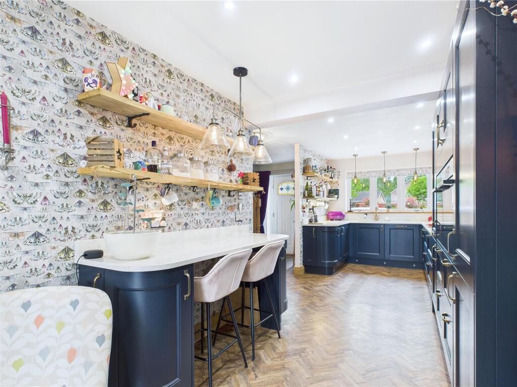
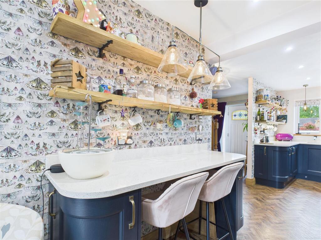
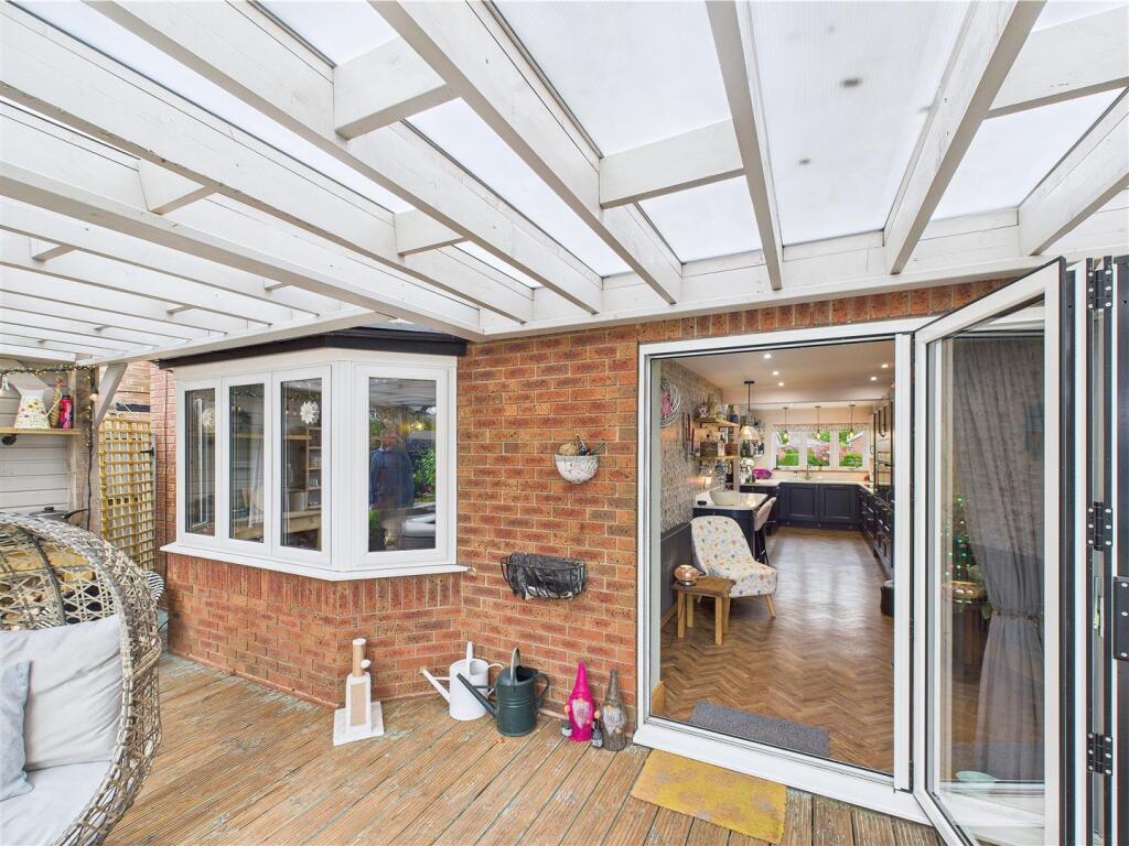
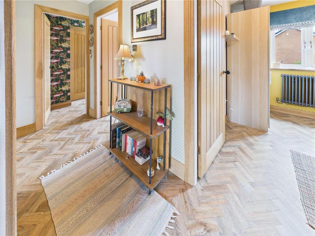
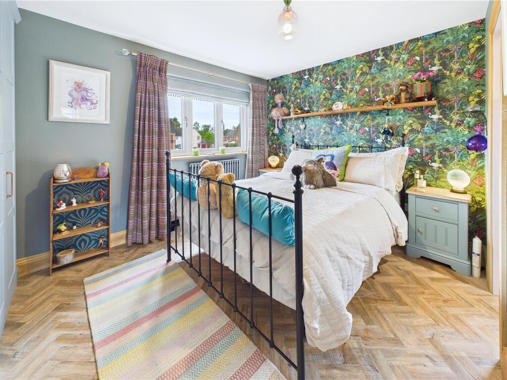
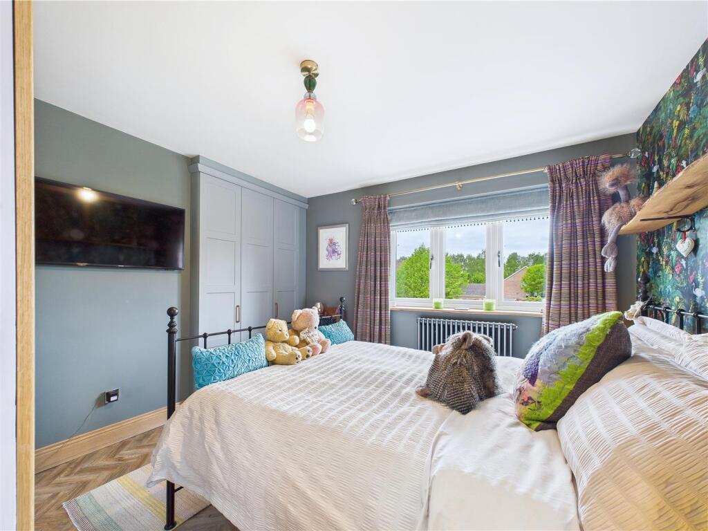
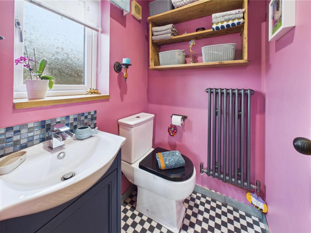
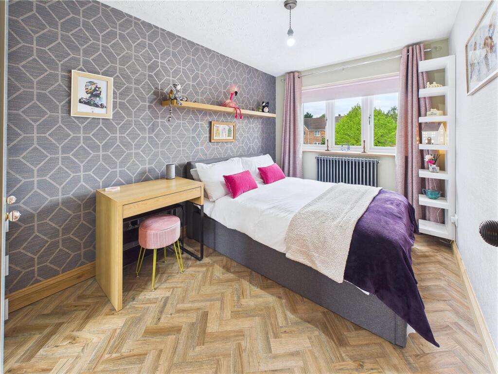
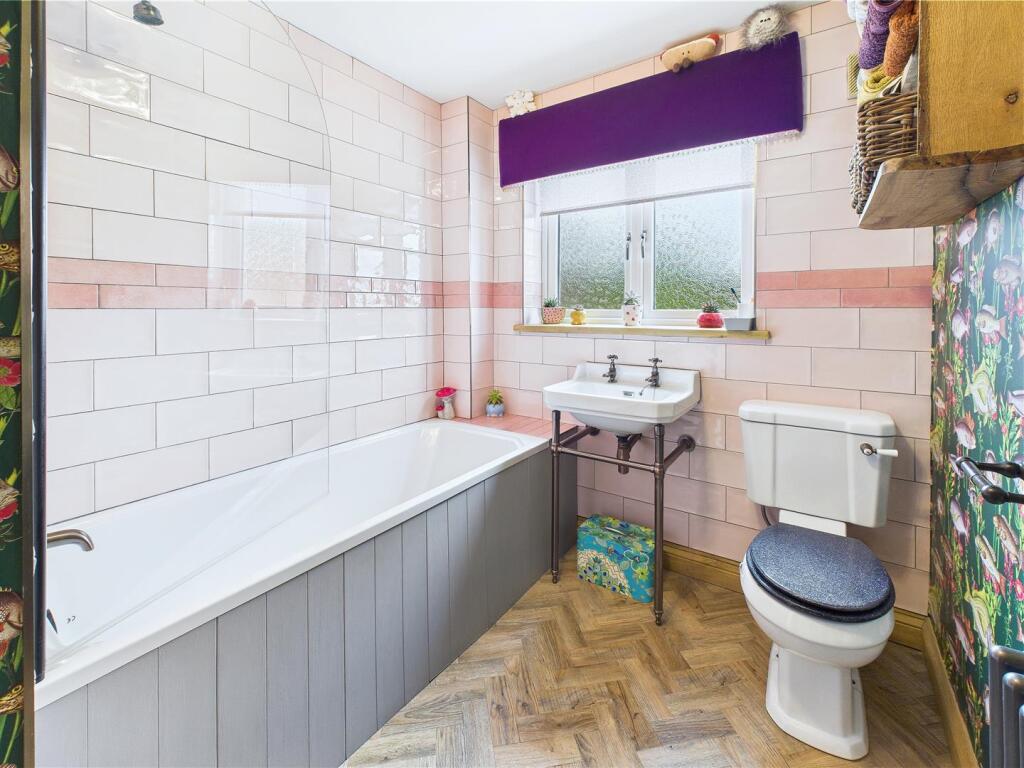
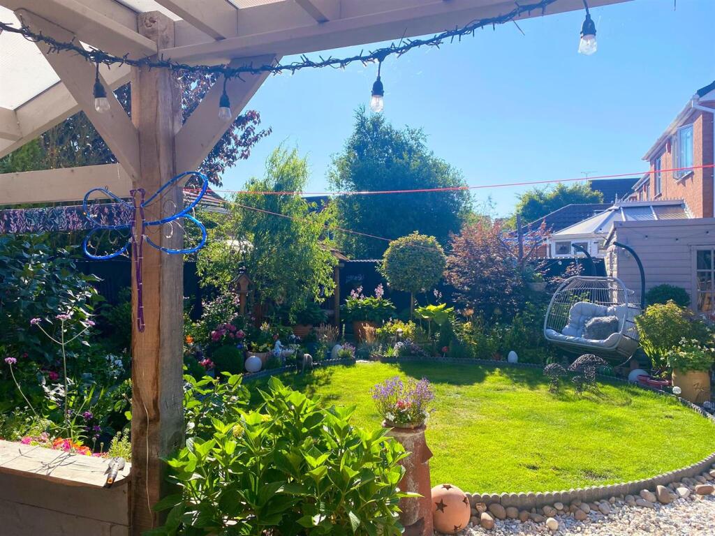
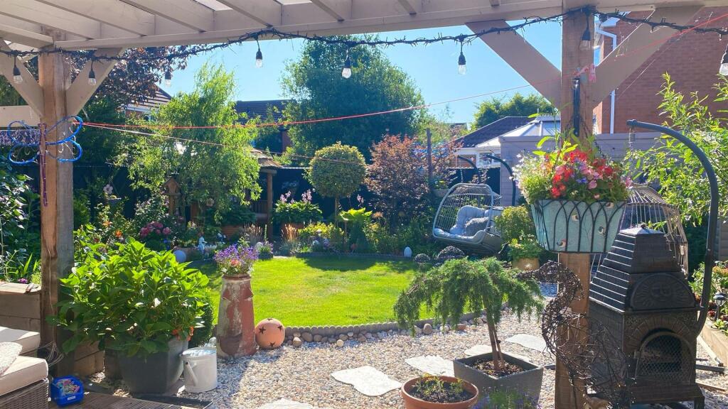
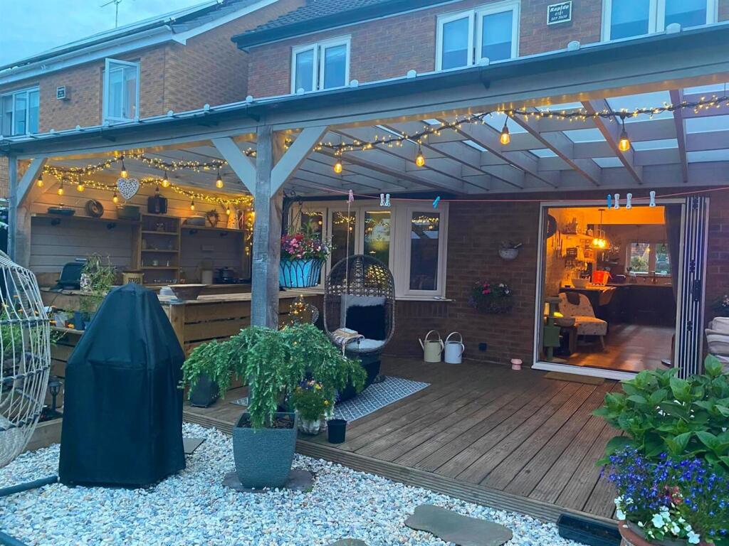
This elegantly designed family home intertwines classic charm with modern functionality. The home boasts high-end finishes throughout, with immaculate oak finish LTV flooring boosting the home's natural warmth. The living spaces are spacious and bright, boasting fresh paint and large windows fost...
Property Oracle says ..
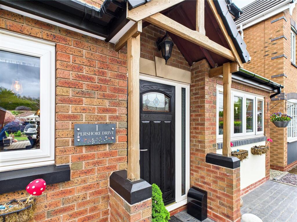
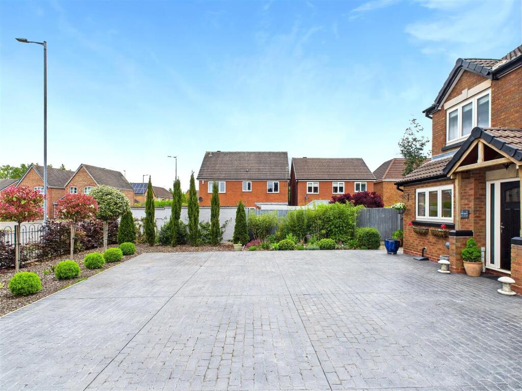
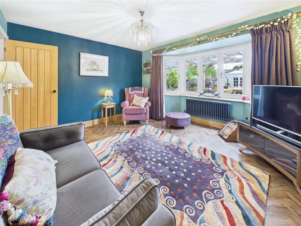
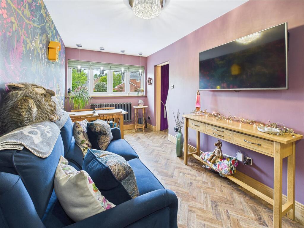
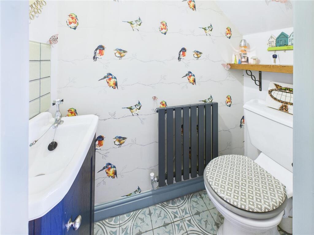
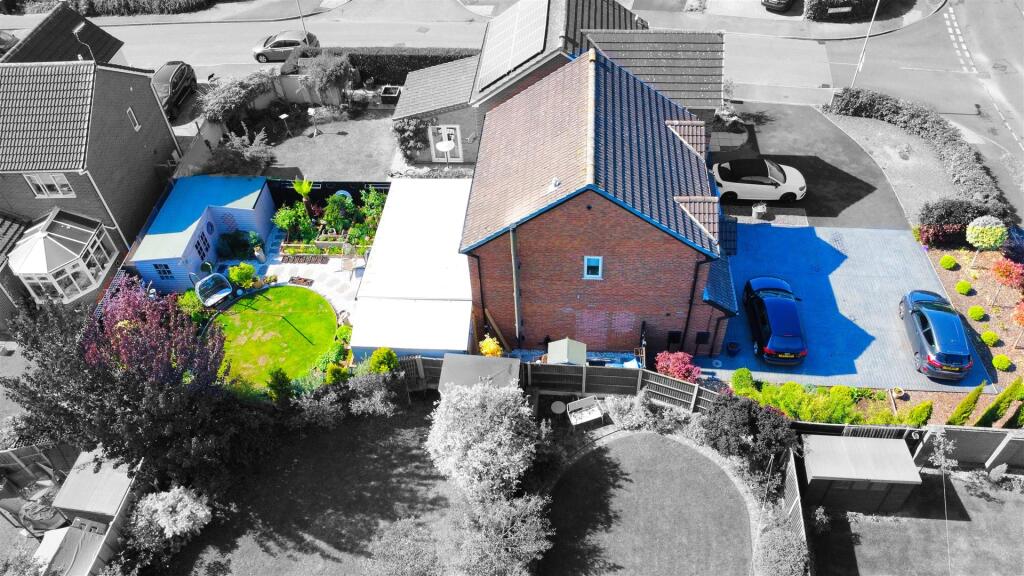
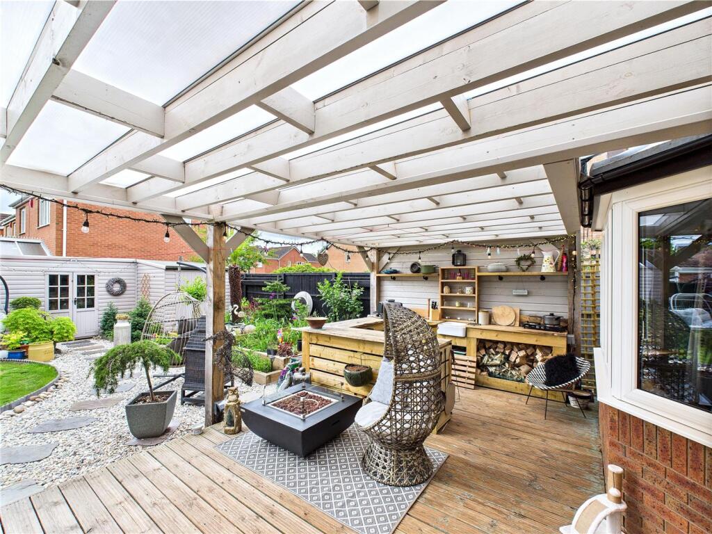
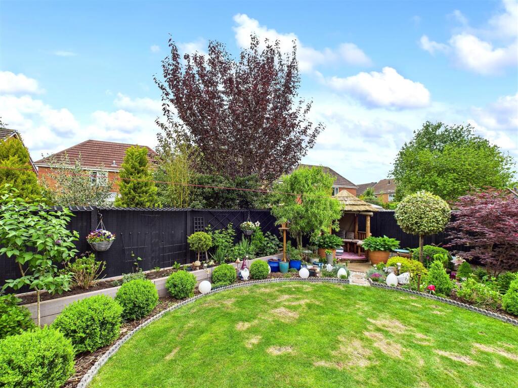
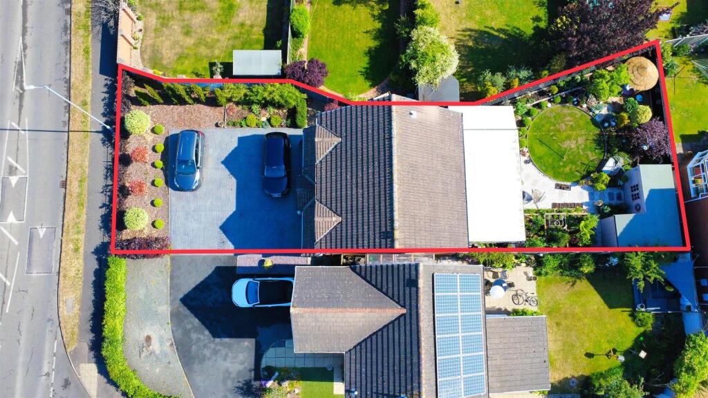
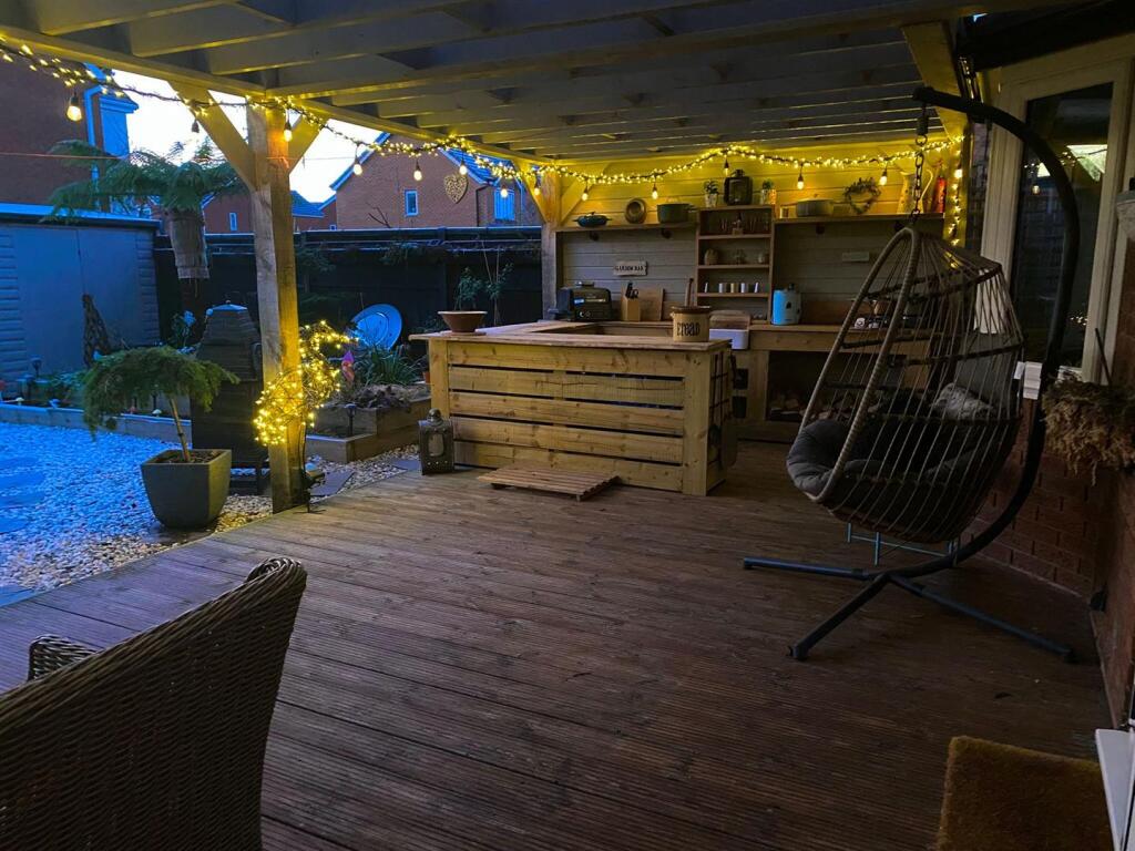
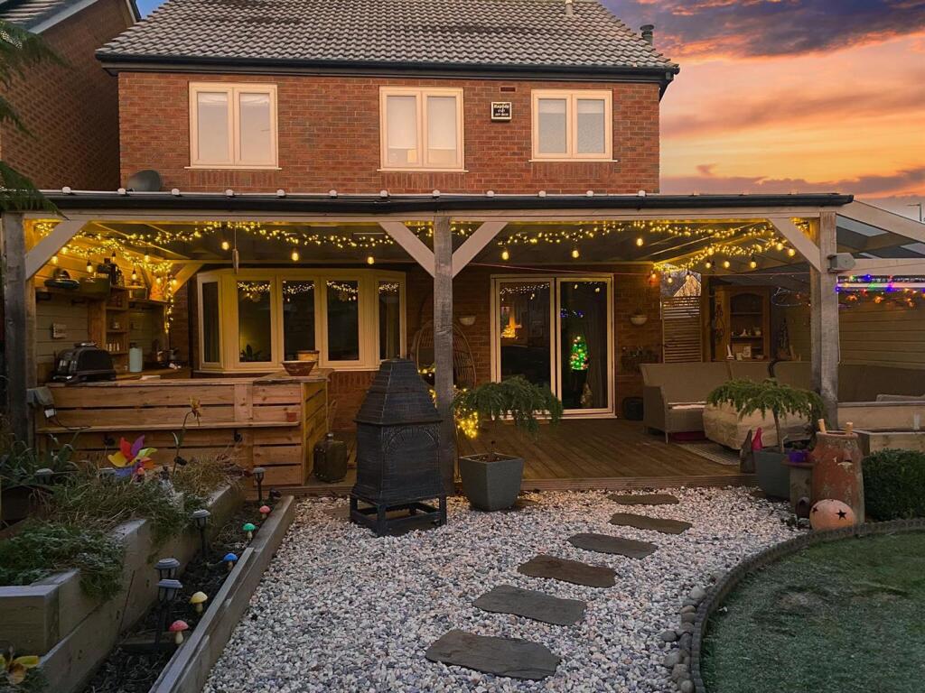
The property is a 4-bedroom detached house located on Pershore Drive in Branston, Burton on Trent. It’s situated in a residential area with nearby schools and transportation links. The images show a well-maintained property with modern updates, including a recently renovated kitchen and bathrooms. The property benefits from a good-sized garden, which is a desirable feature in the area.
The average house price in the area is £277,282, with an average price per square foot of £258. The property’s list price of £340,000 is higher than the average, but considering the property’s size (1,007.39 sqft), modern condition, and desirable features such as the garden, the price appears relatively reasonable compared to similar properties in the area. Nearby comparable properties range from £79,950 to £400,000, reflecting a wide range in property types and conditions. The lack of sqft data for these properties makes direct comparison difficult.
The proximity to schools like Anglesey Primary Academy (rated Good) and Paget High School is a positive factor for families. The nearby train station in Burton-on-Trent provides convenient access to other areas.
Based on the provided information and images, the property appears to be in excellent condition and offers a desirable location and garden. The list price, while above average, seems justifiable given the property’s features and the market conditions in the area.
Therefore, we give this property 7 / 10. *Disclaimer: This is our option and does constitute a recommendation or financial advice. Do your own research. *
- Price
- 7
- Condition
- 9
- Location
- 8
- Land
- 7
- Bedrooms
- 4
- Bathrooms
- 0
- Sqft (est)
- 1,007.39
The heatmap indicates the level of crime in the area. The color of the heatmap indicates the crime severity and recency.
Metrics Year-on-Year
- Average area value
- 265,830.00 £Decreased by 8.94 %
- Est sale value
- 286,098.76 £Increased by 20.34 %
- Average area rental value
- 1,067.00 £/moDecreased by 1.20 %
- Est letting value
- 1,007.39 £/mo
- Est rental Yield
- 4.82 %Increased by 8.56 %
- Crime Rate
- 4.00 %Unchanged by 0.00 %
Agent Activity
Open House Estate Agents created the listing.
Nearby Schools
| Name | Type | Ofsted | Distance |
|---|---|---|---|
| Paget High School | Community School | Requires improvement | 0.84 KM |
| Anglesey Primary Academy | Academy Sponsor Led | Good | 1.34 KM |
| Queen Street Children'S Centre | Children's Centre Linked Site | 1.50 KM | |
| Rykneld Primary School | Academy Converter | 1.81 KM | |
| Christ Church Primary School | Community School | Good | 1.91 KM |
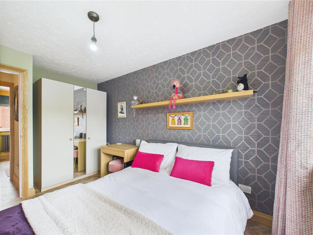
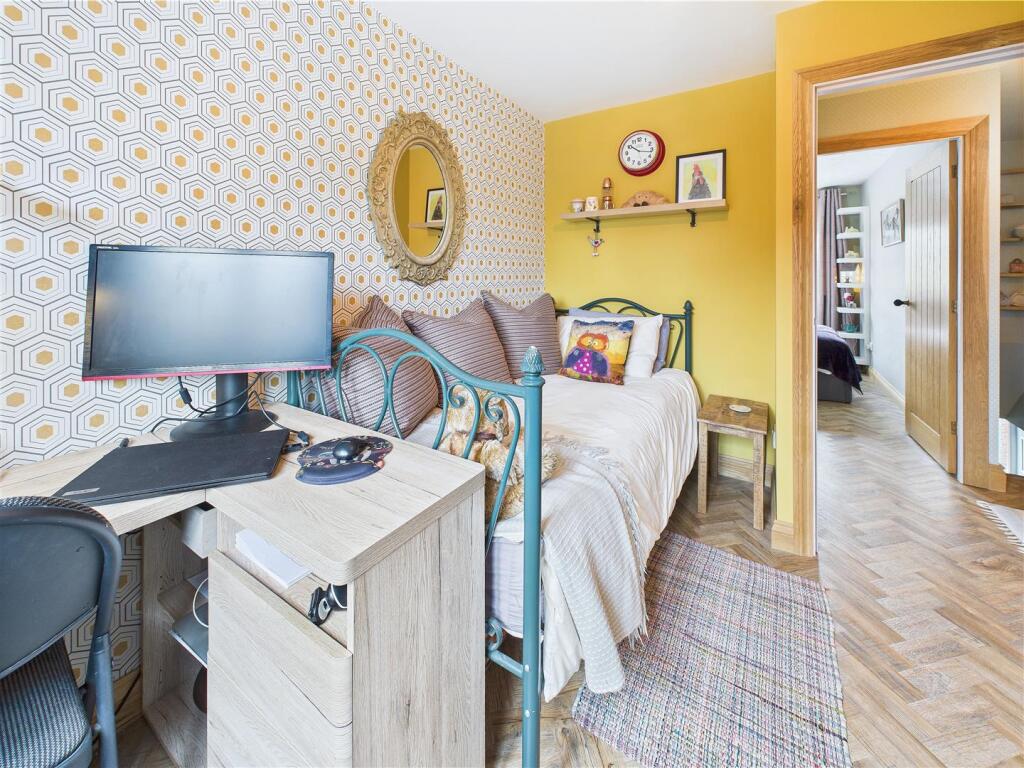
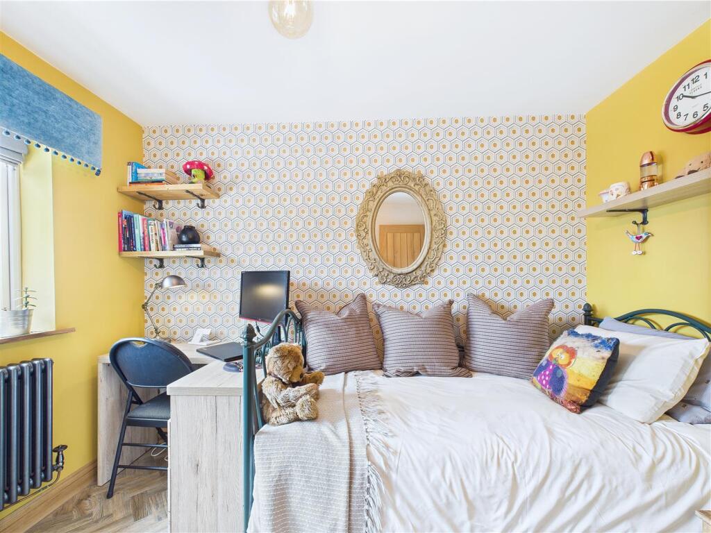
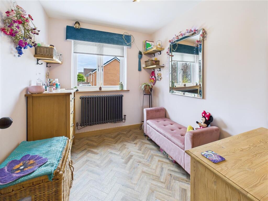
Images


Nearby Streets
| Name | Average Price | Average Sqft | Distance |
|---|---|---|---|
| Cleave Road | £ 215,000 | 0 | 0.00 KM |
| Fox Close | £ 0 | 0 | 0.00 KM |
| Haydock Close | £ 0 | 0 | 0.00 KM |
| Mellor Road | £ 210,000 | 0 | 0.00 KM |
| Jephson Road | £ 250,000 | 0 | 0.00 KM |
Nearby Transport
| Name | NLC | TLC | Distance |
|---|---|---|---|
| Burton-On-Trent | 1658 | BUT | 1.94 KM |
| Tutbury And Hatton | 1783 | TUT | 8.39 KM |
Nearby Listings
| Address | Price | Type | Score | Distance |
|---|---|---|---|---|
| Pershore Drive, Branston, Burton on Trent | £ 340,000 | BUY | 7 / 10 | 0.00 KM |
| Primrose Drive, Branston, Burton-On-Trent | £ 240,000 | BUY | 7 / 10 | 0.06 KM |
| Pershore Drive, Branston, Burton-On-Trent | £ 245,000 | BUY | 7 / 10 | 0.08 KM |
| Pershore Drive, Branston, Burton-On-Trent | £ 260,000 | BUY | 7 / 10 | 0.09 KM |
| Pershore Drive, Branston, DE14 | £ 260,000 | BUY | Unknown | 0.09 KM |
Nearby Properties
| Address | Price | Distance |
|---|---|---|
| 10 Pershore Drive | £ 167,500 | 0.06 KM |
| 22 Pershore Drive | £ 147,000 | 0.06 KM |
| 28 Pershore Drive | £ 167,500 | 0.06 KM |
| 2 Pershore Drive | £ 175,000 | 0.06 KM |
| 11 Pershore Drive | £ 79,950 | 0.06 KM |