SK
LONDON | STUDENT | SEPTEMBER | W10
By Skylets
£ 359
Skylets says ..
LONDON | STUDENT | SEPTEMBER | W10
- Bedrooms
- 0
- Bathrooms
- 1
The heatmap indicates the level of crime in the area. The color of the heatmap indicates the crime severity and recency.
Metrics Year-on-Year
- Average area value
- 312,574.00 £Increased by 1.14 %
- Average area rental value
- 1,096.00 £/moIncreased by 18.74 %
- Est rental Yield
- 4.21 %Increased by 17.60 %
- Crime Rate
- 9.00 %Unchanged by 0.00 %
from 309,063.00 £
from 923.00 £/mo
from 3.58 %
from 9.00 %
Agent Activity
Skylets created the listing.
Nearby Schools
| Name | Type | Ofsted | Distance |
|---|---|---|---|
| Queen'S Park Primary School | Community School | Good | 0.21 KM |
| Early Years Service At Holmfield House | Children's Centre | 0.23 KM | |
| St Thomas' Cofe Primary School | Voluntary Aided School | Outstanding | 0.26 KM |
| The St Marylebone Church Of England Bridge School | Free Schools Special | Good | 0.26 KM |
| Saint Mary'S Catholic Primary School | Voluntary Aided School | Good | 0.37 KM |
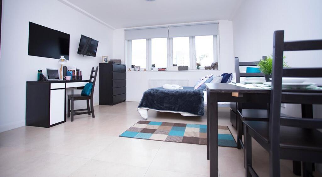
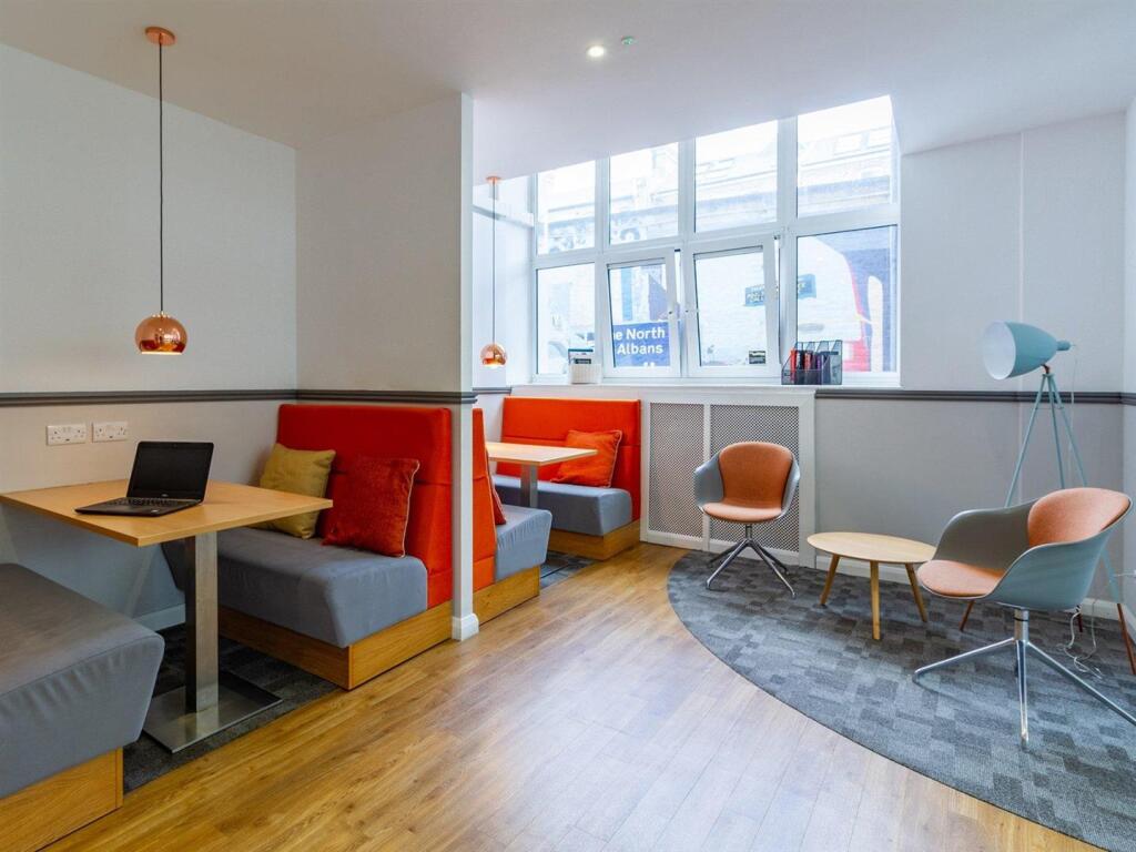
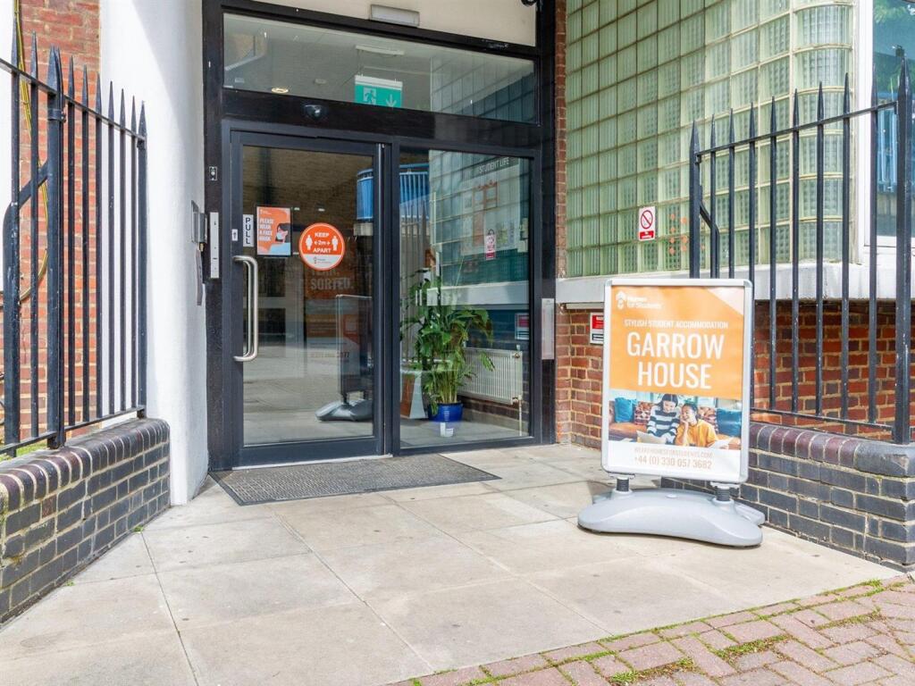
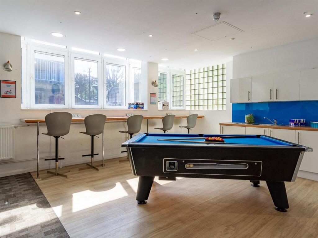
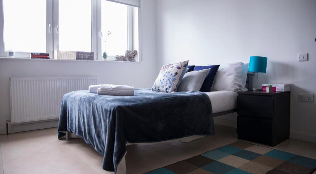
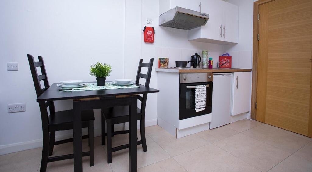
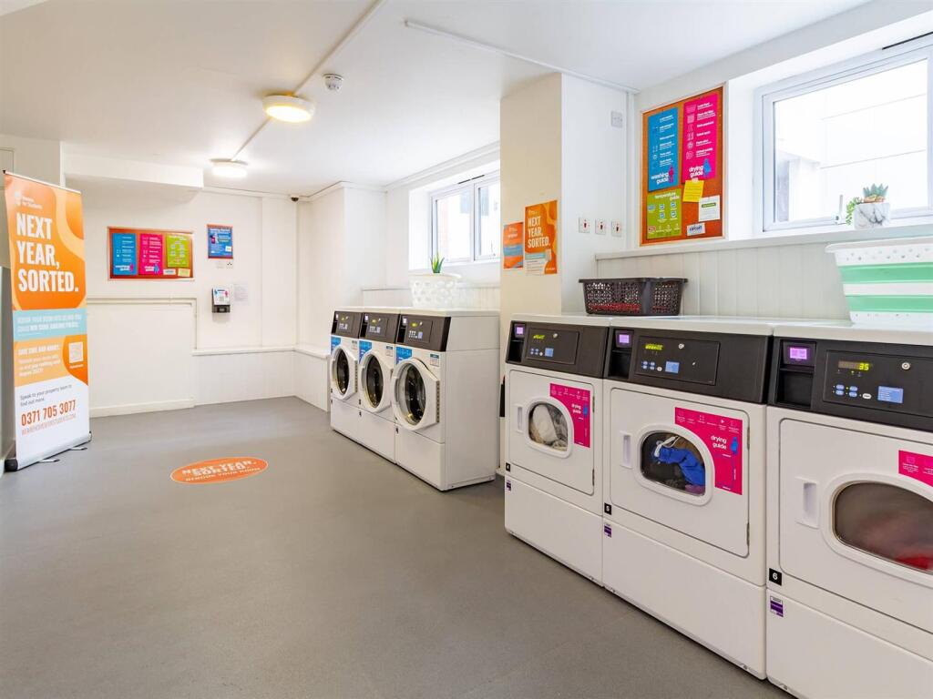
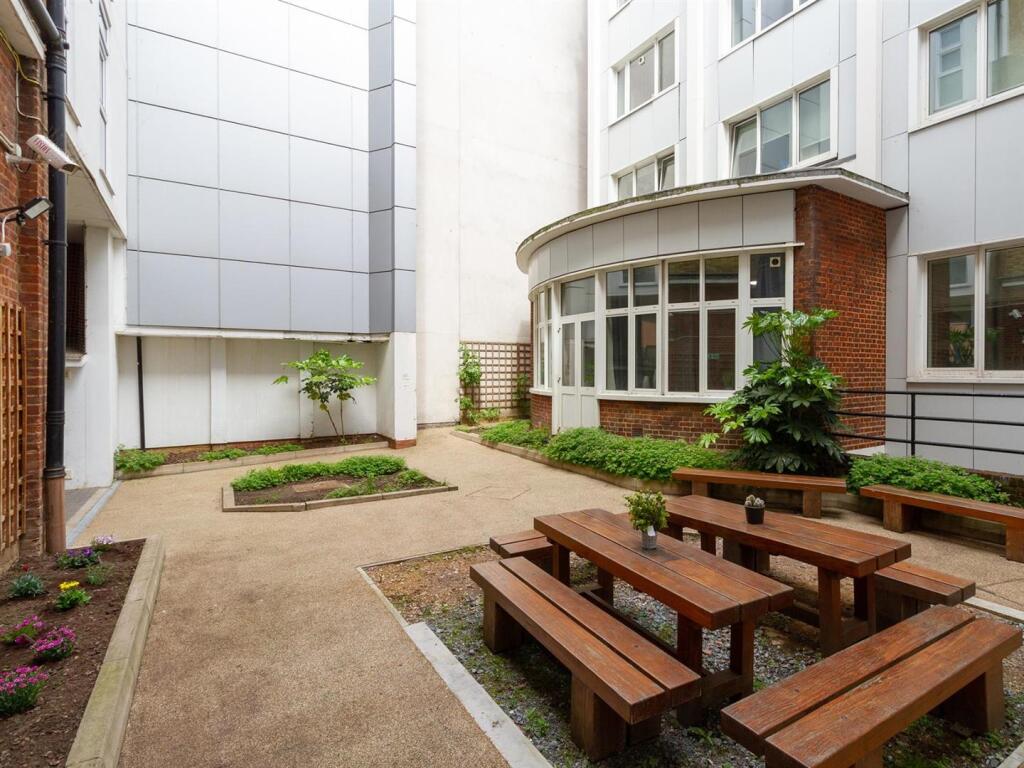
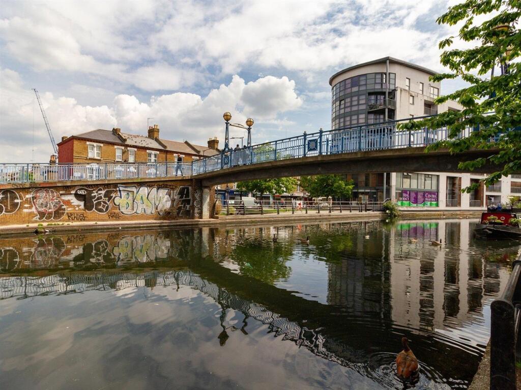
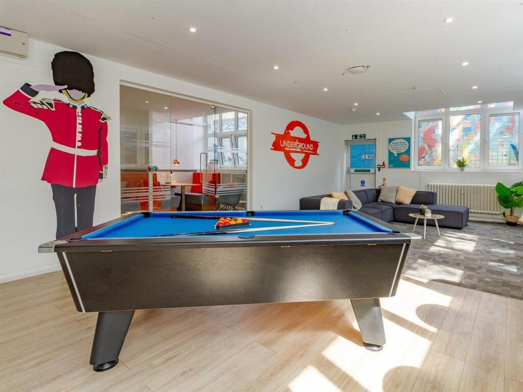
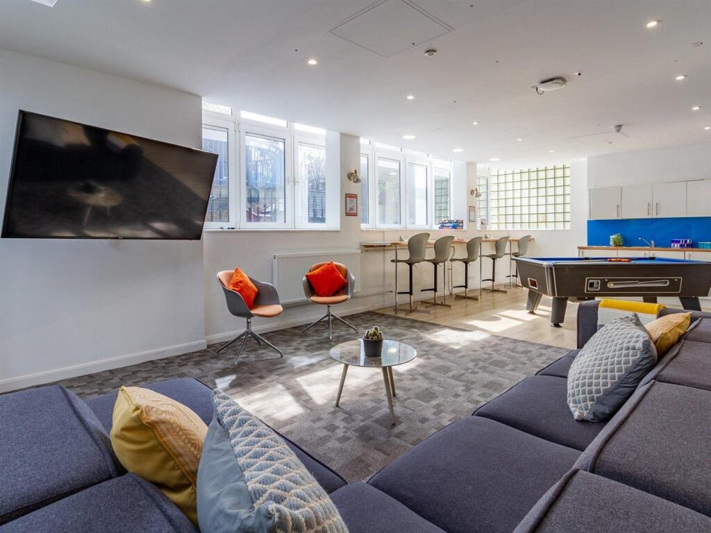
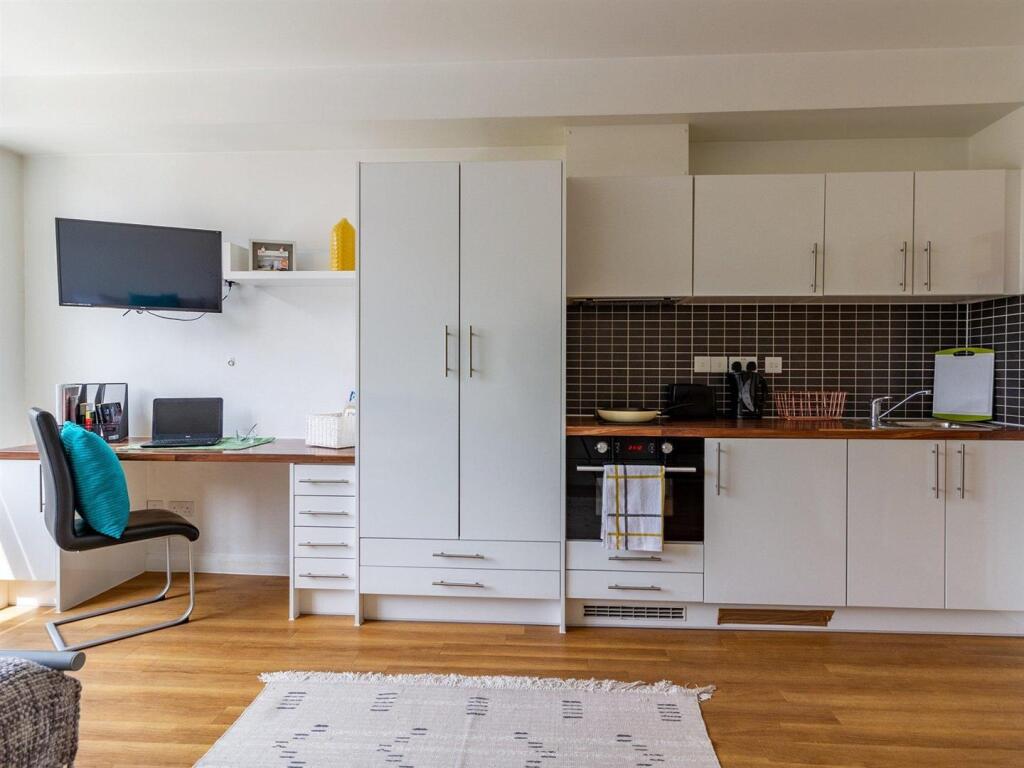
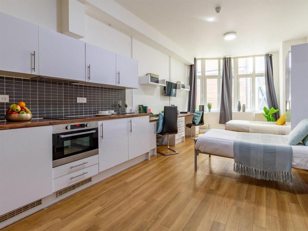
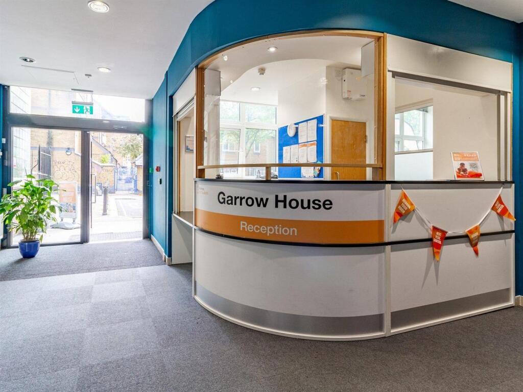
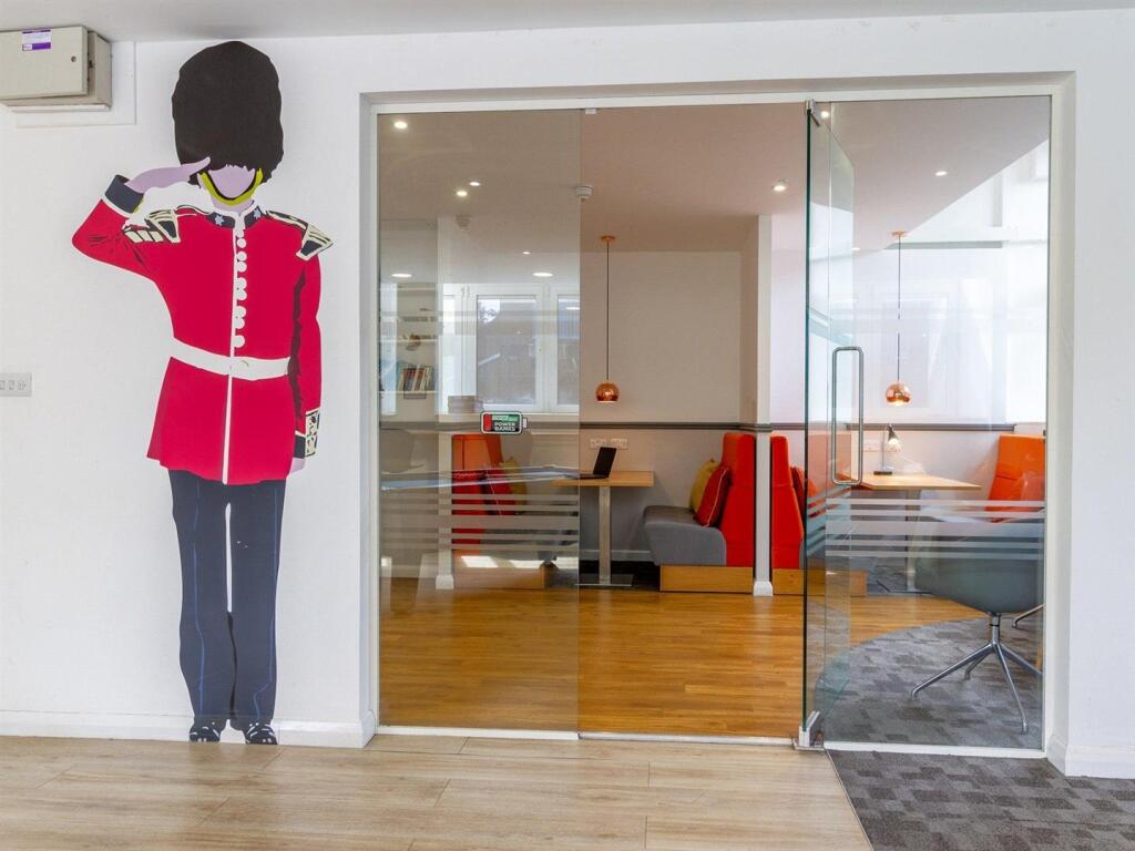
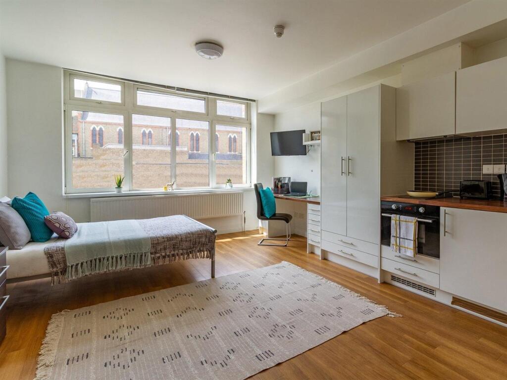
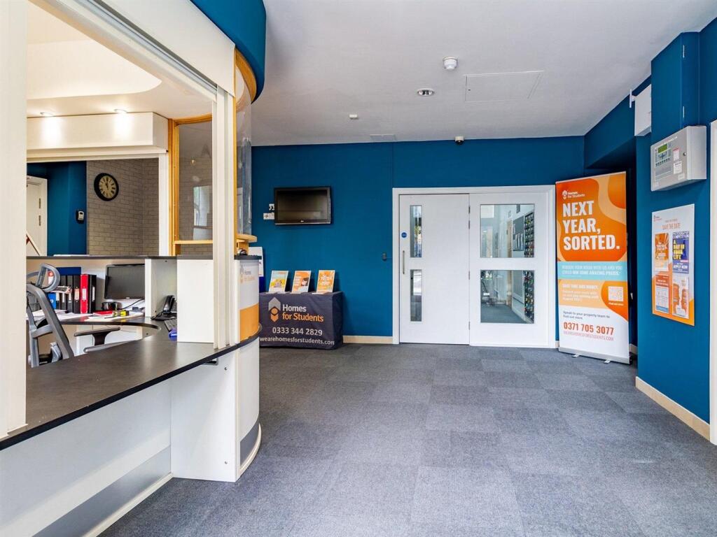
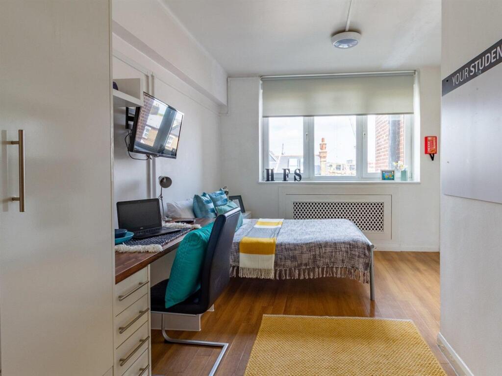
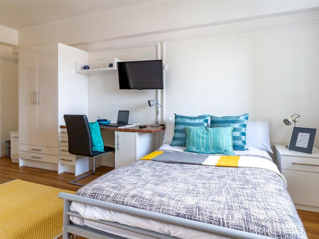
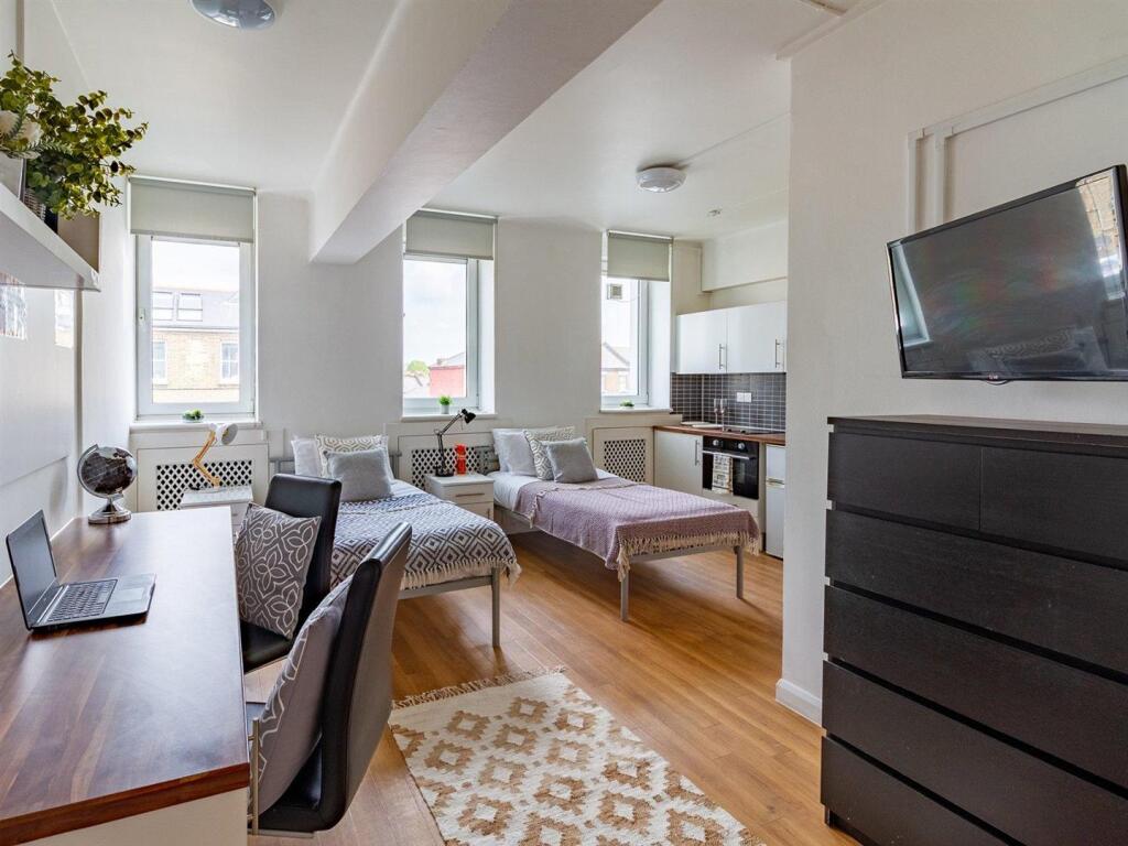
Images


Nearby Streets
| Name | Average Price | Average Sqft | Distance |
|---|---|---|---|
| Russell's Wharf | £ 0 | 0 | 0.00 KM |
| East Row | £ 415,000 | 0 | 0.00 KM |
| Kensal Road | £ 475,000 | 0 | 0.00 KM |
| Elkstone Road | £ 808,333 | 0 | 0.00 KM |
| St Joseph's Close | £ 0 | 0 | 0.00 KM |
Nearby Transport
| Name | NLC | TLC | Distance |
|---|---|---|---|
| Queens Park (London) | 1419 | QPW | 0.96 KM |
| Brondesbury Park | 1438 | BSP | 1.70 KM |
| Kensal Rise | 1448 | KNR | 1.70 KM |
| Kensal Green | 1447 | KNL | 2.02 KM |
| Kilburn High Road | 1415 | KBN | 2.12 KM |
Nearby Listings
| Address | Price | Type | Score | Distance |
|---|---|---|---|---|
| LONDON | STUDENT | SEPTEMBER | W10 | £ 395 | RENT | Unknown | 0.00 KM |
| LONDON | STUDENT | SEPTEMBER | W10 | £ 359 | RENT | Unknown | 0.00 KM |
| LONDON | STUDENT | SEPTEMBER | W10 | £ 345 | RENT | Unknown | 0.09 KM |
| LONDON | STUDENT | SEPTEMBER | W10 | £ 385 | RENT | Unknown | 0.09 KM |
| LONDON | STUDENT | SEPTEMBER | W10 | £ 209 | RENT | Unknown | 0.09 KM |
Nearby Properties
| Address | Price | Distance |
|---|---|---|
| 586 Harrow Road | £ 545,000 | 0.11 KM |
| 608 Harrow Road | £ 525,000 | 0.11 KM |
| 15 Alperton Street | £ 940,000 | 0.15 KM |
| 17 Alperton Street | £ 470,000 | 0.15 KM |
| 27 Alperton Street | £ 855,000 | 0.15 KM |